Filmer Wood

Wood, Forest in Kent Maidstone

England

Filmer Wood

Sheep near Doddington On Hopes Hill. I think she's a Southdown.
Sheep near Doddington Credit: pam fray

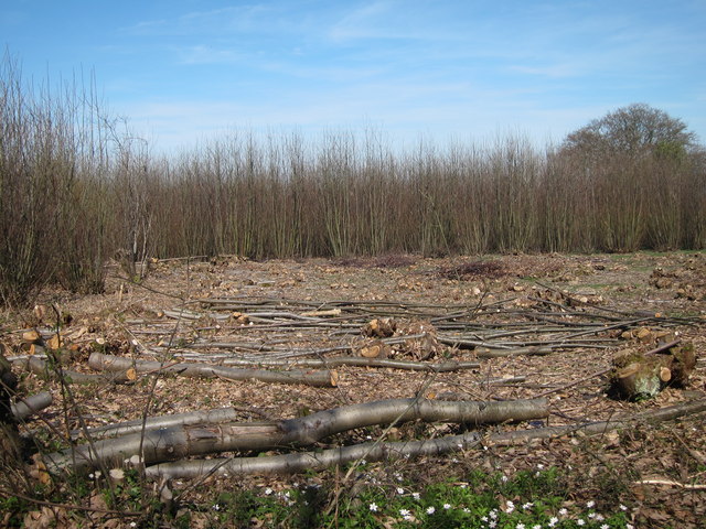
Filmer Wood, also known as Kent Wood or Forest Wood, is a picturesque woodland located in the county of Kent, England. Covering an area of approximately 200 acres, it is a popular destination for nature lovers, hikers, and outdoor enthusiasts.

The woodland is characterized by its dense and diverse vegetation, comprising a mix of broadleaf trees, including oak, beech, and chestnut, as well as conifers such as pine and spruce. The lush greenery provides a soothing and tranquil ambiance, making it an ideal escape from the hustle and bustle of urban life.

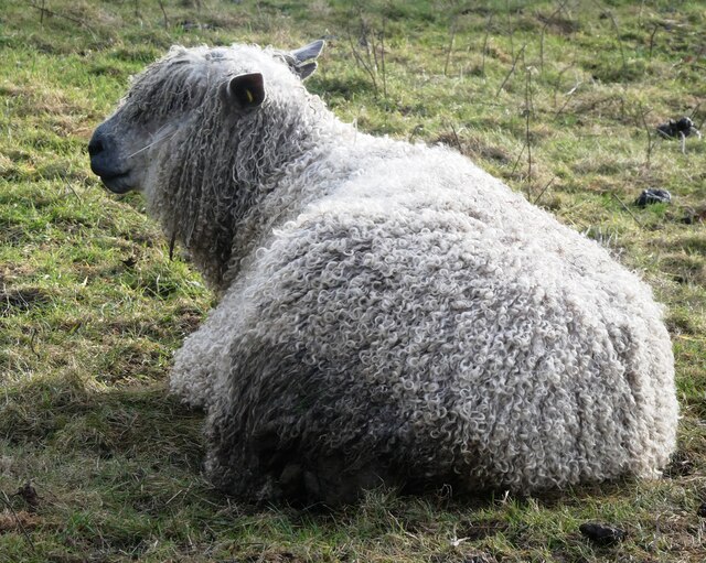
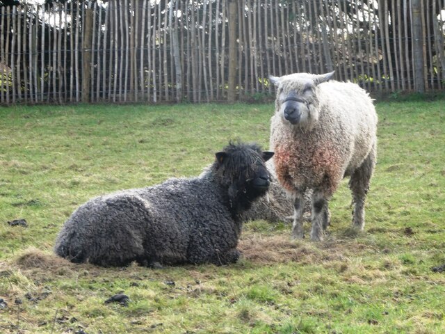
Filmer Wood is home to a variety of wildlife, including some rare and protected species. Visitors may encounter deer, foxes, badgers, and a myriad of bird species, making it a haven for birdwatchers. The forest floor is rich in flora, with an array of wildflowers, ferns, and mosses adding to the natural beauty of the area.

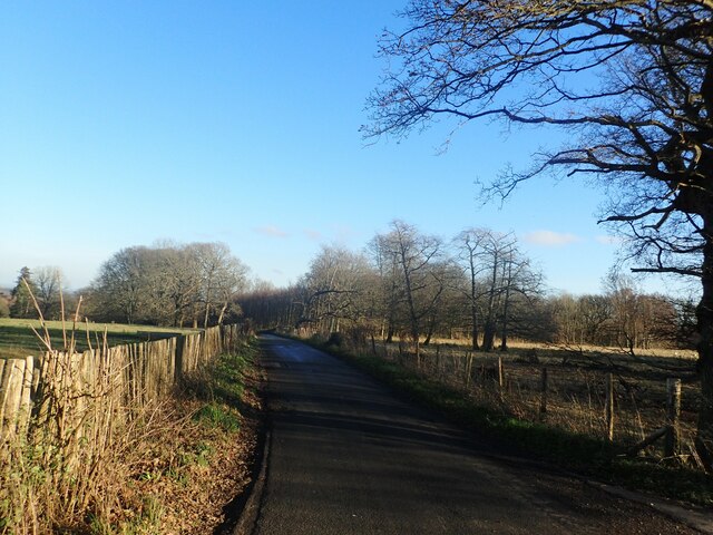
The woodland offers a network of well-maintained walking trails, allowing visitors to explore its hidden corners and discover its hidden gems. These trails cater to all levels of fitness and can be enjoyed by families, couples, and solo adventurers alike. Along the way, there are designated picnic areas and benches, providing opportunities for visitors to relax and enjoy the stunning surroundings.

Filmer Wood is managed by the local authorities, who ensure its conservation and preservation. As such, visitors are encouraged to adhere to the designated paths and follow the guidelines in place to protect the natural habitat and maintain the tranquility of the woodland.

Overall, Filmer Wood in Kent is a charming and enchanting destination that offers a peaceful retreat, where visitors can immerse themselves in nature and experience the beauty of the English countryside.

If you have any feedback on the listing, please let us know in the comments section below.

Filmer Wood Images

Images are sourced within 2km of 51.268618/0.75282041 or Grid Reference TQ9255. Thanks to Geograph Open Source API. All images are credited.

Sheep near Doddington On Hopes Hill. I think she's a Southdown.
Sheep near Doddington
On Hopes Hill. I think she's a Southdown.
Sheep near Doddington On Hopes Hill. I think they are Southdown.
Sheep near Doddington
On Hopes Hill. I think they are Southdown.
S.W.Doughty, Doddington Award winning traditional butchers, with their own abattoir and farm shop situated in the village of Doddington. The Doughty family have been providing customers in the surrounding area for over 100 years.
S.W.Doughty, Doddington
Award winning traditional butchers, with their own abattoir and farm shop situated in the village of Doddington. The Doughty family have been providing customers in the surrounding area for over 100 years.
View from Torry Hill This is looking north from the junction with Coalpit Lane.
View from Torry Hill
This is looking north from the junction with Coalpit Lane.
Torry Hill This is just past the junction with Coalpit Lane on the way to Doddington.
Torry Hill
This is just past the junction with Coalpit Lane on the way to Doddington.
Ashdown Lane A very narrow lane. There is lots of flint stones in the road washed from the fields.
Ashdown Lane
A very narrow lane. There is lots of flint stones in the road washed from the fields.
Byway near Syndale Bottom The short byway leads to Coalpit Lane, from here at junction with Ashdown Lane.
Byway near Syndale Bottom
The short byway leads to Coalpit Lane, from here at junction with Ashdown Lane.
Coalpit Lane
Coalpit Lane
Coppiced woodland in Lade Wood Recently felled wood near to Lade Wood Cottage.
Coppiced woodland in Lade Wood
Recently felled wood near to Lade Wood Cottage.
Field by Ashdown Road
Trees in Blossom In a field of sheep by Coalpit Lane.
Trees in Blossom
In a field of sheep by Coalpit Lane.
Coalpit Lane junction
Crop field by Lone Barn Road The field was in the process of being harvested. A combine harvester and tractor at the other end of the field.
Crop field by Lone Barn Road
The field was in the process of being harvested. A combine harvester and tractor at the other end of the field.
Lone Barn Road Very narrow lane.
Lone Barn Road
Very narrow lane.
Tractor off Lone Barn Road Maitlands Farm in the distance.
Tractor off Lone Barn Road
Maitlands Farm in the distance.
Road south of Doddington
Field south of Doddington
The Street, Frinsted With traffic calming.
The Street, Frinsted
With traffic calming.
Show me another place!

Filmer Wood is located at Grid Ref: TQ9255 (Lat: 51.268618, Lng: 0.75282041)

Administrative County: Kent

District: Maidstone

Police Authority: Kent

What 3 Words

///crossword.evaporate.streamers. Near Lenham, Kent

Related Wikis

Wichling

Wichling (otherwise Wychling) is a village and civil parish within the local government district of Maidstone, in England. The parish lies approximately...

Torry Hill Railway

The Torry Hill Railway is a private miniature railway with the unusual gauge of 9 inches (229 mm) at Torry Hill near Frinsted in the Borough of Maidstone...

Doddington, Kent

Doddington is a village and civil parish in the district of Swale in Kent, England. The Syndale Valley shelters the central part in the Kent Downs Area...

Pines Garden

Pines Garden is a house and large garden, located on the winding beach road from St Margaret's at Cliffe village down to the beach at St Margeret's Bay...
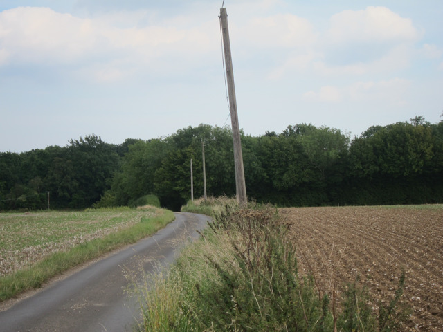
Nearby Amenities

Located within 500m of 51.268618,0.75282041
Wichling
Alt Name: Wychling
Place: village
Source: npe
Wikidata: Q16918069
Wikipedia: en:Wichling
Lat/Long: 51.2730563/0.7529211
Post Box
Postal Code: ME9
Ref: ME9 44
Source: survey
Lat/Long: 51.2713236/0.7507693
Barrier: stile
Bicycle: yes
Foot: yes
Material: wood
Stile: stepover
Lat/Long: 51.2651438/0.7563363
Generator Method: photovoltaic
Generator Output Electricity: yes
Generator Source: solar
Generator Type: solar_photovoltaic_panel
Location: roof
Power: generator
Lat/Long: 51.2727956/0.753171
The data included in this document is from www.openstreetmap.org. The data is made available under ODbL.

Have you been to Filmer Wood?

Leave your review of Filmer Wood below (or comments, questions and feedback).