Aldhamhall Wood
Wood, Forest in Essex Colchester
England
Aldhamhall Wood
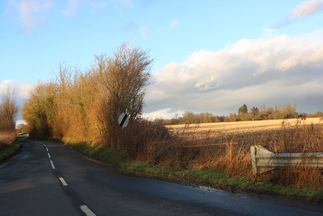
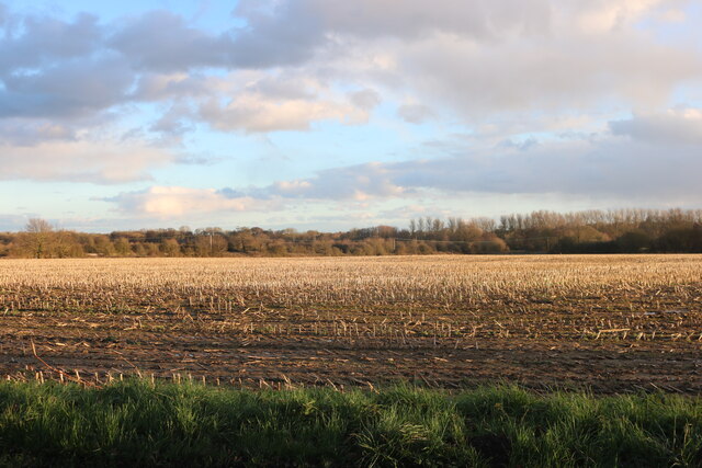
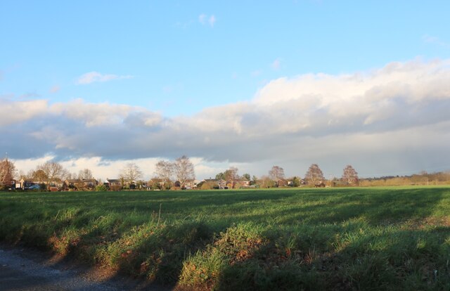
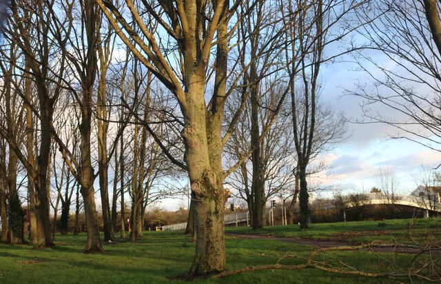
Aldhamhall Wood is a picturesque woodland located in the county of Essex, England. Covering an area of approximately 100 acres, it is situated near the village of Aldham, just a few miles south of the town of Colchester. The wood is part of the larger Aldhamhall Forest, which spans over 300 acres and is a designated Site of Special Scientific Interest (SSSI).
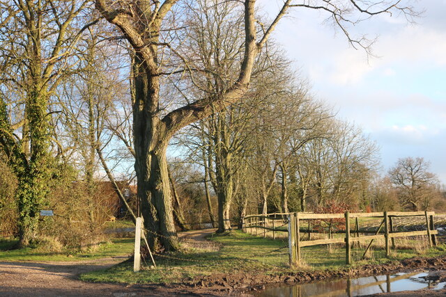
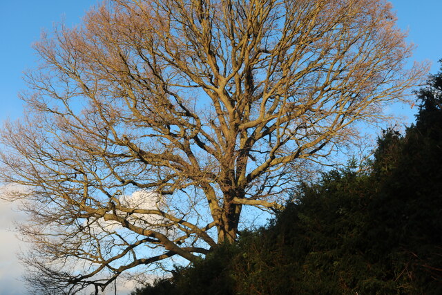
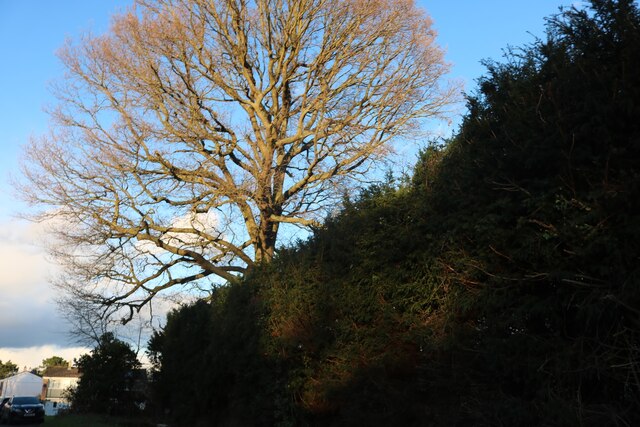
The woodland is characterized by a diverse range of tree species, including oak, beech, birch, and ash, among others. This variety of trees creates a rich and vibrant ecosystem, providing habitats for numerous species of birds, mammals, and insects. The forest floor is adorned with a carpet of wildflowers and ferns, adding to its natural beauty.
Aldhamhall Wood is popular among nature enthusiasts, offering several trails and footpaths that allow visitors to explore the area. There are also designated picnic areas and benches throughout the wood, providing opportunities for relaxation and enjoying the tranquil surroundings. The wood is managed by a local conservation group, which ensures its preservation and promotes its educational value.
In addition to its natural beauty, Aldhamhall Wood also holds historical significance. The remains of an Iron Age hillfort can be found within its boundaries, providing a glimpse into the area's ancient past. Overall, Aldhamhall Wood is a cherished natural gem in Essex, offering a haven for wildlife and a peaceful retreat for visitors seeking to connect with nature.
If you have any feedback on the listing, please let us know in the comments section below.
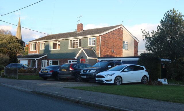
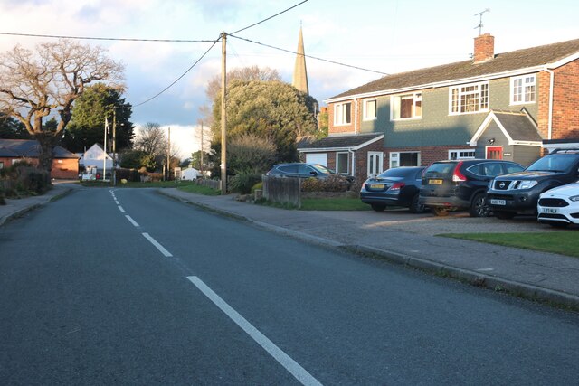
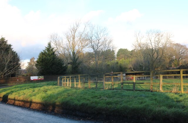
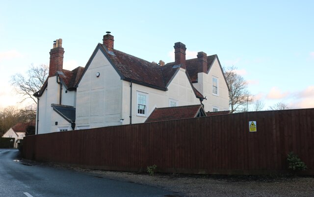
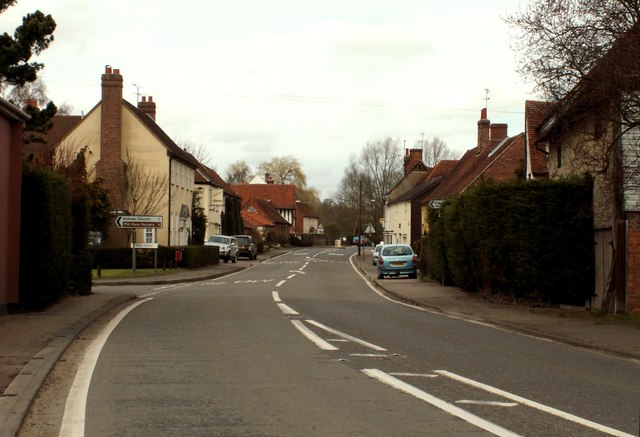
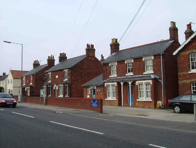
Aldhamhall Wood Images
Images are sourced within 2km of 51.894175/0.79019268 or Grid Reference TL9225. Thanks to Geograph Open Source API. All images are credited.
Aldhamhall Wood is located at Grid Ref: TL9225 (Lat: 51.894175, Lng: 0.79019268)
Administrative County: Essex
District: Colchester
Police Authority: Essex
What 3 Words
///cabinet.film.amphibian. Near Eight Ash Green, Essex
Nearby Locations
Related Wikis

Aldham, Essex
Aldham is a village and civil parish in the City of Colchester district of Essex, England. It is located 4+1⁄2 mi (7.2 km) west of Colchester. The village...
Fordstreet
Fordstreet or Ford Street is a village on the A1124 road, in the civil parish of Aldham in the Colchester district in Essex, England. It is located on...

Marks Tey Brickpit
Marks Tey Brickpit is a 29.5-hectare (73-acre) geological Site of Special Scientific Interest in Marks Tey in Essex. It is a Geological Conservation Review...

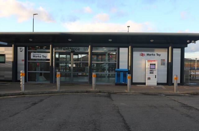
Marks Tey railway station
Marks Tey railway station is on the Great Eastern Main Line (GEML) in the East of England, serving the large village of Marks Tey, Essex. It is 46 miles...
Copford
Copford is a village and civil parish in the City of Colchester district of Essex, England. It is 3 kilometres (2 mi) west of Colchester, and the hamlet...

St Andrew's Church, Marks Tey
St Andrew's Church is a Church of England parish church in the Essex village of Marks Tey. It was Grade I listed in 1965.Its nave was built around 1100...

Fordham Heath
Fordham Heath is a hamlet near the A1124 road, in the Colchester district, in the English county of Essex. It is near the large town of Colchester and...
Stanway, Essex
Stanway is a village and civil parish in Essex, England near Colchester and within Colchester Borough. 'Stanway' is an Anglo-Saxon name for the 'stone...
Related Videos

Homely Hotels: Holiday Inn Colchester
Join us for a tour of Holiday Inn Colchester SUBSCRIBE to Hilltown YouTube Channel! Stay updated on everything! All Holiday ...

Walking: Copford Church
The second part of my walking visit to two local churches features the beautiful Copford Church. This is listed as one of the best ...

Trail Walking: Searching for Spring #1
I pulled a calf muscle and couldn't run. I've been cycling and walking instead. This video, and the next, are just short, fairly local, ...

Trail Walking: An Easy Amble
A gentle 7 mile amble around the local countryside in September. We pause to look inside an 11th century church and follow the ...
Nearby Amenities
Located within 500m of 51.894175,0.79019268Have you been to Aldhamhall Wood?
Leave your review of Aldhamhall Wood below (or comments, questions and feedback).