Victoria Plantation
Wood, Forest in Norfolk Breckland
England
Victoria Plantation
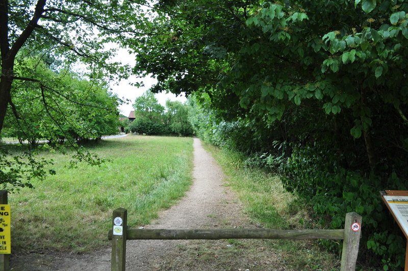
Victoria Plantation is a historically significant property located in Norfolk, England. Situated in the heart of a lush wood and forest area, the plantation covers a vast expanse of land, spanning approximately 500 acres. The plantation is named after Queen Victoria, who owned the property during her reign in the 19th century.
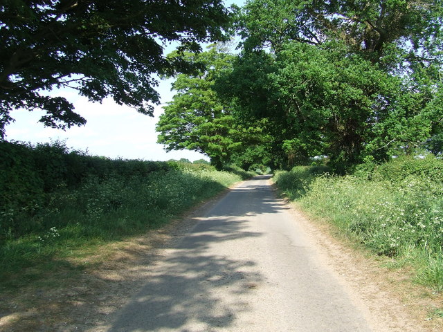
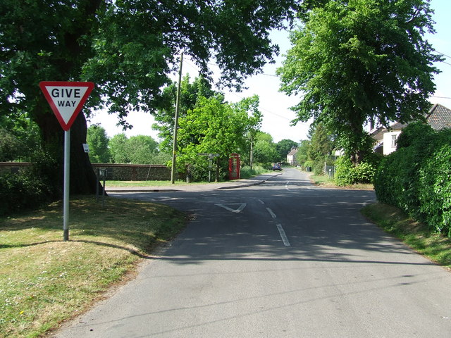
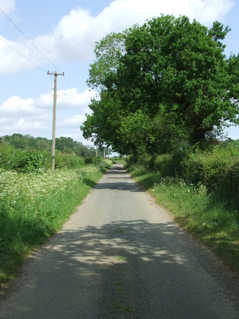
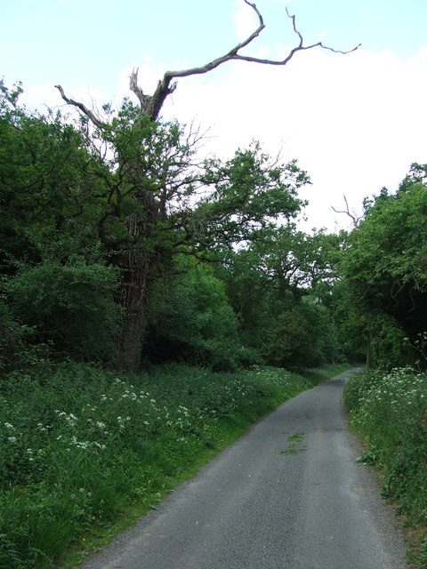
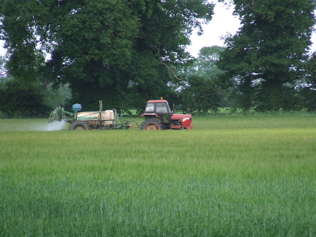
The Wood, Forest area in which Victoria Plantation is situated is known for its scenic beauty and abundant natural resources. The plantation boasts a diverse range of tree species, including oak, beech, and pine trees, creating a picturesque landscape. The forested areas are home to a variety of wildlife, such as deer, foxes, and a plethora of bird species, making it a haven for nature enthusiasts.
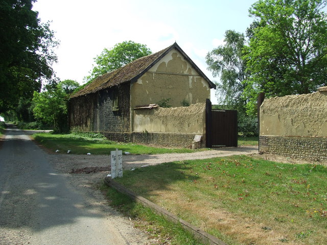
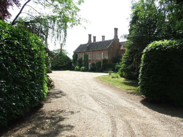
The historical significance of Victoria Plantation adds to its allure. The property dates back to the Victorian era and has been preserved in its original state, showcasing the architecture and design of the time. The main house on the plantation, a majestic Victorian mansion, stands as a testament to the grandeur and opulence of the era. The property also features several outbuildings, including stables and cottages, which have been restored to their former glory.
Victoria Plantation offers visitors the opportunity to explore its grounds through guided tours, enabling them to immerse themselves in the rich history and natural beauty of the area. The plantation also hosts various events, including weddings, corporate functions, and cultural festivals, making it a popular destination for both locals and tourists alike. With its combination of stunning scenery and historical significance, Victoria Plantation is a true gem of Norfolk's Wood, Forest area.
If you have any feedback on the listing, please let us know in the comments section below.
Victoria Plantation Images
Images are sourced within 2km of 52.544966/0.83093689 or Grid Reference TL9297. Thanks to Geograph Open Source API. All images are credited.


Victoria Plantation is located at Grid Ref: TL9297 (Lat: 52.544966, Lng: 0.83093689)
Administrative County: Norfolk
District: Breckland
Police Authority: Norfolk
What 3 Words
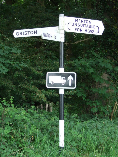
///seasonal.tiling.relishing. Near Watton, Norfolk
Nearby Locations
Related Wikis

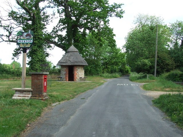
Merton Hall, Norfolk
Merton Hall is a 19th century country house in Merton, Norfolk, England. The extant north-west wing is a Grade II listed building. The 17th-century gatehouse...
Thompson, Norfolk
Thompson is a civil parish in the English county of Norfolk. It covers an area of 9.20 km2 (3.55 sq mi) and including Tottington had a population of 341...
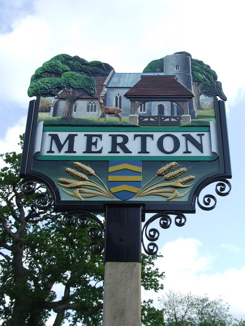
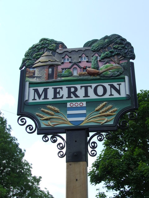
Merton, Norfolk
Merton is a civil parish in the English county of Norfolk. It covers an area of 5.94 km2 (2.29 sq mi) and had a population of 113 in 50 households at the...

Wayland Wood
Wayland Wood is a 31.7-hectare (78-acre) biological Site of Special Scientific Interest near to Watton in Norfolk. It is a Nature Conservation Review...

HM Prison Wayland
HM Prison Wayland is a Category C men's prison, located near the village of Griston in Norfolk, England. The prison is operated by His Majesty's Prison...
Wayland Academy, Watton
Wayland Academy (formerly Wayland Community High School) is a small mixed secondary school located in Watton in the English county of Norfolk. It is part...
Stow Bedon railway station
Stow Bedon railway station is a closed station in Stow Bedon, Norfolk. It was initially opened in 1869 by the Great Eastern Railway network and became...

Watton railway station
Watton railway station was located in Watton, Norfolk. It was on the Great Eastern Railway line between Swaffham and Thetford, and closed for passengers...
Nearby Amenities
Located within 500m of 52.544966,0.83093689Have you been to Victoria Plantation?
Leave your review of Victoria Plantation below (or comments, questions and feedback).