Great Furze Plantation
Wood, Forest in Suffolk West Suffolk
England
Great Furze Plantation
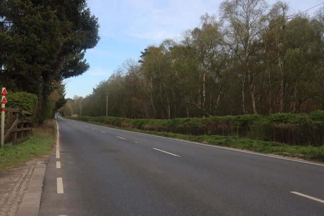
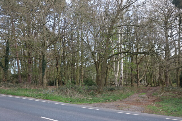
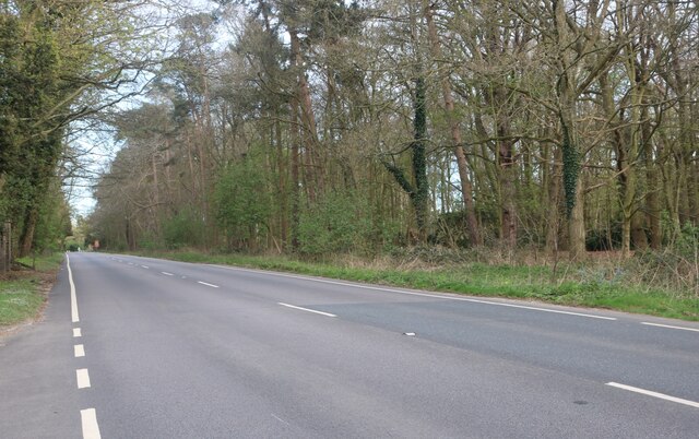
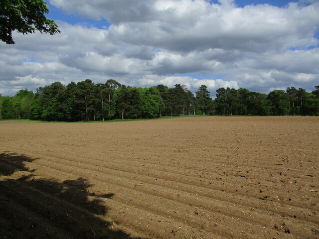
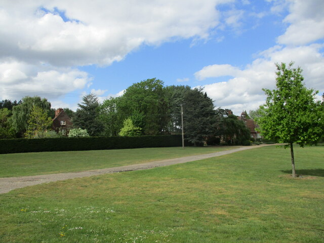
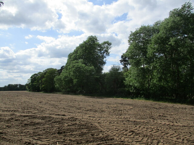
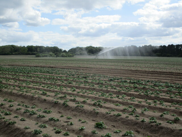
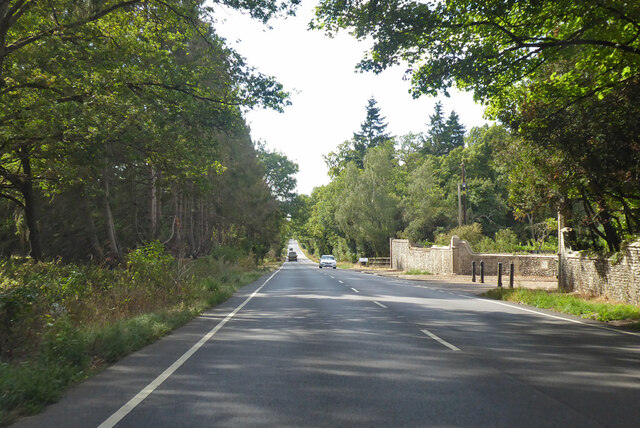
Great Furze Plantation is a sprawling woodland located in Suffolk, England. Covering an area of approximately 500 acres, it is known for its diverse range of tree species and abundant wildlife. The plantation is primarily composed of deciduous trees, including oak, beech, and birch, which create a stunning and ever-changing landscape throughout the seasons.
The woodland is characterized by its dense undergrowth, consisting of ferns, brambles, and bluebells, adding to its natural beauty. This thick vegetation provides a suitable habitat for a variety of wildlife, including deer, foxes, rabbits, and a wide array of bird species, making it a popular destination for nature enthusiasts and birdwatchers.
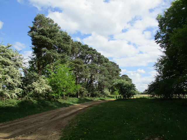
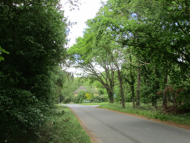
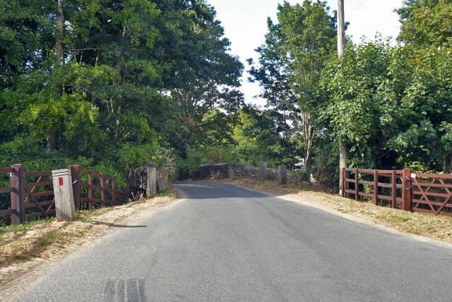
Great Furze Plantation is crisscrossed by a network of well-maintained walking trails, allowing visitors to explore the area at their own pace. These trails provide access to different parts of the woodland, each offering a unique experience. Whether it's a leisurely stroll through the peaceful forest, a challenging hike up the sloping hills, or a picnic in one of the designated areas, there is something for everyone to enjoy.
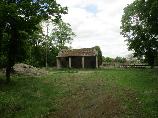
The plantation is also home to a small lake, which attracts a variety of aquatic birds and provides a tranquil spot for visitors to relax and enjoy the peaceful surroundings. Additionally, there are several designated camping areas within the woodland, allowing visitors to extend their stay and immerse themselves in the natural beauty of the area.
Great Furze Plantation is a true gem in the Suffolk countryside, offering a peaceful escape from the hustle and bustle of everyday life and providing a haven for both nature lovers and those seeking a serene outdoor experience.
If you have any feedback on the listing, please let us know in the comments section below.
Great Furze Plantation Images
Images are sourced within 2km of 52.389141/0.81918675 or Grid Reference TL9180. Thanks to Geograph Open Source API. All images are credited.


Great Furze Plantation is located at Grid Ref: TL9180 (Lat: 52.389141, Lng: 0.81918675)
Administrative County: Suffolk
District: West Suffolk
Police Authority: Suffolk
What 3 Words
///adjusting.playroom.bracelet. Near Thetford, Norfolk
Nearby Locations
Related Wikis

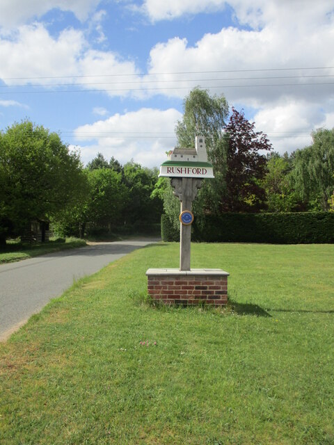
Rushford, Norfolk
Rushford is a small village in the civil parish of Brettenham, in the Breckland district, in the county of Norfolk, England. It is situated on the north...

Shadwell Court
Shadwell Court, Brettenham, Norfolk, England is a country house dating originally from the 18th century. Built for the Buxton baronets, the house was massively...

Euston, Suffolk
Euston is a village and civil parish in the West Suffolk district of Suffolk in eastern England. Located on the A1088 around two miles south of Thetford...

Euston Hall
Euston Hall is a country house, with park by William Kent and Capability Brown, located in Euston, a small village in Suffolk located just south of Thetford...

Knettishall Heath
Knettishall Heath is a 91.7-hectare (227-acre) biological Site of Special Scientific Interest west of Knettishall in Suffolk. A larger area of 176 hectares...

Iceni Way
The Iceni Way is a collective name for several long-distance footpaths running from Knettishall Heath to Hunstanton via the Little Ouse and Great Ouse...

Fakenham Wood and Sapiston Great Grove
Fakenham Wood and Sapiston Great Grove is a 200.7-hectare (496-acre) biological Site of Special Scientific Interest north of Sapiston in Suffolk.These...

Brettenham, Norfolk
Brettenham is a village and civil parish in the English county of Norfolk. It covers an area of 26.37 km2 (10.18 sq mi) and had a population of 475 in...
Nearby Amenities
Located within 500m of 52.389141,0.81918675Have you been to Great Furze Plantation?
Leave your review of Great Furze Plantation below (or comments, questions and feedback).