Chensil Grove
Wood, Forest in Suffolk West Suffolk
England
Chensil Grove
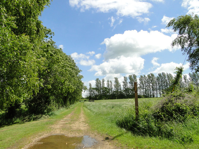
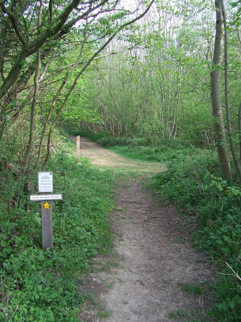
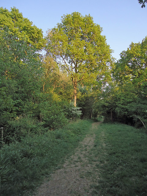
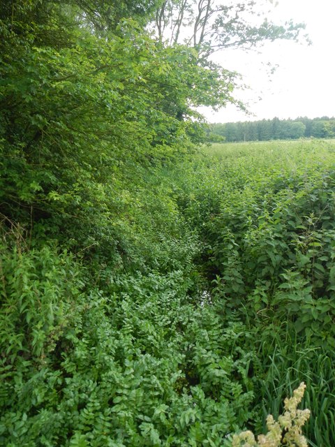
Chensil Grove, located in Suffolk, England, is a picturesque woodland area known for its natural beauty and tranquil atmosphere. Covering an area of approximately 300 acres, this enchanting forest is a haven for nature lovers and outdoor enthusiasts.
The grove is characterized by its dense canopy of trees, primarily consisting of native deciduous species such as oak, beech, and birch. The foliage creates a captivating tapestry of colors throughout the seasons, with vibrant greens in spring and summer transitioning to warm hues of red, orange, and gold in autumn.
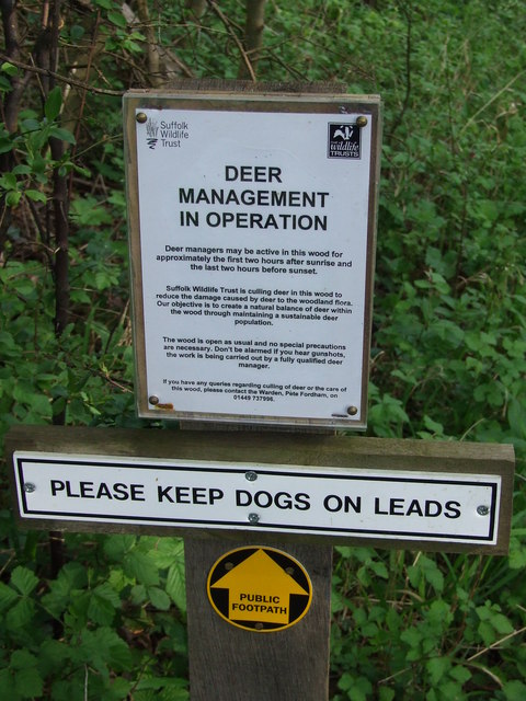
Wandering through Chensil Grove, visitors can meander along well-maintained trails that wind through the woodland, providing an opportunity to immerse themselves in the peacefulness of nature. The forest floor is carpeted with a rich assortment of wildflowers, ferns, and mosses, attracting an array of wildlife including deer, squirrels, and various bird species.
The grove is also home to a diverse range of plant life, with patches of bluebells in the spring and clusters of wild mushrooms in the autumn. The presence of a small stream running through the forest adds to the overall charm, providing a soothing soundtrack of babbling water.
Chensil Grove offers a serene retreat from the hustle and bustle of everyday life, inviting visitors to engage in activities such as hiking, picnicking, or simply finding solace in the natural surroundings. Its idyllic setting and diverse ecosystem make it a treasured gem within Suffolk, attracting locals and tourists alike.
If you have any feedback on the listing, please let us know in the comments section below.
Chensil Grove Images
Images are sourced within 2km of 52.190856/0.80593113 or Grid Reference TL9158. Thanks to Geograph Open Source API. All images are credited.


Chensil Grove is located at Grid Ref: TL9158 (Lat: 52.190856, Lng: 0.80593113)
Administrative County: Suffolk
District: West Suffolk
Police Authority: Suffolk
What 3 Words
///wacky.blocks.yield. Near Woolpit, Suffolk
Nearby Locations
Related Wikis

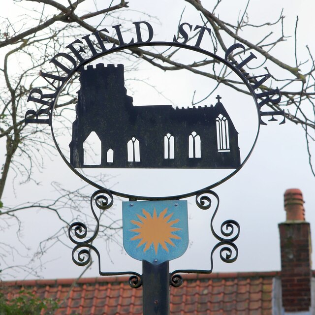
Church of St Clare, Bradfield
The Church of St Clare, Bradfield is the Anglican parish church of Bradfield St Clare, in the district of West Suffolk, Suffolk. The original structure...

St Margaret's Church, Westhorpe
St Margaret's Church is the parish church of Westhorpe, Suffolk, England. It is part of the Badwell and Walsham Benefice. It is a Grade I listed building...
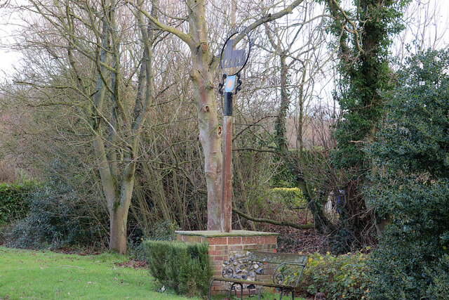
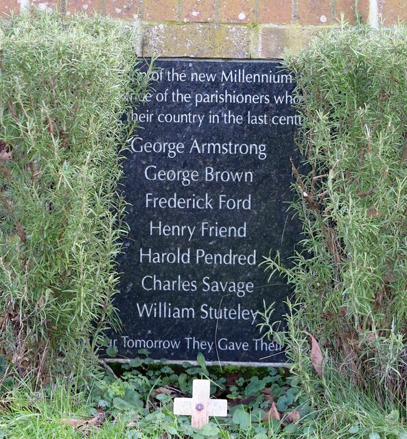
Bradfield St Clare
Bradfield St. Clare is a village and civil parish in the West Suffolk district of Suffolk, England. According to Eilert Ekwall, the meaning of the village...

Bradfield Woods
Bradfield Woods is an 81.4-hectare (201-acre) biological Site of Special Scientific Interest between Bury St Edmunds and Stowmarket in Suffolk. The site...

Bradfield St George
Bradfield St. George is a village and civil parish in the West Suffolk district of Suffolk, England, about 6 miles (9.7 km) south of Bury St Edmunds. According...

Welnetham railway station
Welnetham railway station was on the Long Melford-Bury St Edmunds branch line, serving Great Whelnetham, Little Whelnetham and Sicklesmere in Suffolk....
Bradfield Combust
Bradfield Combust (or Burnt Bradfield) is a village and former manor and civil parish, now in the parish of Bradfield Combust with Stanningfield, the West...

Felsham
Felsham is a village and civil parish in the Mid Suffolk district of Suffolk in eastern England. In 2005 its population was 420. == History == The origin...
Nearby Amenities
Located within 500m of 52.190856,0.80593113Have you been to Chensil Grove?
Leave your review of Chensil Grove below (or comments, questions and feedback).