Waterpit Plantation

Wood, Forest in Norfolk Breckland

England

Waterpit Plantation

Looking west-southwest at Broom Covert (on the Peddars Way)
Looking west-southwest at Broom Covert Credit: Basher Eyre

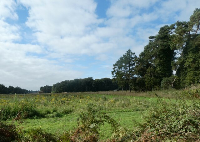
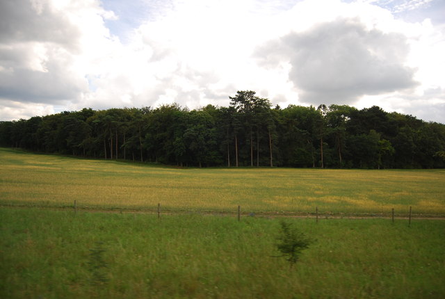
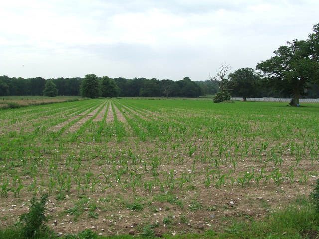
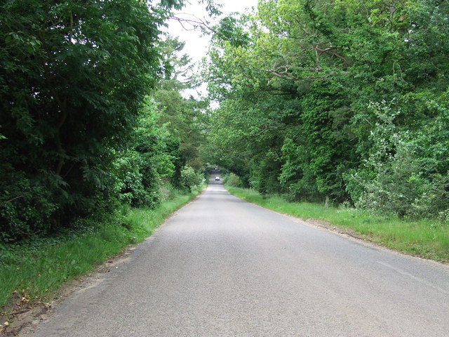
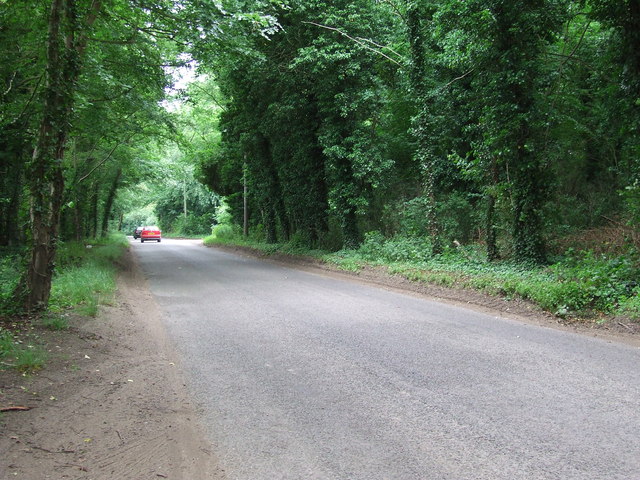
Waterpit Plantation is a picturesque woodland located in Norfolk, England. Spread over an area of approximately 500 acres, it is renowned for its natural beauty and diverse ecosystem. The plantation primarily consists of a mix of coniferous and deciduous trees, creating a stunning landscape that changes dramatically with the seasons.

The woodland is home to a variety of plant and animal species, making it an important habitat for wildlife conservation. Native species such as oak, beech, and birch can be found here, providing shelter and food for numerous birds, mammals, and insects. The plantation is particularly known for its vibrant bird population, attracting birdwatchers from far and wide. Species such as the great spotted woodpecker, tawny owl, and nuthatch can often be spotted amidst the trees.

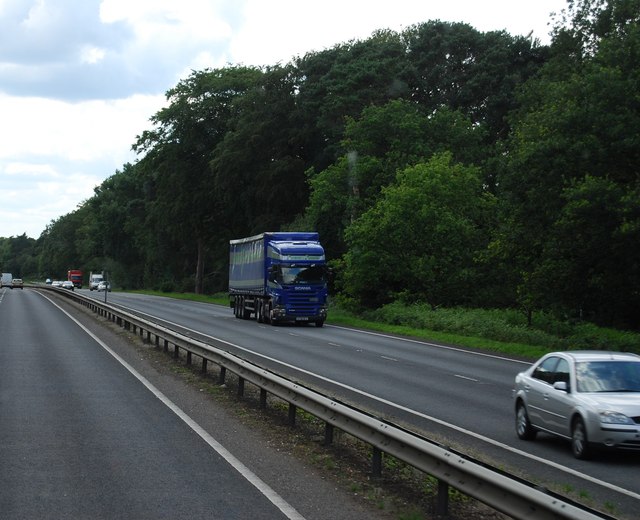
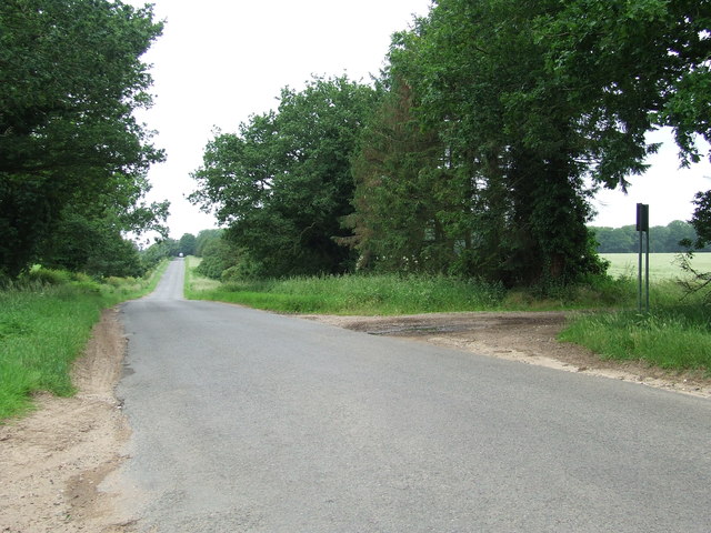
Waterpit Plantation also offers a range of recreational activities for visitors. There are several well-maintained walking trails that allow visitors to explore the woodland at their own pace. These trails provide an opportunity to immerse oneself in nature, observe wildlife up close, and enjoy the tranquility of the surroundings. The plantation also boasts a picnic area, where visitors can relax and enjoy a meal amidst the natural beauty of the woodland.

Overall, Waterpit Plantation is a captivating destination that offers a perfect blend of natural beauty and recreational opportunities. Whether one is looking to admire the diverse flora and fauna, engage in outdoor activities, or simply unwind in a peaceful environment, this woodland is a must-visit location in Norfolk.

If you have any feedback on the listing, please let us know in the comments section below.

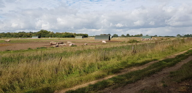
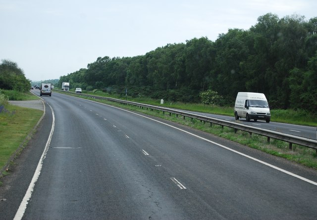
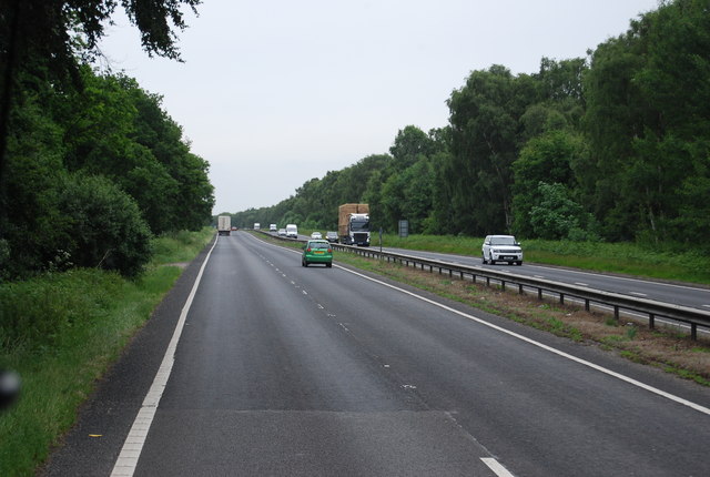
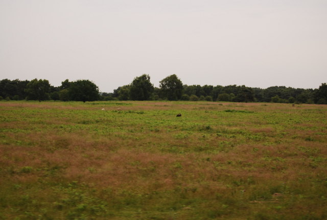
Waterpit Plantation Images

Images are sourced within 2km of 52.42455/0.81975488 or Grid Reference TL9184. Thanks to Geograph Open Source API. All images are credited.

Looking west-southwest at Broom Covert (on the Peddars Way)
Looking west-southwest at Broom Covert
(on the Peddars Way)
Pigs near Broom Covert
Brettenham, St Andrew
A11 towards London
A11 towards London
The A11 The A11 is a major road in Eastern England. It runs roughly north east for 111 miles from London to Norwich, With the M11 opening in the 1970s and then the A12 extension in 1999, a lengthy section has been downgraded between the suburbs of east London and the north-west corner of the county of Essex. It also overlaps with the A14 on the Newmarket bypass.
<span class="nowrap"><a title="http://www.sabre-roads.org.uk/wiki/index.php?title=A11" rel="nofollow ugc noopener" href="http://www.sabre-roads.org.uk/wiki/index.php?title=A11">Link</a><img style="margin-left:2px;" alt="External link" title="External link - shift click to open in new window" src="https://s1.geograph.org.uk/img/external.png" width="10" height="10"/></span>
The A11
The A11 is a major road in Eastern England. It runs roughly north east for 111 miles from London to Norwich, With the M11 opening in the 1970s and then the A12 extension in 1999, a lengthy section has been downgraded between the suburbs of east London and the north-west corner of the county of Essex. It also overlaps with the A14 on the Newmarket bypass. LinkExternal link
Milestone Plantation
Field Field off Kilverstone Road near to Brettenham, Norfolk.
Field
Field off Kilverstone Road near to Brettenham, Norfolk.
Country Road Country road looking east near to Brettenham, Norfolk.
Country Road
Country road looking east near to Brettenham, Norfolk.
Minor Road Country road near to Brettenham, Norfolk.
Minor Road
Country road near to Brettenham, Norfolk.
Tree Lined Road Tree lined road near to Thetford, Norfolk.
Tree Lined Road
Tree lined road near to Thetford, Norfolk.
The A11
The A11
The A11 The A11 is a major road in Eastern England. It runs roughly north east for 111 miles from London to Norwich, With the M11 opening in the 1970s and then the A12 extension in 1999, a lengthy section has been downgraded between the suburbs of east London and the north-west corner of the county of Essex. It also overlaps with the A14 on the Newmarket bypass.
<span class="nowrap"><a title="http://www.sabre-roads.org.uk/wiki/index.php?title=A11" rel="nofollow ugc noopener" href="http://www.sabre-roads.org.uk/wiki/index.php?title=A11">Link</a><img style="margin-left:2px;" alt="External link" title="External link - shift click to open in new window" src="https://s1.geograph.org.uk/img/external.png" width="10" height="10"/></span>
The A11
The A11 is a major road in Eastern England. It runs roughly north east for 111 miles from London to Norwich, With the M11 opening in the 1970s and then the A12 extension in 1999, a lengthy section has been downgraded between the suburbs of east London and the north-west corner of the county of Essex. It also overlaps with the A14 on the Newmarket bypass. LinkExternal link
A11 The A11 is a major road in Eastern England. It runs roughly north east for 111 miles from London to Norwich, With the M11 opening in the 1970s and then the A12 extension in 1999, a lengthy section has been downgraded between the suburbs of east London and the north-west corner of the county of Essex. It also overlaps with the A14 on the Newmarket bypass.
<span class="nowrap"><a title="http://www.sabre-roads.org.uk/wiki/index.php?title=A11" rel="nofollow ugc noopener" href="http://www.sabre-roads.org.uk/wiki/index.php?title=A11">Link</a><img style="margin-left:2px;" alt="External link" title="External link - shift click to open in new window" src="https://s1.geograph.org.uk/img/external.png" width="10" height="10"/></span>
A11
The A11 is a major road in Eastern England. It runs roughly north east for 111 miles from London to Norwich, With the M11 opening in the 1970s and then the A12 extension in 1999, a lengthy section has been downgraded between the suburbs of east London and the north-west corner of the county of Essex. It also overlaps with the A14 on the Newmarket bypass. LinkExternal link
Bridgham Heath
Bridgham Heath
A11, Bridgham Heath The A11 is a major road in Eastern England. It runs roughly north east for 111 miles from London to Norwich, With the M11 opening in the 1970s and then the A12 extension in 1999, a lengthy section has been downgraded between the suburbs of east London and the north-west corner of the county of Essex. It also overlaps with the A14 on the Newmarket bypass.
<span class="nowrap"><a title="http://www.sabre-roads.org.uk/wiki/index.php?title=A11" rel="nofollow ugc noopener" href="http://www.sabre-roads.org.uk/wiki/index.php?title=A11">Link</a><img style="margin-left:2px;" alt="External link" title="External link - shift click to open in new window" src="https://s1.geograph.org.uk/img/external.png" width="10" height="10"/></span>
A11, Bridgham Heath
The A11 is a major road in Eastern England. It runs roughly north east for 111 miles from London to Norwich, With the M11 opening in the 1970s and then the A12 extension in 1999, a lengthy section has been downgraded between the suburbs of east London and the north-west corner of the county of Essex. It also overlaps with the A14 on the Newmarket bypass. LinkExternal link
A11, southbound The A11 is a major road in Eastern England. It runs roughly north east for 111 miles from London to Norwich, With the M11 opening in the 1970s and then the A12 extension in 1999, a lengthy section has been downgraded between the suburbs of east London and the north-west corner of the county of Essex. It also overlaps with the A14 on the Newmarket bypass.
<span class="nowrap"><a title="http://www.sabre-roads.org.uk/wiki/index.php?title=A11" rel="nofollow ugc noopener" href="http://www.sabre-roads.org.uk/wiki/index.php?title=A11">Link</a><img style="margin-left:2px;" alt="External link" title="External link - shift click to open in new window" src="https://s1.geograph.org.uk/img/external.png" width="10" height="10"/></span>
A11, southbound
The A11 is a major road in Eastern England. It runs roughly north east for 111 miles from London to Norwich, With the M11 opening in the 1970s and then the A12 extension in 1999, a lengthy section has been downgraded between the suburbs of east London and the north-west corner of the county of Essex. It also overlaps with the A14 on the Newmarket bypass. LinkExternal link
The bridge over River Thet This is a view just south of Brettenham parish church.
The bridge over River Thet
This is a view just south of Brettenham parish church.
Show me another place!

Waterpit Plantation is located at Grid Ref: TL9184 (Lat: 52.42455, Lng: 0.81975488)

Administrative County: Norfolk

District: Breckland

Police Authority: Norfolk

What 3 Words

///units.ramming.tributes. Near Thetford, Norfolk

Related Wikis

Shadwell Court

Shadwell Court, Brettenham, Norfolk, England is a country house dating originally from the 18th century. Built for the Buxton baronets, the house was massively...

Brettenham, Norfolk

Brettenham is a village and civil parish in the English county of Norfolk. It covers an area of 26.37 km2 (10.18 sq mi) and had a population of 475 in...

Bridgham and Brettenham Heaths

Bridgham and Brettenham Heaths is a 439.9-hectare (1,087-acre) biological Site of Special Scientific Interest north-east of Thetford in Norfolk, England...

Kilverstone Hall

Kilverstone Hall is a Grade II listed building in Kilverstone in Norfolk, England. == History == Kilverstone Hall is a country house built in the early...

Kilverstone

Kilverstone is a civil parish in the English county of Norfolk east of Thetford. It covers an area of 7.46 km2 (2.88 sq mi) and had a population of 60...

Bridgham

Bridgham is a village and civil parish in the English county of Norfolk. It covers an area of 11.06 km2 (4.27 sq mi) and had a population of 328 in 130...

Rushford, Norfolk

Rushford is a small village in the civil parish of Brettenham, in the Breckland district, in the county of Norfolk, England. It is situated on the north...

Roudham Junction railway station

Roudham Junction railway station was a station in Norfolk, England. It was located in a remote area east of Thetford, where the Main Line between Norwich...

Have you been to Waterpit Plantation?

Leave your review of Waterpit Plantation below (or comments, questions and feedback).