Beatbush Wood
Wood, Forest in Essex Maldon
England
Beatbush Wood
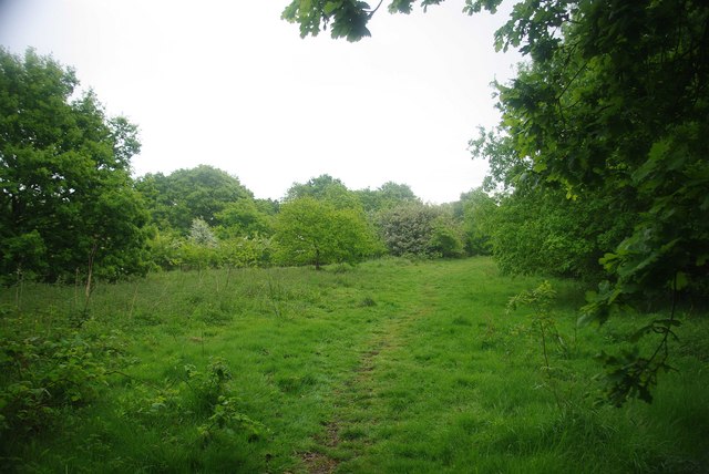
Beatbush Wood is a picturesque woodland located in the county of Essex, England. Situated near the village of Matching Tye, this serene forest spans an area of approximately 100 acres. The wood is a part of the larger Epping Forest District and is a popular destination for nature enthusiasts, hikers, and wildlife lovers.
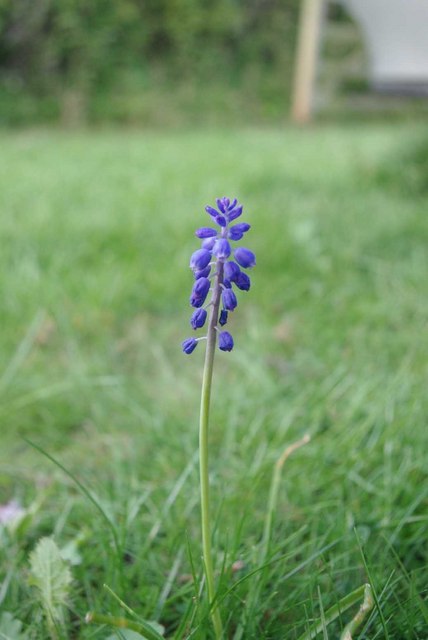
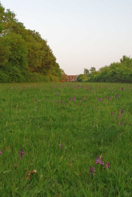
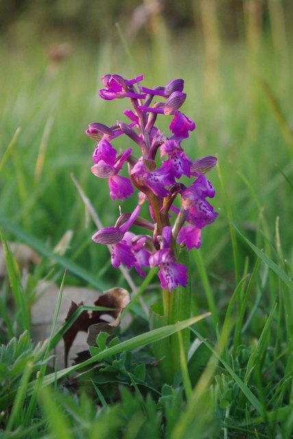
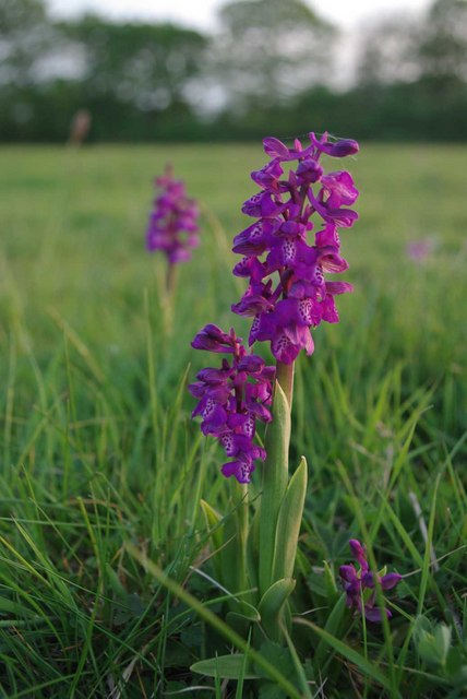
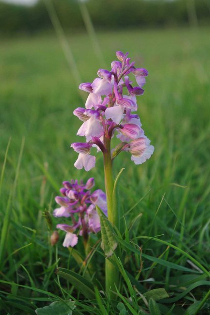
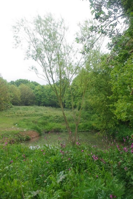
The woodland is characterized by its diverse range of tree species, including oak, birch, beech, and chestnut, which contribute to its vibrant and colorful setting throughout the seasons. The forest floor is carpeted with an array of wildflowers and ferns, creating a beautiful and enchanting atmosphere.
Beatbush Wood is home to a rich variety of wildlife, providing a habitat for numerous species. Visitors may have the opportunity to spot birds such as woodpeckers, owls, and various songbirds, as well as mammals like foxes, squirrels, and deer. The wood is also home to a diverse array of insects, including butterflies and dragonflies.
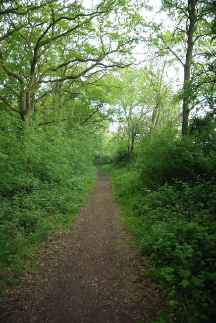
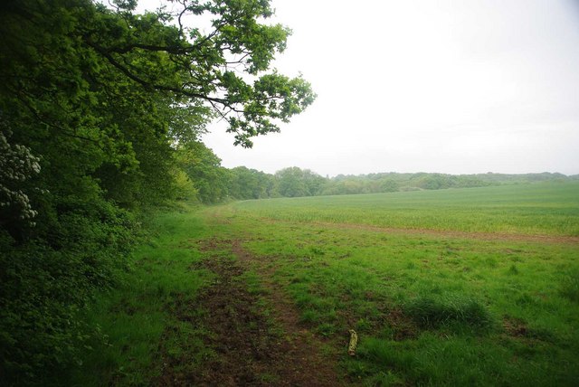
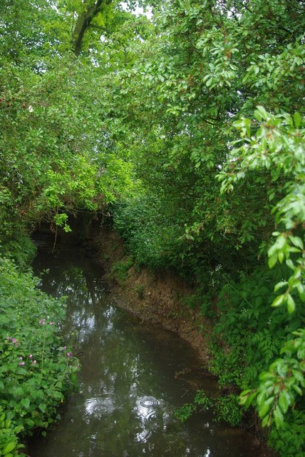
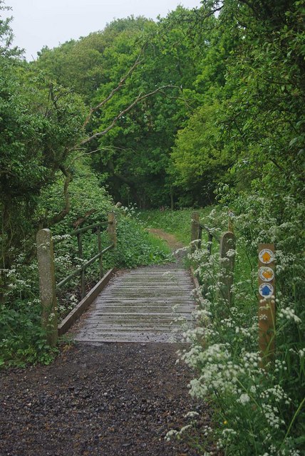
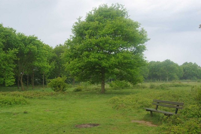
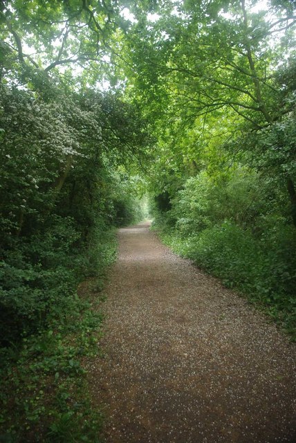
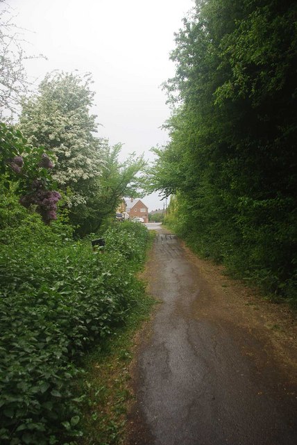
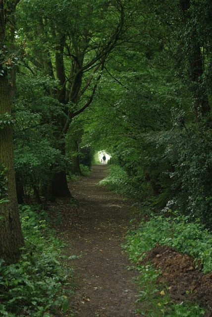
The wood offers several walking trails, allowing visitors to explore its natural beauty at their own pace. These trails wind through the forest, providing glimpses of stunning vistas, tranquil streams, and secluded clearings. There are also picnic areas within the wood, providing a perfect spot for visitors to relax and enjoy the peaceful surroundings.
Beatbush Wood offers a serene and immersive experience for those seeking solace in nature. With its diverse flora and fauna, charming trails, and peaceful ambiance, it is a haven for anyone looking to escape the hustle and bustle of everyday life.
If you have any feedback on the listing, please let us know in the comments section below.
Beatbush Wood Images
Images are sourced within 2km of 51.804434/0.78013357 or Grid Reference TL9115. Thanks to Geograph Open Source API. All images are credited.


Beatbush Wood is located at Grid Ref: TL9115 (Lat: 51.804434, Lng: 0.78013357)
Administrative County: Essex
District: Maldon
Police Authority: Essex
What 3 Words
///reckon.horn.standards. Near Tolleshunt Knights, Essex
Nearby Locations
Related Wikis
Tolleshunt Knights
Tolleshunt Knights is a village and civil parish in the English county of Essex. The Parish has a Parish council, and lies within the area of Maldon District...
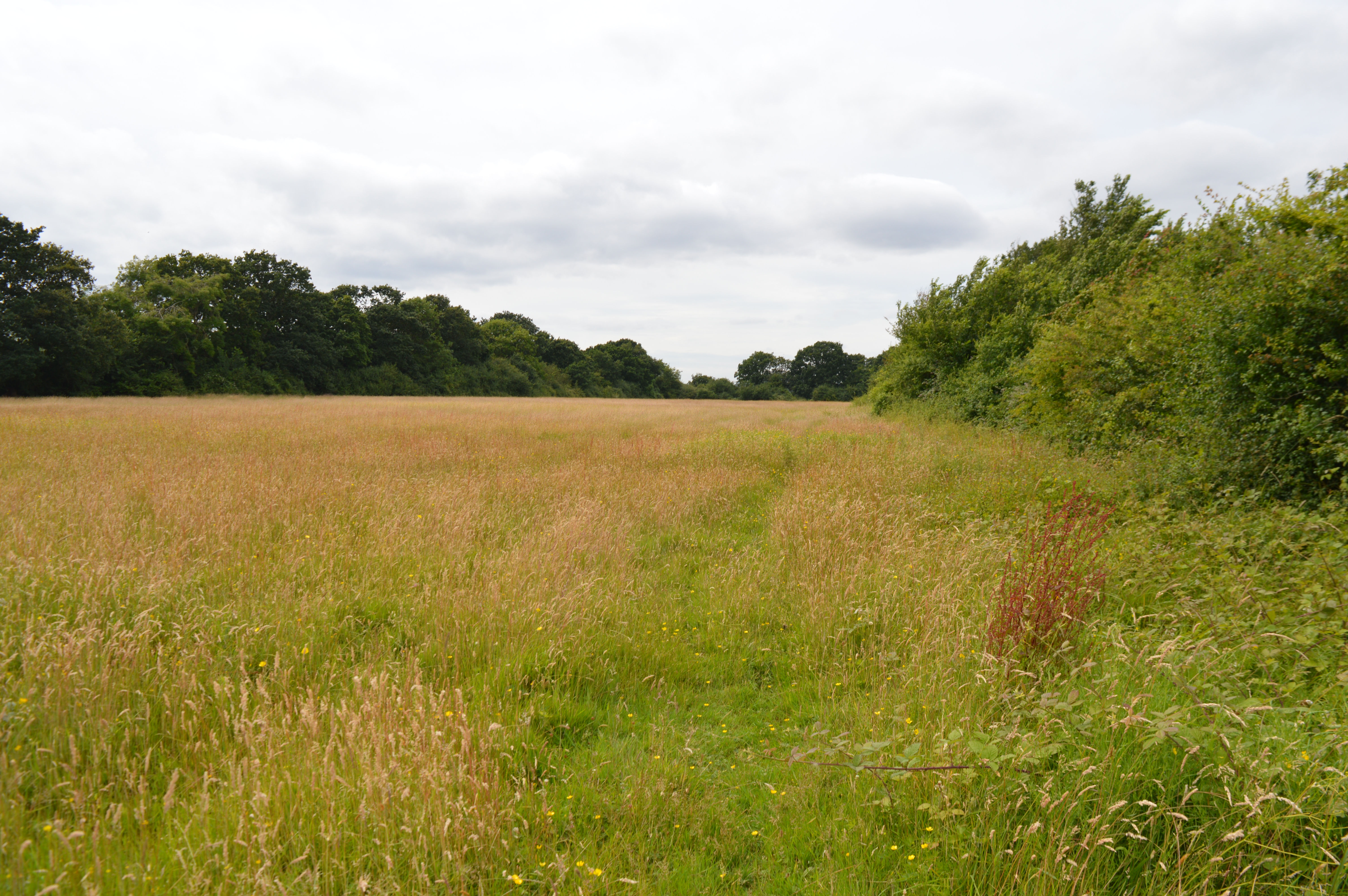
Oxley Meadow
Oxley Meadow is a 3.2-hectare (7.9-acre) nature reserve in Tolleshunt Knights, near Tiptree in Essex. It is managed by the Essex Wildlife Trust.The site...

Kelvedon and Tollesbury Light Railway
The Kelvedon and Tollesbury Light Railway was a locally promoted railway company, intended to open up an agricultural district that suffered from poor...

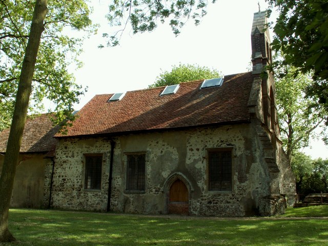
Patriarchal Stavropegic Monastery of St John the Baptist
The Patriarchal Stavropegic Monastery of St John the Baptist is a monastic community for both men and women, directly under the Ecumenical Patriarchate...

Tolleshunt Knights railway station
Tolleshunt Knights railway station was on the Kelvedon and Tollesbury Light Railway, serving the village of Tolleshunt Knights, Essex. The station was...
Oxley Green
Oxley Green is a hamlet on the B1023 road, in between the villages of Tiptree and Tolleshunt D'Arcy, in the Maldon District of Essex. == References... ==
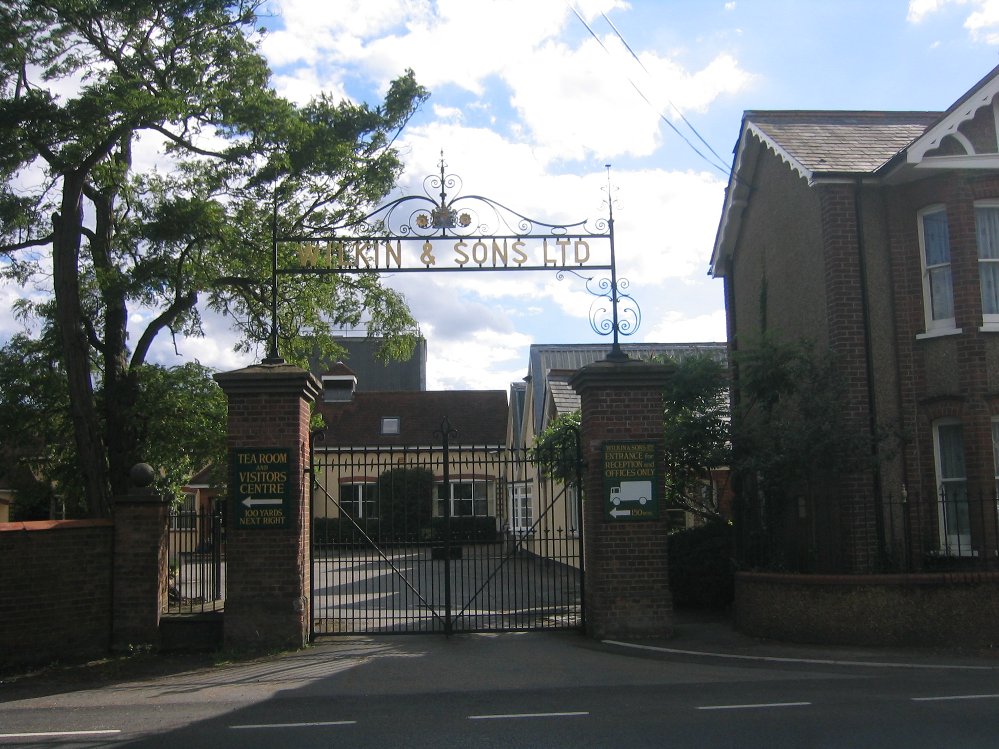
Wilkin & Sons
Wilkin & Sons Limited is a manufacturer of preserves, marmalades and associated products established in Tiptree, Essex, England in 1885, and known for...

Layer Marney
Layer Marney is a village and civil parish in the City of Colchester district of Essex, England, near Tiptree. Layer Marney has a Tudor palace called Layer...
Nearby Amenities
Located within 500m of 51.804434,0.78013357Have you been to Beatbush Wood?
Leave your review of Beatbush Wood below (or comments, questions and feedback).