Breckles Belt
Wood, Forest in Norfolk Breckland
England
Breckles Belt
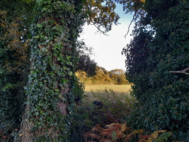
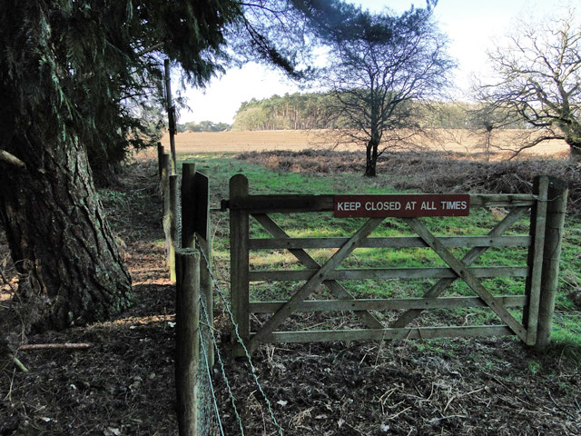
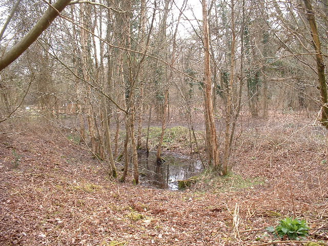
Breckles Belt, located in Norfolk, England, is a small but significant woodland area known for its natural beauty and rich biodiversity. Covering an area of approximately 200 acres, this forested region is a cherished part of the local landscape.
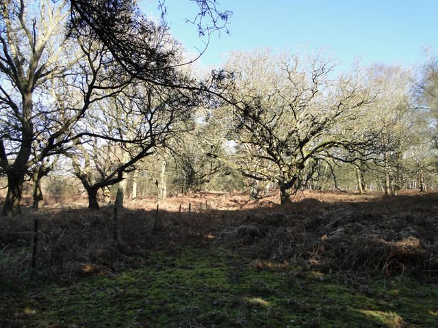
The woodland is predominantly made up of native broadleaf trees, including oak, ash, beech, and birch. These trees provide a dense canopy that filters sunlight, creating a cool and shady environment. Beneath the canopy, an array of wildflowers, ferns, and mosses flourish, adding vibrant colors and textures to the forest floor.
Breckles Belt is home to a diverse range of wildlife. The forest provides a sanctuary for numerous bird species, including woodpeckers, tawny owls, and warblers. Mammals such as foxes, badgers, and deer also inhabit the area, making it an ideal spot for nature enthusiasts and wildlife photographers.
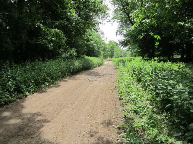
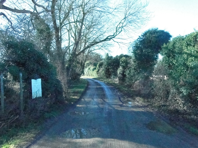
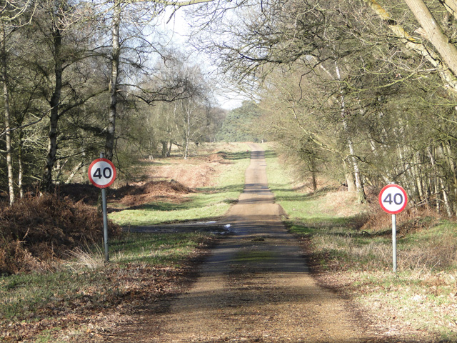
Visitors to Breckles Belt can enjoy various recreational activities, such as walking, hiking, and birdwatching. There are several well-maintained trails that wind through the woodland, allowing visitors to explore its hidden gems. The forest also offers a peaceful setting for picnics and nature appreciation.
Efforts have been made to preserve and protect Breckles Belt's natural environment. Local conservation groups work tirelessly to maintain the woodland's delicate balance and promote sustainable practices. This dedication ensures that future generations can continue to enjoy the beauty and tranquility of this precious Norfolk woodland.
If you have any feedback on the listing, please let us know in the comments section below.
Breckles Belt Images
Images are sourced within 2km of 52.510504/0.82388602 or Grid Reference TL9194. Thanks to Geograph Open Source API. All images are credited.


Breckles Belt is located at Grid Ref: TL9194 (Lat: 52.510504, Lng: 0.82388602)
Administrative County: Norfolk
District: Breckland
Police Authority: Norfolk
What 3 Words
///dated.teeth.blogs. Near Griston, Norfolk
Nearby Locations
Related Wikis

Great Eastern Pingo Trail
Great Eastern Pingo Trail is 9.2 kilometres (5.7 miles) long footpath along a disused railway line north of Thetford in Norfolk. It is a 4.2-hectare...

Thompson Water, Carr and Common
Thompson Water, Carr and Common is a 154.7-hectare (382-acre) biological Site of Special Scientific Interest north of Thetford in Norfolk. Most of it is...

Cranberry Rough, Hockham
Cranberry Rough is an 81.1-hectare (200-acre) biological and geological Site of Special Scientific Interest in the parish of Hockham, east of Attleborough...

Wretham Park Meres
Wretham Park Meres is a 30-hectare (74-acre) biological Site of Special Scientific Interest north of Thetford in Norfolk. This site consists of four natural...
Nearby Amenities
Located within 500m of 52.510504,0.82388602Have you been to Breckles Belt?
Leave your review of Breckles Belt below (or comments, questions and feedback).