Alstrop Wood

Wood, Forest in Suffolk Babergh

England

Alstrop Wood

Sudbury Road, Newton
Sudbury Road, Newton Credit: David Howard

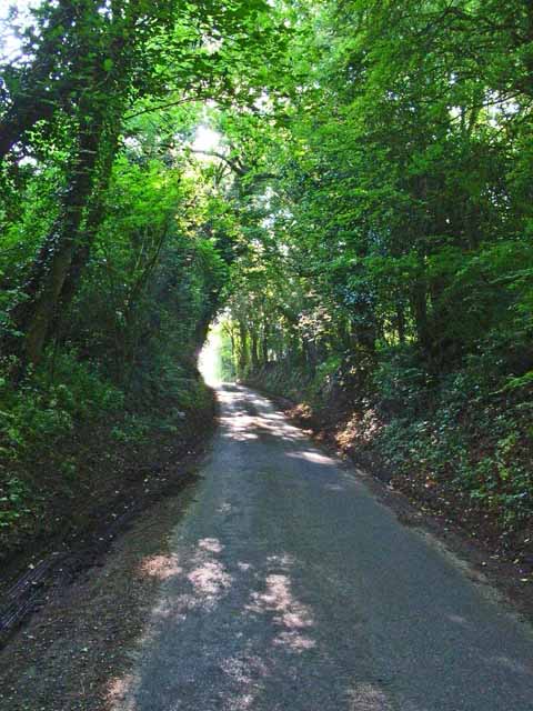
Alstrop Wood is a picturesque woodland located in Suffolk, England. Covering an area of approximately 50 acres, this ancient forest is nestled within the scenic countryside, offering visitors a serene and tranquil escape from the hustle and bustle of everyday life.

The wood is predominantly composed of broadleaf trees, such as oak, beech, and ash, which create a dense canopy overhead, casting dappled shadows on the forest floor. These majestic trees provide a habitat for a wide variety of flora and fauna, making Alstrop Wood a haven for nature enthusiasts and wildlife lovers.

As visitors explore the woodland, they will find a network of well-maintained footpaths that wind through the trees, allowing for leisurely strolls and peaceful contemplation. The paths are lined with wildflowers, adding pops of color to the greenery and creating a charming atmosphere.

Alstrop Wood is also home to a diverse range of wildlife. Birdwatchers can spot a multitude of species, including woodpeckers, nuthatches, and tawny owls. Squirrels scamper through the branches, while deer can occasionally be glimpsed grazing in clearings.

The wood offers a tranquil and serene setting for a range of recreational activities. From nature walks and birdwatching to photography and picnicking, Alstrop Wood provides ample opportunities for visitors to connect with nature and enjoy its beauty.

Overall, Alstrop Wood in Suffolk is a captivating woodland that showcases the natural splendor of the English countryside. With its diverse flora and fauna, well-maintained paths, and peaceful ambiance, it is a destination that is sure to delight nature enthusiasts and provide a welcome retreat from the outside world.

If you have any feedback on the listing, please let us know in the comments section below.
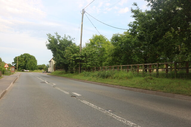
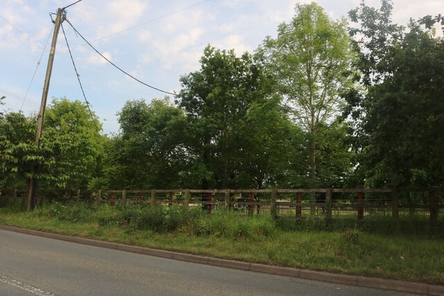
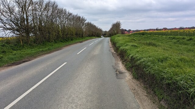
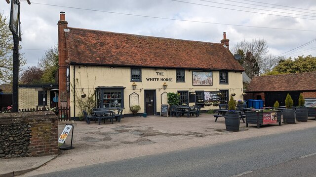
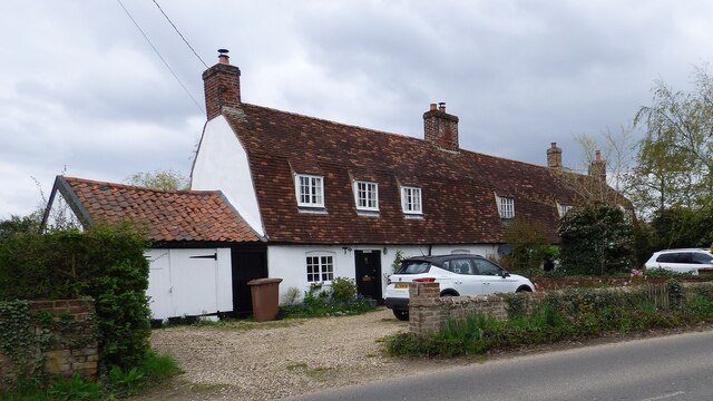
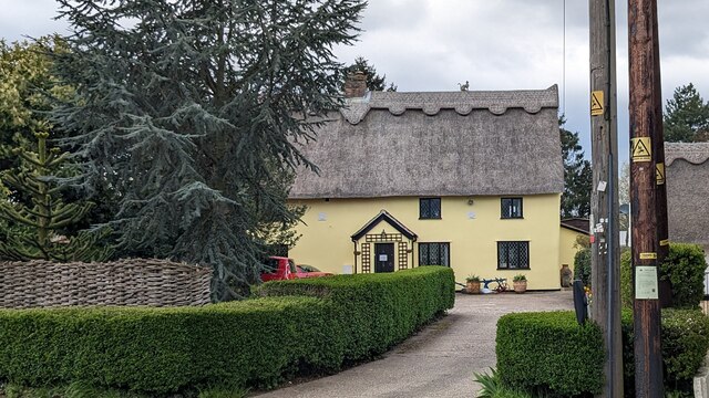
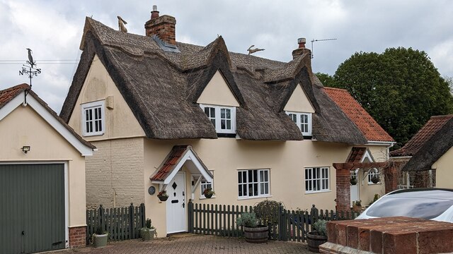
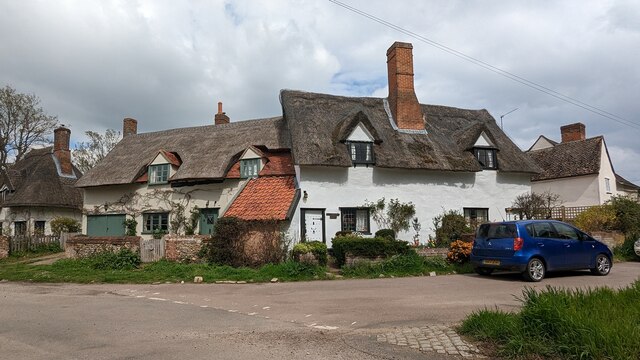
Alstrop Wood Images

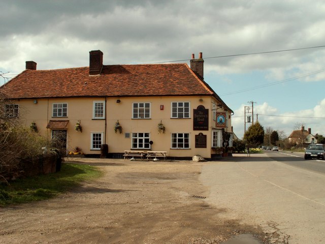
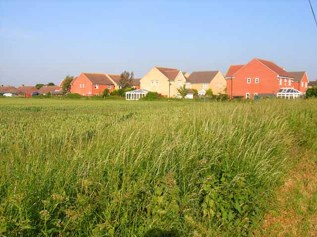
Images are sourced within 2km of 52.042651/0.79338244 or Grid Reference TL9141. Thanks to Geograph Open Source API. All images are credited.

Sudbury Road, Newton
Woods by Sudbury Road, Newton
Valley Road Originally a Roman road.
Valley Road
Originally a Roman road.
The White Horse Inn <span class="nowrap"><a title="https://historicengland.org.uk/listing/the-list/list-entry/1285257?section=official-list-entry" rel="nofollow ugc noopener" href="https://historicengland.org.uk/listing/the-list/list-entry/1285257?section=official-list-entry">Link</a><img style="margin-left:2px;" alt="External link" title="External link - shift click to open in new window" src="https://s1.geograph.org.uk/img/external.png" width="10" height="10"/></span>
The White Horse Inn
1 - 3 Valley Road, Great Waldingfield <span class="nowrap"><a title="https://historicengland.org.uk/listing/the-list/list-entry/1351733?section=official-list-entry" rel="nofollow ugc noopener" href="https://historicengland.org.uk/listing/the-list/list-entry/1351733?section=official-list-entry">Link</a><img style="margin-left:2px;" alt="External link" title="External link - shift click to open in new window" src="https://s1.geograph.org.uk/img/external.png" width="10" height="10"/></span>
1 - 3 Valley Road, Great Waldingfield
High Thatch, Great Waldingfield <span class="nowrap"><a title="https://historicengland.org.uk/listing/the-list/list-entry/1351788?section=official-list-entry" rel="nofollow ugc noopener" href="https://historicengland.org.uk/listing/the-list/list-entry/1351788?section=official-list-entry">Link</a><img style="margin-left:2px;" alt="External link" title="External link - shift click to open in new window" src="https://s1.geograph.org.uk/img/external.png" width="10" height="10"/></span>
High Thatch, Great Waldingfield
Jasmine Cottage, Great Waldingfield <span class="nowrap"><a title="https://historicengland.org.uk/listing/the-list/list-entry/1036641?section=official-list-entry" rel="nofollow ugc noopener" href="https://historicengland.org.uk/listing/the-list/list-entry/1036641?section=official-list-entry">Link</a><img style="margin-left:2px;" alt="External link" title="External link - shift click to open in new window" src="https://s1.geograph.org.uk/img/external.png" width="10" height="10"/></span>
Jasmine Cottage, Great Waldingfield
Owl, Lawrence and Little Thatch Cottages <span class="nowrap"><a title="https://historicengland.org.uk/listing/the-list/list-entry/1036603?section=official-list-entry" rel="nofollow ugc noopener" href="https://historicengland.org.uk/listing/the-list/list-entry/1036603?section=official-list-entry">Link</a><img style="margin-left:2px;" alt="External link" title="External link - shift click to open in new window" src="https://s1.geograph.org.uk/img/external.png" width="10" height="10"/></span> and <span class="nowrap"><a title="https://historicengland.org.uk/listing/the-list/list-entry/1351810?section=official-list-entry" rel="nofollow ugc noopener" href="https://historicengland.org.uk/listing/the-list/list-entry/1351810?section=official-list-entry">Link</a><img style="margin-left:2px;" alt="External link" title="External link - shift click to open in new window" src="https://s1.geograph.org.uk/img/external.png" width="10" height="10"/></span>
Owl, Lawrence and Little Thatch Cottages
LinkExternal link and LinkExternal link
Owl Cottage, Great Waldingfield <span class="nowrap"><a title="https://historicengland.org.uk/listing/the-list/list-entry/1036603?section=official-list-entry" rel="nofollow ugc noopener" href="https://historicengland.org.uk/listing/the-list/list-entry/1036603?section=official-list-entry">Link</a><img style="margin-left:2px;" alt="External link" title="External link - shift click to open in new window" src="https://s1.geograph.org.uk/img/external.png" width="10" height="10"/></span>
Owl Cottage, Great Waldingfield
Church Gate, Great Waldingfield <span class="nowrap"><a title="https://historicengland.org.uk/listing/the-list/list-entry/1351772?section=official-list-entry" rel="nofollow ugc noopener" href="https://historicengland.org.uk/listing/the-list/list-entry/1351772?section=official-list-entry">Link</a><img style="margin-left:2px;" alt="External link" title="External link - shift click to open in new window" src="https://s1.geograph.org.uk/img/external.png" width="10" height="10"/></span>
Church Gate, Great Waldingfield
Great Waldingfield
Great Waldingfield
All Saints church, Newton, Suffolk The tower of this church is 15th century but there is evidence of Norman work, which is a blocked doorway with zigzag ornament.
All Saints church, Newton, Suffolk
The tower of this church is 15th century but there is evidence of Norman work, which is a blocked doorway with zigzag ornament.
'The Saracen's Head' inn at Newton, Suffolk This picture shows the inn standing by the A134, which runs through the pleasant village of Newton. Next to the inn is a very large green , that is actually part of a golf course.
'The Saracen's Head' inn at Newton, Suffolk
This picture shows the inn standing by the A134, which runs through the pleasant village of Newton. Next to the inn is a very large green , that is actually part of a golf course.
New housing at Great Waldingfield Typical of the new housing estates which are springing up in so many villages.
New housing at Great Waldingfield
Typical of the new housing estates which are springing up in so many villages.
Meadow View, Great Waldingfield A prefab out in the country.
Meadow View, Great Waldingfield
A prefab out in the country.
Cornfield near Great Waldingfield Extensive arable farming, seen from the back lane from Great Waldingfield to Edwardstone.
Cornfield near Great Waldingfield
Extensive arable farming, seen from the back lane from Great Waldingfield to Edwardstone.
Sunken lane between Great Waldingfield and Edwardstone A sunken lane like this, running in a cutting and overhung by trees is rather uncharacteristic of Suffolk, where open fields, roads and skies are more the norm.
Sunken lane between Great Waldingfield and Edwardstone
A sunken lane like this, running in a cutting and overhung by trees is rather uncharacteristic of Suffolk, where open fields, roads and skies are more the norm.
Brooke House, Newton A magnificent hall house, built in 1691, according to a plaque on the wall.
Brooke House, Newton
A magnificent hall house, built in 1691, according to a plaque on the wall.
Show me another place!

Alstrop Wood is located at Grid Ref: TL9141 (Lat: 52.042651, Lng: 0.79338244)

Administrative County: Suffolk

District: Babergh

Police Authority: Suffolk

What 3 Words

///purple.sharp.competing. Near Great Waldingfield, Suffolk

Nearby Locations

Alstrop Wood

Related Wikis

All Saints Church, Newton Green

All Saints Church is a partly redundant Anglican church in the village of Newton Green, Suffolk, England. It is recorded in the National Heritage List...

Newton, Suffolk

Newton, also known as Newton Green to distinguish it from Nowton near Bury St Edmunds, and Old Newton near Stowmarket, is a small village and civil parish...

Edwardstone Woods

Edwardstone Woods is a 27 hectare biological Site of Special Scientific Interest near Edwardstone in Suffolk, England. It is in four areas, Park Wood with...

Babergh Hundred

Babergh was a hundred of Suffolk, consisting of 71,882 acres (290.90 km2). Its name survives in that of Babergh District, the local government district...

Great Waldingfield

Great Waldingfield is a village and civil parish in the Babergh district of Suffolk, England about two miles (3 km) north-east of Sudbury and two miles...
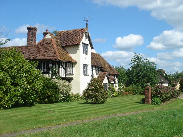
Abbas Hall

Abbas Hall is a small country house in Great Cornard, a village located near the town of Sudbury, Suffolk in England, the Elizabethan exterior of which...

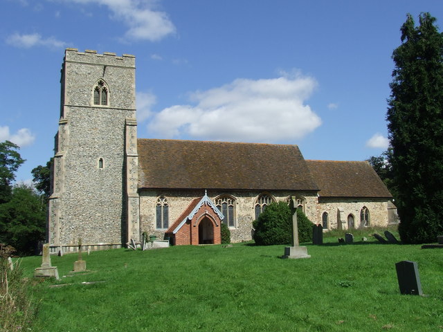
St Mary's Church, Chilton

St Mary's Church is a redundant Church of England parish church in the civil parish of Chilton, Suffolk, England. It is a Grade I listed building, and...

Edwardstone

Edwardstone is a village and civil parish in the Babergh district, in the county of Suffolk, England. The parish contains the hamlets of Mill Green, Priory...

Nearby Amenities

Located within 500m of 52.042651,0.79338244
Power: pole
Lat/Long: 52.0449101/0.7880329
Power: pole
Lat/Long: 52.0445528/0.7942209
Power: pole
Lat/Long: 52.0444443/0.796114
Power: pole
Lat/Long: 52.0446551/0.792456
Power: pole
Lat/Long: 52.0443351/0.7980511
Power: pole
Lat/Long: 52.0447574/0.7906214
Power: pole
Lat/Long: 52.0442212/0.799926
Power: pole
Lat/Long: 52.0448349/0.7893179
The data included in this document is from www.openstreetmap.org. The data is made available under ODbL.

Have you been to Alstrop Wood?

Leave your review of Alstrop Wood below (or comments, questions and feedback).