Newfoundland Wood

Wood, Forest in Kent Ashford

England

Newfoundland Wood

Derelict-looking chicken sheds, Plurenden Road These are the kinds of sheds that are used to house chickens, where the birds are kept in cages. These are arranged in tiers so that any eggs, the chickens lay, run down into wire containers outside the cages.
Derelict-looking chicken sheds, Plurenden Road Credit: John Baker

Newfoundland Wood, located in Kent, England, is a picturesque forest area known for its natural beauty and diverse wildlife. Spanning over a vast expanse of approximately 200 acres, this woodland is a popular destination for nature enthusiasts, hikers, and birdwatchers.

The forest is predominantly composed of broad-leaved trees, such as oak, beech, and birch, creating a vibrant and colorful landscape throughout the seasons. Walking through Newfoundland Wood, visitors can enjoy the tranquil atmosphere and immerse themselves in the rich biodiversity of the area. The forest floor is carpeted with a variety of wildflowers, adding to the visual appeal.

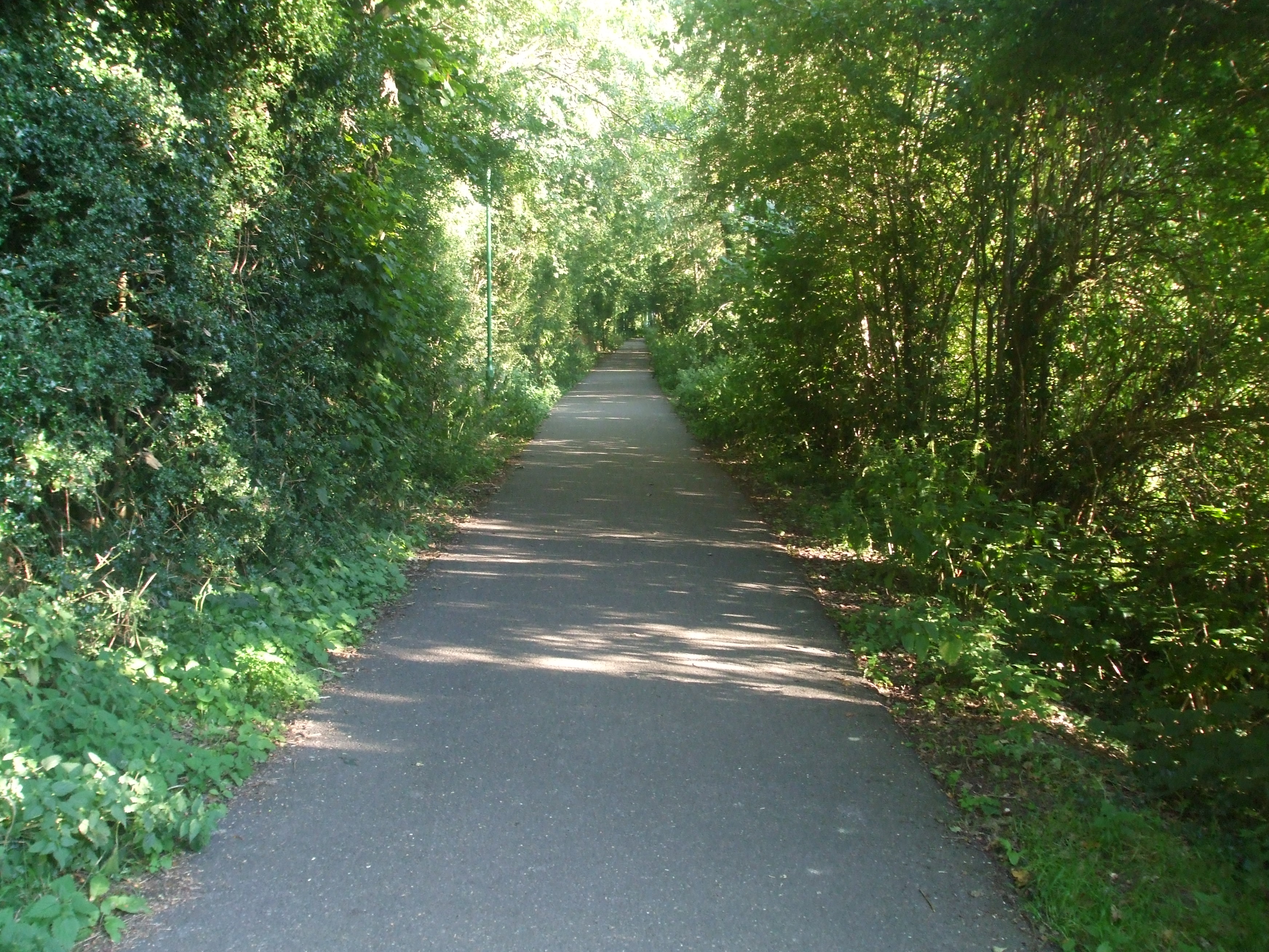
Several well-maintained trails and footpaths crisscross the wood, providing opportunities for leisurely walks or more challenging hikes. As visitors explore the forest, they may come across a range of wildlife species, including deer, foxes, rabbits, and a diverse array of bird species. Birdwatchers are particularly drawn to Newfoundland Wood due to the presence of rare and migratory birds that can be spotted in the area.

The wood is managed by local authorities and is open to the public year-round. It offers a peaceful retreat from the hustle and bustle of city life, providing a tranquil environment for relaxation and enjoyment of the natural surroundings. Whether it's a leisurely stroll, a picnic with family and friends, or an opportunity to connect with nature, Newfoundland Wood in Kent offers a delightful experience for visitors of all ages.

If you have any feedback on the listing, please let us know in the comments section below.

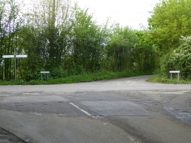
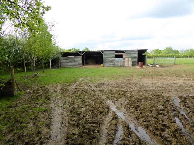
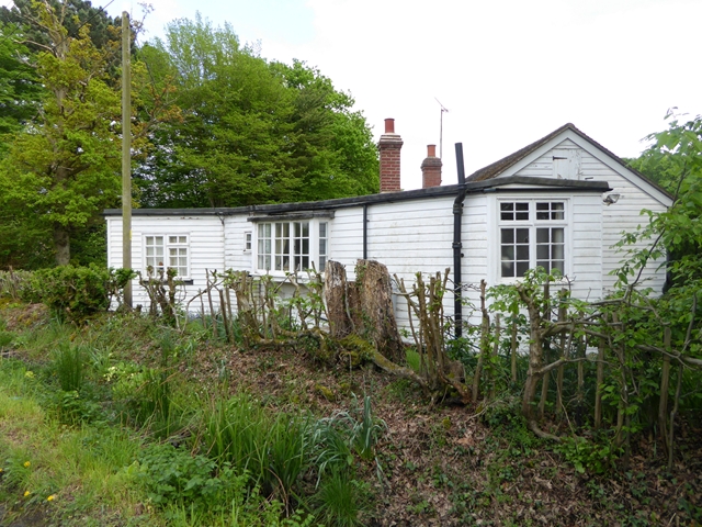
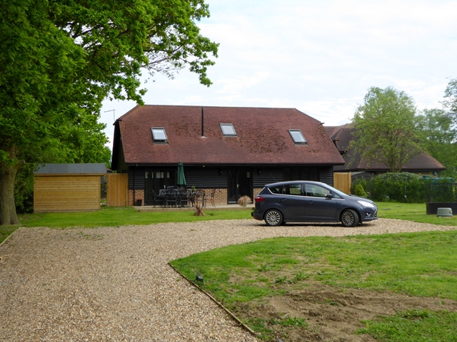
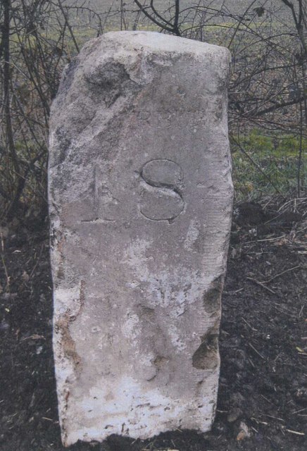
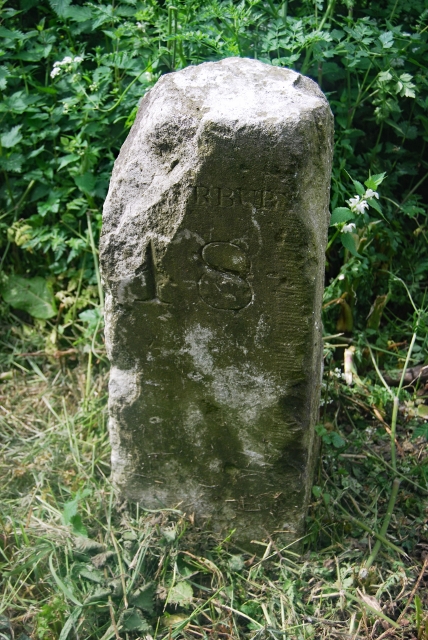
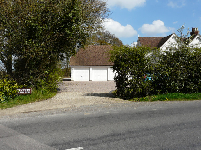
Newfoundland Wood Images

Images are sourced within 2km of 51.091727/0.73528587 or Grid Reference TQ9136. Thanks to Geograph Open Source API. All images are credited.

Derelict-looking chicken sheds, Plurenden Road These are the kinds of sheds that are used to house chickens, where the birds are kept in cages. These are arranged in tiers so that any eggs, the chickens lay, run down into wire containers outside the cages.
Derelict-looking chicken sheds, Plurenden Road
These are the kinds of sheds that are used to house chickens, where the birds are kept in cages. These are arranged in tiers so that any eggs, the chickens lay, run down into wire containers outside the cages.
St. Mary the Virgin, High Halden
Cuckolds Corner The intersection of Plurenden Road and Redbrook Street. There must be a story behind the name.
Cuckolds Corner
The intersection of Plurenden Road and Redbrook Street. There must be a story behind the name.
Muddy field and makeshift stable Off Plurenden Road.
Muddy field and makeshift stable
Off Plurenden Road.
Roadside cottage on Plurenden Road
Appleyard Barn Barn conversion let as five-star self-catering accommodation.
Appleyard Barn
Barn conversion let as five-star self-catering accommodation.
1986 St Mary the Virgin Church at High Halden, Kent A wood covered tower is the feature of this church at High Halden.
1986 St Mary the Virgin Church at High Halden, Kent
A wood covered tower is the feature of this church at High Halden.
Old Milestone by the A28, Ashford Road, east of High Halden Metal plate attached to stone post by the A28, in parish of HIGH HALDEN (ASHFORD District), East of village near double bend, on verge, East of "50" sign, on South side of road. Tenterden marker, erected by the Bethersden turnpike trust in the 19th century. 

Inscription once read:-
: (TENTERDEN / 4) : : (ASHFORD / 8) : : (CANTE)RBURY / 18 :  

Milestone Society National ID: KE_TTAF04.
Old Milestone by the A28, Ashford Road, east of High Halden
Metal plate attached to stone post by the A28, in parish of HIGH HALDEN (ASHFORD District), East of village near double bend, on verge, East of "50" sign, on South side of road. Tenterden marker, erected by the Bethersden turnpike trust in the 19th century. Inscription once read:- : (TENTERDEN / 4) : : (ASHFORD / 8) : : (CANTE)RBURY / 18 : Milestone Society National ID: KE_TTAF04.
Old Milestone by the A28, Ashford Road, east of High Halden Metal plate attached to stone post by the A28 (?plate lost?), in parish of HIGH HALDEN (ASHFORD District), E of village near double bend, on verge, E of "50" sign, on South side of road. Tenterden marker, erected by the Bethersden turnpike trust in the 19th century.

Inscription once read:- : (TENTERDEN / 4) : : (ASHFORD / 8) : : (CANTE)RBURY / 18 :

Milestone Society National ID: KE_TTAF04.
Old Milestone by the A28, Ashford Road, east of High Halden
Metal plate attached to stone post by the A28 (?plate lost?), in parish of HIGH HALDEN (ASHFORD District), E of village near double bend, on verge, E of "50" sign, on South side of road. Tenterden marker, erected by the Bethersden turnpike trust in the 19th century. Inscription once read:- : (TENTERDEN / 4) : : (ASHFORD / 8) : : (CANTE)RBURY / 18 : Milestone Society National ID: KE_TTAF04.
Oaktree Farm, Plurenden Road This was <a href="https://www.geograph.org.uk/photo/3872089">TQ9137 : Oaktree Farm, Plurenden Road</a> in February 2014. The garage was built circa 2015.
Oaktree Farm, Plurenden Road
This was TQ9137 : Oaktree Farm, Plurenden Road in February 2014. The garage was built circa 2015.
New buildings, Plurenden Road There used to be <a href="https://www.geograph.org.uk/photo/4607775">TQ9137 : Derelict-looking chicken sheds, Plurenden Road</a> on this site.
New buildings, Plurenden Road
St Mary the Virgin at High Halden St Mary the Virgin at High Halden
St Mary the Virgin at High Halden
St Mary the Virgin at High Halden Front view from the road showing the wooden spire and the wooden smock-like base.
St Mary the Virgin at High Halden
Front view from the road showing the wooden spire and the wooden smock-like base.
St Mary the Virgin at High Halden St Mary the Virgin at High Halden
St Mary the Virgin at High Halden
St Mary the Virgin at High Halden St Mary the Virgin at High Halden
St Mary the Virgin at High Halden
Side door of St Mary the Virgin at High Halden One of the side entrances to St Mary the Virgin at High Halden
Side door of St Mary the Virgin at High Halden
One of the side entrances to St Mary the Virgin at High Halden
Main Church Door of St Mary the Virgin at High Halden A very old wooden front door of St Mary the Virgin at High Halden
Main Church Door of St Mary the Virgin at High Halden
A very old wooden front door of St Mary the Virgin at High Halden
Show me another place!

Newfoundland Wood is located at Grid Ref: TQ9136 (Lat: 51.091727, Lng: 0.73528587)

Administrative County: Kent

District: Ashford

Police Authority: Kent

What 3 Words

///joked.handbook.conjured. Near High Halden, Kent

Related Wikis

National Cycle Route 18

National Cycle Route 18 (NCR18) runs from Canterbury to Royal Tunbridge Wells. It follows the valley of the River Stour to Ashford and then runs through...

High Halden

High Halden is a village and civil parish in the Ashford District of Kent, England. The village is on the A28 road between Ashford and Tenterden, 3 miles...

Shirkoak

Shirkoak is a hamlet in the civil parish of Woodchurch, southwest of the town of Ashford in Kent, England. == External links == Media related to Shirkoak...

Lower Mill, Woodchurch

Lower Mill is a smock mill in Woodchurch, Kent, England that was built in 1820. It is a Scheduled Ancient Monument and a Grade II* listed building. �...

RAF Woodchurch

Royal Air Force Woodchurch, or more simply RAF Woodchurch, is a former Royal Air Force Advanced Landing Ground located in Kent, England. The airfield...

Homewood School

Homewood School and Sixth Form Centre is an academy school in Tenterden, Kent, England. Homewood is a non-selective school, but is situated within the...

St Michaels, Kent

St Michaels is a village in the civil parish of Tenterden, in the Ashford district, in the county of Kent, England. Before 1863 it was known as Boar's...

Tenterden St Michael's railway station

Tenterden St. Michael's was a railway station on the Kent and East Sussex Railway which served the Tenterden suburb of St Michaels in Kent, England. The...

Nearby Amenities

Located within 500m of 51.091727,0.73528587
Tiffenden Airstrip
Aeroway: aerodrome
Source: http://www.airfieldcards.com/wordpress/airfield_card/tiffenden/
Lat/Long: 51.094106/0.739604
The data included in this document is from www.openstreetmap.org. The data is made available under ODbL.

Have you been to Newfoundland Wood?

Leave your review of Newfoundland Wood below (or comments, questions and feedback).