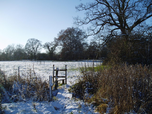
Church Plantation
Wood, Forest in Suffolk West Suffolk
England
Church Plantation

Church Plantation is a small neighborhood located in Suffolk, Virginia. Nestled within the larger community of Wood, Forest, Church Plantation offers a peaceful and family-friendly environment for its residents.
The neighborhood is characterized by its well-maintained homes and tree-lined streets, giving it a charming and picturesque atmosphere. The houses in Church Plantation encompass a range of architectural styles, including traditional Colonial and contemporary designs, providing a diverse and visually appealing neighborhood.
One of the standout features of Church Plantation is its close proximity to various amenities and recreational facilities. Residents can enjoy easy access to parks, playgrounds, and walking trails, making it an ideal location for outdoor enthusiasts and families with young children. Additionally, the neighborhood is situated near several schools, making it convenient for families with school-aged children.
Church Plantation also benefits from its location within Wood, Forest, a larger community that offers a range of amenities and services. Residents can take advantage of nearby shopping centers, restaurants, and entertainment options, providing convenience and entertainment within close reach.
Overall, Church Plantation in Suffolk, Virginia, offers a welcoming and family-oriented neighborhood with a wide range of amenities and services nearby. Its beautiful homes, well-maintained streets, and close proximity to parks and schools make it a highly desirable place to live for individuals and families alike.
If you have any feedback on the listing, please let us know in the comments section below.
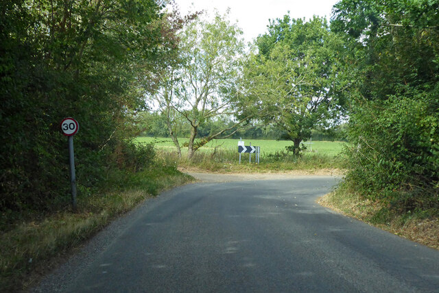
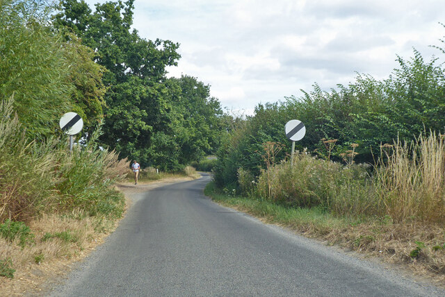
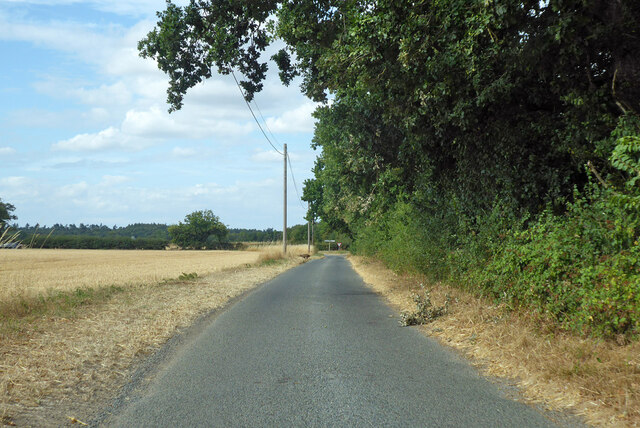
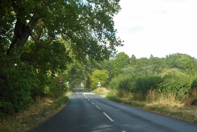
Church Plantation Images
Images are sourced within 2km of 52.230669/0.80097288 or Grid Reference TL9162. Thanks to Geograph Open Source API. All images are credited.


Church Plantation is located at Grid Ref: TL9162 (Lat: 52.230669, Lng: 0.80097288)
Administrative County: Suffolk
District: West Suffolk
Police Authority: Suffolk
What 3 Words
///delays.composers.aviation. Near Thurston, Suffolk
Nearby Locations
Related Wikis

Rougham, Suffolk
Rougham is a village and former civil parish 19 miles (31 km) north west of Ipswich, now in the parish of Rushbrooke with Rougham, in the West Suffolk...
Rushbrooke with Rougham
Rushbrooke with Rougham is a large civil parish in the West Suffolk district of Suffolk in eastern England covering the villages of Blackthorpe, Rougham...

Beyton
Beyton is a village and civil parish in the Mid Suffolk district of the English county of Suffolk. The village is around 8 miles (13 km) east of Bury St...
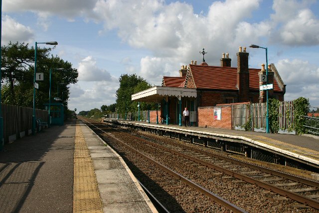
Thurston railway station
Thurston railway station serves the village of Thurston in Suffolk, England. The station, and all trains serving it, are operated by Greater Anglia. It...
Nearby Amenities
Located within 500m of 52.230669,0.80097288Have you been to Church Plantation?
Leave your review of Church Plantation below (or comments, questions and feedback).