Little Honeyfield Wood
Wood, Forest in Kent Ashford
England
Little Honeyfield Wood
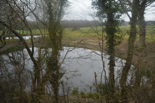
Little Honeyfield Wood is a charming woodland located in the county of Kent, England. Covering an area of approximately 20 acres, it is nestled within the picturesque landscape of the High Weald Area of Outstanding Natural Beauty. The wood is easily accessible, situated just off the B2169 road, near the village of Hawkhurst.
The woodland is predominantly made up of mature oak trees, with some ash, birch, and beech trees scattered throughout. The dense canopy provided by these majestic trees creates a cool and shaded environment, perfect for a peaceful stroll or a picnic on a warm summer day.
Little Honeyfield Wood is home to a rich variety of flora and fauna. The forest floor is adorned with wildflowers such as bluebells, primroses, and wood anemones, adding a splash of color to the green surroundings. The wood is also a sanctuary for a plethora of bird species, including woodpeckers, nuthatches, and tawny owls, making it a haven for birdwatchers and nature enthusiasts.
The wood is crisscrossed by a network of well-maintained footpaths, allowing visitors to explore its tranquil beauty at their own pace. The paths wind through the trees, offering glimpses of sun-dappled glades and babbling brooks along the way. There are also a few benches strategically placed, providing opportunities for visitors to sit and soak in the peaceful ambiance of the wood.
Little Honeyfield Wood is a true gem of Kent, offering a serene escape from the hustle and bustle of modern life. Its natural beauty and diverse wildlife make it a must-visit destination for anyone seeking a taste of the county's idyllic countryside.
If you have any feedback on the listing, please let us know in the comments section below.
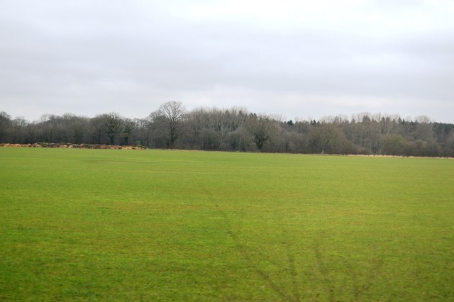
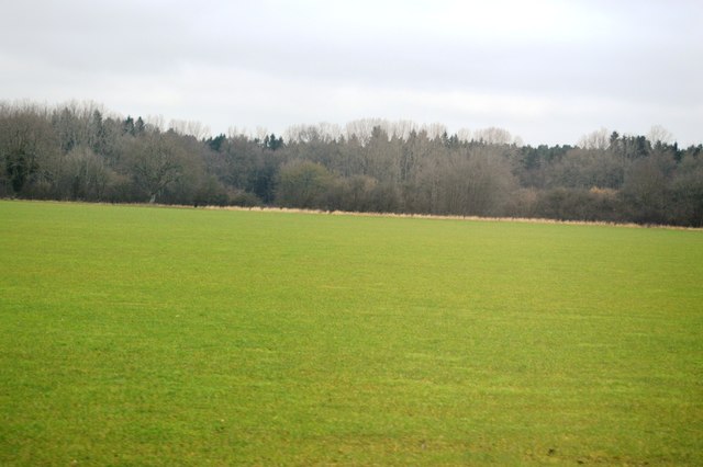
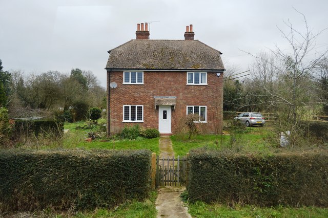
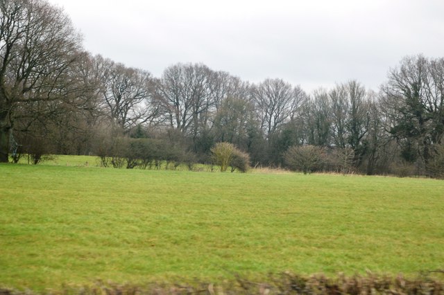
Little Honeyfield Wood Images
Images are sourced within 2km of 51.125361/0.73277097 or Grid Reference TQ9139. Thanks to Geograph Open Source API. All images are credited.


Little Honeyfield Wood is located at Grid Ref: TQ9139 (Lat: 51.125361, Lng: 0.73277097)
Administrative County: Kent
District: Ashford
Police Authority: Kent
What 3 Words
///stiff.trio.propelled. Near High Halden, Kent
Nearby Locations
Related Wikis
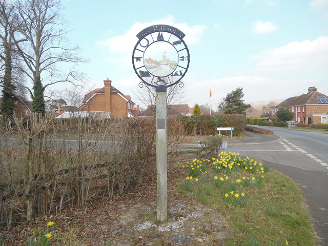
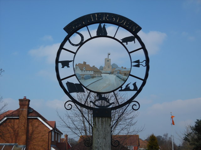
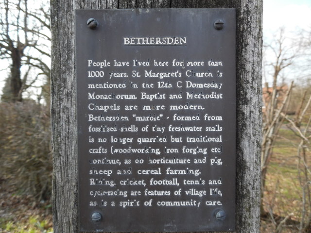
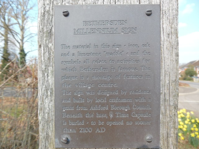
Bethersden
Bethersden is a village and civil parish in the borough of Ashford in Kent, England, 5 miles (8 km) west of the town of Ashford. Located on the main road...
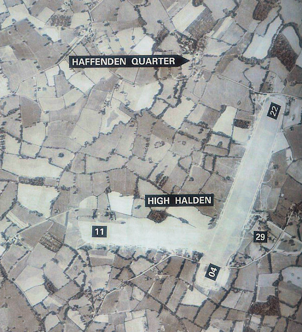
RAF High Halden
Royal Air Force High Halden or more simply RAF High Halden is a former Royal Air Force Advanced Landing Ground in Kent, England. The airfield is located...

National Cycle Route 18
National Cycle Route 18 (NCR18) runs from Canterbury to Royal Tunbridge Wells. It follows the valley of the River Stour to Ashford and then runs through...
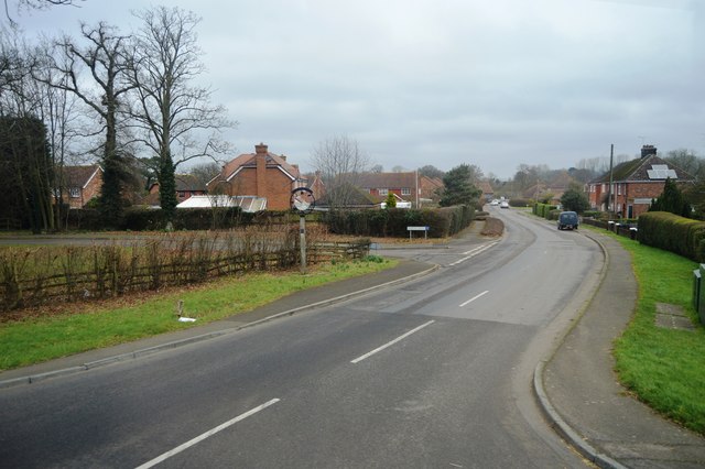
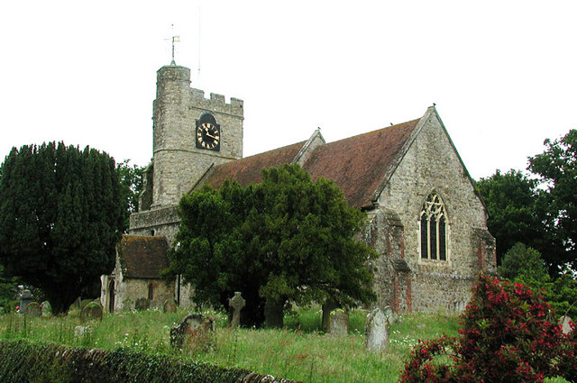
High Halden
High Halden is a village and civil parish in the Ashford District of Kent, England. The village is on the A28 road between Ashford and Tenterden, 3 miles...

Pluckley railway station
Pluckley railway station is on the South Eastern Main Line in England, serving the village of Pluckley, Kent, which is approximately 1.2 miles (2 km) to...
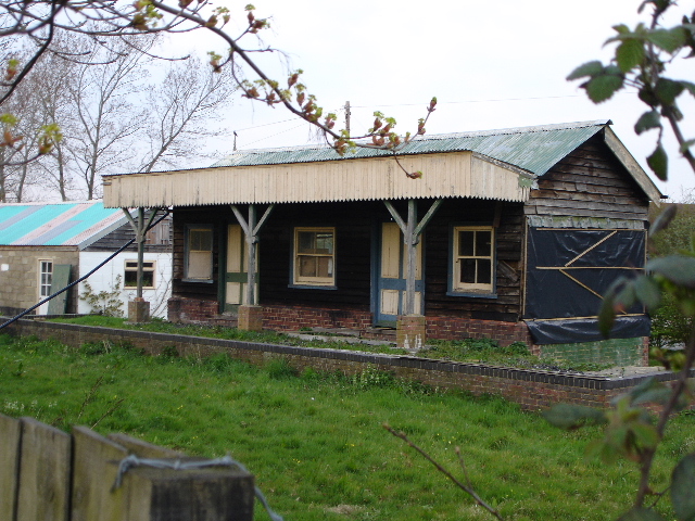
High Halden Road railway station
High Halden Road is a disused railway station on the defunct Kent and East Sussex Railway which closed in 1954. The station building and platform still...

Hoad's Wood
Hoad's Wood is an 80.5-hectare (199-acre) biological Site of Special Scientific Interest west of Ashford in Kent.Natural England described the woodland...
Shirkoak
Shirkoak is a hamlet in the civil parish of Woodchurch, southwest of the town of Ashford in Kent, England. == External links == Media related to Shirkoak...
Nearby Amenities
Located within 500m of 51.125361,0.73277097Have you been to Little Honeyfield Wood?
Leave your review of Little Honeyfield Wood below (or comments, questions and feedback).