Black Belt
Wood, Forest in Suffolk West Suffolk
England
Black Belt
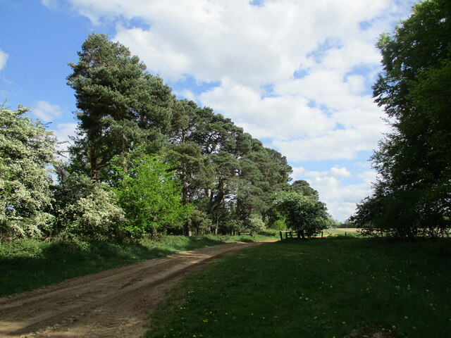
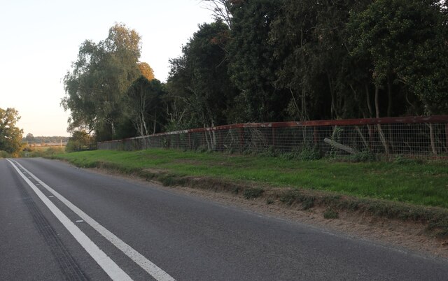
Black Belt, Suffolk is a small wooded area located in the county of Suffolk, England. Situated in the eastern part of the country, Black Belt is known for its lush greenery and dense forests. The name "Black Belt" is derived from the rich, dark soil found in the region, which is ideal for growing various types of trees, including oak, beech, and pine.
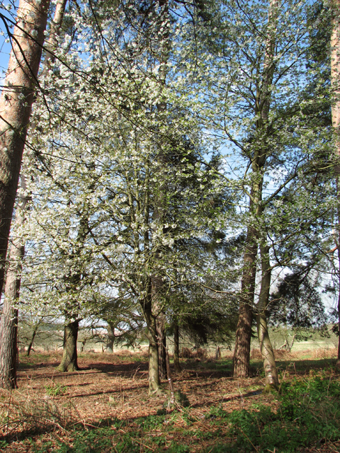
Covering an area of approximately 100 square kilometers, Black Belt is a popular destination for nature enthusiasts and hikers. The forested landscape offers a tranquil and scenic environment, making it a haven for those seeking solace in nature. The dense woodland provides habitat for a diverse range of wildlife, including deer, foxes, squirrels, and various bird species.
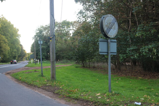
The Black Belt area is crisscrossed by several walking trails and footpaths, allowing visitors to explore the natural beauty of the region. These paths often lead to picturesque spots, such as hidden waterfalls and scenic viewpoints. The Suffolk Woodland Trust, a local conservation organization, actively maintains and preserves the woodland, ensuring its sustainability for future generations to enjoy.
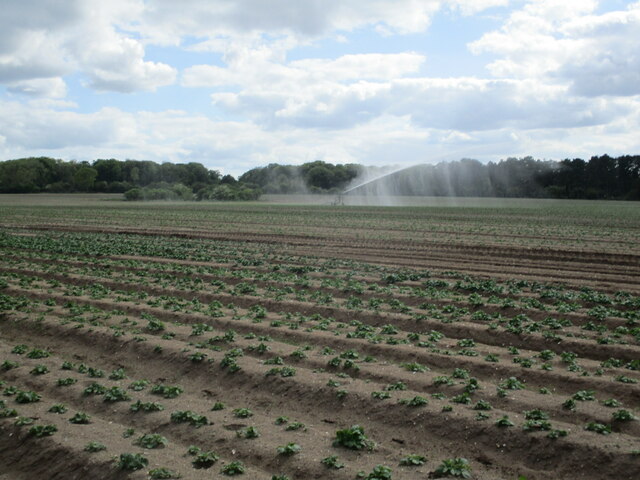
In addition to its natural splendor, Black Belt is also home to a small community of residents. The picturesque villages nestled within the forested area provide a peaceful and close-knit rural lifestyle. The residents often engage in traditional activities such as farming and forestry, which have been an integral part of the local economy for generations.
Overall, Black Belt, Suffolk offers a unique blend of natural beauty, tranquility, and community spirit. It serves as a testament to the diverse and captivating landscapes that can be found in the county of Suffolk.
If you have any feedback on the listing, please let us know in the comments section below.
Black Belt Images
Images are sourced within 2km of 52.374713/0.80802587 or Grid Reference TL9178. Thanks to Geograph Open Source API. All images are credited.


Black Belt is located at Grid Ref: TL9178 (Lat: 52.374713, Lng: 0.80802587)
Administrative County: Suffolk
District: West Suffolk
Police Authority: Suffolk
What 3 Words
///egging.prowling.engineers. Near Thetford, Norfolk
Nearby Locations
Related Wikis

Euston Hall
Euston Hall is a country house, with park by William Kent and Capability Brown, located in Euston, a small village in Suffolk located just south of Thetford...

Euston, Suffolk
Euston is a village and civil parish in the West Suffolk district of Suffolk in eastern England. Located on the A1088 around two miles south of Thetford...

Fakenham Wood and Sapiston Great Grove
Fakenham Wood and Sapiston Great Grove is a 200.7-hectare (496-acre) biological Site of Special Scientific Interest north of Sapiston in Suffolk. These...

Fakenham Magna
Fakenham Magna (or Great Fakenham) is a village and civil parish in the West Suffolk district of Suffolk in eastern England. The meaning of the word 'Fakenham...
Have you been to Black Belt?
Leave your review of Black Belt below (or comments, questions and feedback).