Ford
Settlement in Durham
England
Ford

Ford is a small village located in the county of Durham, in the northeast of England. Situated on the banks of the River Wear, Ford is part of the larger rural parish of Monkwearmouth, and it is approximately 7 miles southwest of the city of Sunderland.
The village is known for its picturesque and idyllic setting, surrounded by rolling hills and green countryside. It is a close-knit community with a population of around 500 residents. The village features a mix of traditional stone-built cottages and more modern houses, creating a charming and unique atmosphere.
Ford is renowned for its historical significance, particularly its connection to the nearby Finchale Priory, a medieval Benedictine priory founded in the 12th century. Visitors can explore the ruins of the priory, which provide a glimpse into the region's rich history.
Despite its small size, Ford offers a variety of amenities to its residents and visitors. The village boasts a primary school, a village hall, and a local pub, serving as a social hub for the community. The surrounding natural landscape also provides opportunities for outdoor activities such as walking, cycling, and fishing.
Overall, Ford provides a peaceful and picturesque retreat from urban life, offering a close community spirit and a chance to explore the historical and natural beauty of the Durham countryside.
If you have any feedback on the listing, please let us know in the comments section below.
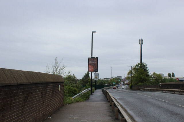
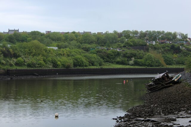
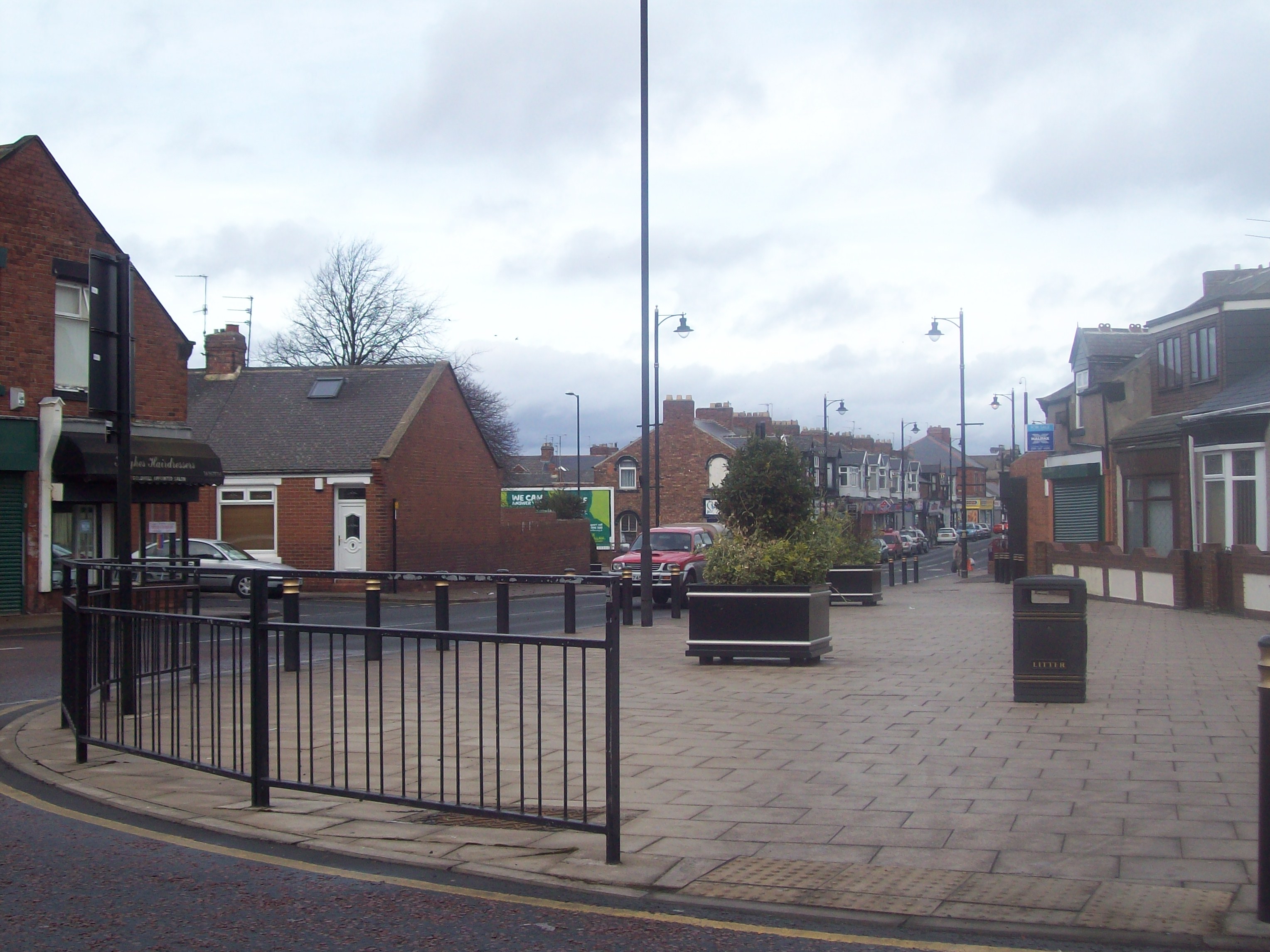
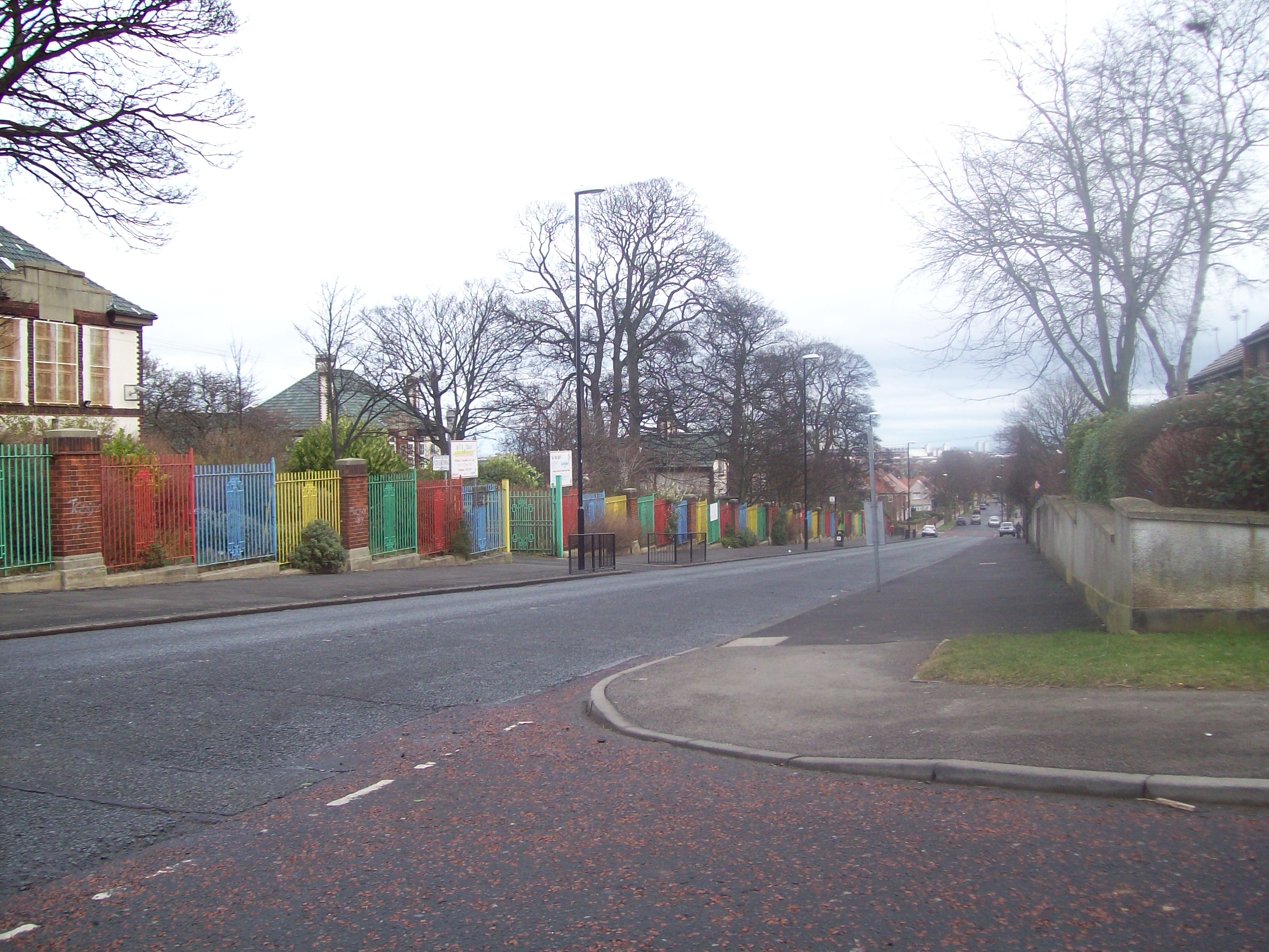
Ford Images
Images are sourced within 2km of 54.905/-1.419022 or Grid Reference NZ3756. Thanks to Geograph Open Source API. All images are credited.


Ford is located at Grid Ref: NZ3756 (Lat: 54.905, Lng: -1.419022)
Unitary Authority: Sunderland
Police Authority: Northumbria
What 3 Words
///spices.family.chefs. Near Sunderland, Tyne & Wear
Nearby Locations
Related Wikis
Pallion
Pallion is a suburb and electoral ward in North West Sunderland, in Tyne and Wear, England. Most of the buildings in the area were built during the Victorian...

Millfield, Tyne and Wear
Millfield is a suburb and electoral ward of the City of Sunderland, in Tyne and Wear, England. Most of the buildings in the area were built after the Victorian...
Ford Estate
Ford Estate (known as Ford locally) is a suburb in the south of Sunderland. The suburb is divided into two areas: High Ford borders the estate of Pennywell...
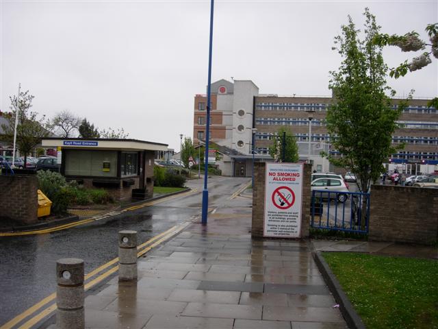
Sunderland Royal Hospital
Sunderland Royal Hospital is an acute general hospital in Sunderland, Tyne and Wear. It is managed by the South Tyneside and Sunderland NHS Foundation...

Bishopwearmouth Cemetery
Bishopwearmouth Cemetery is a cemetery in Sunderland, Tyne and Wear, England. It lies between Hylton Road and Chester Road (A183 road). == History == Due...

Pallion Metro station
Pallion is a Tyne and Wear Metro station, serving the suburb of Pallion, City of Sunderland in Tyne and Wear, England. It joined the network on 31 March...
Barnes, Sunderland
Barnes is an inner suburb in the southwest of Sunderland in northeast England, situated about a mile from the city centre. The area is split into Barnes...

Millfield Metro station
Millfield is a Tyne and Wear Metro station, serving Sunderland Royal Hospital and the suburb of Millfield, City of Sunderland in Tyne and Wear, England...
Nearby Amenities
Located within 500m of 54.905,-1.419022Have you been to Ford?
Leave your review of Ford below (or comments, questions and feedback).