Wheatgratten Wood
Wood, Forest in Kent Maidstone
England
Wheatgratten Wood

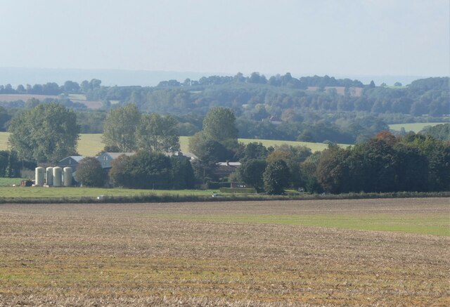
Wheatgratten Wood is a serene and picturesque forest located in the county of Kent, England. Covering an area of approximately 100 acres, this woodland is a haven for nature enthusiasts and those seeking tranquility amidst the hustle and bustle of modern life.
The wood is primarily composed of a variety of deciduous trees, including oak, beech, and birch, which create a rich and vibrant tapestry of colors throughout the year. These trees provide a diverse and vital habitat for a myriad of wildlife, including various bird species, small mammals, and insects.
Visitors to Wheatgratten Wood can explore the numerous walking trails that wind their way through the forest, immersing themselves in the natural beauty that surrounds them. The trails offer glimpses of enchanting wildflowers that bloom in the spring and summer months, adding bursts of color to the lush greenery.
This woodland is also home to a small pond, which serves as a watering hole for the local wildlife. The pond provides a tranquil spot for visitors to sit and observe the diverse array of bird species that frequent the area.
Wheatgratten Wood is easily accessible, with a car park located nearby for the convenience of visitors. The forest is open to the public throughout the year, offering a peaceful retreat for individuals and families alike. Whether it is a leisurely stroll, a birdwatching expedition, or simply a desire to reconnect with nature, Wheatgratten Wood provides an idyllic setting to escape the stresses of everyday life.
If you have any feedback on the listing, please let us know in the comments section below.
Wheatgratten Wood Images
Images are sourced within 2km of 51.224451/0.73659021 or Grid Reference TQ9150. Thanks to Geograph Open Source API. All images are credited.


Wheatgratten Wood is located at Grid Ref: TQ9150 (Lat: 51.224451, Lng: 0.73659021)
Administrative County: Kent
District: Maidstone
Police Authority: Kent
What 3 Words
///opposite.gold.inserting. Near Lenham, Kent
Nearby Locations
Related Wikis

Lenham Heath
Lenham Heath is a hamlet in Kent situated on the southern edge of the North Downs, halfway between Maidstone and Ashford. grid reference TQ910500. The...

Lenham Quarry
Lenham Quarry is a 4-hectare (9.9-acre) geological Site of Special Scientific Interest east of Lenham in Kent. It is a Geological Conservation Review site...

St Mary's Church, Lenham
St Mary's is a parish church in Lenham, Kent begun in the 12th century with additions in the next three centuries. It is a Grade I listed building. �...
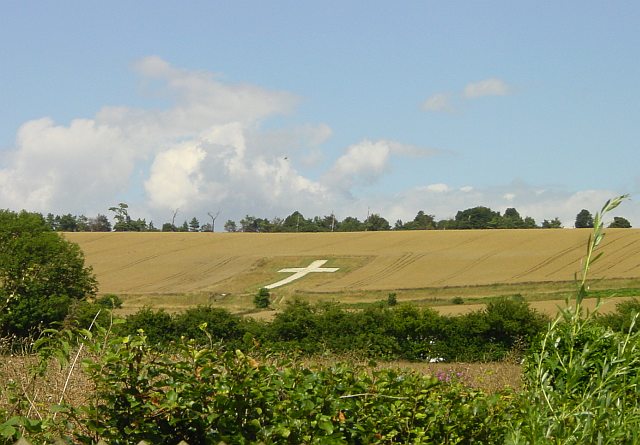
Lenham Cross
The Lenham Cross is a chalk cross carved into the hillside to the north of Lenham in Kent, in England. The Latin cross is 200 ft (61 m) high with arms...
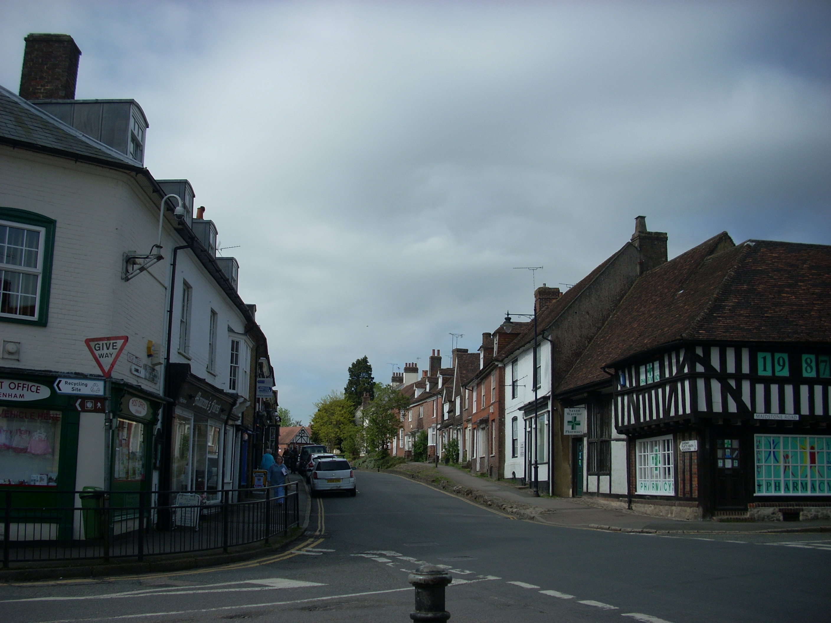
Lenham
Lenham is a market village and civil parish in Kent situated on the southern edge of the North Downs, 9 miles (14 km) east of Maidstone. The picturesque...
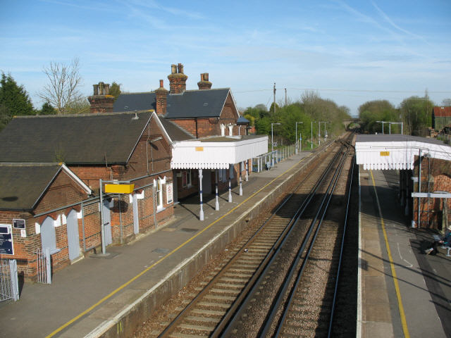
Lenham railway station
Lenham railway station serves Lenham in Kent, England. It is 49 miles 11 chains (79.1 km) down the line from London Victoria. The station, and all trains...
The Lenham School
The Lenham School is a coeducational secondary school and sixth form located in Lenham, Kent, England. It opened in 1952, as Swadelands School, and provides...
Sandway
Sandway is a hamlet about one mile (1.6 km) to the SW of Lenham in the Maidstone district of Kent, England. The population is included in the civil parish...
Nearby Amenities
Located within 500m of 51.224451,0.73659021Have you been to Wheatgratten Wood?
Leave your review of Wheatgratten Wood below (or comments, questions and feedback).