New Plantation

Wood, Forest in Norfolk Breckland

England

New Plantation

St. Mary: the parish church of Watton This church dates from the Norman period right through to Victorian.
St. Mary: the parish church of Watton Credit: Robert Edwards

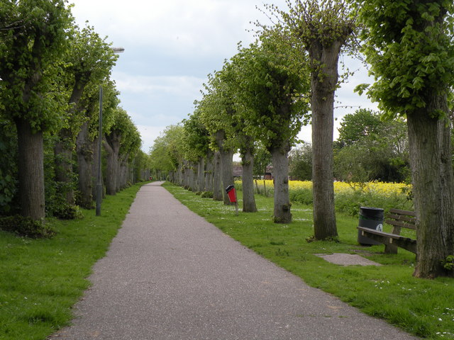
New Plantation, Norfolk (Wood, Forest) is a picturesque woodland located in the county of Norfolk, England. Spanning an area of approximately 200 acres, this enchanting forest is a popular destination for nature enthusiasts, hikers, and families seeking a peaceful retreat.

The woodland is characterized by its dense canopy of trees, primarily consisting of native species such as oak, ash, and beech. The forest floor is adorned with a rich tapestry of ferns, mosses, and wildflowers, creating a vibrant and diverse ecosystem. Numerous walking trails meander through the woodland, offering visitors the opportunity to explore its hidden treasures.

Wildlife thrives within the New Plantation, Norfolk (Wood, Forest). The forest provides a sanctuary for various bird species, including woodpeckers, owls, and songbirds, making it a haven for birdwatching enthusiasts. Squirrels, rabbits, and other small mammals can also be spotted darting through the undergrowth.

The woodland exudes tranquility and offers a respite from the hustle and bustle of daily life. It is a popular destination for families, who can enjoy picnics in designated areas or engage in outdoor activities such as den building and nature scavenger hunts. The forest also provides an ideal backdrop for photography enthusiasts, with its stunning natural beauty and changing seasons.

New Plantation, Norfolk (Wood, Forest) is managed by the local authorities and is open to the public throughout the year. Its accessibility, natural beauty, and diverse wildlife make it a cherished destination for those seeking solace in nature.

If you have any feedback on the listing, please let us know in the comments section below.

New Plantation Images

Images are sourced within 2km of 52.561675/0.81848183 or Grid Reference TL9199. Thanks to Geograph Open Source API. All images are credited.

St. Mary: the parish church of Watton This church dates from the Norman period right through to Victorian.
St. Mary: the parish church of Watton
This church dates from the Norman period right through to Victorian.
Church Walk at Watton This pathway connects Church Road with Cadman Way.
Church Walk at Watton
This pathway connects Church Road with Cadman Way.
St. Mary's church, Watton I was fortunate to find the church open on my third visit due to a funeral taking place, no keyholder, usually locked and inhospitable.  The tower is Norman with a later upper stage and parapet. The south arcade is 14th c. but much restoration and re-building has destroyed much of its appeal. The 15th c. font has geometric patterns carved around the bowl. In the nave, attached to a pillar is a unique poor-man’s box dated, a carved wooden figure holding out his hand with a slot in his wrist for the offering. On his chest is written ‘Remember the poore-1639’ The nave itself is quite well lit but some nice Victorian wood carving can be found in dark corners and on the handrail of the pulpit and readers desk. Behind the altar rail is a sedilia, on its left is a piscina bowl cut directly into the sill.
St. Mary's church, Watton
I was fortunate to find the church open on my third visit due to a funeral taking place, no keyholder, usually locked and inhospitable. The tower is Norman with a later upper stage and parapet. The south arcade is 14th c. but much restoration and re-building has destroyed much of its appeal. The 15th c. font has geometric patterns carved around the bowl. In the nave, attached to a pillar is a unique poor-man’s box dated, a carved wooden figure holding out his hand with a slot in his wrist for the offering. On his chest is written ‘Remember the poore-1639’ The nave itself is quite well lit but some nice Victorian wood carving can be found in dark corners and on the handrail of the pulpit and readers desk. Behind the altar rail is a sedilia, on its left is a piscina bowl cut directly into the sill.
Watton Town Hall Viewed from the south.
Watton Town Hall
Viewed from the south.
Ordnance Survey Flush Bracket S0264 This can be found on the wall of The Town Hall in Watton.
For more detail see : <span class="nowrap"><a title="http://www.bench-marks.org.uk/bm10731" rel="nofollow ugc noopener" href="http://www.bench-marks.org.uk/bm10731">Link</a><img style="margin-left:2px;" alt="External link" title="External link - shift click to open in new window" src="https://s1.geograph.org.uk/img/external.png" width="10" height="10"/></span>
Ordnance Survey Flush Bracket S0264
This can be found on the wall of The Town Hall in Watton. For more detail see : LinkExternal link
Former Brewery Building formerly Watton Brewery on the High Street Watton, Norfolk. Production ceased in about 1912 after it had been taken over by Morgans Brewery of Norwich.
Former Brewery
Building formerly Watton Brewery on the High Street Watton, Norfolk. Production ceased in about 1912 after it had been taken over by Morgans Brewery of Norwich.
Watton Brewery Sign Old name on former brewery building at Watton, Norfolk for view of the building see <a title="https://www.geograph.org.uk/photo/4308213" href="https://www.geograph.org.uk/photo/4308213">Link</a>
Watton Brewery Sign
Old name on former brewery building at Watton, Norfolk for view of the building see Link
High Street, Watton Looking along the eastern end of the High Street, dozing at midday on a Sunday. Watton is a small market town with a population of about 6,800 - a centre for a deeply rural district.
High Street, Watton
Looking along the eastern end of the High Street, dozing at midday on a Sunday. Watton is a small market town with a population of about 6,800 - a centre for a deeply rural district.
High Street, Watton Looking along the north side of Watton's High Street with the Post Office immediately ahead.
High Street, Watton
Looking along the north side of Watton's High Street with the Post Office immediately ahead.
J.C. Books, Watton Books, many with an East Anglian theme, look out from the window of this second-hand bookshop's window onto Watton High Street.
J.C. Books, Watton
Books, many with an East Anglian theme, look out from the window of this second-hand bookshop's window onto Watton High Street.
The Manor House, Watton This splendid building on Dereham Road dates from the 18th century. It is now occupied by a firm of solicitors.
The Manor House, Watton
This splendid building on Dereham Road dates from the 18th century. It is now occupied by a firm of solicitors.
Middle Street, Watton Middle street is a short street running west from Dereham Road parallel with High Street.
Middle Street, Watton
Middle street is a short street running west from Dereham Road parallel with High Street.
The Clock Tower, Watton This distinctive building on High Street once served as the town's lock-up, with bells in the upper part to warn of fire.
The Clock Tower, Watton
This distinctive building on High Street once served as the town's lock-up, with bells in the upper part to warn of fire.
The Clock Tower, Watton Looking straight up at the clock tower on High Street which dates from 1679.
The Clock Tower, Watton
Looking straight up at the clock tower on High Street which dates from 1679.
Watton High Street and clock tower The clock tower was built in 1679. It houses a bell which was originally intended to act as a fire warning (following the fire of 1674 which caused much damage). The brick tower was rendered in cement in 1827.
Watton High Street and clock tower
The clock tower was built in 1679. It houses a bell which was originally intended to act as a fire warning (following the fire of 1674 which caused much damage). The brick tower was rendered in cement in 1827.
Queens Hall, Watton Opened in 1956 and originally called Coronation Hall, Queens Hall is run by a charitable trust as a community venue.
Queens Hall, Watton
Opened in 1956 and originally called Coronation Hall, Queens Hall is run by a charitable trust as a community venue.
Businesses on Middle Street See <a href="https://www.geograph.org.uk/photo/6131717">TF9100 : Flower shop</a> for a closer view of the Dutch Flower Shop.
Businesses on Middle Street
See TF9100 : Flower shop for a closer view of the Dutch Flower Shop.
Queues for Fuel, Thetford Road At the time of photographing, motorists are responding by panic buying to a shortage of fuel deliveries to filling stations (caused by a shortage of HGV drivers). Hence long queues have formed at those places that have not yet sold out.
Queues for Fuel, Thetford Road
At the time of photographing, motorists are responding by panic buying to a shortage of fuel deliveries to filling stations (caused by a shortage of HGV drivers). Hence long queues have formed at those places that have not yet sold out.
Show me another place!

New Plantation is located at Grid Ref: TL9199 (Lat: 52.561675, Lng: 0.81848183)

Administrative County: Norfolk

District: Breckland

Police Authority: Norfolk

What 3 Words

///against.trees.fluctuate. Near Watton, Norfolk

Related Wikis

Wayland Academy, Watton

Wayland Academy (formerly Wayland Community High School) is a small mixed secondary school located in Watton in the English county of Norfolk. It is part...

Merton, Norfolk

Merton is a civil parish in the English county of Norfolk. It covers an area of 5.94 km2 (2.29 sq mi) and had a population of 113 in 50 households at the...
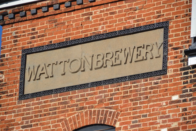
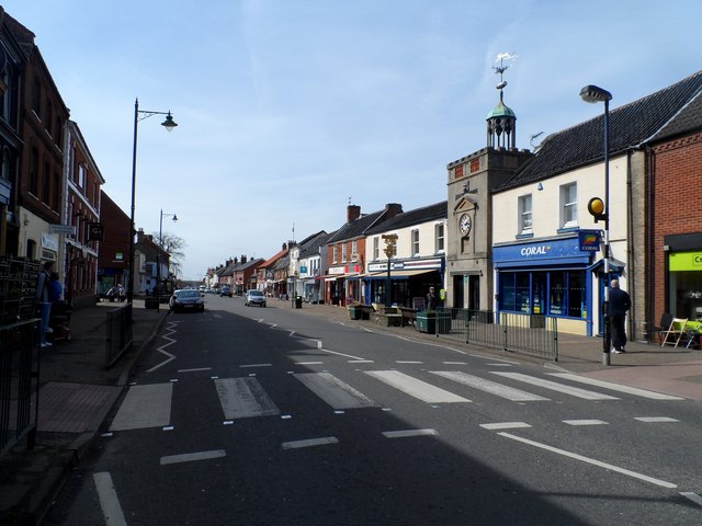
Watton, Norfolk

Watton is a market town in the district of Breckland in the English county of Norfolk, about 25 miles (40 km) west-southwest of Norwich and 15 miles (24...
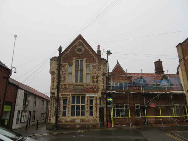
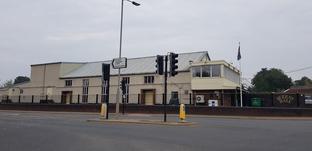
Wayland Hall

Wayland Hall, also known as Watton Town Hall, is a community events venue in Middle Street, Watton, Norfolk, England: the structure, which also accommodates...
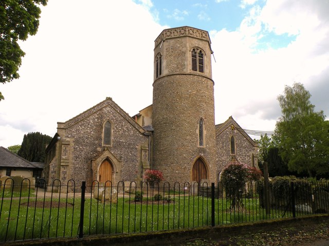
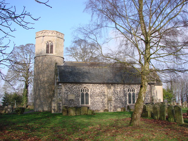
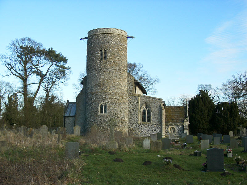
Wayland Wood

Wayland Wood is a 31.7-hectare (78-acre) biological Site of Special Scientific Interest near to Watton in Norfolk. It is a Nature Conservation Review...

Watton railway station

Watton railway station was located in Watton, Norfolk. It was on the Great Eastern Railway line between Swaffham and Thetford, and closed for passengers...

Watton United F.C.

Watton United Football Club is an English football club based in Watton, Norfolk. The club are currently members of the Anglian Combination Division One...

Loch Neaton

Loch Neaton is a freshwater lake near Watton in Norfolk, England. It was created after earth was excavated in 1875 to create a mile long embankment for...

Nearby Amenities

Located within 500m of 52.561675,0.81848183
Jubilee Road, adj
Naptan AtcoCode: 2900W1241
Naptan Bearing: N
Naptan BusStopType: CUS
Naptan CommonName: Jubilee Road
Naptan Indicator: adj
Naptan Landmark: Jubilee Road
Naptan Locality: Watton
Naptan NaptanCode: nfogdjdw
Naptan ShortCommonName: Merton Road
Naptan Street: Merton Road
Naptan Verified: no
Source: naptan_import
Lat/Long: 52.5650917/0.8226039
Jubilee Road, opp
Naptan AtcoCode: 2900W1242
Naptan Bearing: S
Naptan BusStopType: CUS
Naptan CommonName: Jubilee Road
Naptan Indicator: opp
Naptan Landmark: Jubilee Road
Naptan Locality: Watton
Naptan NaptanCode: nfogdjga
Naptan ShortCommonName: Merton Road
Naptan Street: Merton Road
Naptan Verified: no
Source: naptan_import
Lat/Long: 52.5649611/0.8228021
Post Box
Collection Times: Mo-Fr 17:15; Sa 09:45
Post Box Type: lamp
Ref: IP25 3250
Royal Cypher: EIIR
Royal Cypher Wikidata: Q33102113
Lat/Long: 52.5652414/0.8225588
Waste Basket
Waste: dog_excrement
Lat/Long: 52.5650706/0.8227622
Location Transition: yes
Power: pole
Lat/Long: 52.5624652/0.8153835
Power: pole
Lat/Long: 52.5627717/0.8159977
Power: pole
Lat/Long: 52.5628728/0.8174783
Power: pole
Lat/Long: 52.5629673/0.8189106
Power: pole
Lat/Long: 52.5630774/0.8203697
Power: pole
Lat/Long: 52.563066/0.8217698
Power: pole
Lat/Long: 52.5642212/0.822887
Power: pole
Lat/Long: 52.563637/0.8223237
Location Transition: yes
Power: pole
Lat/Long: 52.5642542/0.8229339
Power: pole
Lat/Long: 52.5636562/0.824216
Power: pole
Lat/Long: 52.5630709/0.8254927
The data included in this document is from www.openstreetmap.org. The data is made available under ODbL.

Have you been to New Plantation?

Leave your review of New Plantation below (or comments, questions and feedback).