King's Grove
Wood, Forest in Suffolk Babergh
England
King's Grove
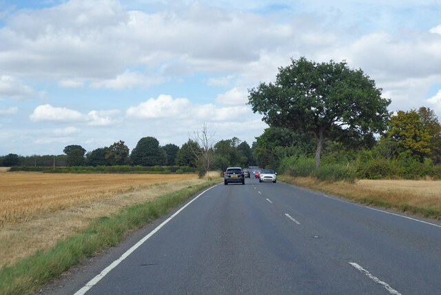
King's Grove is a picturesque woodland located in Suffolk, England. Situated near the village of Wood, the forest covers an area of approximately 500 acres and is renowned for its natural beauty and diverse wildlife. The woodland is a mix of ancient oak and beech trees, creating a dense and enchanting canopy that attracts visitors from far and wide.
The forest is renowned for its tranquil atmosphere, making it a popular destination for those seeking peace and solitude. Its location away from major roads and urban areas ensures that the sounds of nature prevail, with only the occasional rustle of leaves or bird song breaking the silence.
King's Grove is a haven for wildlife enthusiasts, as the forest is home to a variety of animals and birds. Roe deer can often be spotted grazing among the trees, while foxes and badgers make their homes in the undergrowth. Birdwatchers are treated to the sight of woodpeckers, owls, and various species of thrushes that inhabit the forest.
The woodland is crisscrossed by a network of walking trails, allowing visitors to explore its beauty at their own pace. These well-maintained paths lead to hidden clearings, babbling brooks, and small ponds, adding to the serene ambiance of the forest.
King's Grove is a cherished natural gem in Suffolk, offering a sanctuary to both nature lovers and those seeking respite from the hustle and bustle of daily life. With its ancient trees, abundant wildlife, and peaceful atmosphere, it is a place that captivates the hearts of all who venture into its woodland embrace.
If you have any feedback on the listing, please let us know in the comments section below.
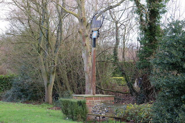
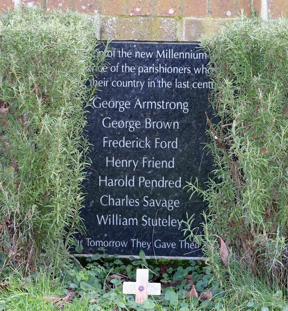
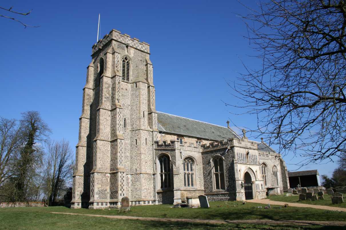
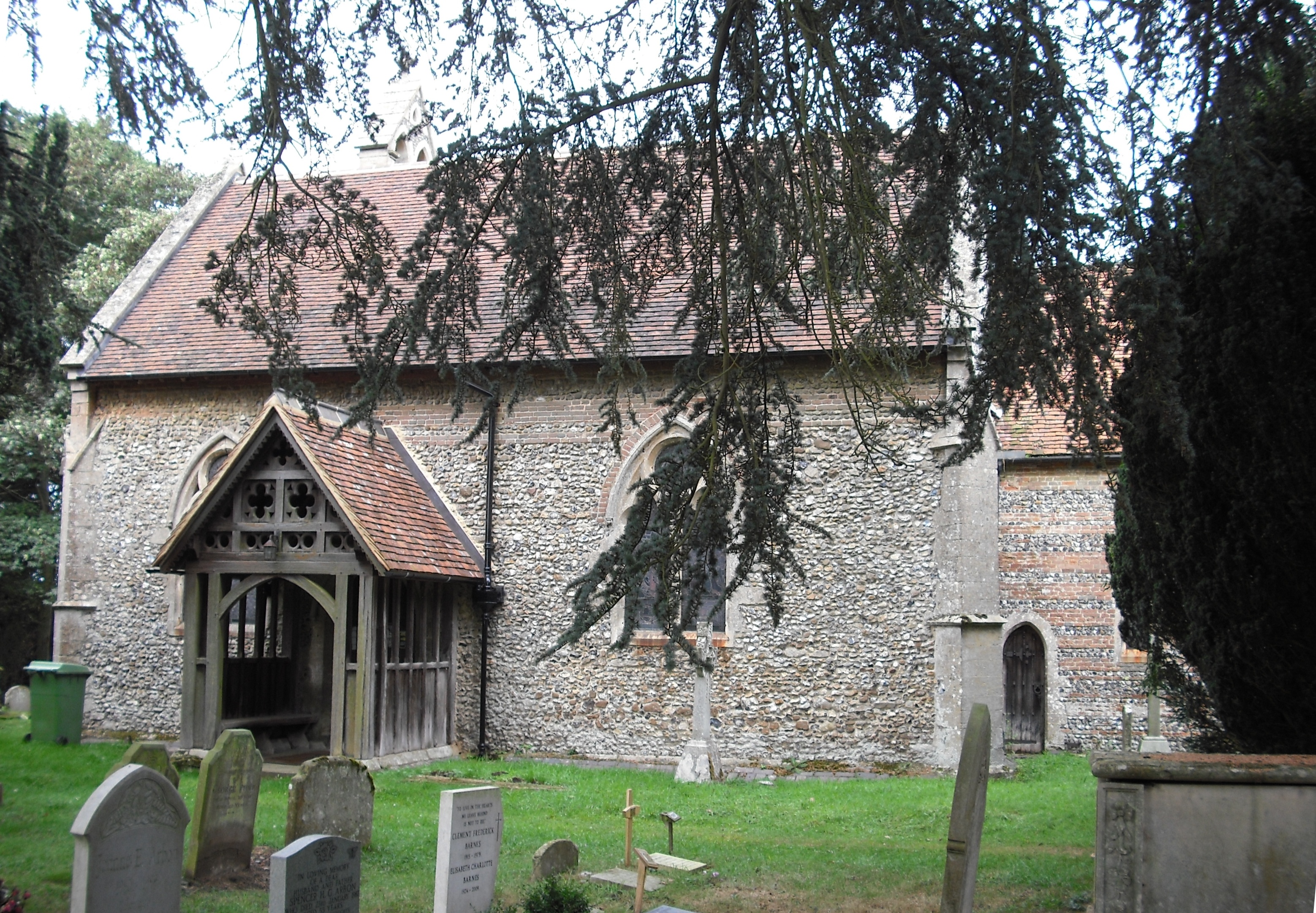
King's Grove Images
Images are sourced within 2km of 52.172739/0.79139223 or Grid Reference TL9056. Thanks to Geograph Open Source API. All images are credited.


King's Grove is located at Grid Ref: TL9056 (Lat: 52.172739, Lng: 0.79139223)
Administrative County: Suffolk
District: Babergh
Police Authority: Suffolk
What 3 Words
///deposits.tearfully.collision. Near Lavenham, Suffolk
Nearby Locations
Related Wikis

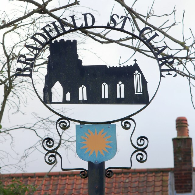
Bradfield St Clare
Bradfield St. Clare is a village and civil parish in the West Suffolk district of Suffolk, England. According to Eilert Ekwall, the meaning of the village...
Church of St Clare, Bradfield
The Church of St Clare, Bradfield is the Anglican parish church of Bradfield St Clare, in the district of West Suffolk, Suffolk. The original structure...

St Margaret's Church, Westhorpe
St Margaret's Church is the parish church of Westhorpe, Suffolk, England. It is part of the Badwell and Walsham Benefice. It is a Grade I listed building...

Bull's Wood
Bull's Wood is a 12 hectare nature reserve east of Cockfield in Suffolk, England. It is managed by the Suffolk Wildlife Trust, and is part of the Thorpe...
Cockfield, Suffolk
Cockfield is a village and civil parish located approximately 3+1⁄2 miles (5.6 km) from Lavenham in Suffolk, England. The village consists of a central...

Cockfield railway station
Cockfield railway station was on the Long Melford-Bury St Edmunds branch line in Cockfield, Suffolk. The station building still stands, but is in a semi...
Bradfield Combust
Bradfield Combust (or Burnt Bradfield) is a village and former manor and civil parish, now in the parish of Bradfield Combust with Stanningfield, the West...

Bradfield Woods
Bradfield Woods is an 81.4-hectare (201-acre) biological Site of Special Scientific Interest between Bury St Edmunds and Stowmarket in Suffolk. The site...
Nearby Amenities
Located within 500m of 52.172739,0.79139223Have you been to King's Grove?
Leave your review of King's Grove below (or comments, questions and feedback).