Downs Spinney
Wood, Forest in Essex Colchester
England
Downs Spinney
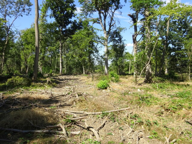
Downs Spinney is a small woodland located in Essex, England. It is situated in the area known as the Essex Woodlands, which is part of the larger Epping Forest. Spanning approximately 10 acres, Downs Spinney is a natural haven for wildlife and a popular destination for nature enthusiasts.
The woodland is characterized by a diverse range of tree species, including oak, beech, and birch. These trees create a dense canopy, providing shade and shelter to the various animals that call the spinney home. The forest floor is covered in a rich carpet of wildflowers, ferns, and mosses, adding to the beauty and biodiversity of the area.
Downs Spinney is crisscrossed by a network of walking trails, allowing visitors to explore and appreciate the natural surroundings. These pathways meander through the woodland, leading to picturesque clearings and tranquil ponds. The peaceful atmosphere of the spinney makes it an ideal spot for picnics, birdwatching, or simply enjoying a leisurely stroll.
The woodland is teeming with wildlife, with a wide range of bird species, including woodpeckers, thrushes, and owls. Small mammals such as squirrels and rabbits are also commonly spotted, while reptiles like slow worms and common lizards can be found basking in the sun.
Downs Spinney is managed by the local council, who work to preserve its natural beauty and protect its inhabitants. They also organize various educational events and guided walks to promote awareness and appreciation of the woodland's ecological importance.
In conclusion, Downs Spinney is a charming woodland in Essex, offering a peaceful retreat for both humans and animals alike. Its diverse flora and fauna, coupled with its well-maintained trails, make it a delightful destination for nature lovers.
If you have any feedback on the listing, please let us know in the comments section below.
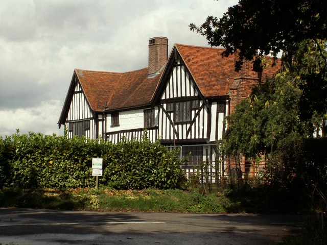
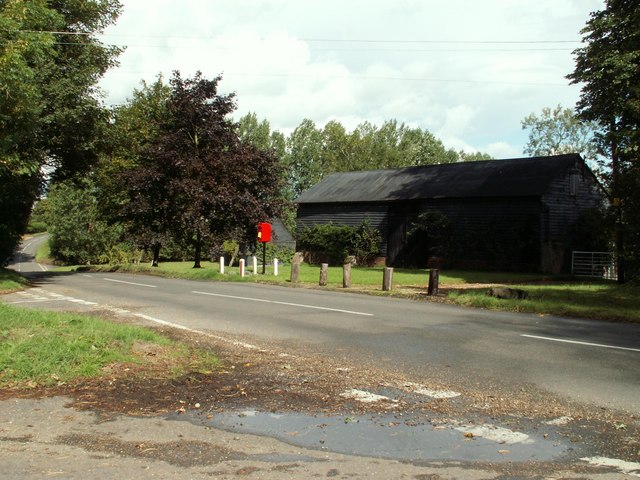
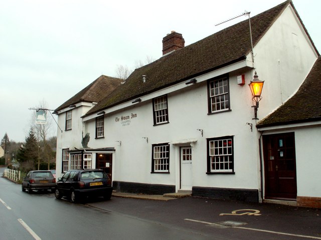
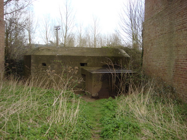
Downs Spinney Images
Images are sourced within 2km of 51.920748/0.76936959 or Grid Reference TL9028. Thanks to Geograph Open Source API. All images are credited.


Downs Spinney is located at Grid Ref: TL9028 (Lat: 51.920748, Lng: 0.76936959)
Administrative County: Essex
District: Colchester
Police Authority: Essex
What 3 Words
///fame.relieves.prude. Near Eight Ash Green, Essex
Nearby Locations
Related Wikis

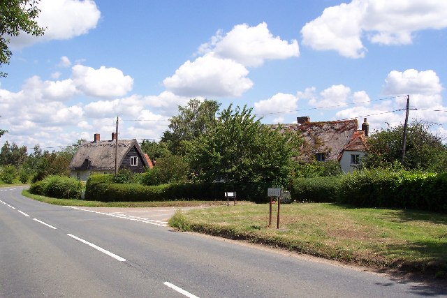
Rose Green, Essex
Rose Green is a hamlet on the A1124 road and the River Colne, near the village of Wakes Colne in the Colchester district, in the English county of Essex...
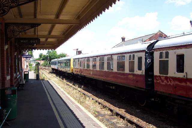
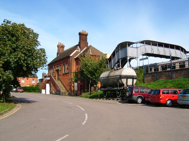
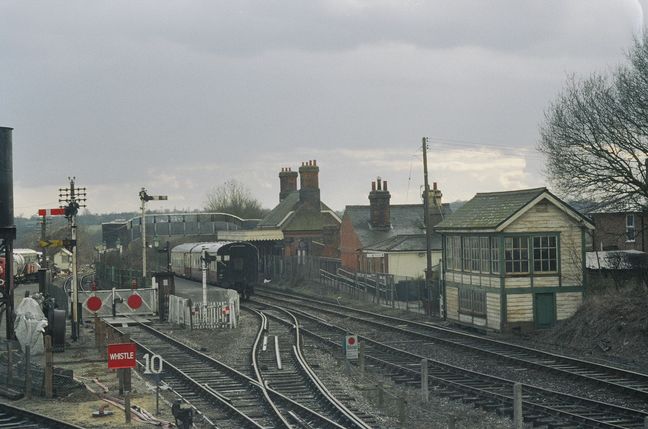
Chappel & Wakes Colne railway station
Chappel & Wakes Colne railway station is on the Gainsborough Line, a branch to Sudbury off the Great Eastern Main Line, in the East of England, serving...
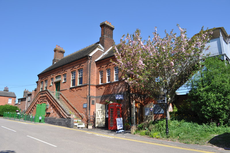
East Anglian Railway Museum
The East Anglian Railway Museum is located at Chappel and Wakes Colne railway station in Essex, England, which is situated on the former Great Eastern...

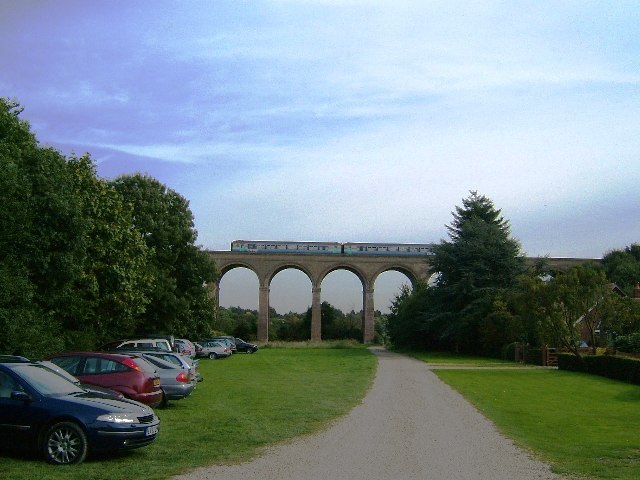
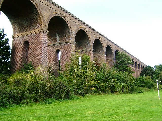
Chappel Viaduct
The Chappel Viaduct is a railway viaduct that crosses the River Colne in the Colne Valley in Essex, England. It carries the Gainsborough Line which now...

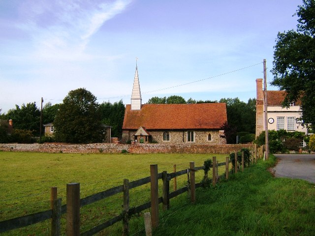
Wakes Colne
Wakes Colne is a village in Essex, England which sits on the River Colne. It is situated next to the village of Chappel, with which it shares Chappel and...
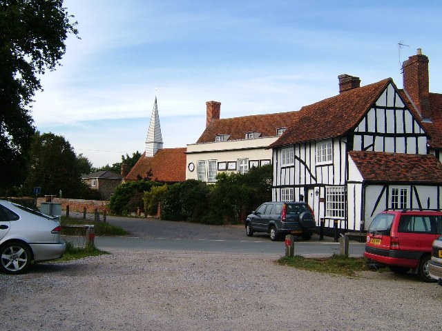
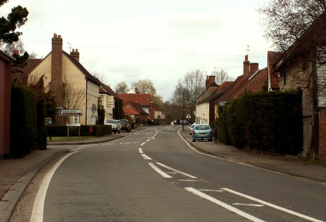
Chappel
Chappel is a village and civil parish in the City of Colchester district of Essex, England. The River Colne flows through the village. It is significant...

Hemp's Green
Hemp's Green or Hemps Green is a hamlet in the civil parish of Fordham, in the Colchester borough and the county of Essex, England. == Nearby == Hemp's...
Fordstreet
Fordstreet or Ford Street is a village on the A1124 road, in the civil parish of Aldham in the Colchester district in Essex, England. It is located on...
Nearby Amenities
Located within 500m of 51.920748,0.76936959Have you been to Downs Spinney?
Leave your review of Downs Spinney below (or comments, questions and feedback).