Foolow
Settlement in Derbyshire Derbyshire Dales
England
Foolow

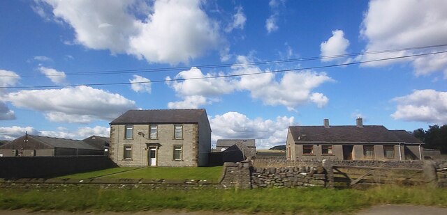
Foolow is a picturesque village located in the Derbyshire Dales, within the county of Derbyshire, England. Situated about 5 miles southwest of the market town of Bakewell, Foolow is a small, traditional English village known for its charming rural setting and natural beauty.
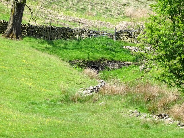
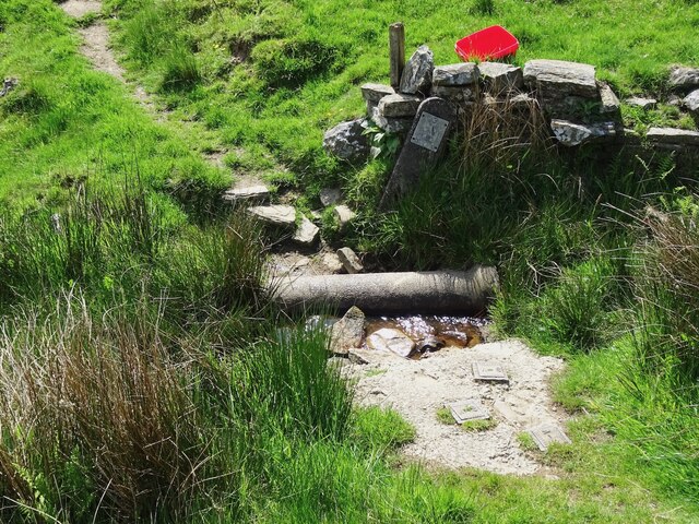
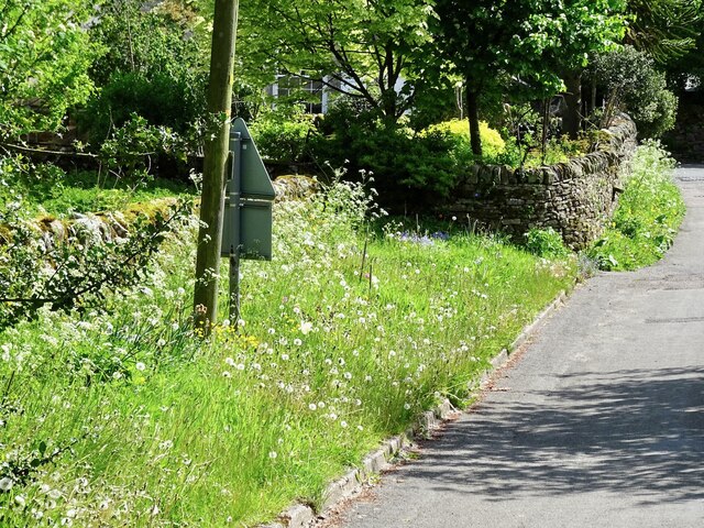
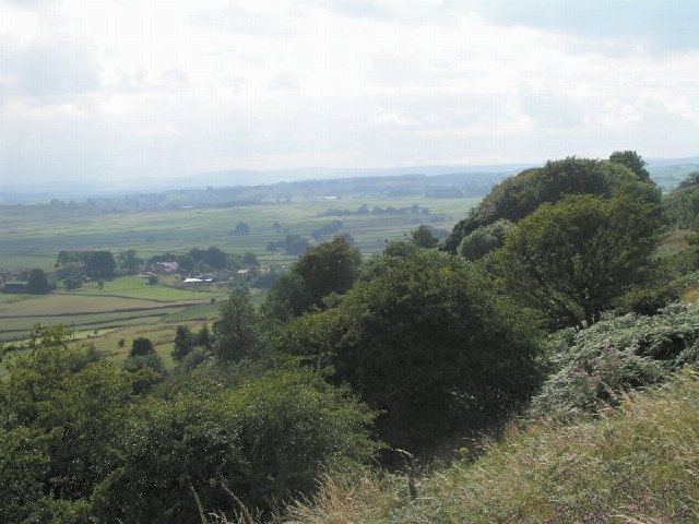
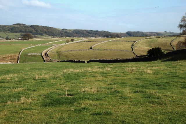
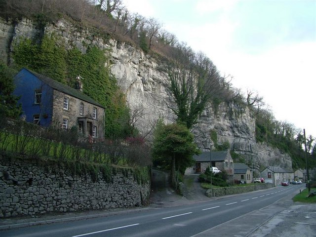
Nestled in the heart of the Peak District National Park, Foolow boasts stunning views of the surrounding countryside, with rolling hills, lush meadows, and quaint stone houses dotting the landscape. The village itself is characterized by its peaceful atmosphere and well-preserved historic buildings, many of which date back to the 17th and 18th centuries.
One of the notable landmarks in Foolow is the beautiful St. Hugh's Church, a Grade II* listed building that stands as a testament to the village's rich history. The church is known for its striking architecture, including a Norman doorway and a distinctive square tower.
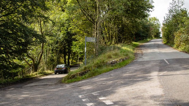
Foolow also offers a range of outdoor activities for visitors to enjoy. The village is a popular starting point for hiking and walking trails that lead through the stunning Peak District countryside. Nearby attractions include the picturesque Longshaw Estate and the historic Chatsworth House, both of which are within easy reach.
Although small in size, Foolow is a charming and idyllic village that offers visitors a tranquil escape from the bustle of modern life. With its stunning natural surroundings and rich history, Foolow is a hidden gem in the Derbyshire countryside, attracting nature lovers, history enthusiasts, and those seeking a peaceful retreat.
If you have any feedback on the listing, please let us know in the comments section below.
Foolow Images
Images are sourced within 2km of 53.288066/-1.715313 or Grid Reference SK1976. Thanks to Geograph Open Source API. All images are credited.


Foolow is located at Grid Ref: SK1976 (Lat: 53.288066, Lng: -1.715313)
Administrative County: Derbyshire
District: Derbyshire Dales
Police Authority: Derbyshire
What 3 Words
///grills.these.rollover. Near Tideswell, Derbyshire
Nearby Locations
Related Wikis
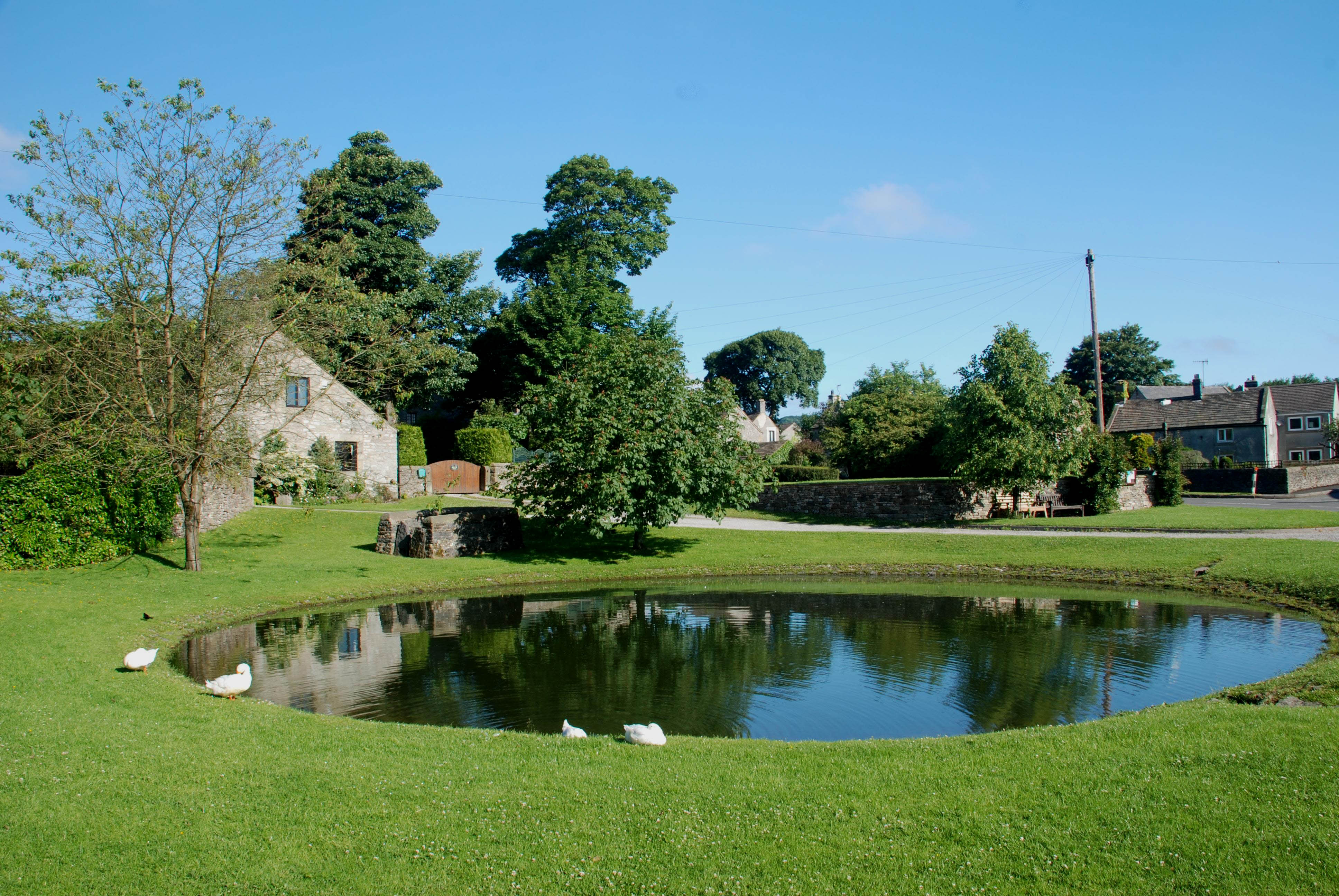
Foolow
Foolow (Old English possibly for "bird hill" or "colourful hill") is a village in the Derbyshire Peak District. == Village centre == The village green...

St Hugh's Church, Foolow
St Hugh's Church, Foolow is a Grade II listed parish church in the Church of England in Foolow, Derbyshire. == History == The church was opened on 17 November...
Brosterfield
Brosterfield is a hamlet in Derbyshire, England. It is located close to Foolow, where the road to that village joins the A623 road.

Grindlow
Grindlow is a farming hamlet of a dozen or so houses that nestles under Hucklow Edge in the Derbyshire Peak District. Although it is a separate civil parish...
Middleton Dale
Middleton Dale is a steep-sided, carboniferous limestone valley in the Derbyshire Peak District of England. The village of Stoney Middleton lies at the...

Bretton, Derbyshire
Bretton, Derbyshire is a hamlet in Derbyshire, England. Set on a ridge with a panoramic view, it has few inhabitants but boasts a pub called the Barrel...

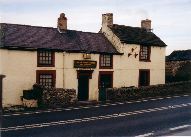
The Three Stags' Heads
The Three Stags' Heads is a Grade II listed public house in Wardlow Mires, Derbyshire, England.On the Campaign for Real Ale's National Inventory of Historic...

Great Hucklow
Great Hucklow (Old English Hucca's burial mound) is a village and civil parish in the Derbyshire Peak District which is under Hucklow Edge between the...
Nearby Amenities
Located within 500m of 53.288066,-1.715313Have you been to Foolow?
Leave your review of Foolow below (or comments, questions and feedback).