Lounds Wood
Wood, Forest in Norfolk Breckland
England
Lounds Wood

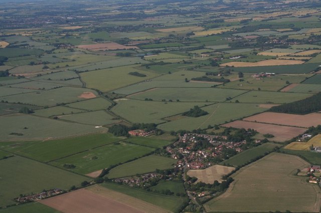
Lounds Wood is a picturesque woodland located in Norfolk, England. It is situated near the village of Lound and covers an area of approximately 80 acres. This ancient woodland is a mixture of both coniferous and deciduous trees, providing a diverse habitat for a wide range of flora and fauna.
The wood is known for its tranquil atmosphere and natural beauty, attracting visitors from near and far. It is a popular destination for nature enthusiasts, walkers, and birdwatchers who come to enjoy the peaceful surroundings and observe the various species of birds that inhabit the area.
Lounds Wood is home to a rich array of wildlife, including deer, foxes, badgers, and squirrels. The woodland floor is adorned with a carpet of bluebells in the spring, creating a stunning display of vibrant colors. The diverse range of tree species, including oak, beech, and pine, provides a dense canopy that shelters a multitude of smaller plants and animals.
There are several well-maintained trails that wind their way through the woodland, allowing visitors to explore the area at their leisure. These paths offer a chance to immerse oneself in nature and experience the peacefulness and serenity of the wood.
Lounds Wood is managed by the Norfolk Wildlife Trust, who work to preserve and protect the natural habitat within the wood. Their efforts ensure that the wood remains a haven for wildlife and a cherished natural resource for both locals and visitors alike.
If you have any feedback on the listing, please let us know in the comments section below.
Lounds Wood Images
Images are sourced within 2km of 52.742775/0.81629042 or Grid Reference TF9019. Thanks to Geograph Open Source API. All images are credited.


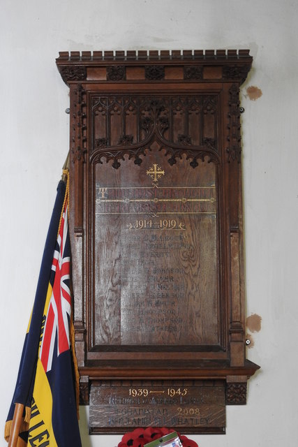
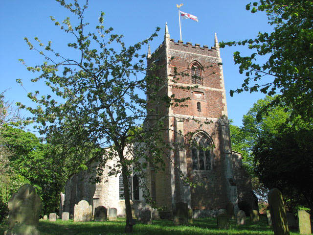
![Battlefield Cross of Private Lionel Kenelm Digby The cross bears the following words "R.I.P. - In Loving Memory of - 38456 Pte. L. K. DIGBY - 7th Norfolk Regiment - Killed in Action - October 20th 1918."
On the foot it records "Erected by IIII Hallamshires."
Although he was in the Norfolk Regiment he was fighting alongside the 4th Hampshires at the time he was killed.
Son of Reginald and Caroline Grace Digby, of Geashill Castle, King's Co. Rector of Tittleshall.
[The barons Digby were the largest landowners in King's County at the time, with 29,722 acres]
The Cross stands on what was the stairs to the Rood Loft against the north wall.](https://s2.geograph.org.uk/geophotos/06/61/02/6610262_0d82b17a.jpg)


Lounds Wood is located at Grid Ref: TF9019 (Lat: 52.742775, Lng: 0.81629042)
Administrative County: Norfolk
District: Breckland
Police Authority: Norfolk
What 3 Words
///bagpipes.lost.passage. Near North Elmham, Norfolk
Nearby Locations
Related Wikis
Grenstein
Grenstein, also known as Gramston or Greynston, was until approximately the 16th century a village in the English county of Norfolk, between Mileham and...

Mileham
Mileham is a village approximately midway between East Dereham and Fakenham in Mid Norfolk with a population of 563 people in 2011. The village sits astride...

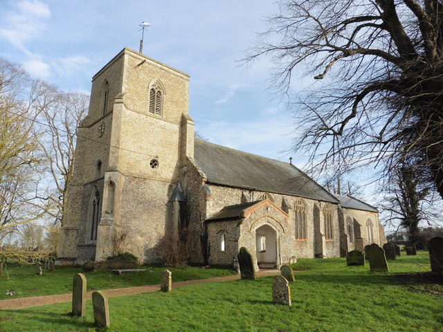
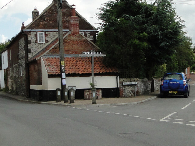
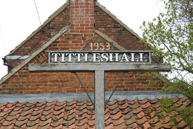
Tittleshall
Tittleshall is a village and civil parish in the English county of Norfolk. == Location == The village and parish of Tittleshall has an area of 1376 hectares...

Horse Wood, Mileham
Horse Wood, Mileham is a 7.1-hectare (18-acre) biological Site of Special Scientific Interest north-west of Dereham in Norfolk.This is an ancient coppice...
Godwick
Godwick is a deserted village in the county of Norfolk. Its location was south of Fakenham between the villages of Tittleshall and Whissonsett. There are...
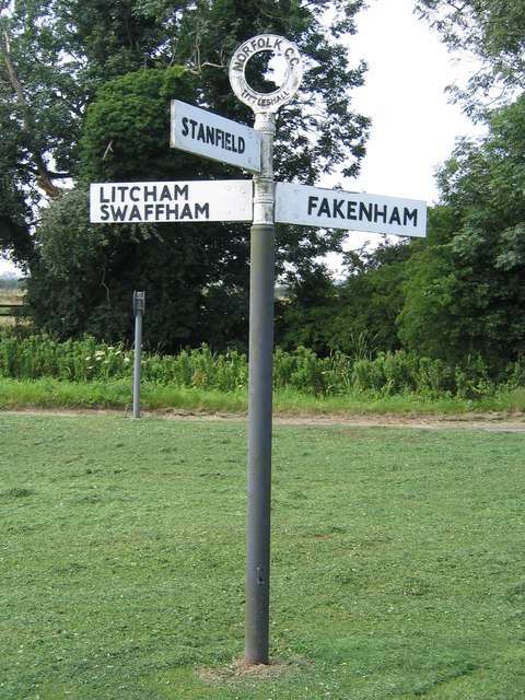
Litcham
Litcham is a village and civil parish in the English county of Norfolk. It is situated some 10 km (6.2 mi) north-east of the town of Swaffham and 40 km...

Litcham School
Litcham School is a mixed all-through school located in the village of Litcham in the English county of Norfolk. It has around 640 pupils aged 4–16 (Years...
Litcham Common
Litcham Common is a 24.9-hectare (62-acre) Local Nature Reserve in Norfolk. It is owned by Neil Foster, Lexham Estate, and managed by Norfolk County...
Nearby Amenities
Located within 500m of 52.742775,0.81629042Have you been to Lounds Wood?
Leave your review of Lounds Wood below (or comments, questions and feedback).