Blackcarr Belt

Wood, Forest in Suffolk West Suffolk

England

Blackcarr Belt

Euston watermill on the Black Bourn Disused watermill. Late C18/early C19. In red brick with black glazed pantiled roof: designed to look like a church, with a small crenellated tower. Pointed Gothic windows to top stage. The machinery is complete. The waterwheel drove a single pair of stones and also a reciprocating pump for raising water up to a tank in the tower, which provided the water supply for Euston Hall. A watermill was included in the estate as purchased by Lord Arlington in the 1660's: this is presumably a rebuilding on the same site. Copied from Historic England website <span class="nowrap"><a title="https://historicengland.org.uk/listing/the-list/list-entry/1031255" rel="nofollow ugc noopener" href="https://historicengland.org.uk/listing/the-list/list-entry/1031255">Link</a><img style="margin-left:2px;" alt="External link" title="External link - shift click to open in new window" src="https://s1.geograph.org.uk/img/external.png" width="10" height="10"/></span>
Euston watermill on the Black Bourn Credit: Adrian S Pye

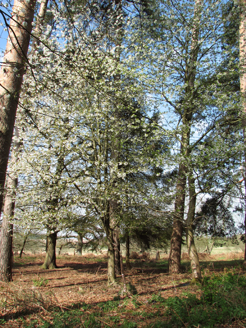
Blackcarr Belt is a picturesque woodland area located in the county of Suffolk, England. Nestled in the heart of the region, it is part of the larger Suffolk Woodland Forest, characterized by its dense vegetation, diverse fauna, and tranquil atmosphere.

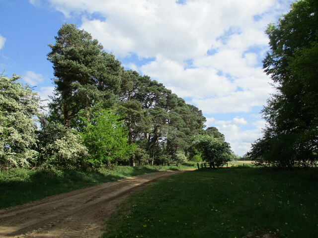
Covering an area of approximately 200 acres, Blackcarr Belt is known for its stunning natural beauty and is a popular destination for nature enthusiasts and wildlife lovers. The woodland is predominantly composed of majestic oak trees, but also features a variety of other tree species such as birch, beech, and ash. The dense canopy of the forest creates a cool and shaded environment, perfect for leisurely walks or exploring the hidden nooks and crannies.

The woodland is home to a rich array of wildlife. Visitors may spot various bird species, including woodpeckers, owls, and thrushes, as well as small mammals like squirrels and rabbits. Keen-eyed observers might even catch a glimpse of elusive deer or foxes that roam the area. The forest floor is covered in a thick carpet of moss and ferns, adding to the enchanting atmosphere.

Blackcarr Belt offers several walking trails, allowing visitors to experience the beauty of the woodland firsthand. The paths wind through the trees, offering glimpses of sun-dappled glades and babbling brooks. Guided nature walks and educational programs are also available for those interested in learning more about the local flora and fauna.

Overall, Blackcarr Belt in Suffolk is a captivating woodland that offers a serene and immersive experience in nature. Whether you are seeking tranquility, wildlife encounters, or simply a scenic stroll, this enchanting forest has something to offer for everyone.

If you have any feedback on the listing, please let us know in the comments section below.

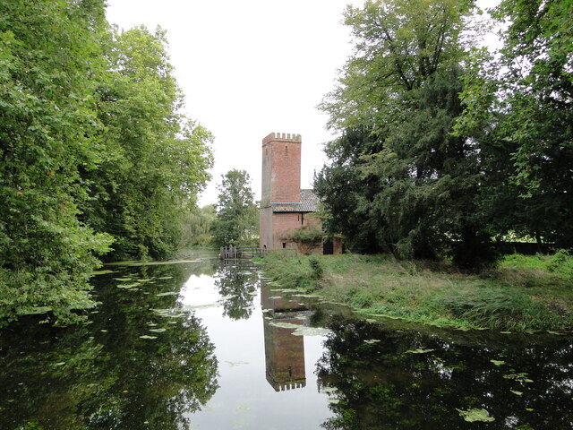
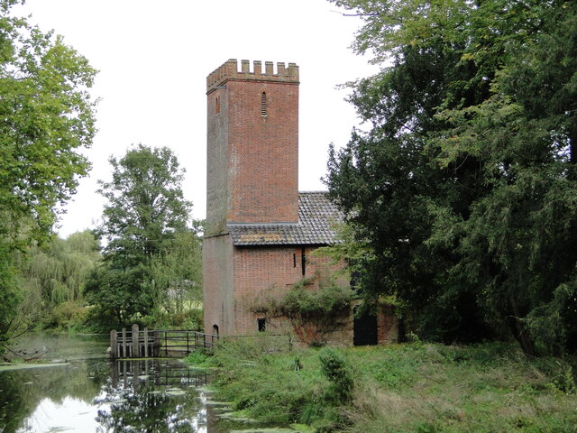
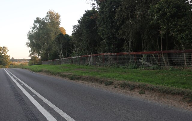
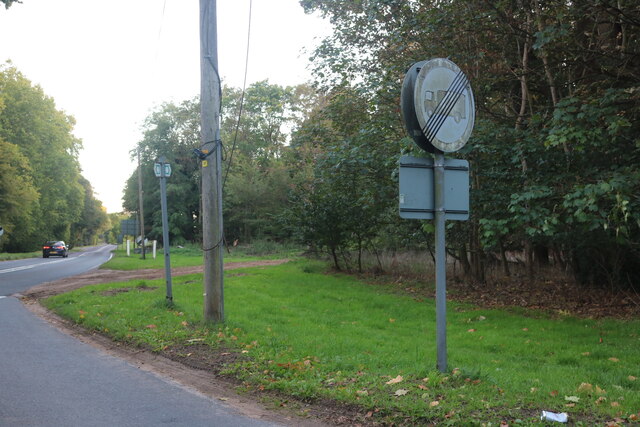
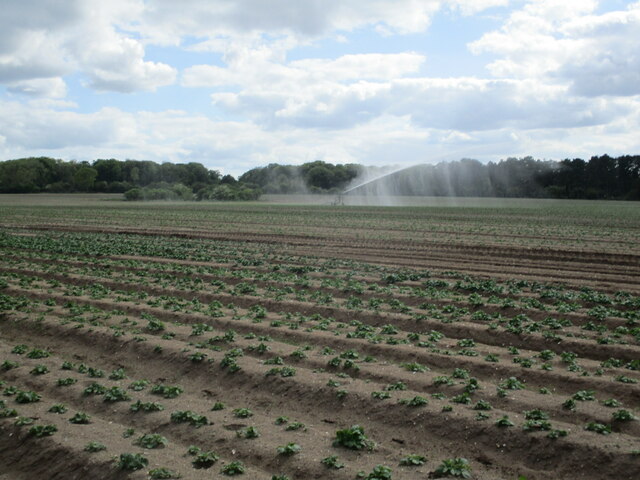
Blackcarr Belt Images

Images are sourced within 2km of 52.381792/0.7912517 or Grid Reference TL9079. Thanks to Geograph Open Source API. All images are credited.

Euston watermill on the Black Bourn Disused watermill. Late C18/early C19. In red brick with black glazed pantiled roof: designed to look like a church, with a small crenellated tower. Pointed Gothic windows to top stage. The machinery is complete. The waterwheel drove a single pair of stones and also a reciprocating pump for raising water up to a tank in the tower, which provided the water supply for Euston Hall. A watermill was included in the estate as purchased by Lord Arlington in the 1660's: this is presumably a rebuilding on the same site. Copied from Historic England website <span class="nowrap"><a title="https://historicengland.org.uk/listing/the-list/list-entry/1031255" rel="nofollow ugc noopener" href="https://historicengland.org.uk/listing/the-list/list-entry/1031255">Link</a><img style="margin-left:2px;" alt="External link" title="External link - shift click to open in new window" src="https://s1.geograph.org.uk/img/external.png" width="10" height="10"/></span>
Euston watermill on the Black Bourn
Disused watermill. Late C18/early C19. In red brick with black glazed pantiled roof: designed to look like a church, with a small crenellated tower. Pointed Gothic windows to top stage. The machinery is complete. The waterwheel drove a single pair of stones and also a reciprocating pump for raising water up to a tank in the tower, which provided the water supply for Euston Hall. A watermill was included in the estate as purchased by Lord Arlington in the 1660's: this is presumably a rebuilding on the same site. Copied from Historic England website LinkExternal link
Euston watermill on the Black Bourn Disused watermill. Late C18/early C19. In red brick with black glazed pantiled roof: designed to look like a church, with a small crenellated tower. Pointed Gothic windows to top stage. The machinery is complete. The waterwheel drove a single pair of stones and also a reciprocating pump for raising water up to a tank in the tower, which provided the water supply for Euston Hall. A watermill was included in the estate as purchased by Lord Arlington in the 1660's: this is presumably a rebuilding on the same site. Copied from Historic England website  <span class="nowrap"><a title="https://historicengland.org.uk/listing/the-list/list-entry/1031255" rel="nofollow ugc noopener" href="https://historicengland.org.uk/listing/the-list/list-entry/1031255">Link</a><img style="margin-left:2px;" alt="External link" title="External link - shift click to open in new window" src="https://s1.geograph.org.uk/img/external.png" width="10" height="10"/></span>
Euston watermill on the Black Bourn
Disused watermill. Late C18/early C19. In red brick with black glazed pantiled roof: designed to look like a church, with a small crenellated tower. Pointed Gothic windows to top stage. The machinery is complete. The waterwheel drove a single pair of stones and also a reciprocating pump for raising water up to a tank in the tower, which provided the water supply for Euston Hall. A watermill was included in the estate as purchased by Lord Arlington in the 1660's: this is presumably a rebuilding on the same site. Copied from Historic England website LinkExternal link
Vintage covered cart Of the type used as an ambulance in WW1
Vintage covered cart
Of the type used as an ambulance in WW1
Old fuel pump still in use
Thetford Road, Euston
Barnham Road at the junction of Thetford Road
Byway near Rushford
Byway near Rushford
Irrigating potatoes near Rushford
The end of a byway near Rushford
Byway and potato field near Rushford
On the edge of Ashfen Carr
View along Rushford Road
Scrubby land in Rushfordroad Belt
Farm track and tractor cultivating the land
Rushford Road and The Rushfordroad Belts either side
The Rushfordroad Belts
In the Rushfordroad Belts A strip wood/windbreak on both sides of Rushford Road.
In the Rushfordroad Belts
A strip wood/windbreak on both sides of Rushford Road.
Flowering tree in the Rushfordroad Belts A windbreak on both sides of Rushford Road.
Flowering tree in the Rushfordroad Belts
A windbreak on both sides of Rushford Road.
Show me another place!

Blackcarr Belt is located at Grid Ref: TL9079 (Lat: 52.381792, Lng: 0.7912517)

Administrative County: Suffolk

District: West Suffolk

Police Authority: Suffolk

What 3 Words

///hems.lamp.erupt. Near Thetford, Norfolk

Related Wikis

Euston, Suffolk

Euston is a village and civil parish in the West Suffolk district of Suffolk in eastern England. Located on the A1088 around two miles south of Thetford...

Euston Hall

Euston Hall is a country house, with park by William Kent and Capability Brown, located in Euston, a small village in Suffolk located just south of Thetford...

Barnham Heath

Barnham Heath is a 78.6-hectare (194-acre) biological Site of Special Scientific Interest near Barnham, a village south of Thetford in Suffolk. It is a...

Barnham, Suffolk

Barnham is a village and civil parish in the West Suffolk district of the English county of Suffolk about 3 miles (4.8 km) south of Thetford and 9 miles...

Rushford, Norfolk

Rushford is a small village in the English county of Norfolk. It is situated on the north bank of the River Little Ouse, 3+1⁄2 miles (5.6 km) east of the...

Fakenham Magna

Fakenham Magna (or Great Fakenham) is a village and civil parish in the West Suffolk district of Suffolk in eastern England. The meaning of the word 'Fakenham...

Barnham Windmill, Suffolk

Barnham Mill is a tower mill at Barnham, Suffolk, England which has been converted to residential accommodation. == History == Barnham Mill was built for...

Brandon Rural District

Brandon was a rural district in Suffolk, England from 1894 to 1935. The district was created in 1894 as the Suffolk part of the Thetford rural sanitary...

Nearby Amenities

Located within 500m of 52.381792,0.7912517
Parking
Created By: Potlatch 0.5d
Lat/Long: 52.3791493/0.7855711
Telephone Box
Naptan AtcoCode: 390020368
Naptan Bearing: NW
Naptan BusStopType: CUS
Naptan CommonName: Telephone Box
Naptan Indicator: o/s
Naptan Landmark: Telephone Box
Naptan NaptanCode: sufjdtdp
Naptan Street: The Street
Naptan Verified: no
Source: naptan_import
Lat/Long: 52.3792914/0.785729
Telephone Box
Naptan AtcoCode: 390020369
Naptan Bearing: SE
Naptan BusStopType: CUS
Naptan CommonName: Telephone Box
Naptan Indicator: opp
Naptan Landmark: Telephone Box
Naptan NaptanCode: sufjdtdt
Naptan Street: The Street
Naptan Verified: no
Source: naptan_import
Lat/Long: 52.3793323/0.7858226
Recycling
Recycling Glass: yes
Lat/Long: 52.3798664/0.7858872
Post Box
Collection Times: Mo-Fr 15:45; Sa 10:00
Post Box Type: lamp
Ref: IP24 3280
Ref GB Uprn: 10015309560
Royal Cypher: EIIR
Royal Cypher Wikidata: Q33102113
Lat/Long: 52.3794847/0.7862977
Booth: K6
Listed Status: Grade II
Removed Amenity: telephone
Lat/Long: 52.3792407/0.7857584
Grange Farm
Place: farm
Source: NLS-OS-1st_Series
Lat/Long: 52.3791785/0.7853449
Addr Housenumber: 4
Addr Street: The Street
Addr Village: Euston
Lat/Long: 52.378976/0.7866849
Description: This is a black pipe sticking up out of the ground with a number painted at its top which ends "7124". There are a few linear features between it and a place to the north on Thetford Road where the NTS gas is, but this pipe is not part of the NTS.
Marker: capped_pipe
Utility: yes
Lat/Long: 52.3821539/0.7940964
Colour: blue
Marker: yes
Material: concrete
Utility: yes
Lat/Long: 52.3811434/0.7900299
Bench
Backrest: yes
Lat/Long: 52.3794102/0.7859963
The Hat House of Euston
Shop: hat
Lat/Long: 52.379519/0.7863419
Speed Display
Direction: NW
Lat/Long: 52.3798342/0.785033
The data included in this document is from www.openstreetmap.org. The data is made available under ODbL.

Have you been to Blackcarr Belt?

Leave your review of Blackcarr Belt below (or comments, questions and feedback).