Fonston
Settlement in Cornwall
England
Fonston

Fowey, also known as Fonston, is a picturesque small town located on the south coast of Cornwall, England. Nestled on the estuary of the River Fowey, it offers stunning views of the surrounding countryside and the English Channel. With a population of around 2,300, Fowey is a charming destination that attracts both locals and tourists alike.
The town's history dates back to the medieval period and it has served as an important trading port for centuries. Today, Fowey maintains its maritime heritage and is a popular spot for sailing enthusiasts. Visitors can witness the bustling activity of the harbor, with colorful fishing boats and yachts dotting the water.
Fowey is renowned for its beautiful natural landscape, with rolling hills and lush greenery. The town also boasts a number of sandy beaches and secluded coves, making it an ideal destination for beach lovers. One of the most famous landmarks in Fowey is St. Catherine's Castle, a 16th-century fortification that offers panoramic views of the town and the river.
The town is also known for its literary connections, as it was the inspiration for many of Daphne du Maurier's novels. Fowey hosts an annual literary festival, celebrating the works of du Maurier and other renowned authors.
Fowey offers a range of amenities, including quaint shops, art galleries, and traditional pubs. It is also home to several restaurants serving delicious seafood, reflecting the town's coastal location.
Overall, Fowey is a charming Cornish town that combines natural beauty, rich history, and a vibrant community, making it a must-visit destination for travelers seeking a quintessential English coastal experience.
If you have any feedback on the listing, please let us know in the comments section below.
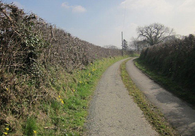
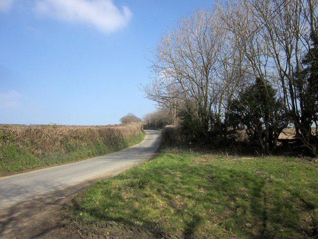
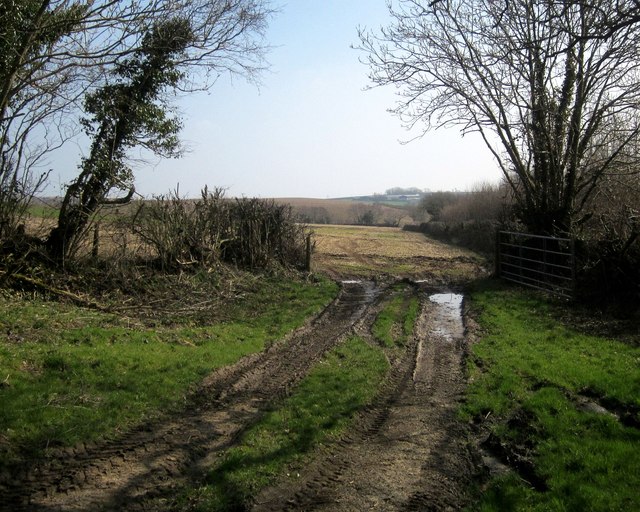
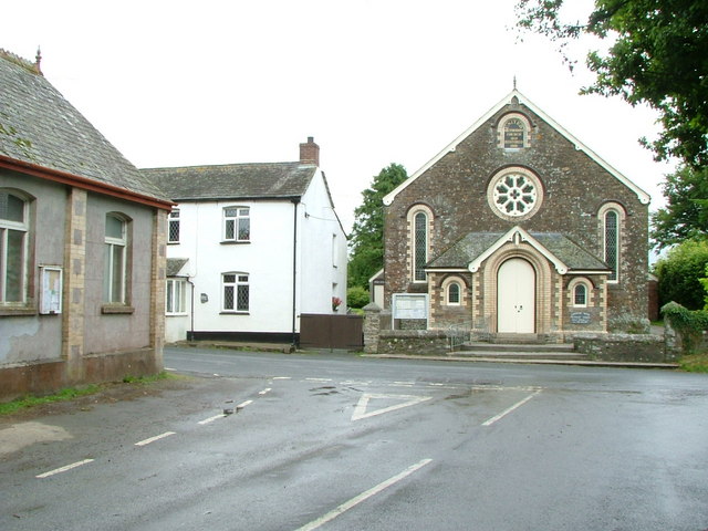
Fonston Images
Images are sourced within 2km of 50.692724/-4.529839 or Grid Reference SX2191. Thanks to Geograph Open Source API. All images are credited.


Fonston is located at Grid Ref: SX2191 (Lat: 50.692724, Lng: -4.529839)
Unitary Authority: Cornwall
Police Authority: Devon and Cornwall
What 3 Words
///soda.digestion.shoelaces. Near Jacobstow, Cornwall
Nearby Locations
Related Wikis

Fonston
Fonston is a hamlet 8 miles (13 km) north-west of Launceston in Cornwall, England. Fonston lies at around 495 metres (1,624 ft) above sea level on the...
Canworthy Water
Canworthy Water (Cornish: Boskarn) is a settlement in northeast Cornwall, England, United Kingdom. It is situated beside the River Ottery at OS grid ref...
Downinney
Downinney is a hamlet in the civil parish of Warbstow, Cornwall, England. Downinney was recorded in the Domesday Book, 1086: there was land for 12 ploughs...
Warbstow
Warbstow (Cornish: Lannwarburgh) is a village and civil parish in Cornwall, England, United Kingdom. The parish has a population of 439 according to the...
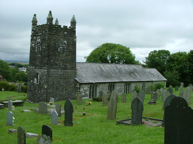
St Werburgh's Church, Warbstow
St Werburgh's Church, Warbstow is a Grade II* listed parish church in the Church of England in Warbstow, Cornwall. == History == Both the neighbouring...

Warbstow Bury
Warbstow Bury is an Iron Age hillfort about 0.5 miles (0.80 km) west of the village of Warbstow, in Cornwall, England. It is a scheduled monument. ��2...

Trelash
Trelash is a hamlet in the civil parish of Warbstow, Cornwall, England, United Kingdom. == References == == External links == Media related to Trelash...

Treneglos
Treneglos (Cornish: Treneglos) is a village and a civil parish in north-east Cornwall, England, United Kingdom. It is in the Registration District of Launceston...
Have you been to Fonston?
Leave your review of Fonston below (or comments, questions and feedback).