Dryclose Plantation
Wood, Forest in Norfolk Breckland
England
Dryclose Plantation
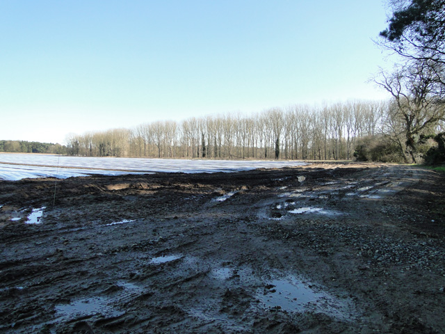
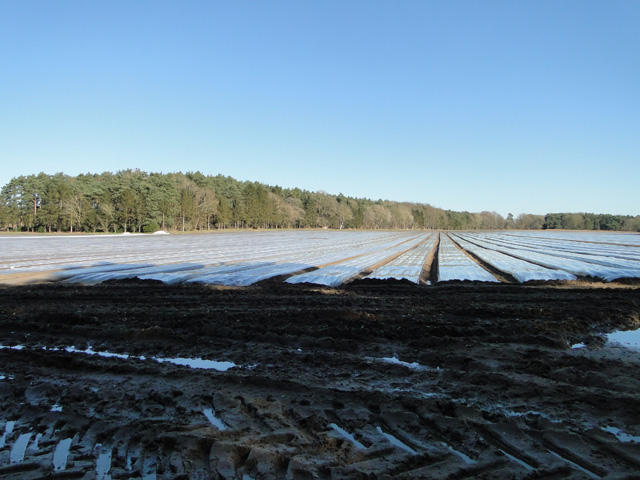
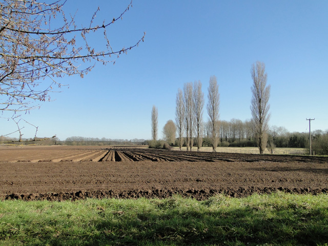
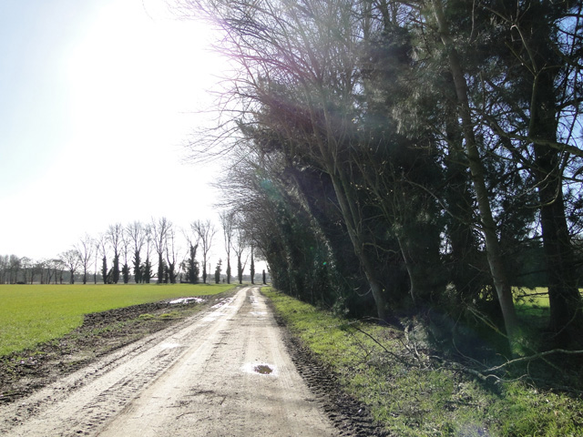
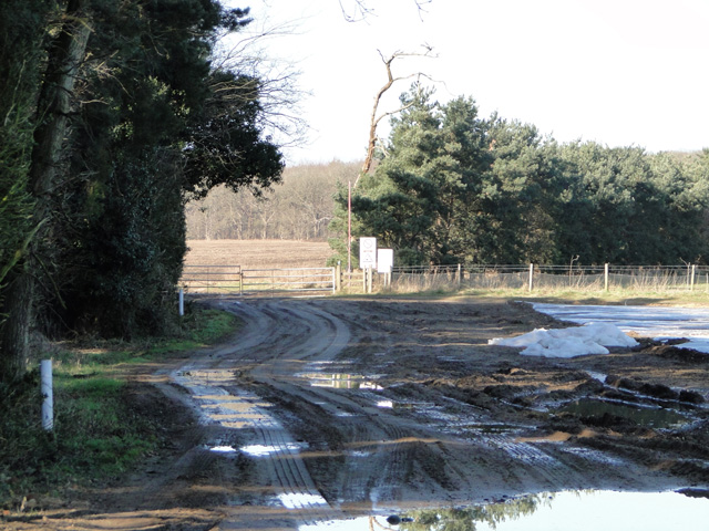
Dryclose Plantation is a picturesque woodland located in Norfolk, England. This beautiful plantation covers an area of approximately 100 acres, offering a tranquil escape for nature enthusiasts and outdoor enthusiasts alike. The plantation is situated on gently sloping terrain, with a mixture of coniferous and deciduous trees creating a diverse and vibrant landscape.
The woodland is predominantly made up of mature oak and beech trees, which provide a dense canopy that filters sunlight and creates a cool and shaded environment below. This makes it an ideal habitat for a wide variety of flora and fauna. Bluebells, wild garlic, and foxgloves can be found carpeting the forest floor during the spring months, creating a stunning display of color and fragrance.
Dryclose Plantation is home to an array of wildlife, including deer, foxes, badgers, and a multitude of bird species. Birdwatchers can spot woodpeckers, owls, and various songbirds flitting through the treetops. The plantation also boasts several ponds and streams, attracting amphibians such as frogs and newts.
For outdoor enthusiasts, Dryclose Plantation offers a network of well-maintained trails, allowing visitors to explore the woodland on foot or by bicycle. These trails meander through the plantation, offering scenic views and opportunities to observe the natural beauty up close. The plantation is also a popular destination for picnickers and families, with designated areas providing picnic tables and benches.
Overall, Dryclose Plantation is a true gem in Norfolk's landscape, offering a serene and enchanting experience for those seeking a connection with nature.
If you have any feedback on the listing, please let us know in the comments section below.
Dryclose Plantation Images
Images are sourced within 2km of 52.483711/0.79375487 or Grid Reference TL8990. Thanks to Geograph Open Source API. All images are credited.


Dryclose Plantation is located at Grid Ref: TL8990 (Lat: 52.483711, Lng: 0.79375487)
Administrative County: Norfolk
District: Breckland
Police Authority: Norfolk
What 3 Words
///attic.called.bookings. Near Thetford, Norfolk
Nearby Locations
Related Wikis

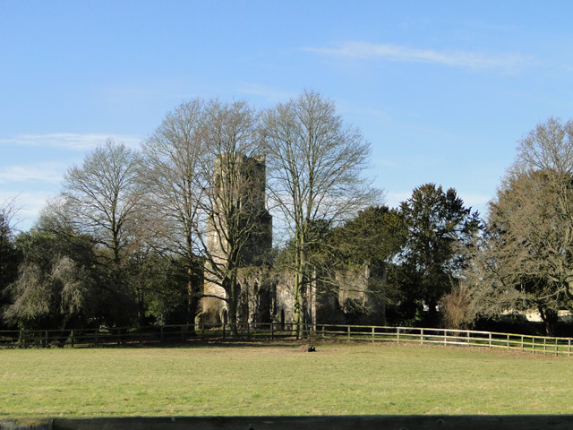
Wretham Park Meres
Wretham Park Meres is a 30-hectare (74-acre) biological Site of Special Scientific Interest north of Thetford in Norfolk. This site consists of four natural...

Wretham
Wretham is a civil parish in the Breckland district of Norfolk, England. The parish includes the village of East Wretham, which is about 6 miles (10 km...

Battle of Ringmere
The Battle of Ringmere was fought on 5 May 1010. Norse sagas recorded a battle at Hringmaraheiðr; Old English Hringmere-hǣð, modern name Ringmere Heath...
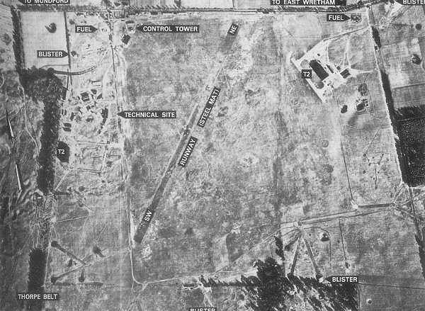
RAF East Wretham
Royal Air Force East Wretham or more simply RAF East Wretham is a former Royal Air Force station located 6 miles (9.7 km) northeast of Thetford, Norfolk...
Nearby Amenities
Located within 500m of 52.483711,0.79375487Have you been to Dryclose Plantation?
Leave your review of Dryclose Plantation below (or comments, questions and feedback).