Elderstub Wood

Wood, Forest in Suffolk West Suffolk

England

Elderstub Wood

Stationary traffic, A14, Millfield Plantation Traffic was backed up from a multi-vehicle collision a mile further on.
Stationary traffic, A14, Millfield Plantation Credit: Christopher Hilton

Elderstub Wood is a picturesque woodland located in the county of Suffolk, England. Covering an area of approximately 100 acres, this enchanting forest is a popular destination for nature lovers and outdoor enthusiasts alike. The wood is situated near the village of Elderstub, which lends its name to the woodland.

Elderstub Wood is characterized by its diverse range of tree species, including oak, birch, beech, and ash, creating a rich and vibrant tapestry of colors throughout the year. The forest floor is adorned with an array of wildflowers, adding to the beauty of the surroundings. The wood is also home to a variety of wildlife, such as deer, rabbits, foxes, and numerous bird species, making it a haven for wildlife enthusiasts and birdwatchers.

Visitors to Elderstub Wood can enjoy a network of walking trails, allowing them to explore the wood at their own pace. These trails meander through the ancient trees, providing glimpses of tranquil meadows and babbling brooks along the way. The wood also features a picnic area, where visitors can relax and enjoy a meal amidst the peaceful ambiance of the forest.

Elderstub Wood is a place of natural beauty and tranquility, offering a respite from the hustle and bustle of everyday life. Whether it's a leisurely stroll, a wildlife-spotting adventure, or a peaceful picnic, this woodland provides an idyllic setting for visitors to immerse themselves in nature and discover the wonders of the Suffolk countryside.

If you have any feedback on the listing, please let us know in the comments section below.

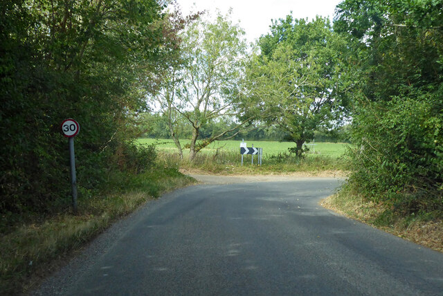
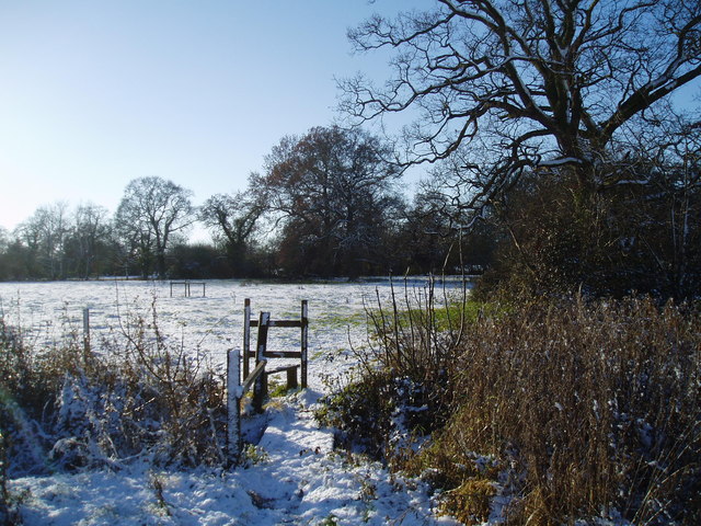
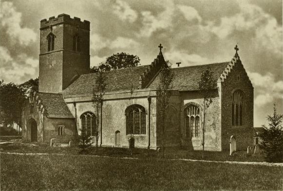
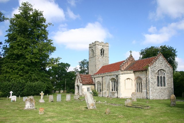
Elderstub Wood Images

Images are sourced within 2km of 52.224823/0.77707202 or Grid Reference TL8962. Thanks to Geograph Open Source API. All images are credited.

Stationary traffic, A14, Millfield Plantation Traffic was backed up from a multi-vehicle collision a mile further on.
Stationary traffic, A14, Millfield Plantation
Traffic was backed up from a multi-vehicle collision a mile further on.
Eastlow Hill, Rougham Looking east.
Eastlow Hill, Rougham
Looking east.
Bend on Moat Lane, Rougham The moat is at Moat Farm, a bit further back.
Bend on Moat Lane, Rougham
The moat is at Moat Farm, a bit further back.
A footpath that leads through hotel grounds
Poplars Along New Road The west side of New Road,Rougham, south of the junction with Church Road.
Poplars Along New Road
The west side of New Road,Rougham, south of the junction with Church Road.
Stubble Field The footpath on the left leads from Church Road to Moat Lane. The trees in the middle of the field surround the small pond shown on the 1:25000 map.
Stubble Field
The footpath on the left leads from Church Road to Moat Lane. The trees in the middle of the field surround the small pond shown on the 1:25000 map.
Fields Beside Church Road, Rougham Looking south from Church Road
Fields Beside Church Road, Rougham
Looking south from Church Road
Footpath from Rougham Green to Kingshall Street The houses in the background are on Kingshall Street
Footpath from Rougham Green to Kingshall Street
The houses in the background are on Kingshall Street
Stile on the footpath to Eastlow Hill
Pollarded Oak Trees There are several old pollarded oak trees in this meadow at Rougham Green.
Pollarded Oak Trees
There are several old pollarded oak trees in this meadow at Rougham Green.
Autumn Colours The oak trees didn't lose their leaves until mid December. The houses in the distance are at Newthorpe and The Downs.
Autumn Colours
The oak trees didn't lose their leaves until mid December. The houses in the distance are at Newthorpe and The Downs.
Muddy Farm Track Rushbrooke Wood is in the distance.
Muddy Farm Track
Rushbrooke Wood is in the distance.
Colville's Grove and Kingshall Farm
Footpath from Kingshall Street to Rougham Green
Poppies at Newthorpe The tower of Rougham church is just visible through the trees on the far left.
Poppies at Newthorpe
The tower of Rougham church is just visible through the trees on the far left.
Avenue of Lime Trees, Rougham The avenue originally lead from Rougham Hall to the church.
Avenue of Lime Trees, Rougham
The avenue originally lead from Rougham Hall to the church.
St Mary's Church, Rougham Seen from the lime tree avenue.
St Mary's Church, Rougham
Seen from the lime tree avenue.
Meadow at Rougham The foreground trees are at the end of the lime tree avenue, which at one time extended from Rougham Hall to the church. The land beyond the fence is Rougham Hall Nursery, and the lorries are travelling east on the A14. The buildings of Home Farm can be seen through the trees behind them, and the ruins of Rougham Hall are in the woods beyond.
Meadow at Rougham
The foreground trees are at the end of the lime tree avenue, which at one time extended from Rougham Hall to the church. The land beyond the fence is Rougham Hall Nursery, and the lorries are travelling east on the A14. The buildings of Home Farm can be seen through the trees behind them, and the ruins of Rougham Hall are in the woods beyond.
Show me another place!

Elderstub Wood is located at Grid Ref: TL8962 (Lat: 52.224823, Lng: 0.77707202)

Administrative County: Suffolk

District: West Suffolk

Police Authority: Suffolk

What 3 Words

///permit.profile.sweetly. Near Thurston, Suffolk

Nearby Locations

Kiln Grove Elderstub Wood

Related Wikis

Rushbrooke with Rougham

Rushbrooke with Rougham is a large civil parish in the West Suffolk district of Suffolk in eastern England covering the villages of Blackthorpe, Rougham...

Rushbrooke, West Suffolk

Rushbrooke is a village and former civil parish on the River Lark, 20 miles (32 km) north west of Ipswich, now in the parish of Rushbrooke with Rougham...
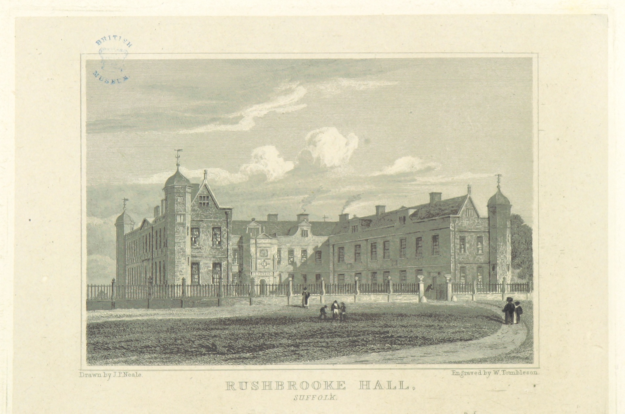
Rushbrooke Hall

Rushbrooke Hall was a British stately home in Rushbrooke, Suffolk. For several hundred years it was the family seat of the Jermyn family. It was demolished...

Rougham, Suffolk

Rougham is a village and former civil parish 19 miles (31 km) north west of Ipswich, now in the parish of Rushbrooke with Rougham, in the West Suffolk...

Thedwastre Hundred

Thedwastre (also Thedwestry) was a hundred of the county of Suffolk, England covering an area of 40,362 acres (163.34 km2). It formed part of the Liberty...

Little Whelnetham

Little Whelnetham (well-NEE-thum) (sometimes Little Welnetham) is a village and civil parish in the West Suffolk district of Suffolk in eastern England...
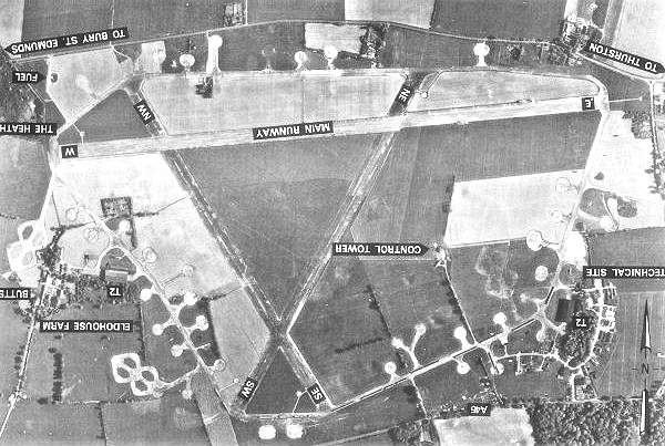
Rougham Airfield

Rougham Airfield, formerly Royal Air Force Bury St Edmunds or more simply RAF Bury St Edmunds is a former Royal Air Force station located 3 miles (4.8...

Sicklesmere

Sicklesmere is a village in Suffolk, England. Located on the A134 around a mile south of Bury St Edmunds, the village is divided between the civil parishes...

Nearby Amenities

Located within 500m of 52.224823,0.77707202
Power: tower
Lat/Long: 52.223281/0.7756625
Power: tower
Lat/Long: 52.2206556/0.7763169
Power: tower
Lat/Long: 52.222118/0.7724974
Power: tower
Lat/Long: 52.2262634/0.7704343
Power: tower
Lat/Long: 52.2243611/0.7737849
Power: tower
Lat/Long: 52.2253571/0.772012
Power: tower
Lat/Long: 52.2233978/0.7778697
Power: pole
Lat/Long: 52.2224218/0.7822771
Power: tower
Lat/Long: 52.2235781/0.7824186
Power: pole
Lat/Long: 52.2234849/0.7824193
Power: tower
Lat/Long: 52.2234788/0.7801603
The data included in this document is from www.openstreetmap.org. The data is made available under ODbL.

Have you been to Elderstub Wood?

Leave your review of Elderstub Wood below (or comments, questions and feedback).