Knock Wood
Wood, Forest in Kent Ashford
England
Knock Wood

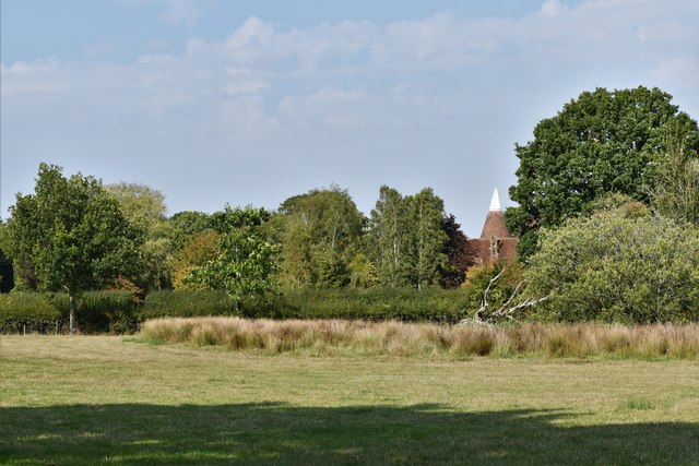
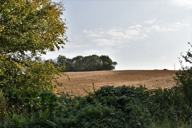
Knock Wood, Kent, also known as Wood or Forest, is a small village located in the southeastern county of Kent, England. Situated amidst the picturesque Kent Downs, this village is renowned for its lush greenery, scenic landscapes, and tranquil surroundings.
With a population of around 500 residents, Knock Wood is a close-knit community that offers a peaceful escape from the bustling city life. The village is primarily residential, with charming cottages and houses dotting the landscape. The architecture reflects the traditional English countryside style, adding to the village's quaint charm.
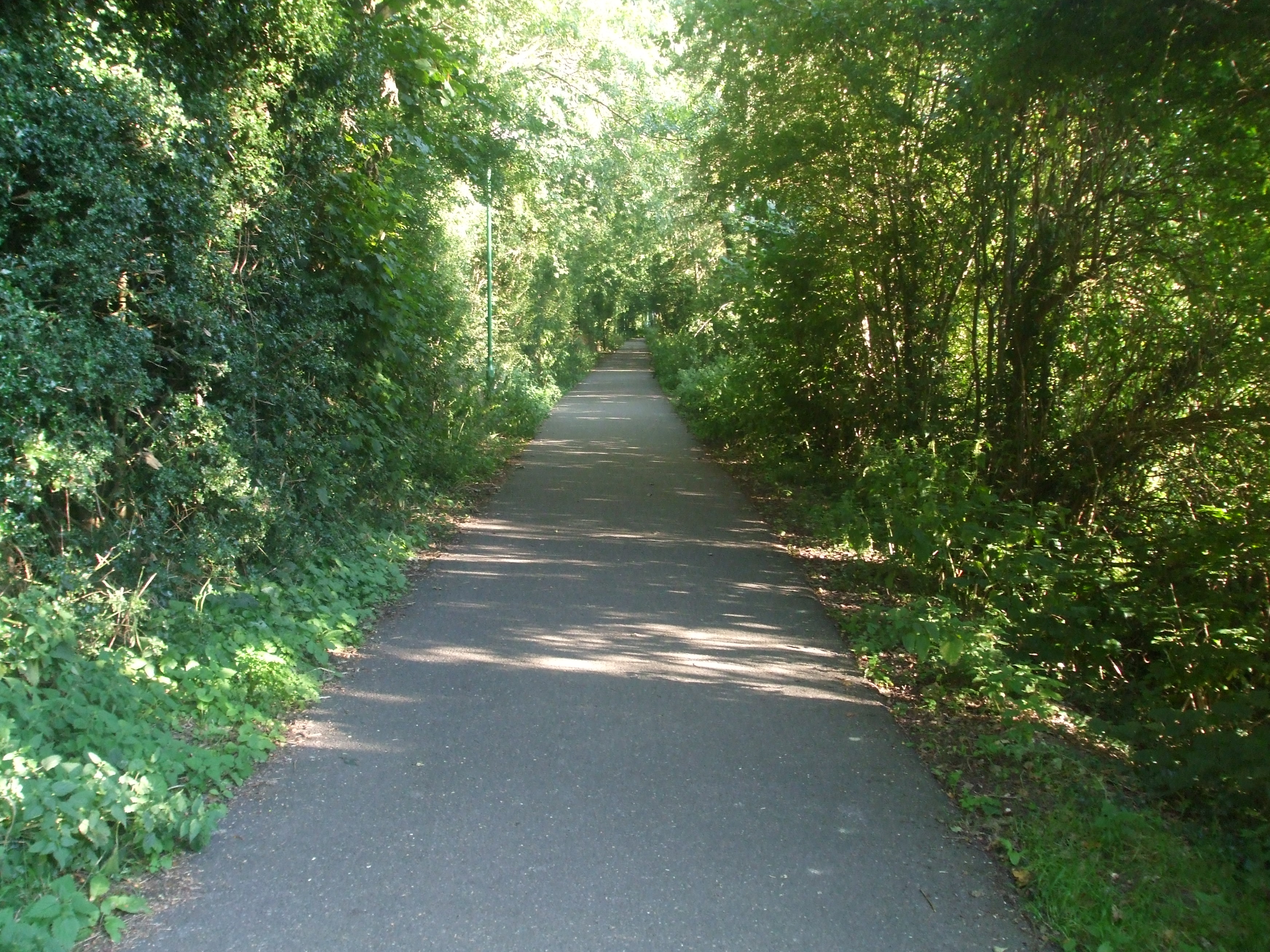
Nature enthusiasts are drawn to Knock Wood for its proximity to the expansive Kent Downs Area of Outstanding Natural Beauty. The area is a haven for walkers, hikers, and cyclists, offering a variety of trails and paths that wind through the enchanting woodlands and rolling hills.
The village also boasts a strong sense of community spirit, with various social activities and events organized throughout the year. The local pub, The Woodland Arms, is a popular gathering spot for residents and visitors alike, serving traditional English fare and locally brewed ales.
Knock Wood is conveniently located within close proximity to larger towns and cities, such as Maidstone and Canterbury, offering easy access to a range of amenities, including shopping centers, schools, and healthcare facilities.
In summary, Knock Wood, Kent, is a charming village nestled in the heart of the Kent Downs. With its stunning natural beauty, friendly community, and convenient location, it provides an idyllic place to call home or visit for a peaceful retreat.
If you have any feedback on the listing, please let us know in the comments section below.
Knock Wood Images
Images are sourced within 2km of 51.076555/0.70317971 or Grid Reference TQ8934. Thanks to Geograph Open Source API. All images are credited.


Knock Wood is located at Grid Ref: TQ8934 (Lat: 51.076555, Lng: 0.70317971)
Administrative County: Kent
District: Ashford
Police Authority: Kent
What 3 Words
///wicked.baseless.kick. Near Tenterden, Kent
Nearby Locations
Related Wikis

Homewood School
Homewood School and Sixth Form Centre is an academy school in Tenterden, Kent, England. Homewood is a non-selective school, but is situated within the...
Sinden Theatre
The Sinden Theatre is located within the grounds of Homewood School in the heart of the Weald in Tenterden, Kent, England. It was opened in 2004 and is...
Tenterden
Tenterden is a town and civil parish in the Borough of Ashford in Kent, England. In 2021 the parish had a population of 8,186. == Geography == It is connected...

Turners Field
Turners Field is an 11-hectare (27-acre) nature reserve on the western outskirts of Tenterden in Kent. It is managed by Kent Wildlife Trust.This field...

Tenterden Town Hall
Tenterden Town Hall is a municipal building in the High Street in Tenterden, Kent, England. The structure, which is the meeting place of Tenterden Town...
Tenterden St Michael's railway station
Tenterden St. Michael's was a railway station on the Kent and East Sussex Railway which served the Tenterden suburb of St Michaels in Kent, England. The...
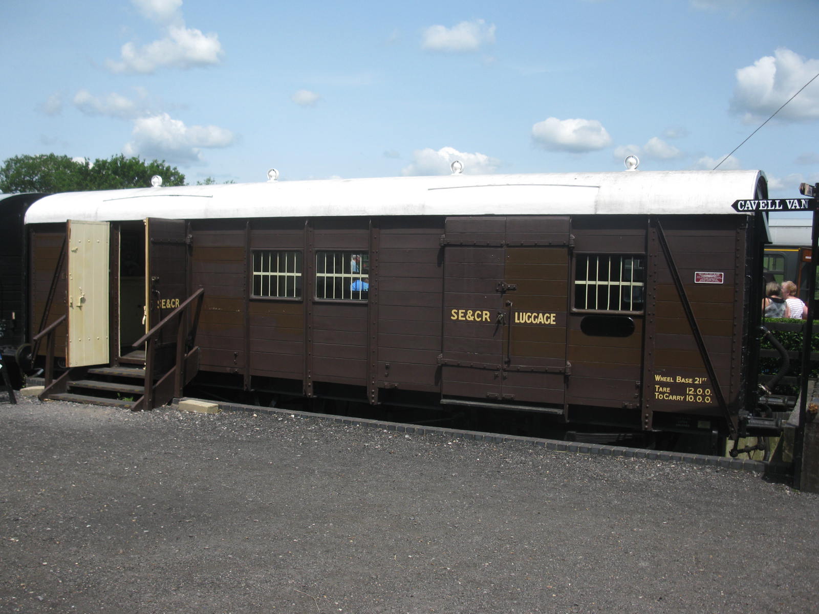
Cavell Van
The Cavell Van is the prototype Parcels and Miscellaneous Van (US: boxcar) built by the South Eastern and Chatham Railway in 1919. It is so named because...
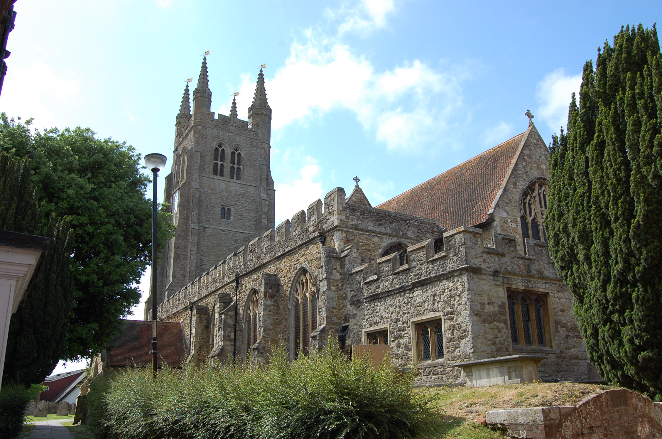
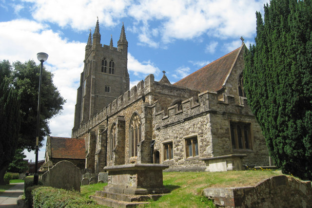
St. Mildred's Church, Tenterden
St. Mildred's Church is an Anglican church located in Tenterden in the borough of Ashford in Kent, England. The church dates from about the 12th century...
Nearby Amenities
Located within 500m of 51.076555,0.70317971Have you been to Knock Wood?
Leave your review of Knock Wood below (or comments, questions and feedback).