Great Snarehill Belt
Wood, Forest in Norfolk Breckland
England
Great Snarehill Belt
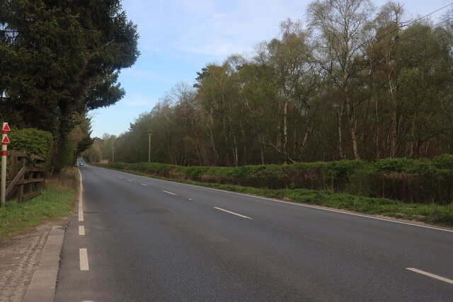
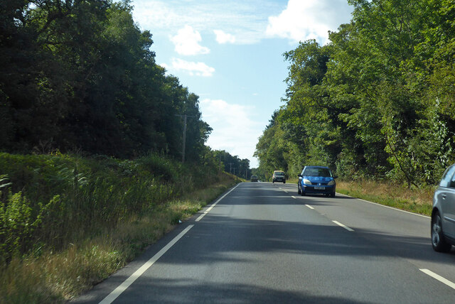
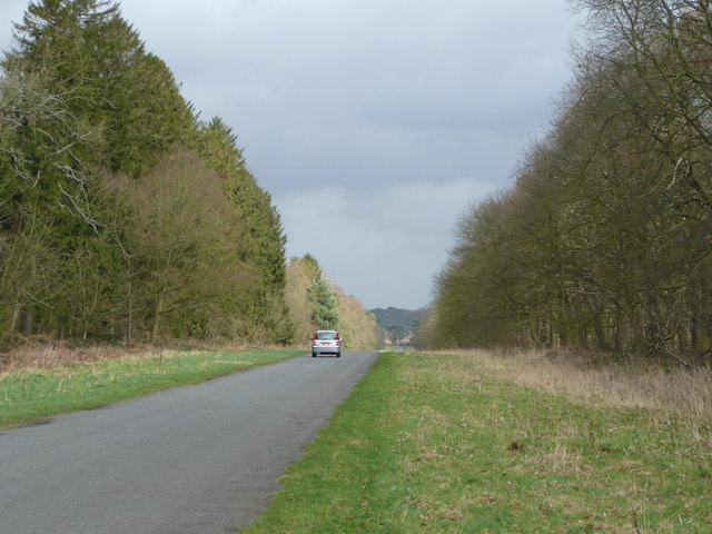
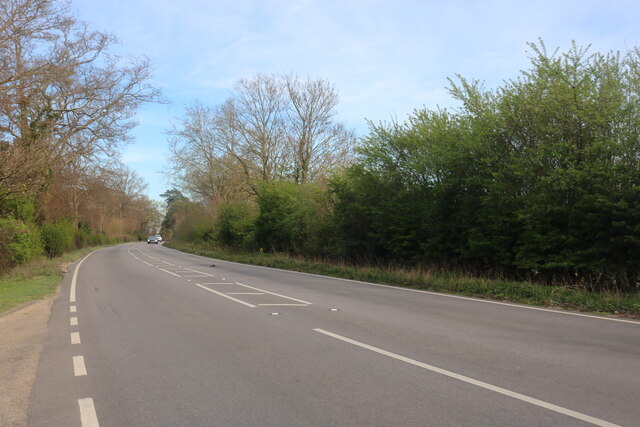
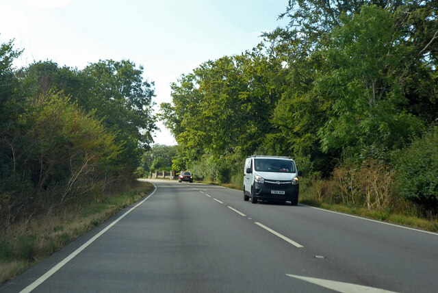
The Great Snarehill Belt is a remarkable woodland area situated in Norfolk, England. Covering an expansive area, it is known for its dense forest and lush vegetation. The Belt is located near the village of Snarehill and is a popular destination for nature enthusiasts and hikers.
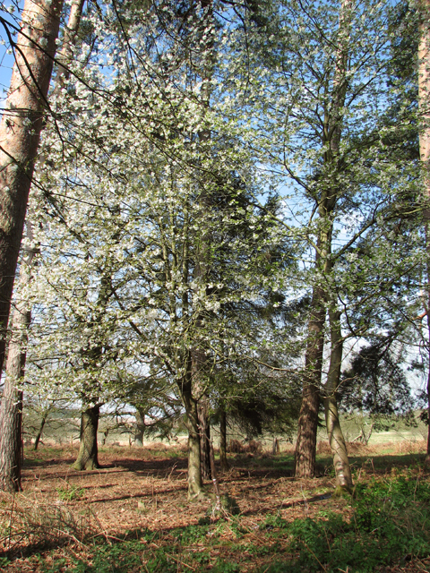
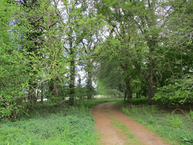
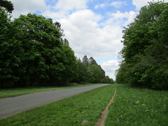
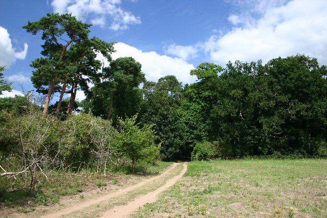
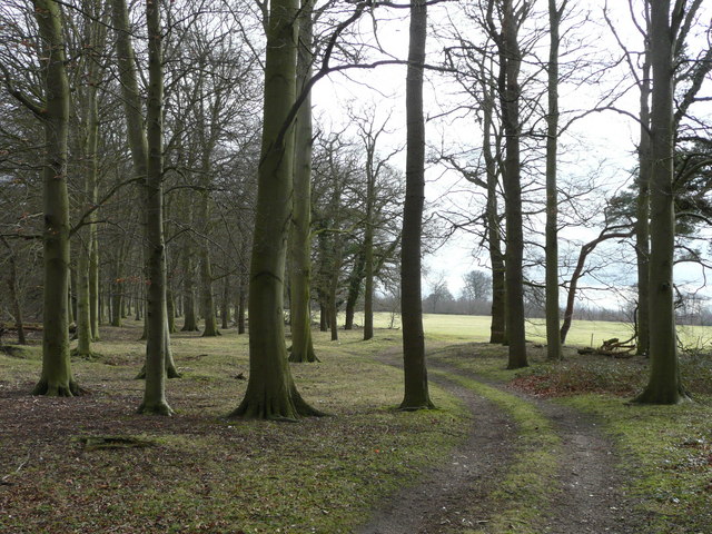
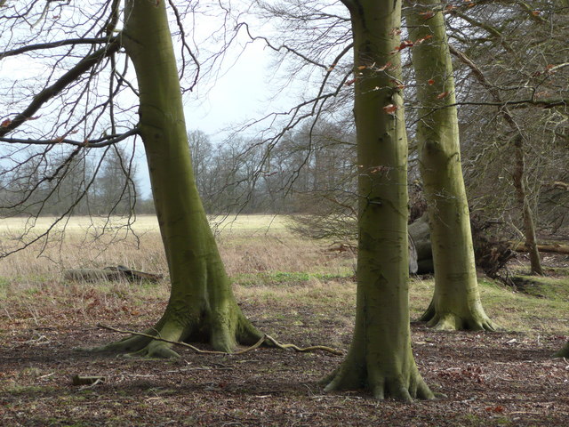
The woodland is characterized by its diverse range of tree species, including oak, beech, holly, and pine. These trees create a dense canopy, providing shelter and a habitat for various wildlife species. The forest floor is adorned with a rich carpet of ferns, wildflowers, and moss, adding to the beauty and biodiversity of the area.
The Great Snarehill Belt is home to a wide array of animal species. Deer, rabbits, and squirrels are commonly spotted, while birdwatchers may catch glimpses of woodpeckers, owls, and various songbirds. The forest also supports a variety of insects, including butterflies and dragonflies.
The woodland offers a range of recreational activities for visitors. Walking trails crisscross the area, allowing people to explore the natural beauty of the forest. There are designated picnic spots and camping areas for those who wish to spend more time in the peaceful surroundings.
The Great Snarehill Belt is not only a haven for nature lovers but also contributes to the region's ecosystem by providing a vital habitat for wildlife. It serves as a reminder of the importance of preserving and protecting our natural landscapes for future generations to enjoy.
If you have any feedback on the listing, please let us know in the comments section below.
Great Snarehill Belt Images
Images are sourced within 2km of 52.396344/0.78277667 or Grid Reference TL8981. Thanks to Geograph Open Source API. All images are credited.


Great Snarehill Belt is located at Grid Ref: TL8981 (Lat: 52.396344, Lng: 0.78277667)
Administrative County: Norfolk
District: Breckland
Police Authority: Norfolk
What 3 Words
///desktops.squad.toffee. Near Thetford, Norfolk
Nearby Locations
Related Wikis

Barnham Heath
Barnham Heath is a 78.6-hectare (194-acre) biological Site of Special Scientific Interest near Barnham, a village south of Thetford in Suffolk. It is a...

Thetford Bridge railway station
Thetford Bridge railway station served the eastern part of Thetford, Norfolk, England between 1875 and 1953. == History == The railway line between Bury...

Euston, Suffolk
Euston is a village and civil parish in the West Suffolk district of Suffolk in eastern England. Located on the A1088 around two miles south of Thetford...
Thetford Castle
Thetford Castle is a medieval motte and bailey castle in the market town of Thetford in the Breckland area of Norfolk, England. The first castle in Thetford...

Euston Hall
Euston Hall is a country house, with park by William Kent and Capability Brown, located in Euston, a small village in Suffolk located just south of Thetford...

Black Horse, Thetford
The Black Horse is a grade II listed pub in Thetford, Norfolk, England. It dates from the Mid 18th century and is constructed of flint, clunch and brick...
Dad's Army Museum
The Dad's Army Museum is a museum located in Cage Lane in Thetford in Norfolk, England, dedicated to the BBC comedy series Dad's Army. Many of the outdoor...

River Thet
The River Thet is a river in Norfolk, England and is a tributary of the River Little Ouse.It rises in Breckland with sources in Deopham Green and Rockland...
Nearby Amenities
Located within 500m of 52.396344,0.78277667Have you been to Great Snarehill Belt?
Leave your review of Great Snarehill Belt below (or comments, questions and feedback).