Eden Wood
Wood, Forest in Essex Colchester
England
Eden Wood

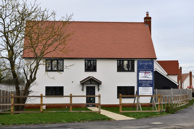
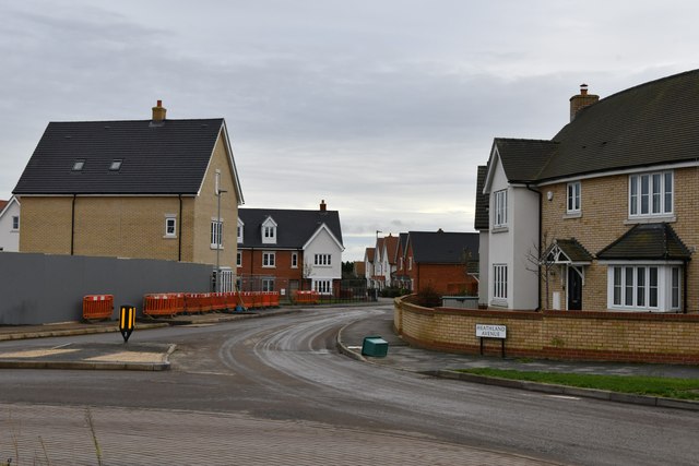
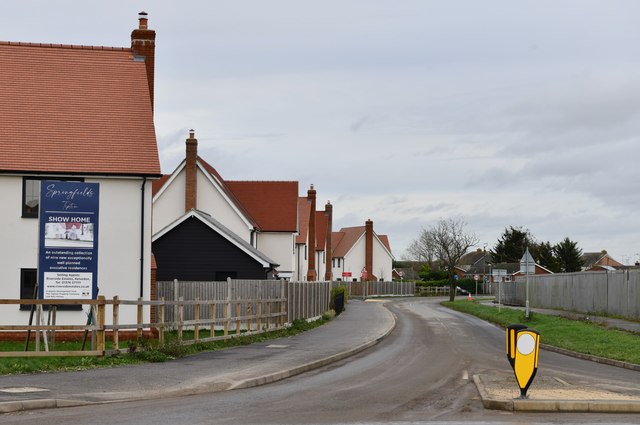
Eden Wood is a small village located in the county of Essex, England. Situated in the heart of the Essex countryside, it is known for its picturesque landscapes and tranquil atmosphere. The village is part of the larger area known as Wood, which encompasses several other neighboring villages and forests.
With a population of around 500 residents, Eden Wood is a close-knit community that prides itself on its strong community spirit. The village offers a range of amenities to its residents, including a local village hall, a primary school, and a small convenience store. The village hall serves as a hub for social gatherings and events, fostering a sense of unity among the locals.
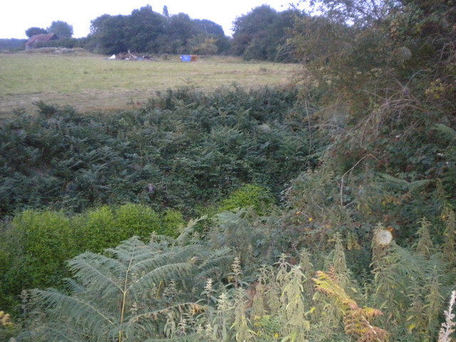
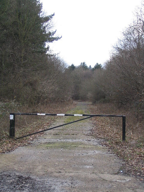
Surrounded by lush greenery and sprawling forests, Eden Wood is an ideal location for nature enthusiasts. The village is situated near several nature reserves, providing ample opportunities for hiking, bird watching, and exploring the local flora and fauna. The nearby Essex Forest offers extensive woodland trails, perfect for those seeking a peaceful retreat in nature.
Despite its rural setting, Eden Wood is well-connected to larger towns and cities in the region. The village is located a short distance from major transport links, making it easily accessible for commuters. The close proximity to urban areas allows residents to enjoy the tranquility of village life while still having access to the amenities and opportunities offered by nearby towns.
In summary, Eden Wood is a charming village in Essex, offering a peaceful and idyllic setting for its residents. With its strong community spirit and natural beauty, it is a desirable location for those seeking a slower pace of life while remaining connected to the wider world.
If you have any feedback on the listing, please let us know in the comments section below.
Eden Wood Images
Images are sourced within 2km of 51.826073/0.74448499 or Grid Reference TL8917. Thanks to Geograph Open Source API. All images are credited.


Eden Wood is located at Grid Ref: TL8917 (Lat: 51.826073, Lng: 0.74448499)
Administrative County: Essex
District: Colchester
Police Authority: Essex
What 3 Words
///nuptials.unwound.turkeys. Near Tiptree, Essex
Nearby Locations
Related Wikis

Messing-cum-Inworth
Messing-cum-Inworth is a civil parish in the Colchester district, in north-east Essex, 8.5 miles west of Colchester, and 15 miles east of Chelmsford. The...

Thurstable School
Thurstable School is a mixed (ages 11–18) secondary academy school, sports college and sixth form situated in the village of Tiptree, Essex, England....

Messing Maypole Mill
Messing Maypole Mill is a grade II listed Tower mill at Tiptree, Essex, England which has been converted to a residence. Prior to boundary changes made...
Messing, Essex
Messing is a village and former civil parish, 14 miles (23 km) north east of Chelmsford, now in the parish of Messing-cum-Inworth, in the Colchester district...

Inworth
Inworth is a small village and former civil parish, now in the parish of Messing-cum-Inworth, in the Colchester district, in the county of Essex, England...
Inworth railway station
Inworth railway station was on the Kelvedon and Tollesbury Light Railway, serving the village of Inworth, Essex. The station was 2 miles 75 chains (4.73...

Tiptree Parish Field
Tiptree Parish Field is a 2.2 hectare Local Nature Reserve in Tiptree in Essex, England. It is owned and managed by Tiptree Parish Council.The site is...
Tiptree
Tiptree is a village and civil parish in the English county of Essex, situated 10 miles (16 km) south-west of Colchester and around 50 miles (80 km) north...
Nearby Amenities
Located within 500m of 51.826073,0.74448499Have you been to Eden Wood?
Leave your review of Eden Wood below (or comments, questions and feedback).