Gorse Wood
Wood, Forest in Suffolk West Suffolk
England
Gorse Wood

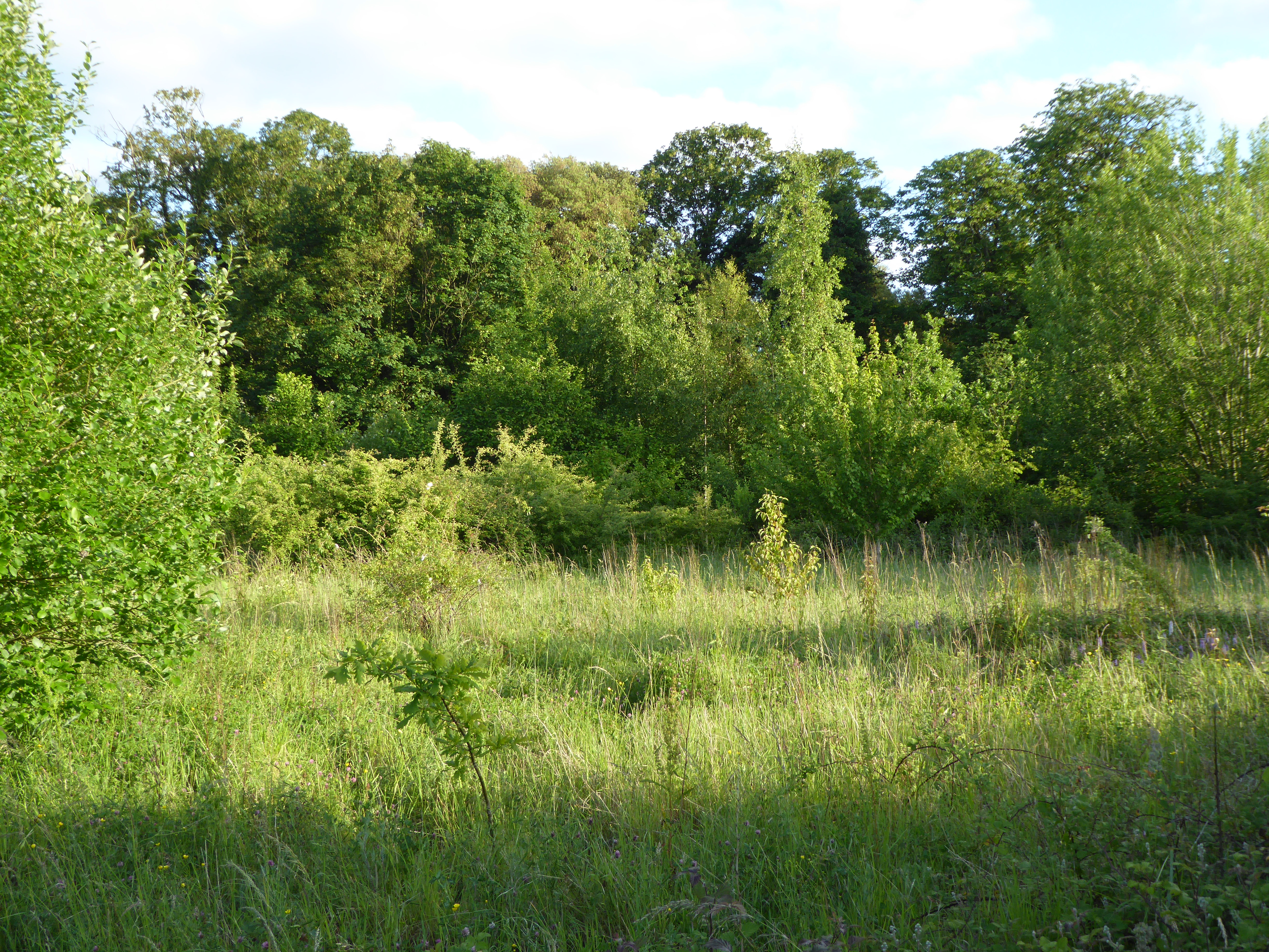
Gorse Wood is an enchanting woodland located in Suffolk, a county in East Anglia, England. Spanning approximately 50 acres, this ancient forest is a haven for nature enthusiasts and those seeking tranquility amidst the bustling landscape of the region. The wood is predominantly composed of gorse, a flowering shrub that lends its name to the woodland.
The woodland boasts a diverse range of flora and fauna, with a rich variety of tree species such as oak, beech, and birch. The dense canopy formed by these trees creates a serene and shaded environment, ideal for leisurely walks and exploration. The forest floor is covered with a lush carpet of moss, ferns, and wildflowers, adding to the ethereal charm of the wood.
The wildlife in Gorse Wood is abundant and thriving, providing a habitat for numerous species. Visitors may spot squirrels darting through the trees, and if they are lucky, catch a glimpse of shy woodland creatures like badgers and deer. The melodious songs of birds fill the air, with species such as the blackbird, great tit, and woodpecker commonly found within the woodland.
Gorse Wood is a popular destination for outdoor activities such as hiking, birdwatching, and photography. A network of well-maintained trails and footpaths meander through the forest, allowing visitors to explore its hidden corners and discover its natural wonders. The wood also features picnic areas, making it an ideal spot for families and groups to enjoy a day out in nature.
In summary, Gorse Wood is a captivating woodland in Suffolk, offering an idyllic escape from the pressures of modern life. With its enchanting beauty and abundant wildlife, it is a must-visit destination for nature lovers and those seeking solace in the heart of the Suffolk countryside.
If you have any feedback on the listing, please let us know in the comments section below.
Gorse Wood Images
Images are sourced within 2km of 52.236018/0.76907052 or Grid Reference TL8963. Thanks to Geograph Open Source API. All images are credited.


Gorse Wood is located at Grid Ref: TL8963 (Lat: 52.236018, Lng: 0.76907052)
Administrative County: Suffolk
District: West Suffolk
Police Authority: Suffolk
What 3 Words
///agreeing.unsightly.martini. Near Thurston, Suffolk
Nearby Locations
Related Wikis
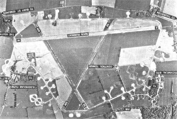
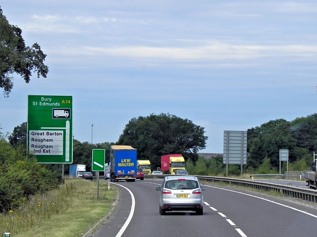
Rougham Airfield
Rougham Airfield, formerly Royal Air Force Bury St Edmunds or more simply RAF Bury St Edmunds is a former Royal Air Force station located 3 miles (4.8...
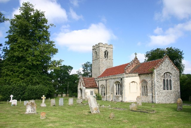
Rushbrooke with Rougham
Rushbrooke with Rougham is a large civil parish in the West Suffolk district of Suffolk in eastern England covering the villages of Blackthorpe, Rougham...

Thedwastre Hundred
Thedwastre (also Thedwestry) was a hundred of the county of Suffolk, England covering an area of 40,362 acres (163.34 km2). It formed part of the Liberty...
Rushbrooke, West Suffolk
Rushbrooke is a village and former civil parish on the River Lark, 20 miles (32 km) north west of Ipswich, now in the parish of Rushbrooke with Rougham...

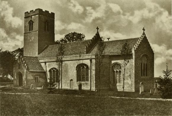
Rougham, Suffolk
Rougham is a village and former civil parish 19 miles (31 km) north west of Ipswich, now in the parish of Rushbrooke with Rougham, in the West Suffolk...
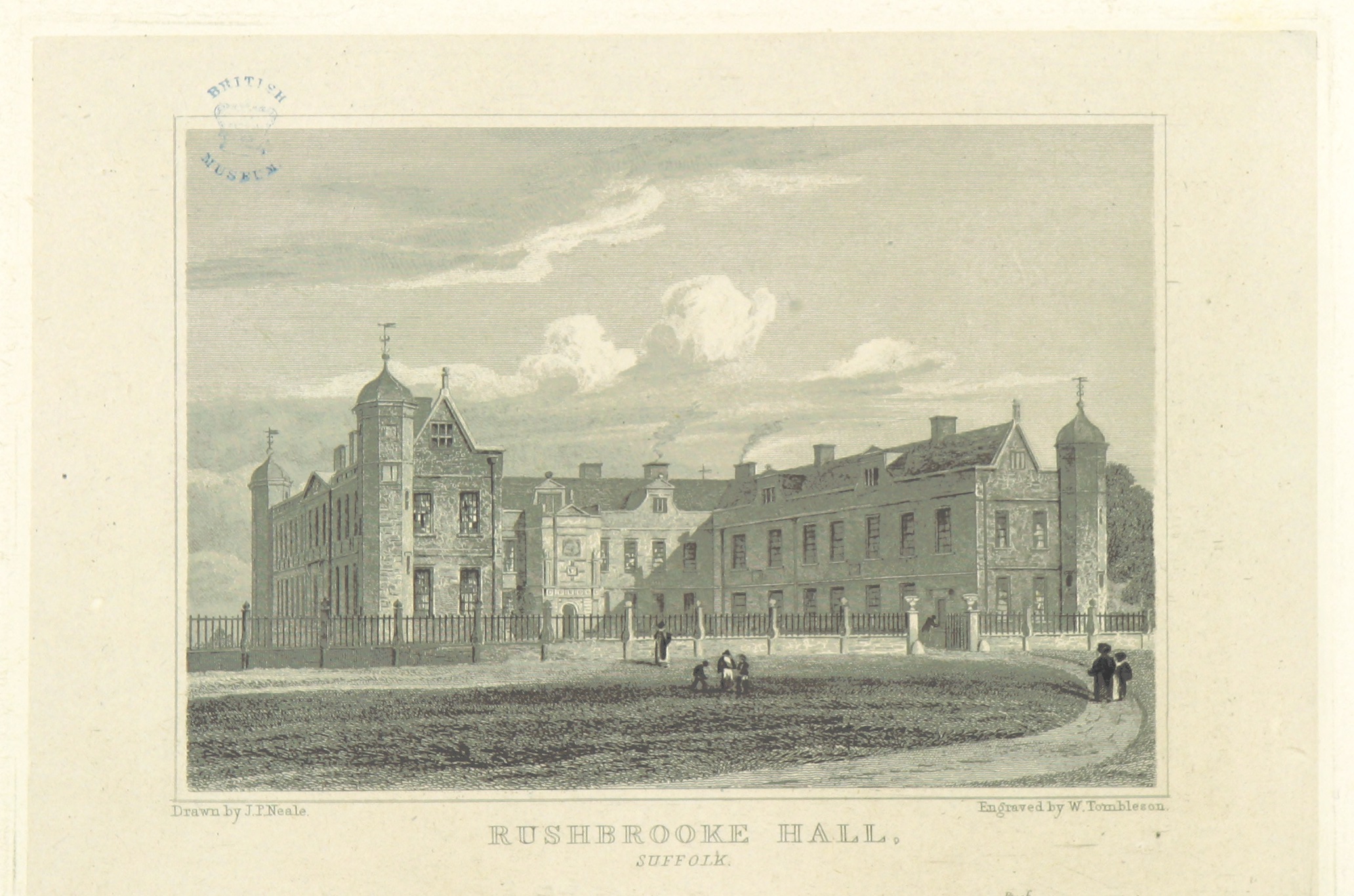
Rushbrooke Hall
Rushbrooke Hall was a British stately home in Rushbrooke, Suffolk. For several hundred years it was the family seat of the Jermyn family. It was demolished...

Moreton Hall, Bury St Edmunds
Moreton Hall is a Grade II* listed building in Bury St Edmunds, a market town in the county of Suffolk, England. It was designed by the Scottish architect...
Moreton Hall Community Woods
Moreton Hall Community Woods is an 18.5 hectare local nature reserve in Bury St Edmunds in Suffolk. it is owned by West Suffolk Council and managed by...
Nearby Amenities
Located within 500m of 52.236018,0.76907052Have you been to Gorse Wood?
Leave your review of Gorse Wood below (or comments, questions and feedback).