Lineage Wood
Wood, Forest in Suffolk Babergh
England
Lineage Wood

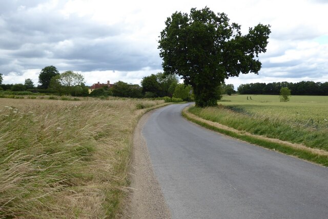
Lineage Wood is a picturesque forest area located in Suffolk, England. Covering an approximate area of [insert size], this woodland is known for its natural beauty and diverse range of flora and fauna.
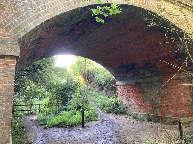
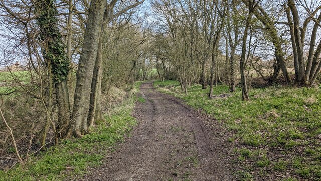
The wood is characterized by a dense canopy of towering trees, including oak, beech, and birch, creating a serene and tranquil atmosphere. The forest floor is adorned with a carpet of wildflowers, ferns, and mosses, adding to the enchanting ambiance of the woodland.
Lineage Wood boasts a rich biodiversity, providing a habitat for a variety of wildlife species. It is home to numerous bird species, such as woodpeckers, owls, and warblers, making it a popular destination for birdwatchers. The woodland also supports a population of mammals, including deer, foxes, and badgers, which can often be spotted by visitors.
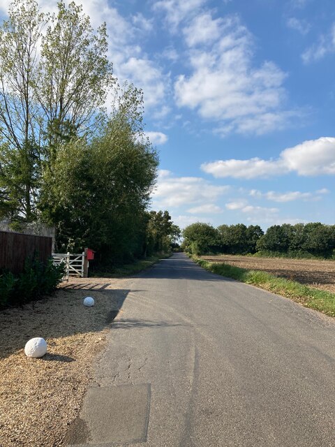
Visitors to Lineage Wood can enjoy a range of recreational activities, including walking, hiking, and nature photography. There are several well-marked trails that wind through the forest, allowing visitors to explore the beauty of the wood at their own pace. The wood also features picnic areas and benches, providing a perfect spot for visitors to relax and enjoy the serene surroundings.
Lineage Wood is managed and preserved by local authorities, ensuring its ecological integrity and continued enjoyment for future generations. Its natural beauty and diverse wildlife make it a popular destination for nature enthusiasts and a valuable asset to the local community.
If you have any feedback on the listing, please let us know in the comments section below.
Lineage Wood Images
Images are sourced within 2km of 52.102727/0.75893335 or Grid Reference TL8948. Thanks to Geograph Open Source API. All images are credited.


Lineage Wood is located at Grid Ref: TL8948 (Lat: 52.102727, Lng: 0.75893335)
Administrative County: Suffolk
District: Babergh
Police Authority: Suffolk
What 3 Words
///pest.shackles.crockery. Near Lavenham, Suffolk
Nearby Locations
Related Wikis

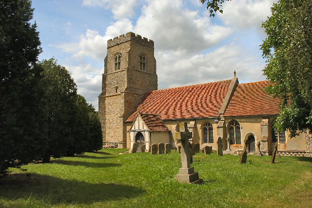
Lineage Wood & Railway Track, Long Melford
Lineage Wood & Railway Track, Long Melford is a 78.7-hectare (194-acre) biological Site of Special Scientific Interest north-east of Long Melford in Suffolk...

The Railway Walks
The Railway Walks is a 25.3 hectare Local Nature Reserve which runs along parts of a former railway line between Sudbury and Lavenham in Suffolk. It is...
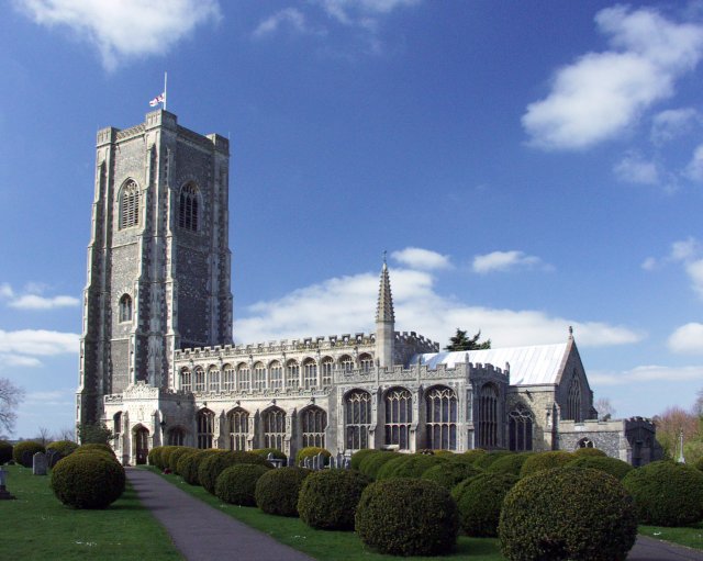
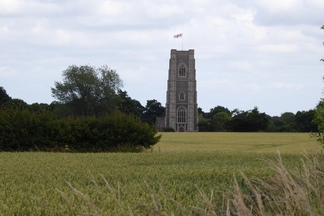
St Peter and St Paul's Church, Lavenham
St Peter and St Paul's Church, Lavenham is a Grade I listed parish church in the Church of England in Lavenham, Suffolk. It is a notable wool church and...
Alpheton
Alpheton is a village and civil parish in the Babergh district of Suffolk, England. Located on the A134 road about six miles north of Sudbury, in 2005...

Lavenham
Lavenham is a village, civil parish and electoral ward in the Babergh district, in the county of Suffolk, England. It is noted for its Guildhall, Little...
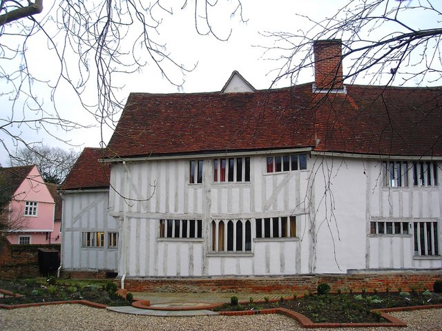
Lavenham Priory
Lavenham Priory is a 13th-century Grade I listed building in Lavenham, Suffolk, England.Aubrey de Vere I was the Lord of the Manor, according to the Domesday...

Lavenham Guildhall
Lavenham Guildhall is a timber-framed municipal building in Lavenham, Suffolk, England. It is Grade I listed. == History == By the late 14th century, Lavenham...
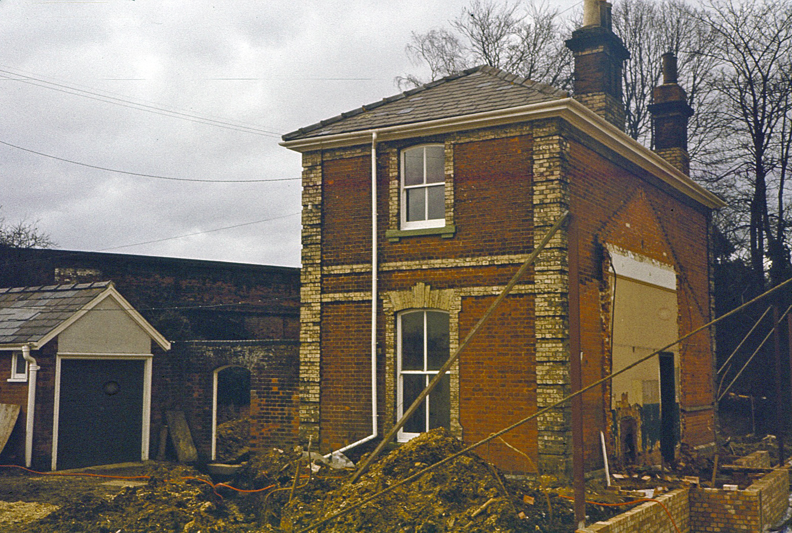
Lavenham railway station
Lavenham railway station was a station in Lavenham, Suffolk, on the Long Melford–Bury St Edmunds branch line. It closed to passengers in 1961, and the...
Have you been to Lineage Wood?
Leave your review of Lineage Wood below (or comments, questions and feedback).