Prales Belt
Wood, Forest in Essex Colchester
England
Prales Belt
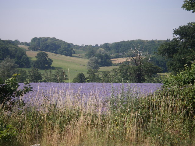
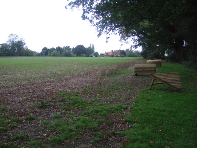
Prales Belt, located in Essex, England, is a picturesque woodland area known for its dense forest cover and natural beauty. Spanning approximately 200 acres, the belt is part of the larger Prales Wood, Forest, which encompasses several smaller forests in the region. Prales Belt is situated near the village of Prales, and is easily accessible via a network of well-maintained footpaths and trails.
The woodland in Prales Belt is characterized by its diverse range of tree species, including oak, beech, and birch, which create a rich and vibrant ecosystem. The area is home to a variety of wildlife, with sightings of deer, foxes, and numerous bird species being common. The forest floor is adorned with a carpet of wildflowers during the spring and summer months, adding to the area's natural charm.
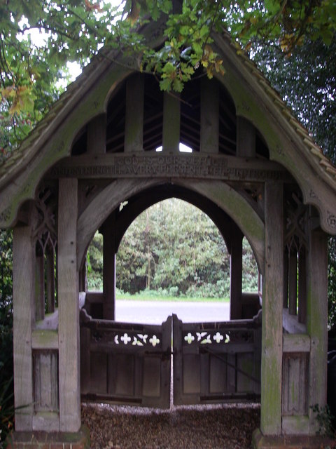
Visitors to Prales Belt can enjoy a range of outdoor activities, such as walking, hiking, and cycling. The network of trails offers options for both leisurely strolls and more challenging treks. There are also designated picnic areas and benches, providing opportunities for visitors to relax and enjoy the tranquil surroundings.
Prales Belt is a popular destination for nature enthusiasts, photographers, and families looking to immerse themselves in the beauty of the natural world. The forest is well-maintained by local authorities, ensuring that it remains a haven for wildlife and a peaceful escape for visitors. With its stunning woodland scenery and abundant wildlife, Prales Belt offers a serene and enchanting experience for all who venture into its depths.
If you have any feedback on the listing, please let us know in the comments section below.
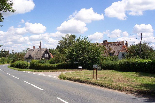
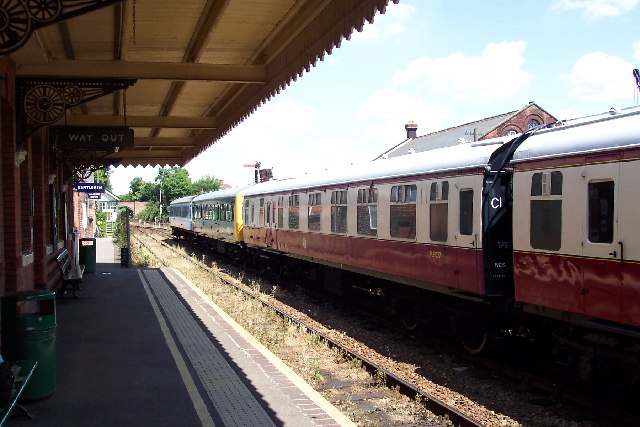
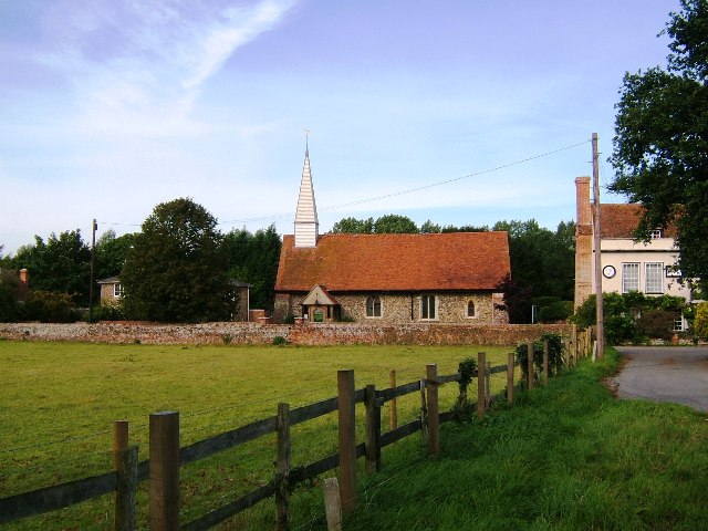
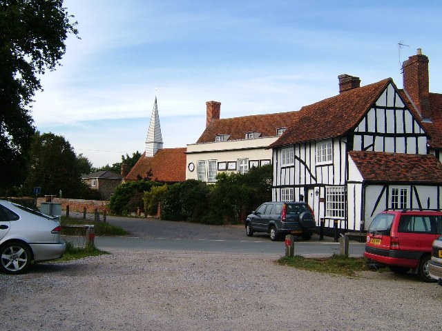
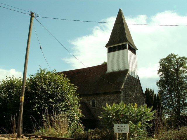
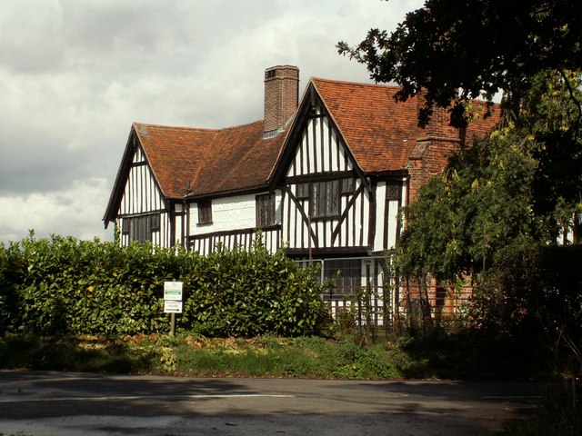
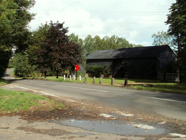
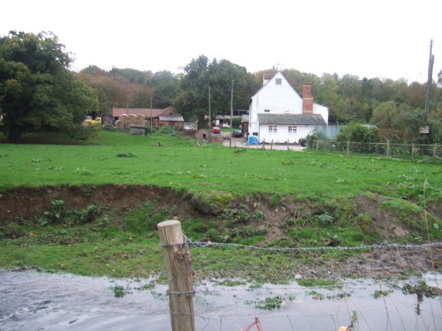
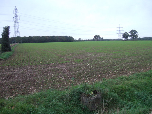
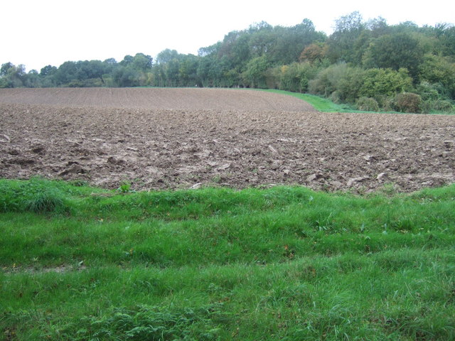
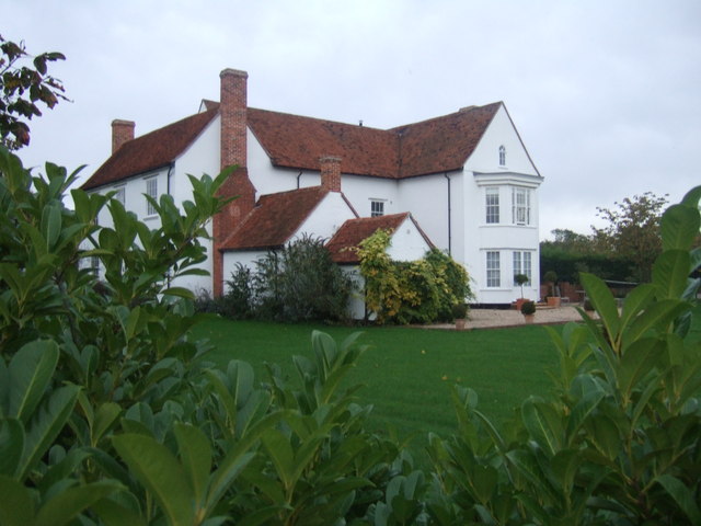
Prales Belt Images
Images are sourced within 2km of 51.927885/0.74416324 or Grid Reference TL8829. Thanks to Geograph Open Source API. All images are credited.
Prales Belt is located at Grid Ref: TL8829 (Lat: 51.927885, Lng: 0.74416324)
Administrative County: Essex
District: Colchester
Police Authority: Essex
What 3 Words
///overgrown.lilac.cobbles. Near Earls Colne, Essex
Nearby Locations
Related Wikis

Wakes Colne
Wakes Colne is a village in Essex, England which sits on the River Colne. It is situated next to the village of Chappel, with which it shares Chappel and...
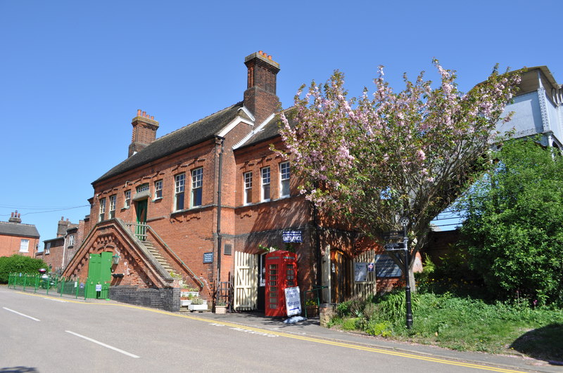
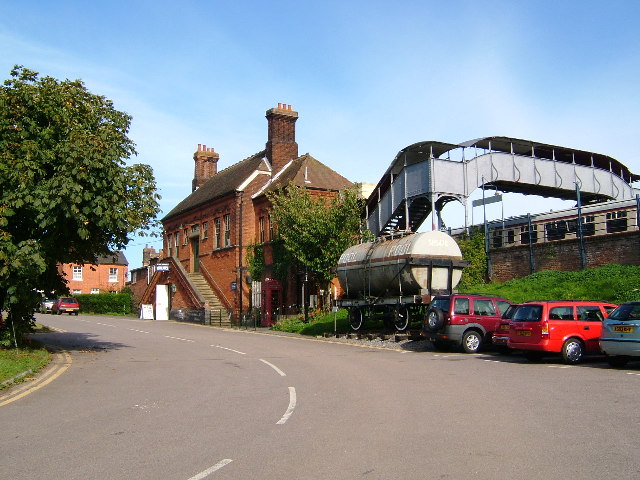
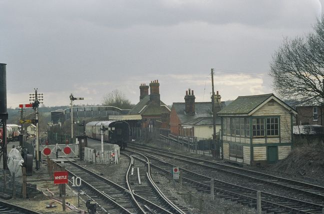
Chappel & Wakes Colne railway station
Chappel & Wakes Colne railway station is on the Gainsborough Line, a branch to Sudbury off the Great Eastern Main Line, in the East of England, serving...
East Anglian Railway Museum
The East Anglian Railway Museum is located at Chappel and Wakes Colne railway station in Essex, England, which is situated on the former Great Eastern...

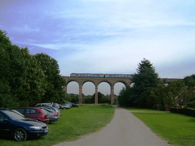
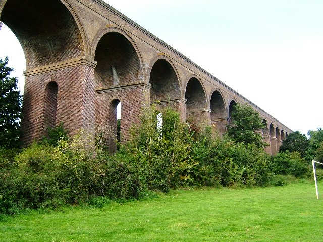
Chappel Viaduct
The Chappel Viaduct is a railway viaduct that crosses the River Colne in the Colne Valley in Essex, England. It carries the Gainsborough Line which now...
Nearby Amenities
Located within 500m of 51.927885,0.74416324Have you been to Prales Belt?
Leave your review of Prales Belt below (or comments, questions and feedback).