Bulrush Plantation

Wood, Forest in Norfolk King's Lynn and West Norfolk

England

Bulrush Plantation

Old Boundary Marker by All Saints Waterden Church Estate Boundary Marker at Waterden, where the track to All Saints church meets the boundary of the churchyard. South Creake parish. Inscribed BOUNDARY on its top, GLEBE on the left face and L L on the right face. The stone marks the boundary of clergy land and the land of the Earl of Leicester at Holkham Hall. L L may stand for Lord Leicester. See also <a title="https://www.geograph.org.uk/photo/2048222" href="https://www.geograph.org.uk/photo/2048222">Link</a>.

Milestone Society National ID: NO_SCREA01em
Old Boundary Marker by All Saints Waterden Credit: C Haines

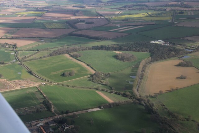
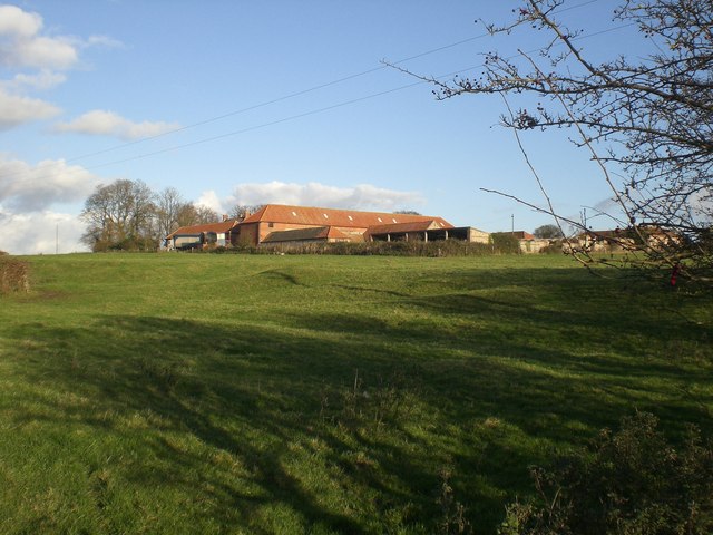
Bulrush Plantation is a sprawling woodland located in Norfolk, England. Spanning over several acres, this plantation is known for its dense growth of bulrush plants, which gives it its distinctive name. The plantation is situated in a picturesque setting, surrounded by rolling hills and a meandering river, adding to its natural charm.

The main feature of Bulrush Plantation is the abundance of bulrush plants that dominate the area. These plants, also known as reeds or cattails, are tall and slender, with long, green leaves and distinctive brown cylindrical flower spikes. They thrive in wetland environments, making the plantation an ideal habitat for them.

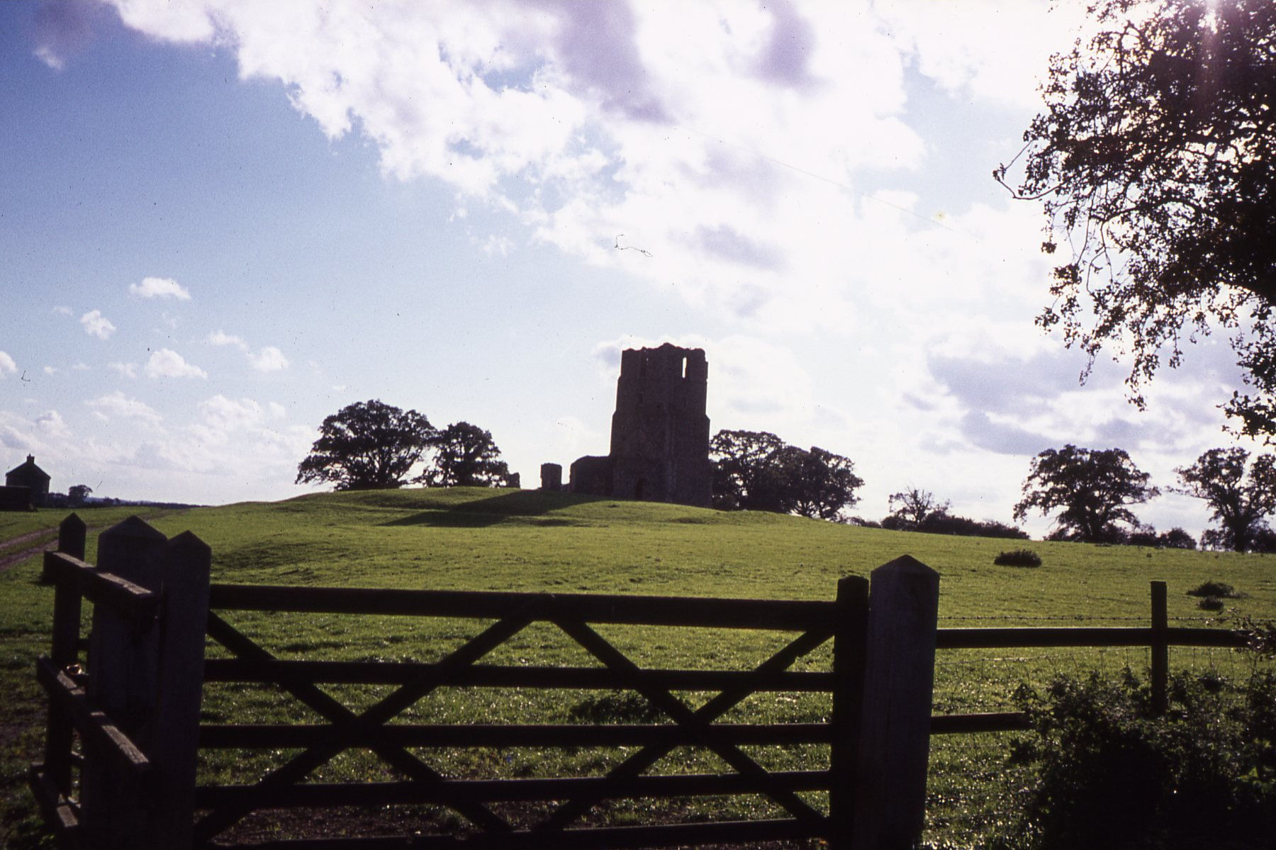
The plantation is also home to a diverse range of wildlife. The bulrush plants provide a habitat and food source for numerous species of birds, including reed warblers and bitterns. Small mammals like voles and shrews can also be found within the dense vegetation.

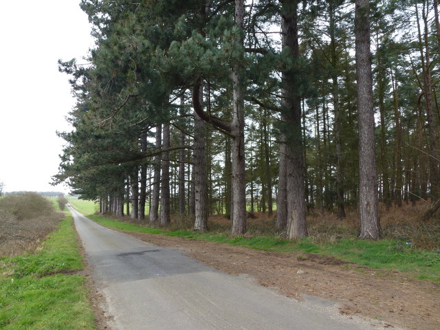
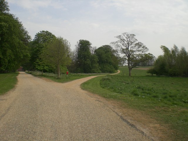
Visitors to Bulrush Plantation can explore the woodland through a network of walking trails, allowing them to immerse themselves in the natural beauty of the area. The tranquil atmosphere, combined with the soothing sounds of nature, create a serene and peaceful environment.

The plantation is well-maintained, with regular clearing of excess vegetation to maintain the health and balance of the ecosystem. This ensures that the bulrush plants continue to thrive while providing a sustainable habitat for the local wildlife.

Overall, Bulrush Plantation in Norfolk is a unique and enchanting woodland, offering visitors a chance to connect with nature and experience the beauty of a thriving bulrush ecosystem.

If you have any feedback on the listing, please let us know in the comments section below.

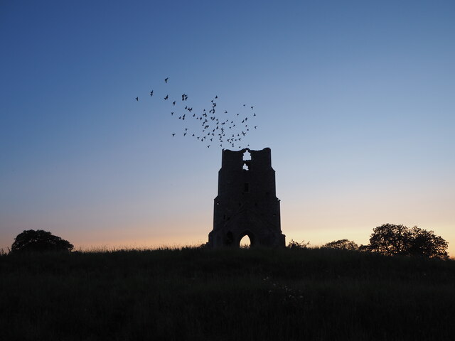
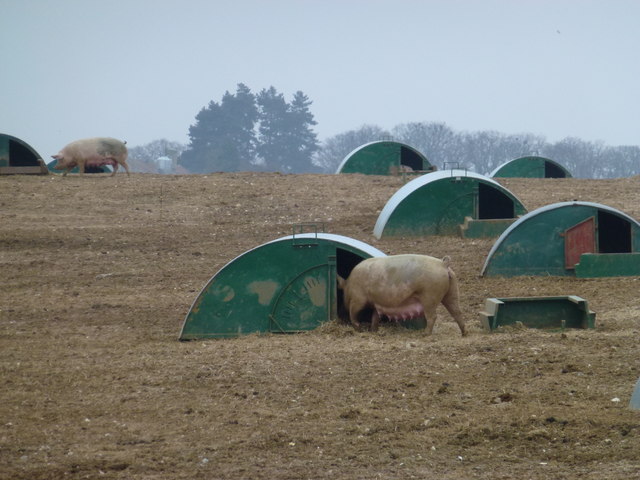
Bulrush Plantation Images

Images are sourced within 2km of 52.893771/0.80121433 or Grid Reference TF8836. Thanks to Geograph Open Source API. All images are credited.

Old Boundary Marker by All Saints Waterden Church Estate Boundary Marker at Waterden, where the track to All Saints church meets the boundary of the churchyard. South Creake parish. Inscribed BOUNDARY on its top, GLEBE on the left face and L L on the right face. The stone marks the boundary of clergy land and the land of the Earl of Leicester at Holkham Hall. L L may stand for Lord Leicester. See also <a title="https://www.geograph.org.uk/photo/2048222" href="https://www.geograph.org.uk/photo/2048222">Link</a>.

Milestone Society National ID: NO_SCREA01em
Old Boundary Marker by All Saints Waterden
Church Estate Boundary Marker at Waterden, where the track to All Saints church meets the boundary of the churchyard. South Creake parish. Inscribed BOUNDARY on its top, GLEBE on the left face and L L on the right face. The stone marks the boundary of clergy land and the land of the Earl of Leicester at Holkham Hall. L L may stand for Lord Leicester. See also Link. Milestone Society National ID: NO_SCREA01em
St Edmund's Church ruins, Egmere The ruins of a church on a large mound in Egmere, Norfolk. All that remains is part of the 14th century tower; the rest of the church was said to be 12th century. The ruins are a Grade II* listed building and Scheduled Monument.
St Edmund's Church ruins, Egmere
The ruins of a church on a large mound in Egmere, Norfolk. All that remains is part of the 14th century tower; the rest of the church was said to be 12th century. The ruins are a Grade II* listed building and Scheduled Monument.
St Edmund's Church ruins, Egmere Birds flying around the ruins of a church on a large mound in Egmere, Norfolk. All that remains is part of the 14th century tower; the rest of the church was said to be 12th century. The ruins are a Grade II* listed building and Scheduled Monument.
St Edmund's Church ruins, Egmere
Birds flying around the ruins of a church on a large mound in Egmere, Norfolk. All that remains is part of the 14th century tower; the rest of the church was said to be 12th century. The ruins are a Grade II* listed building and Scheduled Monument.
St Edmund's Church ruins, Egmere Sunset at the ruins of a church on a large mound in Egmere, Norfolk. All that remains is part of the 14th century tower; the rest of the church was said to be 12th century. The ruins are a Grade II* listed building and Scheduled Monument.
St Edmund's Church ruins, Egmere
Sunset at the ruins of a church on a large mound in Egmere, Norfolk. All that remains is part of the 14th century tower; the rest of the church was said to be 12th century. The ruins are a Grade II* listed building and Scheduled Monument.
The Common, east of South Creake: aerial 2024 (1)
The Common, east of South Creake: aerial 2024 (2)
Pig field next to line of Roman Road east or South Creake: aerial 2024 Roman road runs horizontally across the centre.
Pig field next to line of Roman Road east or South Creake: aerial 2024
Roman road runs horizontally across the centre.
Ruins of St. Edmund's Church, Egmere All that remains of the medieval village of Egmere is the substantial tower of St. Edmund's Church stranded in a pasture.
Ruins of St. Edmund's Church, Egmere
All that remains of the medieval village of Egmere is the substantial tower of St. Edmund's Church stranded in a pasture.
The long and winding road Looking down Shepherd's Hill to the east of north Creake
The long and winding road
Looking down Shepherd's Hill to the east of north Creake
Tall pine trees in Norfolk Country lane east of North Creake
Tall pine trees in Norfolk
Country lane east of North Creake
Restricted byway to Whin Close Villa, South Creake
Suckling sow - Free range pigs near South Creake Looking towards Hill Brake Pit from Roman Road
Suckling sow - Free range pigs near South Creake
Looking towards Hill Brake Pit from Roman Road
Mooning pig Free range pig farming near South Creake in Norfolk
Mooning pig
Free range pig farming near South Creake in Norfolk
All Saints' Church in Waterden - view from NW A tiny church in a tiny hamlet with over a thousand years of history
<span class="nowrap"><a title="http://www.norfolkchurches.co.uk/waterden/waterden.htm" rel="nofollow ugc noopener" href="http://www.norfolkchurches.co.uk/waterden/waterden.htm">Link</a><img style="margin-left:2px;" alt="External link" title="External link - shift click to open in new window" src="https://s1.geograph.org.uk/img/external.png" width="10" height="10"/></span>
All Saints' Church in Waterden - view from NW
A tiny church in a tiny hamlet with over a thousand years of history LinkExternal link
All Saints' Church in Waterden - view from east A tiny church in a tiny Norfolk hamlet with over 1,000 years of history
<span class="nowrap"><a title="http://www.norfolkchurches.co.uk/waterden/waterden.htm" rel="nofollow ugc noopener" href="http://www.norfolkchurches.co.uk/waterden/waterden.htm">Link</a><img style="margin-left:2px;" alt="External link" title="External link - shift click to open in new window" src="https://s1.geograph.org.uk/img/external.png" width="10" height="10"/></span>
All Saints' Church in Waterden - view from east
A tiny church in a tiny Norfolk hamlet with over 1,000 years of history LinkExternal link
All Saints' Church in Waterden - view from SW A tiny Norfolk church in a tiny hamlet with over 1,000 years of history
<span class="nowrap"><a title="http://www.norfolkchurches.co.uk/waterden/waterden.htm" rel="nofollow ugc noopener" href="http://www.norfolkchurches.co.uk/waterden/waterden.htm">Link</a><img style="margin-left:2px;" alt="External link" title="External link - shift click to open in new window" src="https://s1.geograph.org.uk/img/external.png" width="10" height="10"/></span>
All Saints' Church in Waterden - view from SW
A tiny Norfolk church in a tiny hamlet with over 1,000 years of history LinkExternal link
All Saints' Church in Waterden - view from SE A tiny church in a tiny Norfolk hamlet with over 1,000 years of history
<span class="nowrap"><a title="http://www.norfolkchurches.co.uk/waterden/waterden.htm" rel="nofollow ugc noopener" href="http://www.norfolkchurches.co.uk/waterden/waterden.htm">Link</a><img style="margin-left:2px;" alt="External link" title="External link - shift click to open in new window" src="https://s1.geograph.org.uk/img/external.png" width="10" height="10"/></span>
All Saints' Church in Waterden - view from SE
A tiny church in a tiny Norfolk hamlet with over 1,000 years of history LinkExternal link
Path to All Saints' Church in Waterden, Norfolk
Show me another place!

Bulrush Plantation is located at Grid Ref: TF8836 (Lat: 52.893771, Lng: 0.80121433)

Administrative County: Norfolk

District: King's Lynn and West Norfolk

Police Authority: Norfolk

What 3 Words

///bungalows.headliner.outsiders. Near Wells-next-the-Sea, Norfolk

Related Wikis

Waterden medieval settlement

Waterden medieval settlement is a deserted medieval village in Norfolk, England, about 3 miles (4.8 km) west of Walsingham. It is a Scheduled Monument...

Egmere medieval settlement

Egmere medieval settlement is a deserted medieval village in Norfolk, England, about 2.5 miles (4.0 km) west of Walsingham. It is a Scheduled Monument...

Quarles, Norfolk

Quarles is a hamlet and former civil parish, now in the civil parish of Holkham, in the North Norfolk district, in the county of Norfolk, England. The...

RAF North Creake

Royal Air Force North Creake or more simply RAF North Creake is a former Royal Air Force station located 3.3 miles (5.3 km) southwest of Wells-next-the...

Nearby Amenities

Located within 500m of 52.893771,0.80121433
Power: pole
Lat/Long: 52.8928541/0.8057329
Power: pole
Lat/Long: 52.8921615/0.8049524
Power: pole
Lat/Long: 52.8908944/0.8036569
Power: pole
Lat/Long: 52.8915385/0.8043167
Power: pole
Lat/Long: 52.8902601/0.8030105
Power: pole
Lat/Long: 52.8894979/0.8022165
The data included in this document is from www.openstreetmap.org. The data is made available under ODbL.

Have you been to Bulrush Plantation?

Leave your review of Bulrush Plantation below (or comments, questions and feedback).