Savage Wood
Wood, Forest in Kent Maidstone
England
Savage Wood
Savage Wood, located in Kent, England, is a picturesque forest renowned for its natural beauty and rich biodiversity. Spanning an area of approximately 100 hectares, the wood is a popular destination for nature enthusiasts and hikers alike.
The wood is characterized by its dense woodland, consisting primarily of oak, beech, and birch trees. These towering trees create a dense canopy, providing shade and shelter for the diverse range of wildlife that calls Savage Wood home. The forest floor is carpeted with a variety of flora, including bluebells, wild garlic, and ferns, adding to the wood's enchanting atmosphere.
Savage Wood is also notable for its diverse wildlife population. Visitors may catch a glimpse of deer, foxes, badgers, and a plethora of bird species, including woodpeckers, owls, and various songbirds. The wood's tranquil environment and abundance of natural resources make it an ideal habitat for these creatures.
In addition to its natural beauty, Savage Wood offers a network of well-maintained walking trails, allowing visitors to explore the wood's hidden gems. These trails range from short leisurely walks to more challenging hikes, catering to individuals of all fitness levels.
Furthermore, the wood is equipped with visitor facilities, such as parking areas, picnic spots, and information boards, ensuring visitors have a comfortable and enjoyable experience.
Overall, Savage Wood in Kent is a captivating destination for nature lovers, offering a peaceful escape from the hustle and bustle of everyday life. Whether it is exploring the wood's diverse flora and fauna or simply immersing oneself in its serene ambiance, Savage Wood promises a memorable and rejuvenating experience for all who visit.
If you have any feedback on the listing, please let us know in the comments section below.
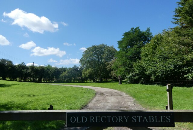
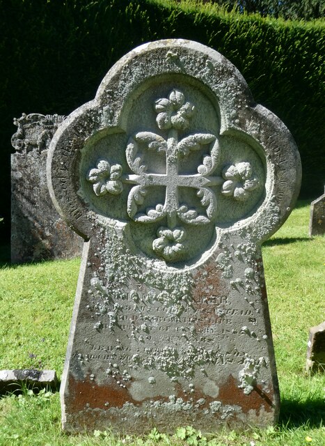
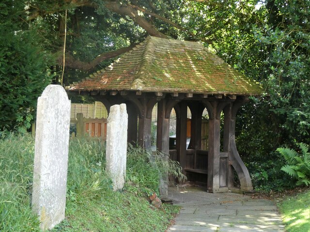
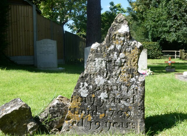
Savage Wood Images
Images are sourced within 2km of 51.293137/0.70103924 or Grid Reference TQ8858. Thanks to Geograph Open Source API. All images are credited.


Savage Wood is located at Grid Ref: TQ8858 (Lat: 51.293137, Lng: 0.70103924)
Administrative County: Kent
District: Maidstone
Police Authority: Kent
What 3 Words
///agreement.dispensed.booth. Near Sittingbourne, Kent
Nearby Locations
Related Wikis

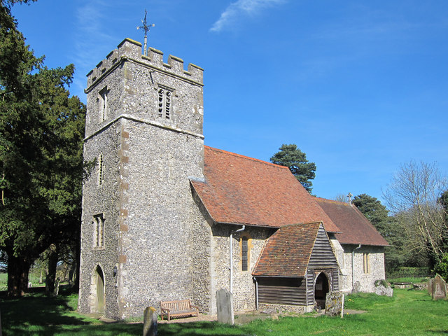
St Giles Church, Wormshill
St Giles Church is the sole church in the village of Wormshill in Kent. The church is Anglican and is dedicated to Saint Giles. It forms part of the united...

Frinsted
Frinsted or Frinstead is a small village and civil parish in the ecclesiastical parish of Wormshill and in the Maidstone District of Kent, England. and...
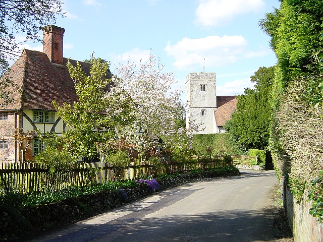
Wormshill
Wormshill ( wurmz-HIL), historically Wormsell, is a small village and civil parish within the Borough of Maidstone, Kent, England. The parish is approximately...

Bedmonton
Bedmonton or Bedmanton is a hamlet situated about five miles (8 km) on a minor road between the B2163 road and Wormshill to the south of Sittingbourne...
Bexon
Bexon is a village in Kent, England, situated North of the parishes of Frinsted and Bicknor, just south of the M2 motorway. Bexon is also the name of...
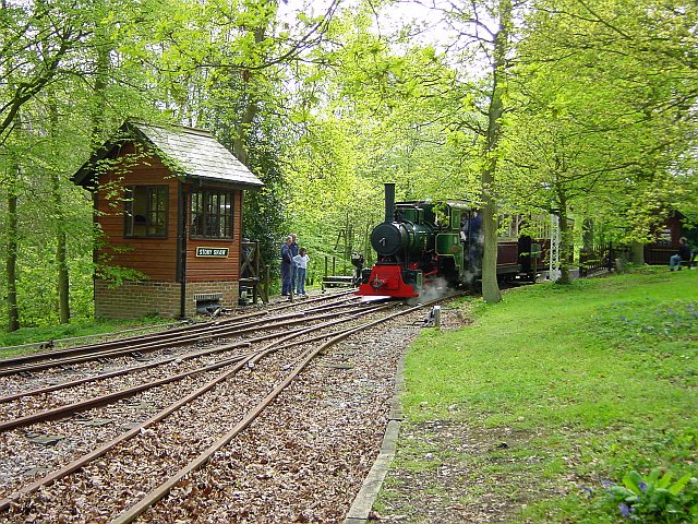
Bredgar and Wormshill Light Railway
The Bredgar and Wormshill Light Railway (BWLR) is located near the villages of Wormshill and Bredgar in Kent, just south of Sittingbourne. It is a 2 ft...

Bredgar
Bredgar is a village and civil parish in the Borough of Swale, Kent, England. == Location == The village lies to the southwest of Sittingbourne on the...
Milstead
Milstead is a village and civil parish in the borough of Swale in Kent, England. It is surrounded by the villages of Frinsted, Wichling, Doddington and...
Nearby Amenities
Located within 500m of 51.293137,0.70103924Have you been to Savage Wood?
Leave your review of Savage Wood below (or comments, questions and feedback).