Foggathorpe

Settlement in Yorkshire

England

Foggathorpe

Road towards Foggathorpe Looking along the road leading north near Gribthorpe.
Road towards Foggathorpe Credit: DS Pugh

The requested URL returned error: 429 Too Many Requests

If you have any feedback on the listing, please let us know in the comments section below.
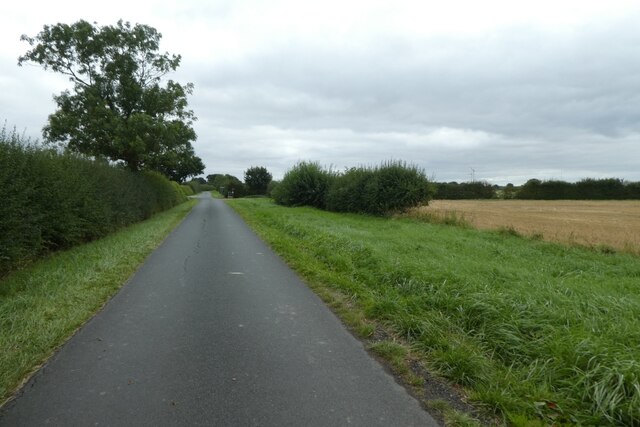
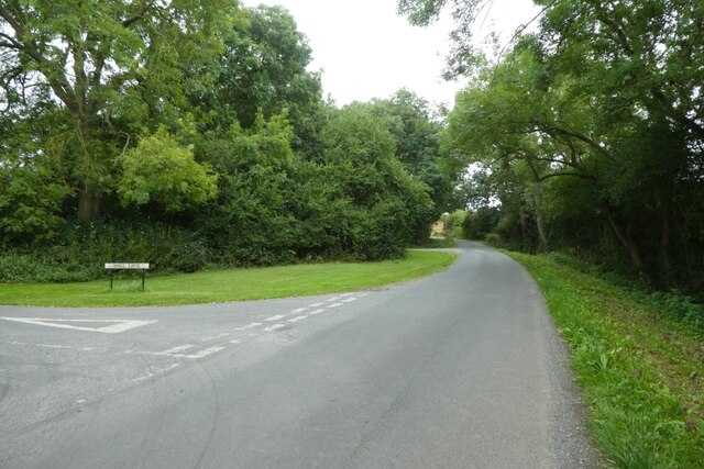
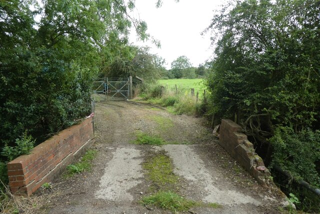
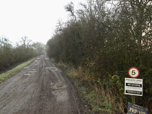
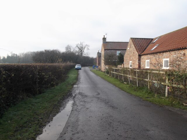
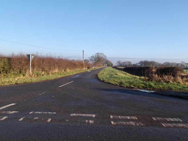
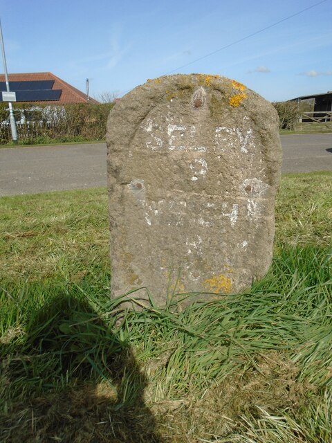
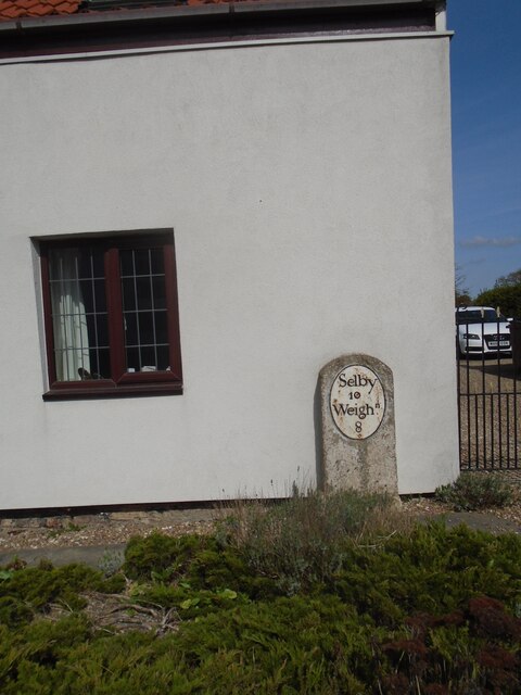
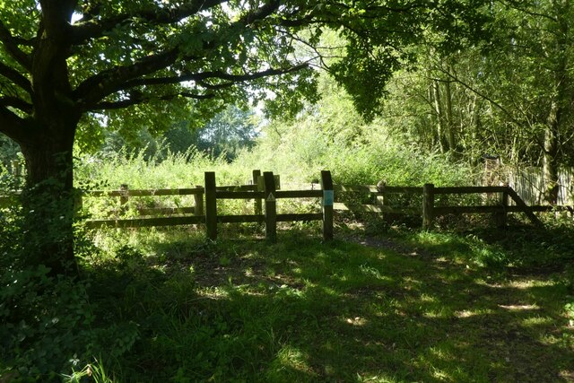
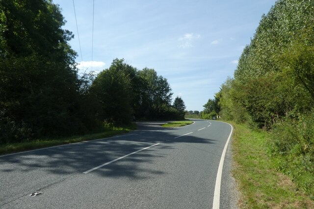
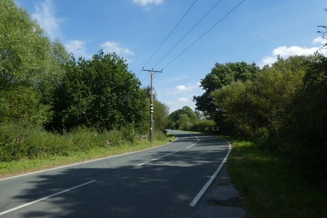
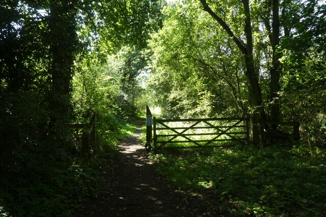
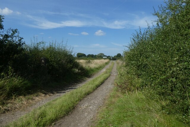
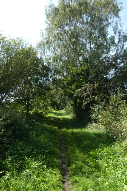
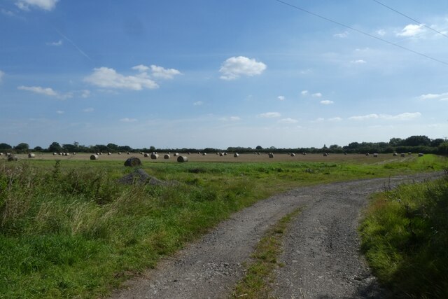
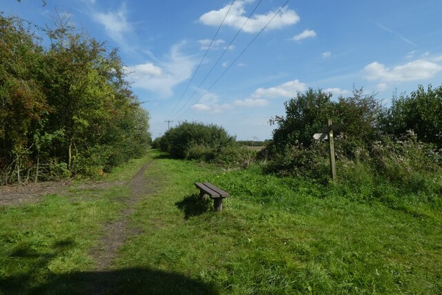
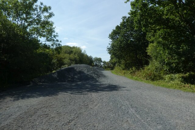
Foggathorpe Images

Images are sourced within 2km of 53.826276/-0.854732 or Grid Reference SE7537. Thanks to Geograph Open Source API. All images are credited.

Road towards Foggathorpe Looking along the road leading north near Gribthorpe.
Road towards Foggathorpe
Looking along the road leading north near Gribthorpe.
Bell Lane Looking along Bell Lane at the junction with Hall Lane.
Bell Lane
Looking along Bell Lane at the junction with Hall Lane.
Track to sewerage works Looking along a track leading to the sewerage pumping station beside Bell Lane.
Track to sewerage works
Looking along a track leading to the sewerage pumping station beside Bell Lane.
Road to Foggathorpe Hall
Gribthorpe
Gribthorpe
Road to Oak Farm
Road to Oak Farm
Old milestone At Harlthorpe on the A163 between Selby and Market Weighton a very short section of the road has been realigned slightly and this stone stands on the grass between the old and newer sections.  Originally it would have had an oval metal plate with the legend Selby 9 Weighn 9.  It may have been taken off in 1940 and never put back.  So the legend was then painted on.   Although it is not very clear, the mileage to Market Weighton looks like 8 when it should be 9.  The tollroad from Selby Ferry to Market Weighton was operative between 1793 to 1879.
Old milestone
At Harlthorpe on the A163 between Selby and Market Weighton a very short section of the road has been realigned slightly and this stone stands on the grass between the old and newer sections. Originally it would have had an oval metal plate with the legend Selby 9 Weighn 9. It may have been taken off in 1940 and never put back. So the legend was then painted on. Although it is not very clear, the mileage to Market Weighton looks like 8 when it should be 9. The tollroad from Selby Ferry to Market Weighton was operative between 1793 to 1879.
Old milestone The top of the milestone in Harlethorpe on the Selby to Market Weighton road is covered in several kinds of lichens.  And this photograph also shows the OS benchmark and metal pin.
Old milestone
The top of the milestone in Harlethorpe on the Selby to Market Weighton road is covered in several kinds of lichens. And this photograph also shows the OS benchmark and metal pin.
Old milestone This milestone near the crossroads of the minor road from Seaton Ross to the north and the main Selby to Market Weighton Road is in front of White House Cottage.   The stone was once painted the same as the house walls.  It is another milestone probably dating from the turnpike era.  The Selby Ferry to Market Weighton tollroad was operative between 1793 to 1879 so this stone may date from the early to mid 19C.   There is a bench mark and hole (for a metal peg) in the top edge.   It is Grade II Listed 165265.
Old milestone
This milestone near the crossroads of the minor road from Seaton Ross to the north and the main Selby to Market Weighton Road is in front of White House Cottage. The stone was once painted the same as the house walls. It is another milestone probably dating from the turnpike era. The Selby Ferry to Market Weighton tollroad was operative between 1793 to 1879 so this stone may date from the early to mid 19C. There is a bench mark and hole (for a metal peg) in the top edge. It is Grade II Listed 165265.
Cycle path north of the A163 crossing The former Market Weighton to Selby via Bubwith railway line is now a cycle path called the Bubwith Rail Trail.
Cycle path north of the A163 crossing
The former Market Weighton to Selby via Bubwith railway line is now a cycle path called the Bubwith Rail Trail.
A163 at Allberries The former Market Weighton to Selby via Bubwith railway line is now a cycle path called the Bubwith Rail Trail which crosses the A163 road here.
A163 at Allberries
The former Market Weighton to Selby via Bubwith railway line is now a cycle path called the Bubwith Rail Trail which crosses the A163 road here.
A163 heading east The former Market Weighton to Selby via Bubwith railway line is now a cycle path called the Bubwith Rail Trail which crosses the A163 road here.
A163 heading east
The former Market Weighton to Selby via Bubwith railway line is now a cycle path called the Bubwith Rail Trail which crosses the A163 road here.
Rail trail immediately south of the A163 The former Market Weighton to Selby via Bubwith railway line is now a cycle path called the Bubwith Rail Trail which has just crossed the A163 road.
Rail trail immediately south of the A163
The former Market Weighton to Selby via Bubwith railway line is now a cycle path called the Bubwith Rail Trail which has just crossed the A163 road.
Farm track near Allberries Looking north from the former Market Weighton to Selby via Bubwith railway line which is now a cycle path called the Bubwith Rail Trail.
Farm track near Allberries
Looking north from the former Market Weighton to Selby via Bubwith railway line which is now a cycle path called the Bubwith Rail Trail.
Rail trail at Allberries The former Market Weighton to Selby via Bubwith railway line is now a cycle path called the Bubwith Rail Trail.
Rail trail at Allberries
The former Market Weighton to Selby via Bubwith railway line is now a cycle path called the Bubwith Rail Trail.
Rail trail crossing the track to Willow Farm The former Market Weighton to Selby via Bubwith railway line is now a cycle path called the Bubwith Rail Trail.
Rail trail crossing the track to Willow Farm
The former Market Weighton to Selby via Bubwith railway line is now a cycle path called the Bubwith Rail Trail.
Footpath sign and rail trail near New Holland Country Park The former Market Weighton to Selby via Bubwith railway line is now a cycle path called the Bubwith Rail Trail. A footpath crosses the rail trail here.
Footpath sign and rail trail near New Holland Country Park
The former Market Weighton to Selby via Bubwith railway line is now a cycle path called the Bubwith Rail Trail. A footpath crosses the rail trail here.
Piles of gravel along the rail trail The former Market Weighton to Selby via Bubwith railway line is now a cycle path called the Bubwith Rail Trail. This is the site of the former Foggathorpe station. More information on the station can be found at: <span class="nowrap"><a title="https://en.wikipedia.org/wiki/Foggathorpe_railway_station" rel="nofollow ugc noopener" href="https://en.wikipedia.org/wiki/Foggathorpe_railway_station">Link</a><img style="margin-left:2px;" alt="External link" title="External link - shift click to open in new window" src="https://s1.geograph.org.uk/img/external.png" width="10" height="10"/></span>
Piles of gravel along the rail trail
The former Market Weighton to Selby via Bubwith railway line is now a cycle path called the Bubwith Rail Trail. This is the site of the former Foggathorpe station. More information on the station can be found at: LinkExternal link
Show me another place!

Foggathorpe is located at Grid Ref: SE7537 (Lat: 53.826276, Lng: -0.854732)

Division: East Riding

Unitary Authority: East Riding of Yorkshire

Police Authority: Humberside

What 3 Words

///widget.unleashed.librarian. Near Bubwith, East Yorkshire

Related Wikis

Foggathorpe railway station

Foggathorpe railway station was a station on the Selby to Driffield Line in the East Riding of Yorkshire, England serving the village of Foggathorpe. It...

Foggathorpe

Foggathorpe is a village and civil parish on the A163 road in the East Riding of Yorkshire, England. The village is situated approximately 9 miles (14...

Harlthorpe

Harlthorpe is a hamlet and former civil parish, now in the parish of Foggathorpe, in the East Riding of Yorkshire, England. It is situated approximately...

Gribthorpe

Gribthorpe is a hamlet in the East Riding of Yorkshire, England. It is situated approximately 8 miles (13 km) north-east of Selby and 5 miles (8 km) north...

Nearby Amenities

Located within 500m of 53.826276,-0.854732
Telephone
Booth: KX100
Covered: booth
Lat/Long: 53.8294211/-0.8544347
Foggathorpe
Is In: East Riding of Yorkshire, England, UK
Is In County: East Riding of Yorkshire
Place: village
Source: survey
Lat/Long: 53.8291893/-0.8554403
Pub
Black Swan
Addr City: Selby
Addr Postcode: YO8 6PR
Addr Street: Station Road
Lat/Long: 53.8293183/-0.8550704
Foggathorpe Main Road
Naptan AtcoCode: 2200YEA01159
Naptan Bearing: W
Naptan CommonName: Foggathorpe Main Road
Naptan Landmark: Near Public House
Naptan Street: A163
Note: no evidence of stop
Physically Present: no
Source: naptan + survey
Lat/Long: 53.8293512/-0.8551585
Bus Stop
Foggathorpe Main Road
Naptan AtcoCode: 2200YEA01160
Naptan Bearing: E
Naptan CommonName: Foggathorpe Main Road
Naptan Landmark: Opposite Cornerbroock
Naptan Street: Main Road
Shelter: no
Source: naptan + survey
Lat/Long: 53.8296049/-0.8534954
Post Box
Post Box Mounting: telegraph_pole
Post Box Type: lamp
Lat/Long: 53.8276288/-0.8549233
Defibrillator
Defibrillator Location: outside Black Swan, Station Road, Foggathorpe, YO8 6PR - on southwest corner
Emergency: defibrillator
Indoor: no
Ref GB The Circuit: C03D1938-29BE-495D-88D8-AD6B00EAEA3D
Lat/Long: 53.8292466/-0.8551449
Foggathorpe
Historic Railway: station
Railway: site
Wikidata: Q5464085
Wikipedia: en:Foggathorpe railway station
Lat/Long: 53.8267198/-0.8537868
Power: pole
Lat/Long: 53.8266845/-0.8559091
Power: pole
Lat/Long: 53.8264572/-0.8567657
Power: pole
Lat/Long: 53.8258836/-0.8588156
Power: pole
Lat/Long: 53.8261072/-0.8579733
The data included in this document is from www.openstreetmap.org. The data is made available under ODbL.

Have you been to Foggathorpe?

Leave your review of Foggathorpe below (or comments, questions and feedback).