Priory Belt

Wood, Forest in Norfolk Breckland

England

Priory Belt

Bare trees and field boundary hedge
Bare trees and field boundary hedge Credit: Evelyn Simak

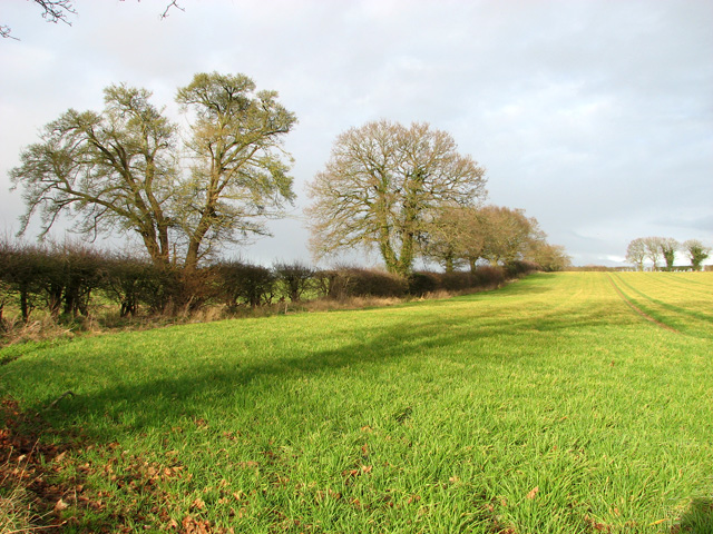
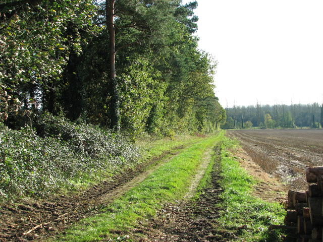
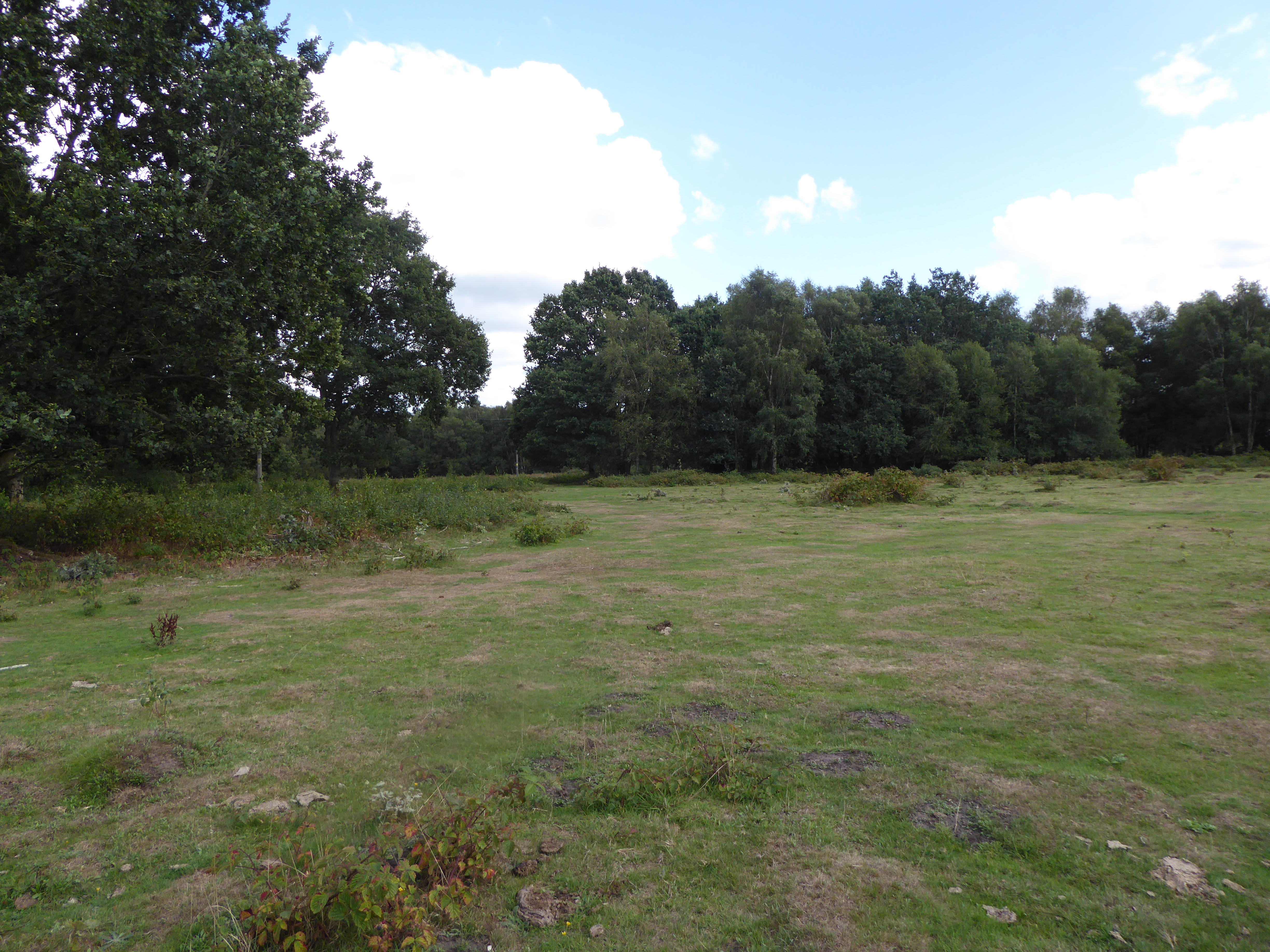
Priory Belt, Norfolk, is a woodland area located in the eastern region of England. Situated within the county of Norfolk, this forested belt stretches across a vast expanse, covering an area of approximately 200 square kilometers.

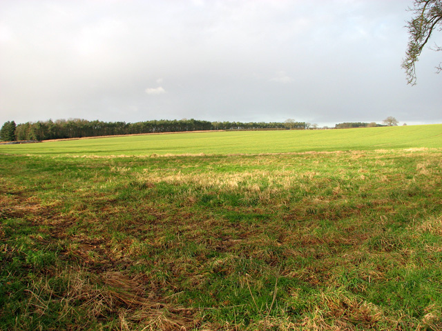
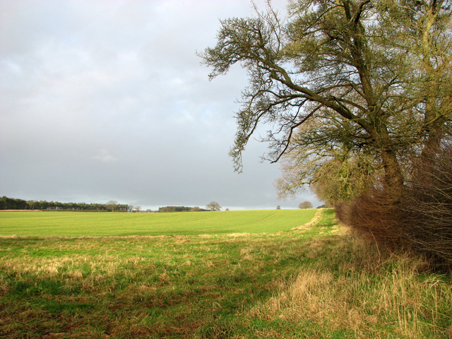
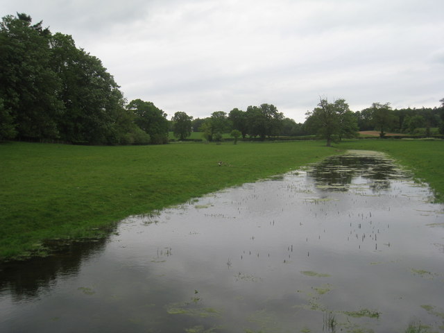
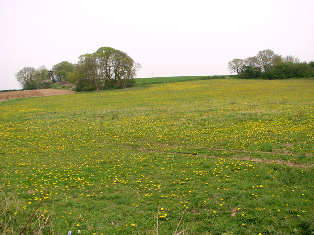
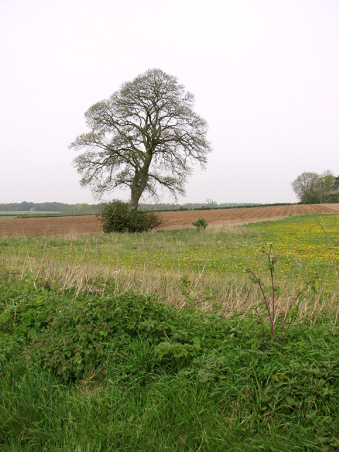
Priory Belt is known for its lush greenery and diverse flora and fauna. The woodland is predominantly made up of native tree species such as oak, beech, and ash, creating a picturesque and tranquil environment. The forest floor is rich in vegetation, with a variety of wildflowers, ferns, and mosses thriving in the damp and shaded conditions.

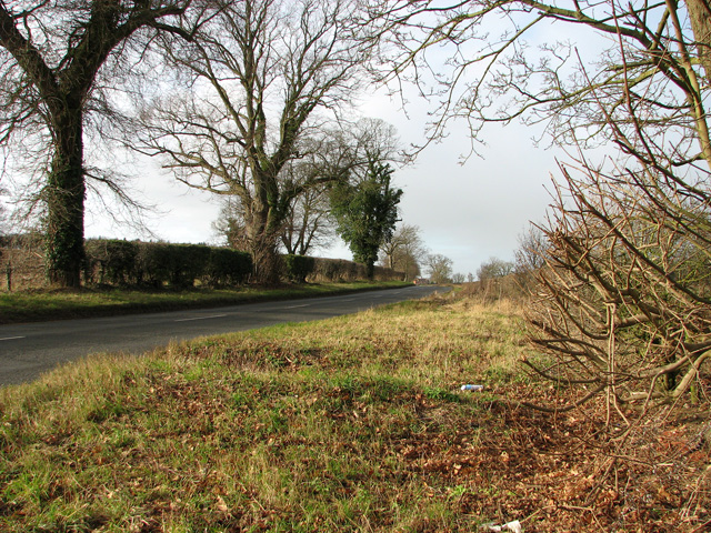
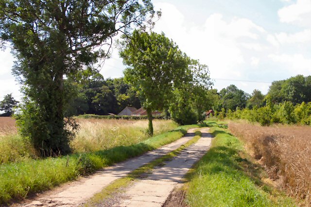
This woodland area has a long and intriguing history. It is believed that the Priory Belt was once part of the hunting grounds of the medieval priory located nearby, hence the name. The forest has witnessed centuries of human activity, including logging and charcoal production.

Today, Priory Belt is a popular destination for nature enthusiasts and outdoor enthusiasts alike. The forest offers numerous walking trails and paths, allowing visitors to explore its beauty and immerse themselves in nature. The area is also home to a wide range of wildlife, including deer, foxes, badgers, and numerous species of birds.

In addition to its natural beauty, Priory Belt also plays a vital role in environmental conservation. Efforts are made to protect and preserve the woodland, ensuring that it remains a haven for wildlife and a cherished natural resource for future generations to enjoy.

Overall, Priory Belt, Norfolk, is a captivating woodland area that offers a glimpse into the region's natural heritage. Its scenic beauty, rich biodiversity, and historical significance make it a must-visit destination for those seeking to connect with nature and explore the wonders of Norfolk.

If you have any feedback on the listing, please let us know in the comments section below.

Priory Belt Images

Images are sourced within 2km of 52.721245/0.78134317 or Grid Reference TF8717. Thanks to Geograph Open Source API. All images are credited.

Bare trees and field boundary hedge
View west along the B1145
Cultivated field in January sunshine
Field boundary north of the B1145
Copse in field north of the B1145 road
Entrance into a field north of the B1145
The upper end of Broad Water Part of an artificial lake.
The upper end of Broad Water
Part of an artificial lake.
Woodland lane at East Lexham Three-Cornered Plantation on the left, Gardener's Plantation on the right.
Woodland lane at East Lexham
Three-Cornered Plantation on the left, Gardener's Plantation on the right.
Farmland at East Lexham The woodland known as Suttons in the background.
Farmland at East Lexham
The woodland known as Suttons in the background.
Dandelions in meadow beside Watery Lane
Tree growing on field boundary
Church Street, Litcham The shop on the corner was built around 1860, see <span class="nowrap"><a title="http://www.britishlistedbuildings.co.uk/en-220431-1-tittleshall-road-litcham-norfolk" rel="nofollow ugc noopener" href="http://www.britishlistedbuildings.co.uk/en-220431-1-tittleshall-road-litcham-norfolk">Link</a><img style="margin-left:2px;" alt="External link" title="External link - shift click to open in new window" src="https://s1.geograph.org.uk/img/external.png" width="10" height="10"/></span>. Bull pub on the other side of the junction dates from the C17 with C18 stables, see <span class="nowrap"><a title="http://www.britishlistedbuildings.co.uk/en-220427-the-bull-inn-litcham-norfolk" rel="nofollow ugc noopener" href="http://www.britishlistedbuildings.co.uk/en-220427-the-bull-inn-litcham-norfolk">Link</a><img style="margin-left:2px;" alt="External link" title="External link - shift click to open in new window" src="https://s1.geograph.org.uk/img/external.png" width="10" height="10"/></span>
Church Street, Litcham
The shop on the corner was built around 1860, see LinkExternal link. Bull pub on the other side of the junction dates from the C17 with C18 stables, see LinkExternal link
All Saints' church, Litcham The church was consecrated in 1412. The brick tower is a little later and bears a datestone of 1669. The church was restored and reseated in 1850.
All Saints' church, Litcham
The church was consecrated in 1412. The brick tower is a little later and bears a datestone of 1669. The church was restored and reseated in 1850.
Litcham, village sign and notice board The sign shows a leather tanner at work, Matthew Halcott. Leather tanning was an important industry in Litcham in the Elizabethan era.by the C15.

The plaque at the bottom of the notice board reads:

"The top panel shows Matthew Halcott, a master tanner standing by a tanning board, tanning knife in hand. He lived at priory farm, an ardent royalist he built the church tower in 1668 as a thanksgiving for the restoration of Charles II.

The coat of arms is that of Sir Thomas Felton K.C. the last resident Lord of the Manor of Litcham. He fought at Crecy & Poitiers and died in 1381."

The sign is in the old market square. The market was granted its charter by Edward I but by 1836 it had ceased to function.
Litcham, village sign and notice board
The sign shows a leather tanner at work, Matthew Halcott. Leather tanning was an important industry in Litcham in the Elizabethan era.by the C15. The plaque at the bottom of the notice board reads: "The top panel shows Matthew Halcott, a master tanner standing by a tanning board, tanning knife in hand. He lived at priory farm, an ardent royalist he built the church tower in 1668 as a thanksgiving for the restoration of Charles II. The coat of arms is that of Sir Thomas Felton K.C. the last resident Lord of the Manor of Litcham. He fought at Crecy & Poitiers and died in 1381." The sign is in the old market square. The market was granted its charter by Edward I but by 1836 it had ceased to function.
Cottages beside Lexham Road
Farm track past Priory Belt
Stubble field west of Priory Belt
Trees in hedge beside Lexham Road
Show me another place!

Priory Belt is located at Grid Ref: TF8717 (Lat: 52.721245, Lng: 0.78134317)

Administrative County: Norfolk

District: Breckland

Police Authority: Norfolk

What 3 Words

///puzzle.cutaway.reverses. Near Necton, Norfolk

Related Wikis

Litcham Common

Litcham Common is a 24.9-hectare (62-acre) Local Nature Reserve in Norfolk. It is owned by Neil Foster, Lexham Estate, and managed by Norfolk County...
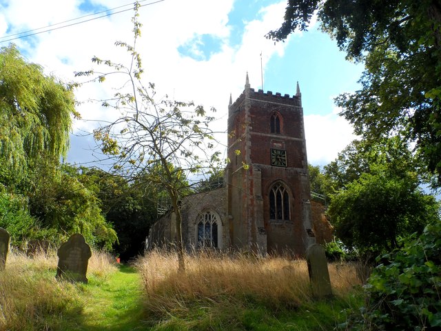
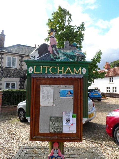
Litcham

Litcham is a village and civil parish in the English county of Norfolk. It is situated some 10 km (6.2 mi) north-east of the town of Swaffham and 40 km...

Litcham School

Litcham School is a mixed all-through school located in the village of Litcham in the English county of Norfolk. It has around 640 pupils aged 4–16 (Years...

Kempstone

Kempstone is a village situated in Breckland District of Norfolk and covers an area of 331 hectares (1.3 square miles) with an estimated population of...

Nearby Amenities

Located within 500m of 52.721245,0.78134317
Power: pole
Lat/Long: 52.7217572/0.7848251
Power: pole
Lat/Long: 52.7228717/0.7856458
Power: pole
Lat/Long: 52.7193406/0.783061
Power: pole
Lat/Long: 52.7204803/0.7839024
Power: pole
Lat/Long: 52.7244052/0.7865417
Barrier: kissing_gate
Lat/Long: 52.7174204/0.7793261
The data included in this document is from www.openstreetmap.org. The data is made available under ODbL.

Have you been to Priory Belt?

Leave your review of Priory Belt below (or comments, questions and feedback).