Baker's Belt
Wood, Forest in Norfolk North Norfolk
England
Baker's Belt

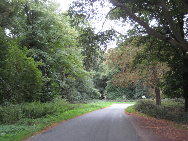
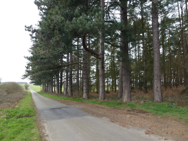
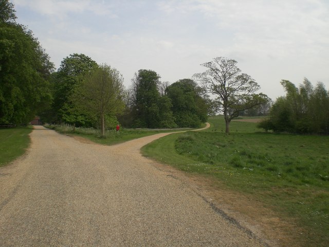
Baker's Belt is a picturesque woodland located in Norfolk, England. Spanning across a vast area, this forest is widely known for its rich biodiversity and serene atmosphere. The name "Baker's Belt" is derived from its historical association with the baking industry, as the forest was once a prime source of timber for local bakeries.
With its dense canopy and towering trees, Baker's Belt is a haven for nature enthusiasts and hikers alike. The woodland is home to a diverse range of plant and animal species, including oak, beech, and chestnut trees. These trees provide a habitat for various bird species such as thrushes, woodpeckers, and owls, making it a popular spot for birdwatching.
The forest floor is adorned with a vibrant carpet of wildflowers during the spring and summer months, adding to the area's natural beauty. Visitors can enjoy leisurely walks along the well-maintained trails, immersing themselves in the tranquility of the surrounding environment.
Baker's Belt also offers various recreational activities for visitors. There are designated picnic areas where families and friends can relax and enjoy a meal amidst nature. Additionally, the forest is equipped with cycling trails and horse riding paths, catering to outdoor enthusiasts of all ages.
The forest management ensures the preservation of Baker's Belt's natural ecosystem while also providing educational programs and guided tours. These initiatives help raise awareness about the importance of conservation and sustainable practices.
Overall, Baker's Belt in Norfolk is a stunning woodland that provides a peaceful retreat for those seeking solace in nature. Its diverse flora and fauna, coupled with its recreational offerings, make it a popular destination for locals and tourists alike.
If you have any feedback on the listing, please let us know in the comments section below.
Baker's Belt Images
Images are sourced within 2km of 52.901957/0.79155556 or Grid Reference TF8737. Thanks to Geograph Open Source API. All images are credited.


Baker's Belt is located at Grid Ref: TF8737 (Lat: 52.901957, Lng: 0.79155556)
Administrative County: Norfolk
District: North Norfolk
Police Authority: Norfolk
What 3 Words
///talking.pampering.passports. Near Wells-next-the-Sea, Norfolk
Nearby Locations
Related Wikis
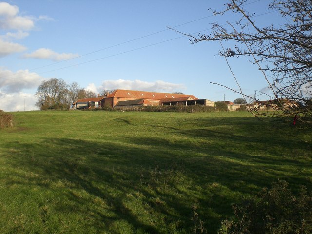
Quarles, Norfolk
Quarles is a hamlet and former civil parish, now in the civil parish of Holkham, in the North Norfolk district, in the county of Norfolk, England. The...
Waterden medieval settlement
Waterden medieval settlement is a deserted medieval village in Norfolk, England, about 3 miles (4.8 km) west of Walsingham. It is a Scheduled Monument...
Egmere medieval settlement
Egmere medieval settlement is a deserted medieval village in Norfolk, England, about 2.5 miles (4.0 km) west of Walsingham. It is a Scheduled Monument...

RAF North Creake
Royal Air Force North Creake or more simply RAF North Creake is a former Royal Air Force station located 3.3 miles (5.3 km) southwest of Wells-next-the...

North Creake
North Creake is a village and civil parish in the north west of the English county of Norfolk. It covers an area of 14.99 km2 (5.79 sq mi) and had a population...

South Creake
South Creake is a village and civil parish in north west Norfolk, England. The village lies 1+1⁄2 miles (2.4 km) south of its twin village of North Creake...

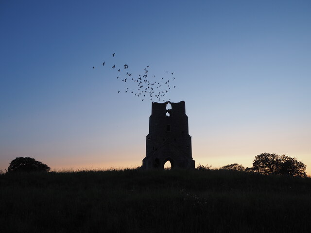
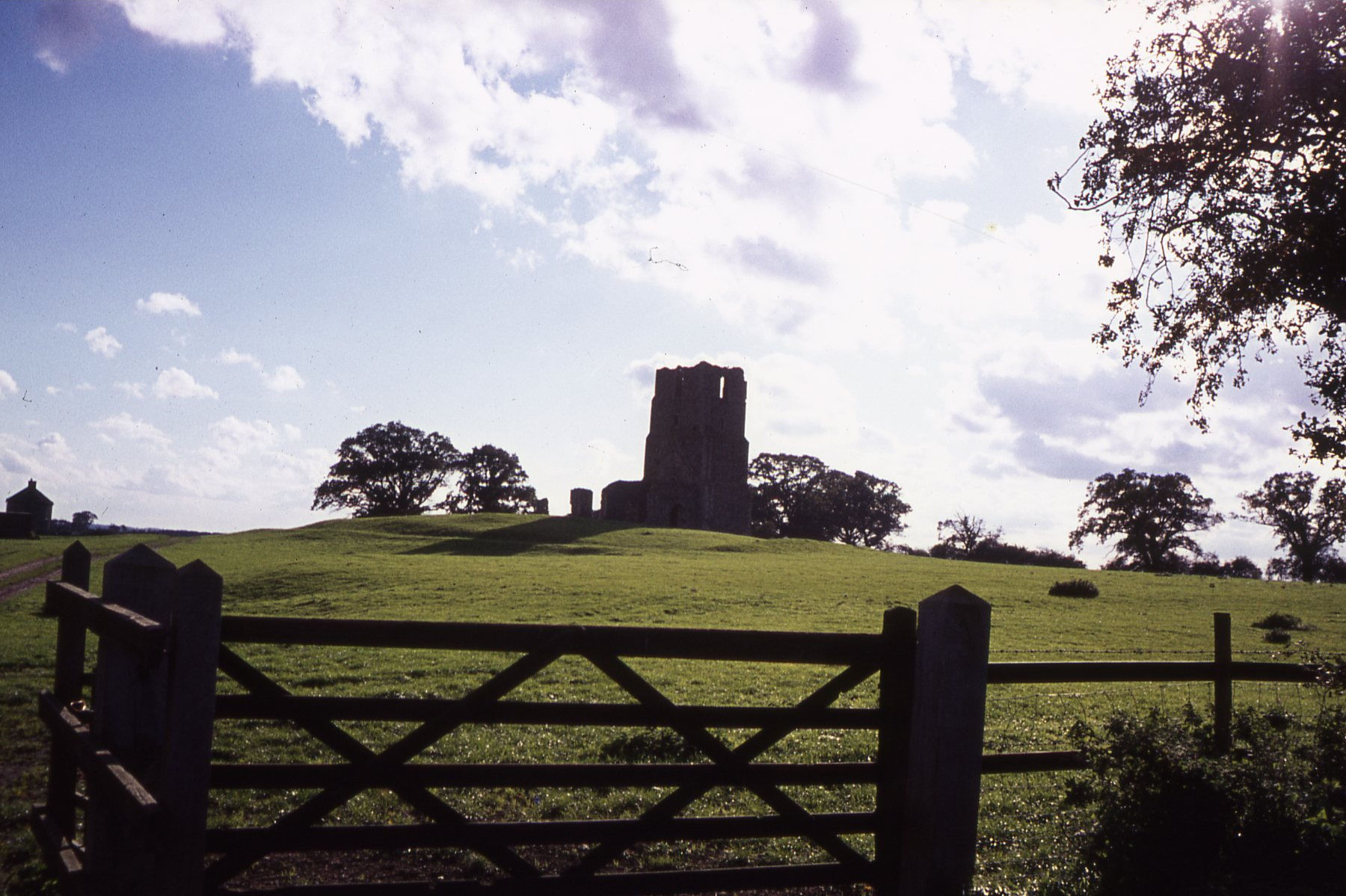
Creake Abbey
Creake Abbey is a ruined abbey in Norfolk, England, situated alongside the River Burn and a mile to the north of the village of North Creake. The abbey...

Bloodgate Hill Iron Age Fort
The Bloodgate Hill Iron Age Fort is an Iron Age hill fort in Norfolk, England, situated on a hill above the village of South Creake in the north of the...
Have you been to Baker's Belt?
Leave your review of Baker's Belt below (or comments, questions and feedback).