D Plantation
Wood, Forest in Suffolk West Suffolk
England
D Plantation
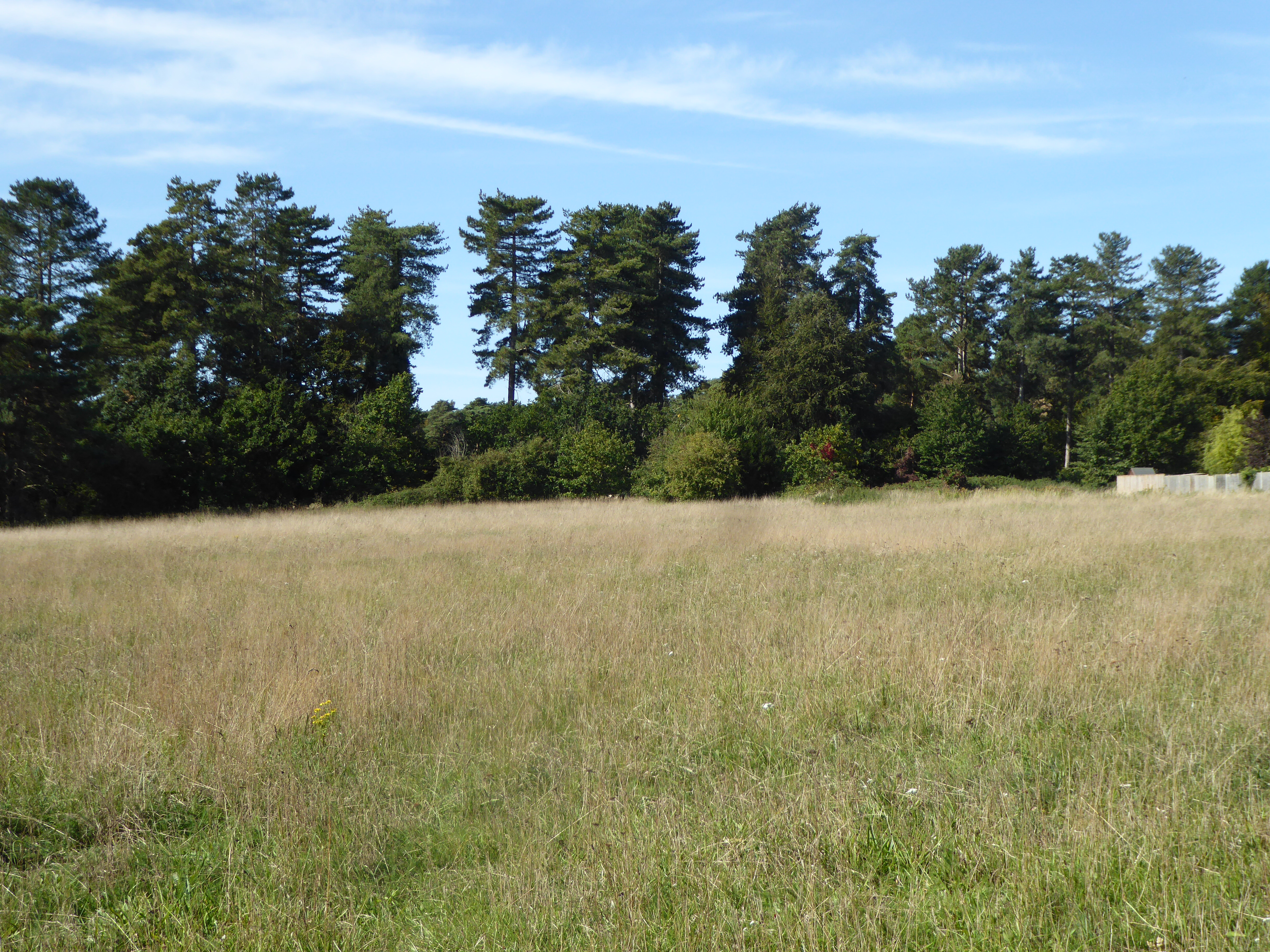
D Plantation, located in Suffolk, England, is a picturesque woodland area known for its natural beauty and diverse flora and fauna. Covering an expansive area of approximately 200 acres, D Plantation is a popular destination for nature enthusiasts and outdoor enthusiasts alike.
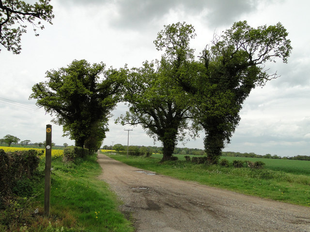
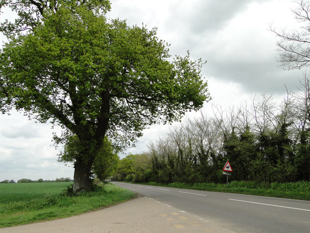
The plantation is primarily made up of deciduous trees, such as oak, beech, and birch, which create a stunning display of vibrant colors during the autumn season. The dense woodland provides a tranquil environment, making it an ideal spot for walking, hiking, and birdwatching.
Within the plantation, there are several well-maintained trails that allow visitors to explore the area at their own pace. These trails wind through the woodland, offering breathtaking views of the surrounding countryside and glimpses of wildlife, including deer, foxes, and a variety of bird species.
D Plantation is also home to a diverse range of plant species, including bluebells, wild garlic, and wood anemones, which carpet the forest floor in a stunning display during the spring months. This seasonal spectacle attracts visitors from far and wide, keen to witness the vibrant burst of colors.
The plantation is managed by the local authorities, who strive to maintain the natural habitat and protect the wildlife. They also organize educational programs and guided walks to raise awareness about the importance of conservation and the rich biodiversity found within the plantation.
Overall, D Plantation in Suffolk is a true gem for nature lovers, offering a tranquil escape from the hustle and bustle of city life. With its diverse ecosystem, stunning landscapes, and well-maintained trails, it is no wonder that D Plantation remains a popular destination for both locals and visitors alike.
If you have any feedback on the listing, please let us know in the comments section below.
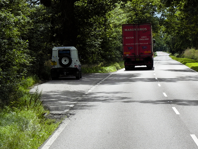
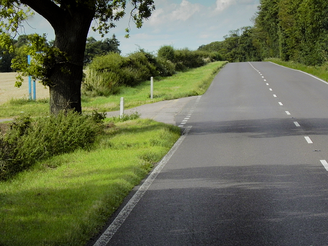
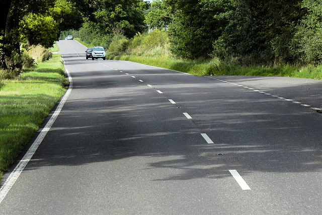
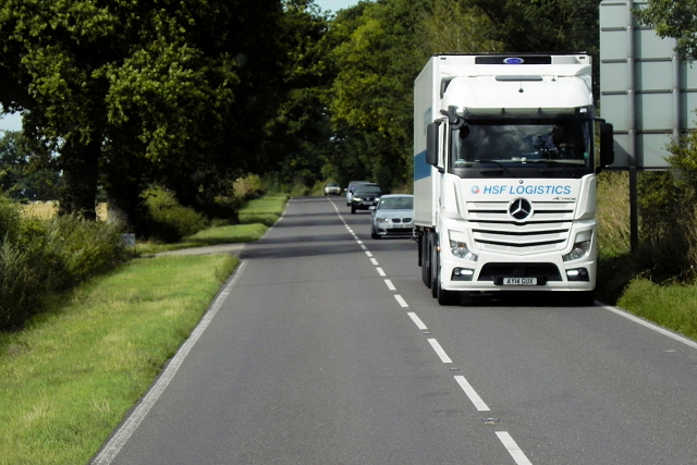
D Plantation Images
Images are sourced within 2km of 52.358584/0.75706317 or Grid Reference TL8776. Thanks to Geograph Open Source API. All images are credited.


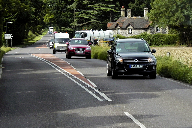
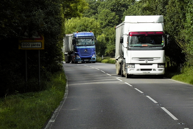
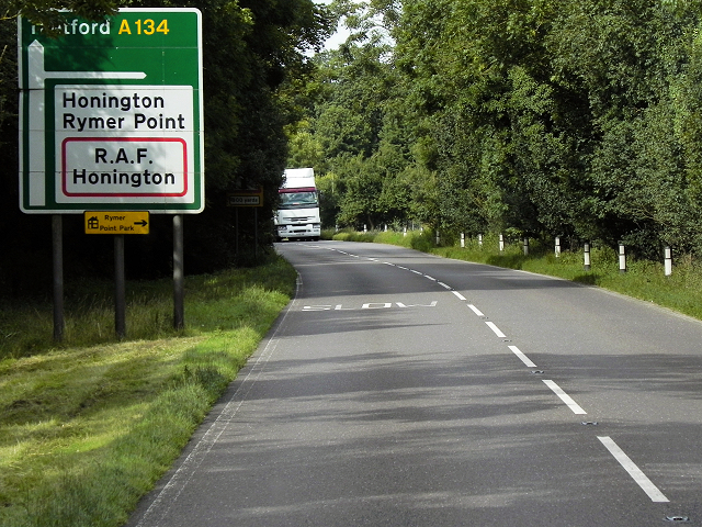


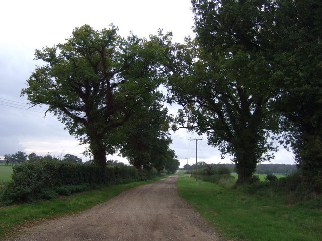


D Plantation is located at Grid Ref: TL8776 (Lat: 52.358584, Lng: 0.75706317)
Administrative County: Suffolk
District: West Suffolk
Police Authority: Suffolk
What 3 Words
///value.crossword.tycoons. Near Thetford, Norfolk
Nearby Locations
Related Wikis

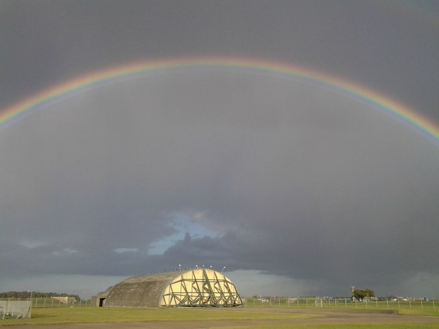
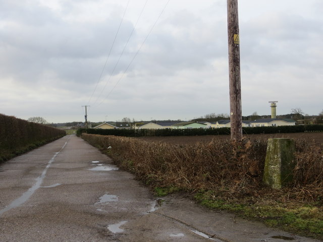
RAF Honington
Royal Air Force Honington or more simply RAF Honington (IATA: BEQ, ICAO: EGXH) is a Royal Air Force station located 6 mi (9.7 km) south of Thetford near...

Barnham Windmill, Suffolk
Barnham Mill is a tower mill at Barnham, Suffolk, England which has been converted to residential accommodation. == History == Barnham Mill was built for...

Barnham, Suffolk
Barnham is a village and civil parish in the West Suffolk district of the English county of Suffolk about 3 miles (4.8 km) south of Thetford and 9 miles...

Euston Hall
Euston Hall is a country house, with park by William Kent and Capability Brown, located in Euston, a small village in Suffolk located just south of Thetford...

Brandon Rural District
Brandon was a rural district in Suffolk, England from 1894 to 1935. The district was created in 1894 as the Suffolk part of the Thetford rural sanitary...

Euston, Suffolk
Euston is a village and civil parish in the West Suffolk district of Suffolk in eastern England. Located on the A1088 around two miles south of Thetford...
Elm Road Field, Thetford
Elm Road Field, Thetford is a 5-hectare (12-acre) biological Site of Special Scientific Interest on the southern outskirts of Thetford in Norfolk.This...

Little Heath, Barnham
Little Heath, Barnham lies south-west of Barnham, Suffolk. Much of the area is now a Site of Special Scientific Interest, which almost surrounds the former...
Have you been to D Plantation?
Leave your review of D Plantation below (or comments, questions and feedback).