Lawn Wood
Wood, Forest in Norfolk Breckland
England
Lawn Wood

Lawn Wood, located in Norfolk, England, is a picturesque woodland area known for its natural beauty and tranquility. Spanning over a significant area, this forested region is a popular destination for nature enthusiasts, hikers, and wildlife enthusiasts alike.
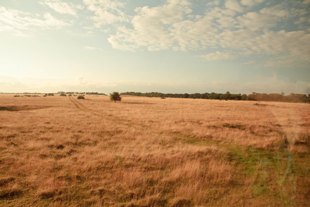
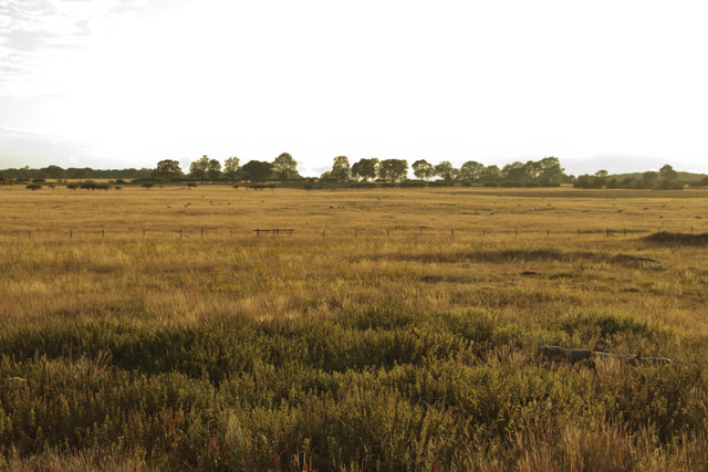
The wood is characterized by a dense canopy of various tree species, including oak, beech, and birch. The towering trees provide shade and shelter, creating a cool and refreshing environment. The forest floor is covered in a thick carpet of moss and ferns, adding to the enchanting atmosphere.
Lawn Wood is home to a diverse range of flora and fauna. Many native bird species can be found here, including woodpeckers, owls, and thrushes. Small mammals, such as squirrels and rabbits, are also commonly spotted scurrying through the undergrowth. Additionally, the wood hosts a variety of insects and butterflies, making it an ideal spot for insect enthusiasts.
Visitors to Lawn Wood can explore the numerous walking trails that wind through the forest. These paths offer breathtaking views of the surrounding landscape and provide an opportunity to immerse oneself in nature. The wood also features picnic areas and benches, allowing visitors to relax and enjoy the peaceful ambiance.
Overall, Lawn Wood in Norfolk is a haven for nature lovers, offering a serene environment, diverse wildlife, and stunning scenery. Whether one seeks a tranquil escape or an opportunity to observe and appreciate the natural world, Lawn Wood is a destination that guarantees an enriching experience.
If you have any feedback on the listing, please let us know in the comments section below.
Lawn Wood Images
Images are sourced within 2km of 52.553194/0.76824941 or Grid Reference TL8798. Thanks to Geograph Open Source API. All images are credited.


Lawn Wood is located at Grid Ref: TL8798 (Lat: 52.553194, Lng: 0.76824941)
Administrative County: Norfolk
District: Breckland
Police Authority: Norfolk
What 3 Words
///exonerate.nuns.mastering. Near Watton, Norfolk
Nearby Locations
Related Wikis
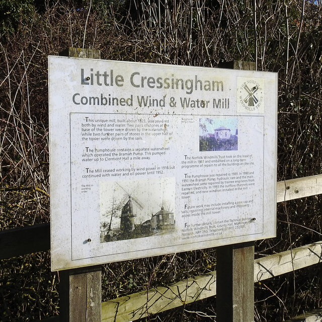
Little Cressingham
Little Cressingham lies 2.5 miles (4.0 km) south east by road from Great Cressingham, 3 miles (4.8 km) west of Watton and 8 miles (13 km) south of Swaffham...
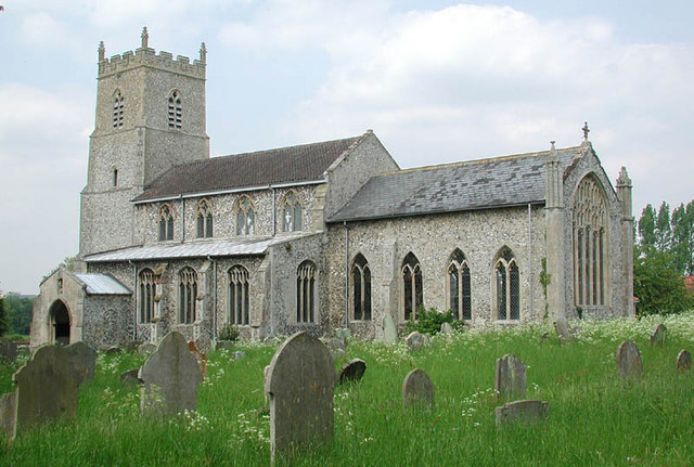
Great Cressingham
Great Cressingham is a Norfolk village which lies about 5 miles (8 km) of Watton, 6 miles (10 km) south of Swaffham and only 1.5 miles (2.4 km) off the...
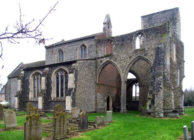
Threxton, All Saints
Threxton All Saints is a round-tower church at Threxton Hill, situated east of the village of Little Cressingham and west of the town of Watton in the...
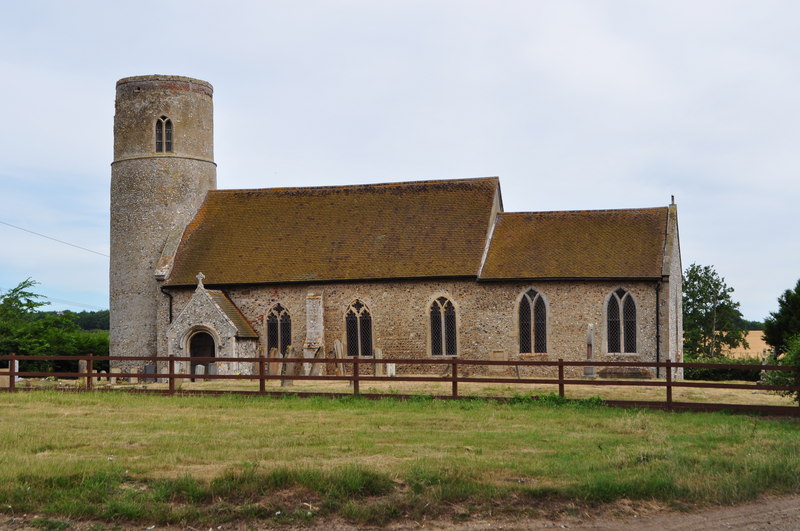
Merton, Norfolk
Merton is a civil parish in the English county of Norfolk. It covers an area of 5.94 km2 (2.29 sq mi) and had a population of 113 in 50 households at the...

Old Bodney Camp
Old Bodney Camp is a 32.8-hectare (81-acre) biological Site of Special Scientific Interest west of Little Cressingham in Norfolk. It is part of the Breckland...

Merton Hall, Norfolk
Merton Hall is a 19th century country house in Merton, Norfolk, England. The extant north-west wing is a Grade II listed building. The 17th-century gatehouse...

Tottington, Norfolk
Tottington is a deserted village and civil parish in the English county of Norfolk. It is situated some 6.2 miles (10.0 km) north of the town of Thetford...

Stanford Training Area
The Stanford Training Area (STANTA), originally known as the Stanford Battle Area, is a British Army training area situated in the English county of Norfolk...
Nearby Amenities
Located within 500m of 52.553194,0.76824941Have you been to Lawn Wood?
Leave your review of Lawn Wood below (or comments, questions and feedback).