Ash Plantation
Wood, Forest in Norfolk Breckland
England
Ash Plantation
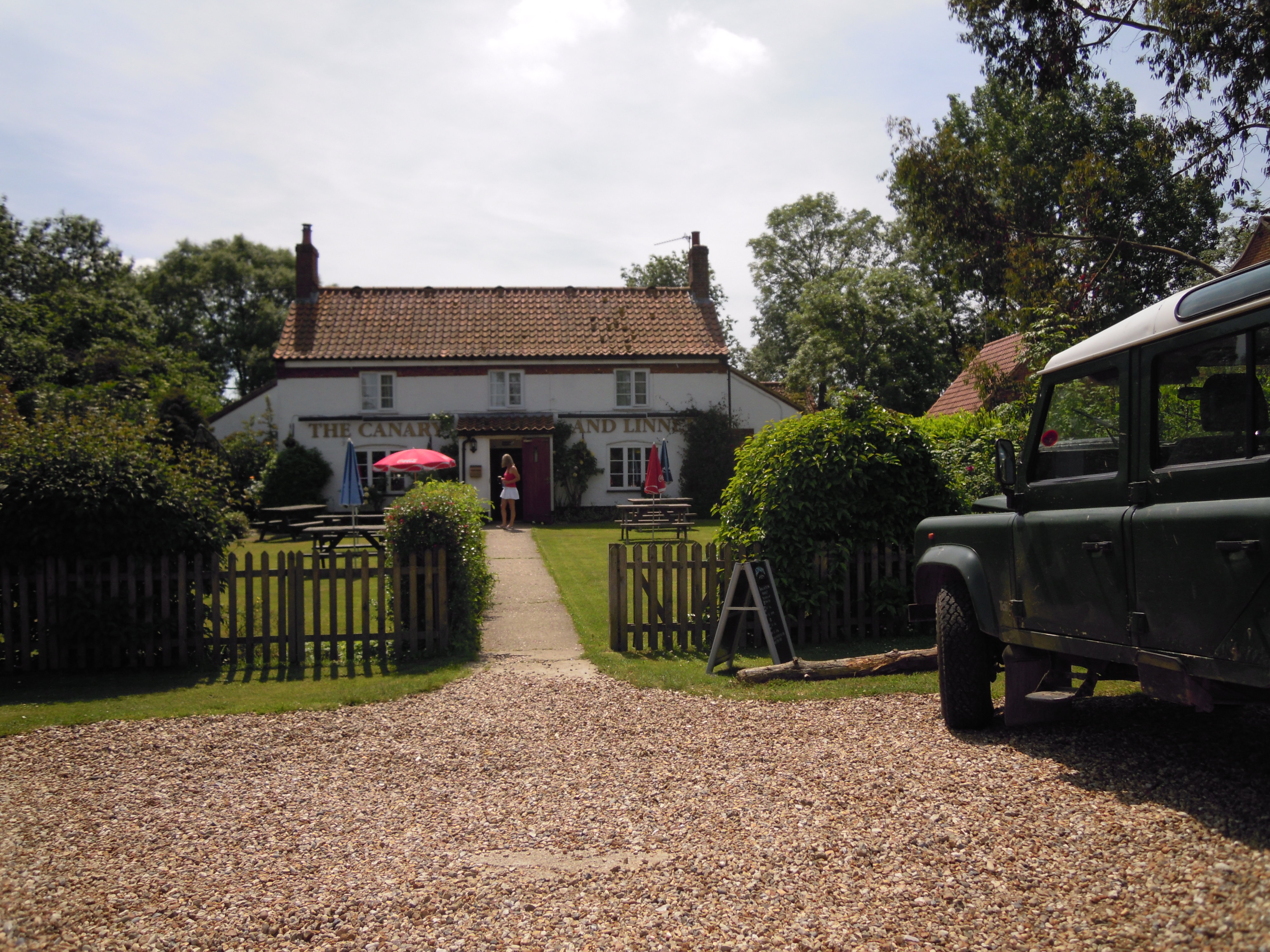
![Former Fransham station, with rolling-stock 1991 View westward, towards Swaffham and King's Lynn: ex-GER Norwich - Wymondham - Dereham - Swaffham - King's Lynn line. The station closed, with line west from Dereham from 9/9/68. However, it is well preserved as a private house and the owner has kept an ex-GER coach and a small Diesel locomotive (of unknown provenance [?]) in his garden.](https://s0.geograph.org.uk/geophotos/03/53/69/3536932_7ff788a1.jpg)
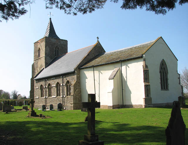
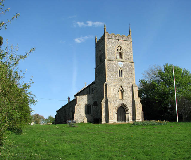
Ash Plantation is a picturesque woodland located in Norfolk, England. Covering an expansive area, it is known for its dense population of ash trees, which give the plantation its name. The plantation is situated in a rural setting, surrounded by rolling hills and fields, offering visitors a tranquil and serene atmosphere.
The woodland is well-maintained and managed, with clear pathways and trails for visitors to explore. These paths wind their way through the plantation, allowing visitors to fully immerse themselves in the natural beauty of the area. The plantation is popular among hikers, nature enthusiasts, and photographers, who are drawn to its scenic landscapes and rich biodiversity.
The ash trees in the plantation are of varying ages and sizes, creating a visually appealing contrast within the woodland. The trees provide a habitat for a diverse range of flora and fauna, including various bird species and small mammals. The plantation is also home to a variety of wildflowers and undergrowth, creating a vibrant and colorful environment during the spring and summer months.
Visitors to Ash Plantation can expect to encounter a peaceful and tranquil atmosphere, away from the hustle and bustle of urban life. Whether it is to enjoy a leisurely walk, observe wildlife, or simply appreciate the beauty of nature, the plantation offers a serene escape for all who visit.
If you have any feedback on the listing, please let us know in the comments section below.
Ash Plantation Images
Images are sourced within 2km of 52.681433/0.76993401 or Grid Reference TF8712. Thanks to Geograph Open Source API. All images are credited.


Ash Plantation is located at Grid Ref: TF8712 (Lat: 52.681433, Lng: 0.76993401)
Administrative County: Norfolk
District: Breckland
Police Authority: Norfolk
What 3 Words
///tins.snack.magazines. Near Necton, Norfolk
Related Wikis


Nearby Amenities
Located within 500m of 52.681433,0.76993401Have you been to Ash Plantation?
Leave your review of Ash Plantation below (or comments, questions and feedback).