Black Post Wood
Wood, Forest in Kent Maidstone
England
Black Post Wood

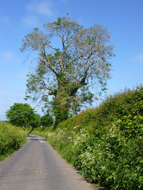
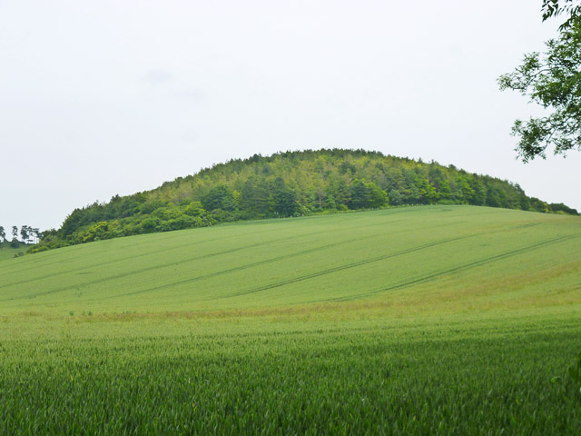
Black Post Wood is a picturesque woodland located in the county of Kent, England. Situated near the village of Black Post, this woodland covers an area of approximately 100 acres. It is a popular destination for nature enthusiasts and hikers due to its stunning natural beauty and diverse wildlife.
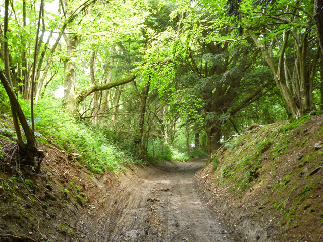
The woodland is predominantly composed of mature oak trees, creating a dense and lush canopy that provides a cool and tranquil atmosphere. Alongside the oaks, there are also beech, birch, and ash trees scattered throughout the area, adding variety to the landscape. The forest floor is covered with a thick layer of leaf litter, providing a habitat for numerous species of insects and small mammals.
Black Post Wood is home to a wide range of wildlife, making it a haven for nature lovers. Birdwatchers can spot species such as woodpeckers, owls, and various songbirds, while the luckiest visitors may even catch a glimpse of a deer or fox roaming through the undergrowth. The woodland is also home to a variety of butterflies and other insects, which thrive in the diverse range of plants and flowers found within.
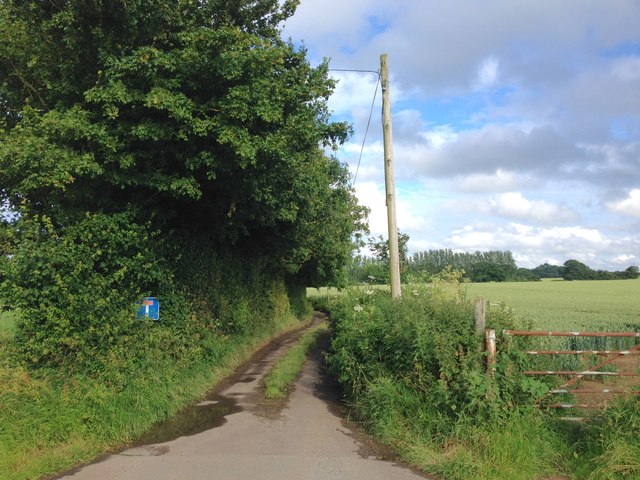
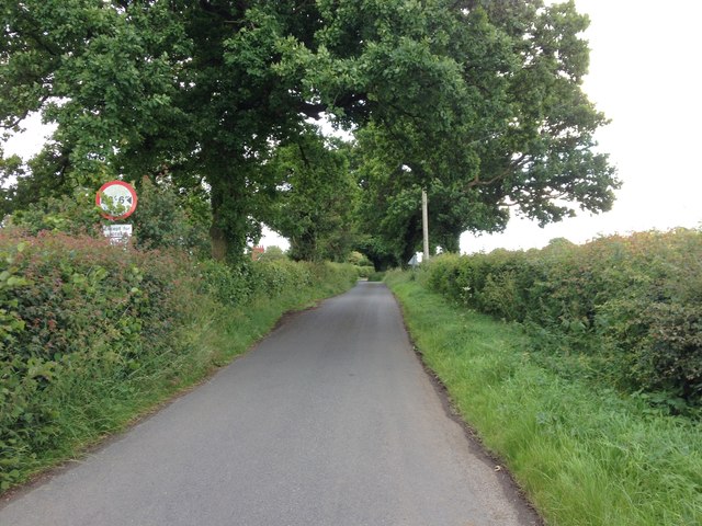
The wood is crisscrossed by a network of walking trails, allowing visitors to explore its beauty at their own pace. These paths lead to tranquil clearings and secluded spots, perfect for picnics or simply enjoying the peacefulness of nature. Additionally, there are several benches strategically placed throughout the woodland, offering visitors the chance to rest and take in the serene surroundings.
Overall, Black Post Wood in Kent is a captivating natural landscape that offers an escape from the hustle and bustle of everyday life. Its ancient trees, diverse wildlife, and tranquil atmosphere make it a must-visit destination for anyone seeking a connection with nature.
If you have any feedback on the listing, please let us know in the comments section below.
Black Post Wood Images
Images are sourced within 2km of 51.267356/0.68362732 or Grid Reference TQ8755. Thanks to Geograph Open Source API. All images are credited.


Black Post Wood is located at Grid Ref: TQ8755 (Lat: 51.267356, Lng: 0.68362732)
Administrative County: Kent
District: Maidstone
Police Authority: Kent
What 3 Words
///pipe.propelled.victor. Near Harrietsham, Kent
Nearby Locations
Related Wikis
Ringlestone
Ringlestone is a hamlet between Wormshill and Harrietsham in the Maidstone district of Kent, England. It is in the civil parish of Wormshill. Ringlestone...
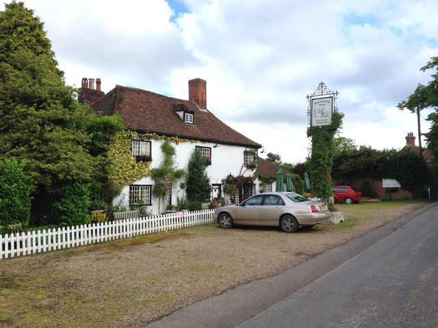
Ringlestone Inn
The Ringlestone Inn is an historic public house and restaurant, located in the Ringlestone hamlet near the village of Wormshill in Kent, England. Dating...

Wormshill
Wormshill ( wurmz-HIL), historically Wormsell, is a small village and civil parish within the Borough of Maidstone, Kent, England. The parish is approximately...
St Giles Church, Wormshill
St Giles Church is the sole church in the village of Wormshill in Kent. The church is Anglican and is dedicated to Saint Giles. It forms part of the united...

Frinsted
Frinsted or Frinstead is a small village and civil parish in the ecclesiastical parish of Wormshill and in the Maidstone District of Kent, England. and...

Bedmonton
Bedmonton or Bedmanton is a hamlet situated about five miles (8 km) on a minor road between the B2163 road and Wormshill to the south of Sittingbourne...

Hollingbourne Downs
Hollingbourne Downs is a 60.9-hectare (150-acre) biological Site of Special Scientific Interest east of Maidstone in Kent.This escarpment has unimproved...

St John the Baptist's Church, Harrietsham
St John the Baptist's Church is a parish church in Marley Road, Harrietsham, Kent dedicated to John the Baptist. It was begun in the late 11th century...
Nearby Amenities
Located within 500m of 51.267356,0.68362732Have you been to Black Post Wood?
Leave your review of Black Post Wood below (or comments, questions and feedback).