Flyford Flavell

Settlement in Worcestershire Wychavon

England

Flyford Flavell

Footpath to North Piddle There are no roads through this square, just a couple of footpaths. There is one house on the western boundary, the rest is farmland, with a few lakes to the east of the square.
Footpath to North Piddle Credit: Philip Halling

The requested URL returned error: 503 Service Temporarily Unavailable

If you have any feedback on the listing, please let us know in the comments section below.

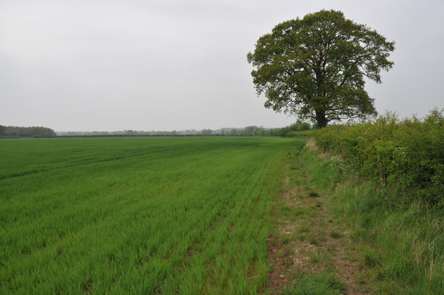
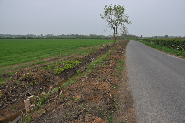
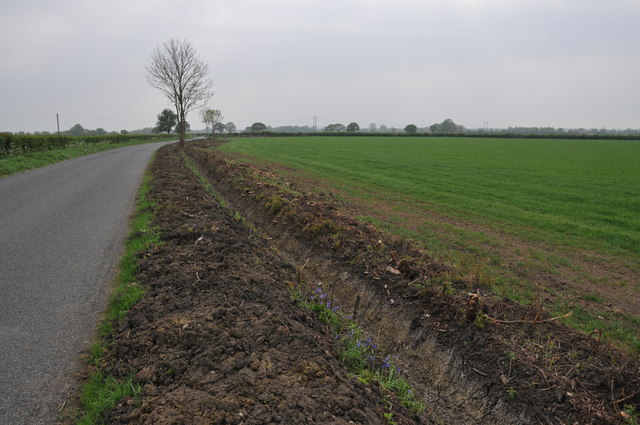
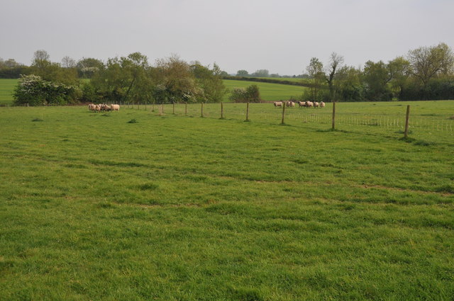
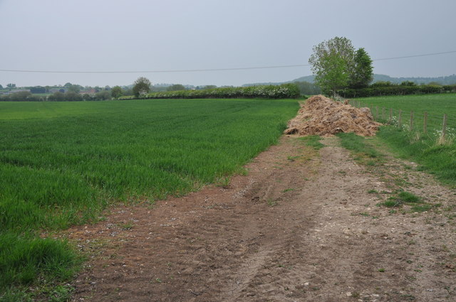
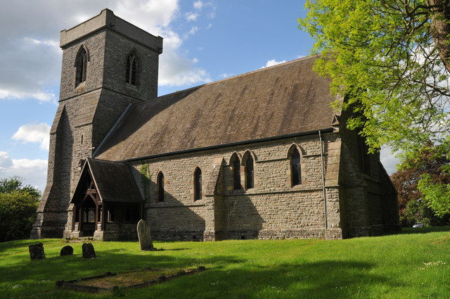
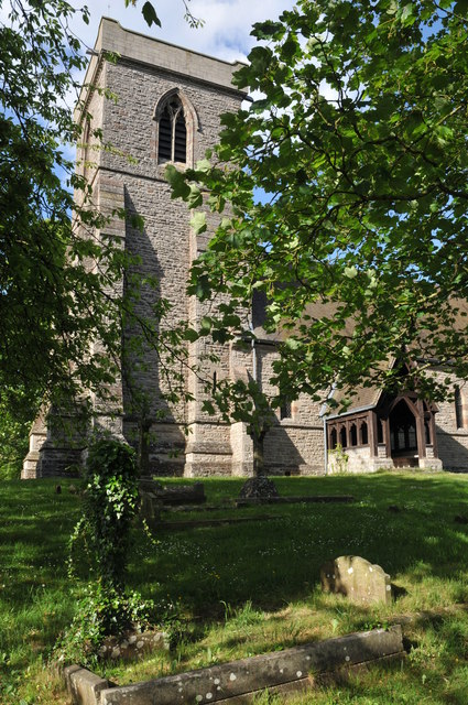
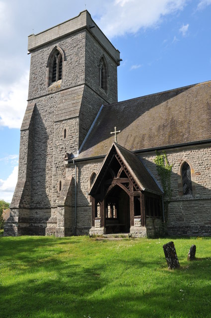
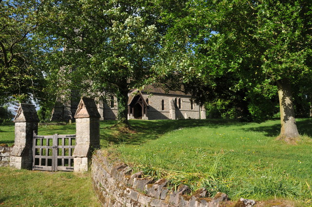
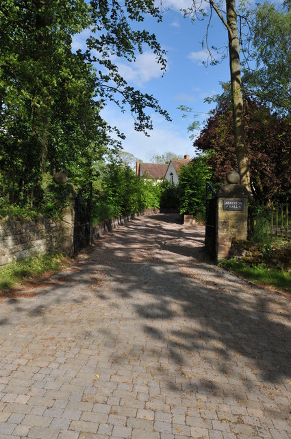
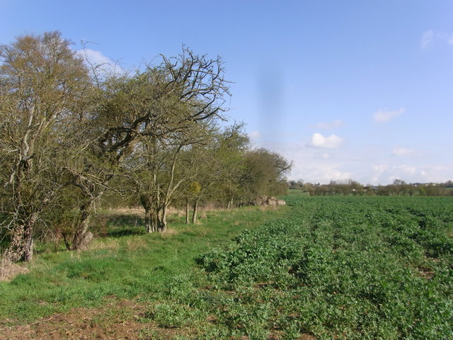
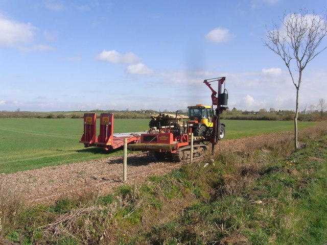
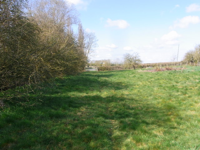
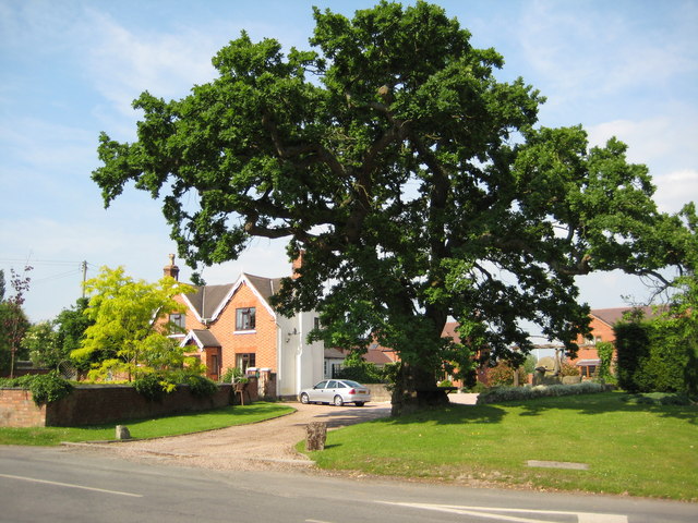
Flyford Flavell Images

Images are sourced within 2km of 52.191105/-2.029065 or Grid Reference SO9854. Thanks to Geograph Open Source API. All images are credited.

Footpath to North Piddle There are no roads through this square, just a couple of footpaths. There is one house on the western boundary, the rest is farmland, with a few lakes to the east of the square.
Footpath to North Piddle
There are no roads through this square, just a couple of footpaths. There is one house on the western boundary, the rest is farmland, with a few lakes to the east of the square.
Grubbed hedgerow Grubbed hedgerow and recently dug ditch beside a road to the east of Naunton Beauchamp.
Grubbed hedgerow
Grubbed hedgerow and recently dug ditch beside a road to the east of Naunton Beauchamp.
Grubbed hedgerow Grubbed hedgerow and recently dug ditch beside a road to Naunton Beauchamp.
Grubbed hedgerow
Grubbed hedgerow and recently dug ditch beside a road to Naunton Beauchamp.
Sheep near Cockshot Farm Sheep near Cockshot Farm near Kington.
Sheep near Cockshot Farm
Sheep near Cockshot Farm near Kington.
Arable land at Abberton A field of cereal beside the road to the north of Abberton.
Arable land at Abberton
A field of cereal beside the road to the north of Abberton.
Abberton church Abberton church is dedicated to St. Eadburga and was rebuilt in 1881–2 on the site of the old church
Abberton church
Abberton church is dedicated to St. Eadburga and was rebuilt in 1881–2 on the site of the old church
Abberton church Abberton church is dedicated to St. Eadburga and was rebuilt in 1881–2 on the site of the old church
Abberton church
Abberton church is dedicated to St. Eadburga and was rebuilt in 1881–2 on the site of the old church
Abberton church Abberton church is dedicated to St. Eadburga and was rebuilt in 1881–2 on the site of the old church
Abberton church
Abberton church is dedicated to St. Eadburga and was rebuilt in 1881–2 on the site of the old church
Entrance to Abberton church Entrance to Abberton church which is dedicated to St. Eadburga.  The church was rebuilt in 1881–2 on the site of the old church.
Entrance to Abberton church
Entrance to Abberton church which is dedicated to St. Eadburga. The church was rebuilt in 1881–2 on the site of the old church.
Entrance to Abberton Hall Abberton Hall is next to the parish church.
Entrance to Abberton Hall
Abberton Hall is next to the parish church.
Climb out of the road,  Flyford Flavell
Climb out of the road, Flyford Flavell
The Flyford Arms through the trees Taken from the footpath towards the village.
The Flyford Arms through the trees
Taken from the footpath towards the village.
Paths cross at the corner Taken at the crossing paths near Flyford Flavell. Lots of hedgerow trees have good colonies of mistletoe.
Paths cross at the corner
Taken at the crossing paths near Flyford Flavell. Lots of hedgerow trees have good colonies of mistletoe.
Follow the hedge, grassland near Flyford Flavell
Three parishes meet near this bridge The ditch forms the boundary between Flyford Flavell and Naunton Beauchamp, with North Piddle just the other side and to left of picture.
Three parishes meet near this bridge
The ditch forms the boundary between Flyford Flavell and Naunton Beauchamp, with North Piddle just the other side and to left of picture.
Edge of the copse by the footpath Path follows the parish boundary, Flyford Flavell and Naunton Beauchamp, next to the field of oil-seed rape.
Edge of the copse by the footpath
Path follows the parish boundary, Flyford Flavell and Naunton Beauchamp, next to the field of oil-seed rape.
Fencing work by the road border near Baynhall Farm
Bridleway in the paddock below Baynhall Farm
Show me another place!

Flyford Flavell is located at Grid Ref: SO9854 (Lat: 52.191105, Lng: -2.029065)

Administrative County: Worcestershire

District: Wychavon

Police Authority: West Mercia

What 3 Words

///central.regarding.ridiculed. Near Kington, Worcestershire

Nearby Locations

Flyford Flavell

Related Wikis

Flyford Flavell

Flyford Flavell is a village in Worcestershire , it has a traditional pub in the centre of the village adjacent to the village green and a first school...

Kington, Worcestershire

Kington is a village in Worcestershire, England, situated near to Flyford Flavell. == History == The earliest known recording of Kington in the Domesday...

Grafton Wood

Grafton Wood is a nature reserve near the village of Grafton Flyford, about 6 miles (9.7 km) east of Worcester, in Worcestershire, England. == Description... ==

North Piddle

North Piddle is a small civil parish in the Wychavon district of Worcestershire, England. It is located within a loop of Piddle Brook. North Piddle is...

Abberton, Worcestershire

Abberton is a small village in Worcestershire, England. In 1991, the population was 44, this grew to 67 in 24 households in 2001.The principal house in...

Abberton Hall

Abberton Hall is a small country house in the village of Abberton, Worcestershire, England, near Pershore. == History == It is an irregular two-story...

Radford, Worcestershire

Radford is a hamlet in the Wychavon district of Worcestershire, England. It is 1 mile SSW of Inkberrow. In 2013, Landscan population maps show there to...

Grafton Flyford

Grafton Flyford is a village about 6 miles (9.7 km) east of Worcester, in Worcestershire, England. It neighbours Stock Green, with the large farm house...

Nearby Amenities

Located within 500m of 52.191105,-2.029065
Source: survey
Lat/Long: 52.1925655/-2.0296231
Flyford Flavell- opposite Post Office
Naptan AtcoCode: 2000G030001
Naptan Bearing: SE
Naptan BusStopType: CUS
Naptan CommonName: Flyford Flavell- opposite Post Office
Naptan Indicator: Adj
Naptan Landmark: Post Office
Naptan NaptanCode: wocdpwgp
Naptan Street: Radford Road
Naptan Verified: no
Source: naptan_import
Lat/Long: 52.1929413/-2.0310612
Bus Stop
Flyford Flavell- Post Office
Bus: yes
Naptan AtcoCode: 2000G030002
Naptan Bearing: NW
Naptan CommonName: Flyford Flavell- Post Office
Naptan Indicator: Adj
Naptan Landmark: Post office
Naptan NaptanCode: wocdpwgt
Naptan Street: Radford road
Naptan Verified: no
Public Transport: platform
Source: naptan_import
Lat/Long: 52.1928727/-2.0311006
Flyford Flavell- Bishampton Road
Naptan AtcoCode: 2000G675006
Naptan Bearing: N
Naptan BusStopType: CUS
Naptan CommonName: Flyford Flavell- Bishampton Road
Naptan Indicator: Adj
Naptan Landmark: Radford Rd
Naptan NaptanCode: wocdajdm
Naptan Street: Bishampton Road- Radford Rd
Naptan Verified: no
Source: naptan_import
Lat/Long: 52.1925272/-2.0293611
Flyford Flavell- Bishampton Rd
Naptan AtcoCode: 2000G675017
Naptan Bearing: S
Naptan BusStopType: CUS
Naptan CommonName: Flyford Flavell- Bishampton Rd
Naptan Indicator: Adj
Naptan Landmark: Bishampton Rd
Naptan NaptanCode: wocgadpd
Naptan Street: Flyford Flavell- Bishampton Rd
Naptan Verified: no
Source: naptan_import
Lat/Long: 52.1925182/-2.029127
Flyford Flavell South
Power: pole
Transformer: distribution
Voltage Primary: 11000
Lat/Long: 52.1875122/-2.029793
Power: pole
Lat/Long: 52.1867259/-2.0296057
Perry Tree Cottage
Power: pole
Transformer: distribution
Voltage Primary: 11000
Lat/Long: 52.1940942/-2.0311302
Barrier: stile
Foot: yes
Lat/Long: 52.1920248/-2.034519
Power: pole
Lat/Long: 52.1887923/-2.0301466
Power: pole
Lat/Long: 52.1870198/-2.0295564
Power: pole
Lat/Long: 52.1937065/-2.0308806
Power: pole
Lat/Long: 52.1884733/-2.0300628
Power: pole
Lat/Long: 52.1904987/-2.0317294
Power: pole
Lat/Long: 52.1951974/-2.0315117
Barrier: stile
Foot: yes
Lat/Long: 52.1900849/-2.034637
Barrier: stile
Foot: yes
Lat/Long: 52.1919986/-2.0344765
Flyford Flavell School
Power: pole
Transformer: distribution
Voltage Primary: 11000
Lat/Long: 52.1932967/-2.0306515
Power: pole
Lat/Long: 52.1881215/-2.0299665
Power: pole
Lat/Long: 52.1927728/-2.0350458
Power: pole
Lat/Long: 52.1933039/-2.0303907
Power: pole
Lat/Long: 52.1900498/-2.0311589
Power: pole
Lat/Long: 52.1933714/-2.0281865
Flyford Flavell
Location Transition: yes
Power: pole
Transformer: distribution
Voltage Primary: 11000
Lat/Long: 52.1910792/-2.0319545
Power: pole
Lat/Long: 52.1933346/-2.0292971
Barrier: stile
Foot: yes
Lat/Long: 52.1926564/-2.0331698
Tall Trees
Power: pole
Transformer: distribution
Voltage Primary: 11000
Lat/Long: 52.1947664/-2.0313613
Power: pole
Lat/Long: 52.1878031/-2.0298701
Power: pole
Lat/Long: 52.1933819/-2.0271449
Power: pole
Lat/Long: 52.1871202/-2.029704
Flyford Flavell Church Bungalow
Location Transition: yes
Power: pole
Transformer: distribution
Voltage Primary: 11000
Lat/Long: 52.1919043/-2.034472
Flyford Flavell Pump Station
Power: pole
Transformer: distribution
Voltage Primary: 11000
Lat/Long: 52.1894692/-2.0303993
Post Box
Brand: Royal Mail
Brand Wikidata: Q638098
Brand Wikipedia: en:Royal Mail
Collection Times: Mo-Fr 16:00; Sa 07:00
Operator: Royal Mail
Operator Wikidata: Q638098
Post Box Design: type_n
Post Box Type: lamp
Ref: WR7 38
Royal Cypher: EIIR
Royal Cypher Wikidata: Q33102113
Source: survey
Lat/Long: 52.1928277/-2.0310771
Barrier: stile
Foot: yes
Lat/Long: 52.192826/-2.0292923
Power: pole
Lat/Long: 52.193369/-2.0240408
Power: pole
Lat/Long: 52.1934049/-2.0250808
Old Post Office
Power: pole
Transformer: distribution
Voltage Primary: 11000
Lat/Long: 52.1934081/-2.0246202
Power: pole
Lat/Long: 52.1932764/-2.0227843
Barrier: stile
Foot: yes
Lat/Long: 52.1943003/-2.0258602
Power: pole
Lat/Long: 52.1933244/-2.0234352
Power: pole
Lat/Long: 52.1933919/-2.0261363
Flyford Flavell
Place: village
Source: OS_OpenData_StreetView
Wikidata: Q1845312
Lat/Long: 52.1931413/-2.031613
Public Bookcase
Booth: K6
Covered: booth
Disused Amenity: telephone
Note: now a library
Public Bookcase Type: phone_box
Source: survey
Lat/Long: 52.1928293/-2.0310612
The data included in this document is from www.openstreetmap.org. The data is made available under ODbL.

Have you been to Flyford Flavell?

Leave your review of Flyford Flavell below (or comments, questions and feedback).