Carr Plantation
Wood, Forest in Suffolk West Suffolk
England
Carr Plantation
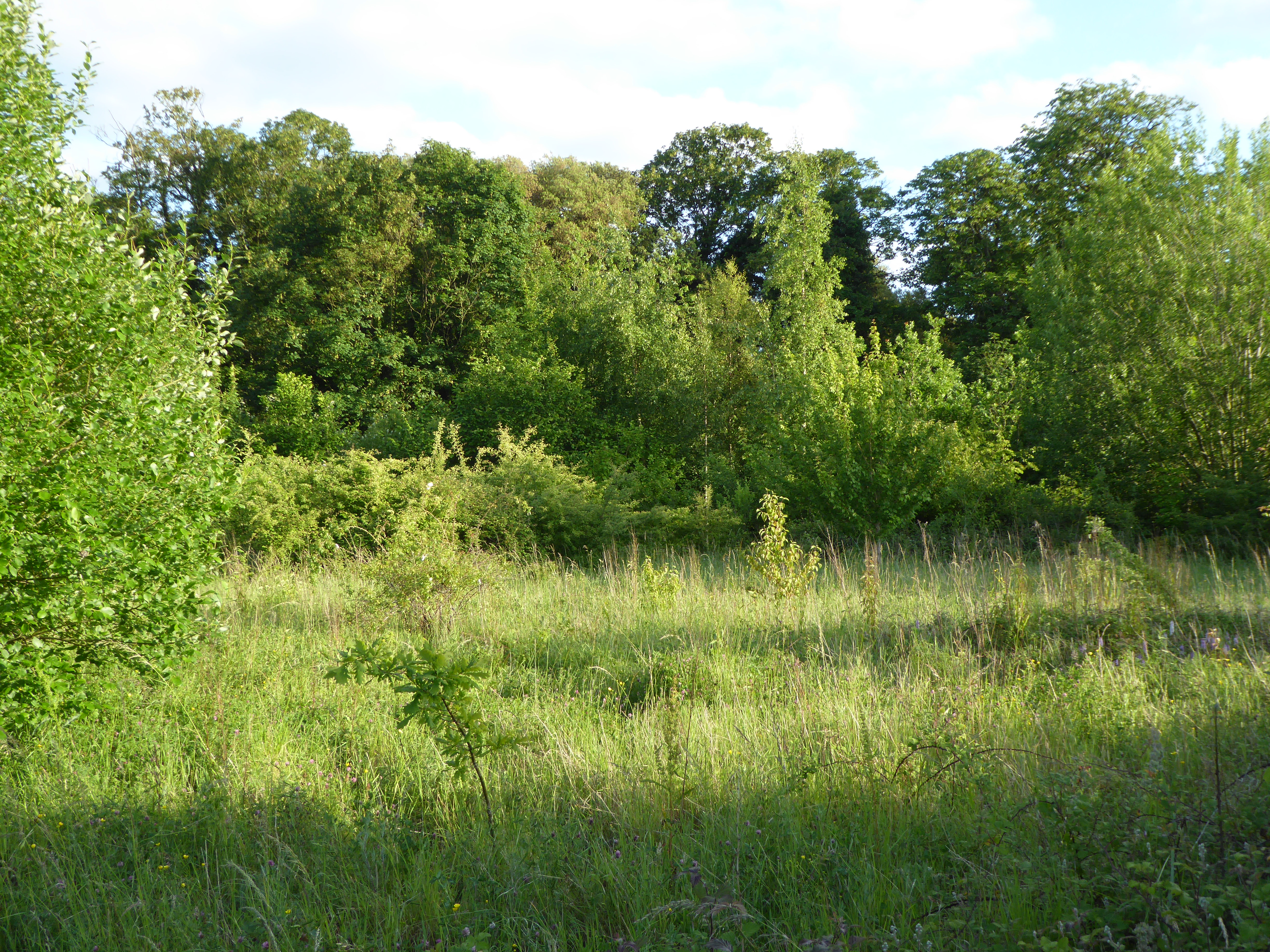
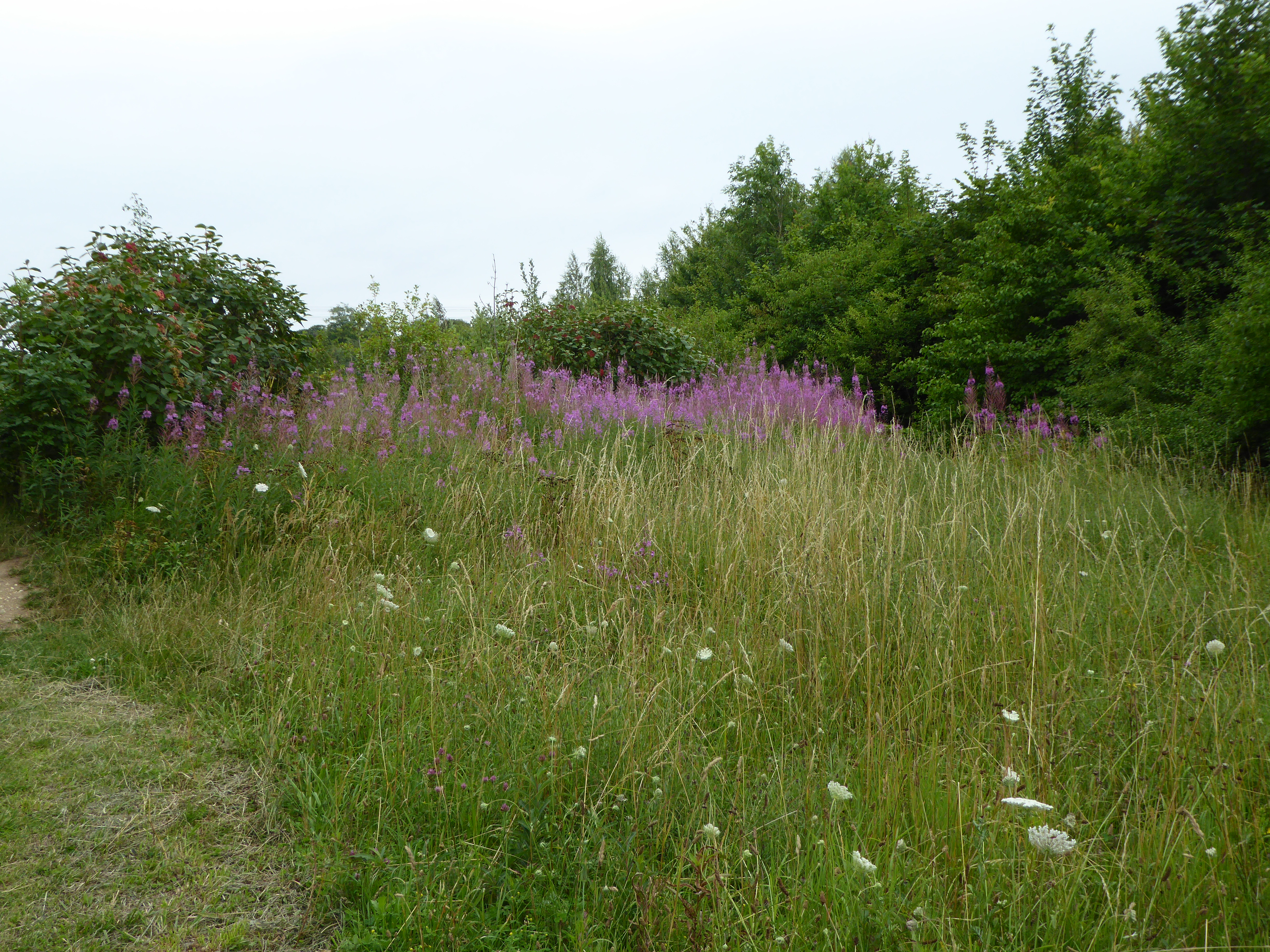
Carr Plantation, located in Suffolk, England, is a captivating woodland area known for its pristine beauty and diverse flora and fauna. Covering an expansive area, the plantation encompasses a range of habitats, including ancient woodland, wetlands, and open meadows, offering visitors a unique opportunity to immerse themselves in nature.
The woodland portion of Carr Plantation is characterized by a dense canopy of trees, predominantly consisting of oak, ash, and beech. The towering trees create a cool and shaded environment, perfect for leisurely walks on sunny days or picnics amidst the tranquil surroundings. The forest floor is adorned with a rich carpet of wildflowers and ferns, adding vibrant bursts of color to the landscape.
A notable feature of Carr Plantation is its wetland area, which is home to a variety of aquatic plants and animals. The wetlands are fed by a network of streams and small ponds, creating a thriving ecosystem for water birds, amphibians, and insects. Birdwatchers will be delighted by the presence of species such as herons, kingfishers, and mallards, while nature enthusiasts can spot frogs, dragonflies, and water lilies.
Visitors to Carr Plantation can take advantage of the well-maintained footpaths that meander through the woodland, allowing for easy exploration of the area. These trails offer breathtaking views of the surrounding countryside and provide opportunities to observe the local wildlife up close. The plantation also offers designated picnic areas, providing a tranquil setting for families and friends to enjoy a meal in the heart of nature.
Overall, Carr Plantation in Suffolk is a haven for nature lovers and a testament to the diverse and captivating landscapes that England has to offer.
If you have any feedback on the listing, please let us know in the comments section below.
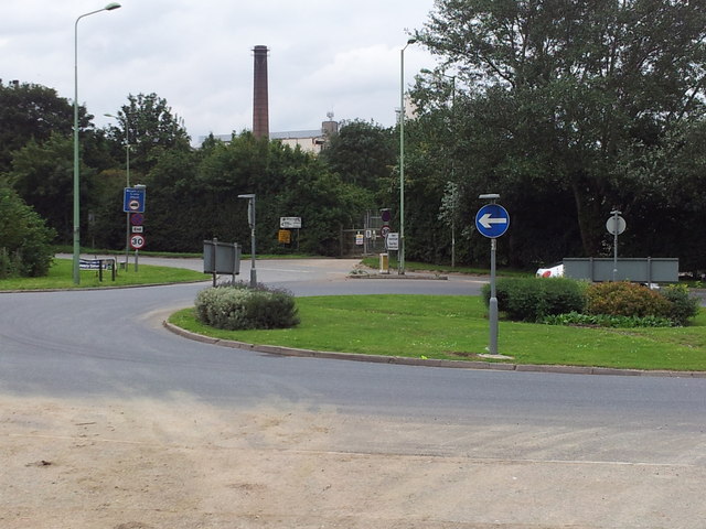
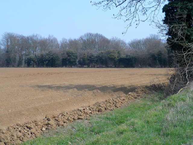
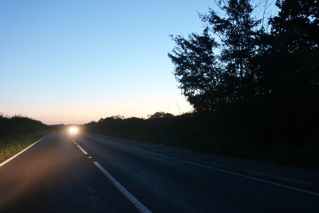
Carr Plantation Images
Images are sourced within 2km of 52.271232/0.74376518 or Grid Reference TL8767. Thanks to Geograph Open Source API. All images are credited.


Carr Plantation is located at Grid Ref: TL8767 (Lat: 52.271232, Lng: 0.74376518)
Administrative County: Suffolk
District: West Suffolk
Police Authority: Suffolk
What 3 Words
///billiard.admiral.packages. Near Great Barton, Suffolk
Nearby Locations
Related Wikis

Conyer's Green
Conyer's Green is a village in the civil parish of Great Barton, in the West Suffolk district, in the county of Suffolk, England.

Great Barton
Great Barton is a large village and civil parish in the West Suffolk district of Suffolk, England, about 3 miles (5 km) East of Bury St Edmunds on the...
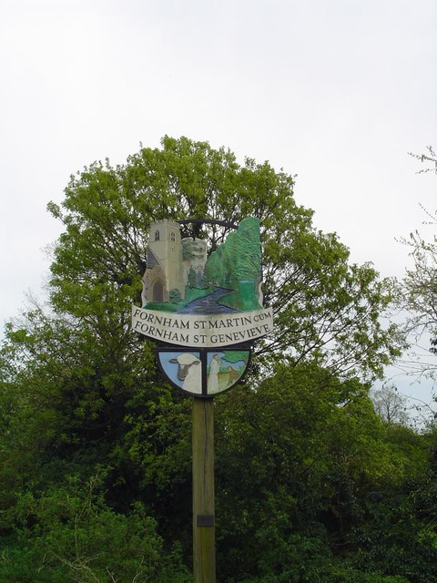
Fornham St Martin
Fornham St Martin is a village and civil parish in the West Suffolk district of Suffolk in eastern England. Located on the northern outskirts of Bury St...

Timworth
Timworth is a village and civil parish 65 mi (105 km) north east of London and 26 mi (42 km) east of Cambridge in the West Suffolk district of Suffolk...

Fornham St Genevieve
Fornham St Genevieve is a village and civil parish in the West Suffolk district of Suffolk in eastern England. It is one of a trio of contiguous villages...
Moreton Hall Community Woods
Moreton Hall Community Woods is an 18.5 hectare local nature reserve in Bury St Edmunds in Suffolk. it is owned by West Suffolk Council and managed by...
The Glen Chalk Caves, Bury St Edmunds
The Glen Chalk Caves, Bury St Edmunds is a 1.6-hectare (4.0-acre) biological Site of Special Scientific Interest in Bury St Edmunds in Suffolk.Tunnels...

Moreton Hall, Bury St Edmunds
Moreton Hall is a Grade II* listed building in Bury St Edmunds, a market town in the county of Suffolk, England. It was designed by the Scottish architect...
Nearby Amenities
Located within 500m of 52.271232,0.74376518Have you been to Carr Plantation?
Leave your review of Carr Plantation below (or comments, questions and feedback).