Haredrift Plantation
Wood, Forest in Suffolk Babergh
England
Haredrift Plantation

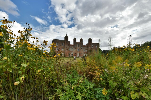
Haredrift Plantation is a picturesque woodland located in Suffolk, England. Spanning over a vast area, the plantation is known for its dense forest cover and rich biodiversity. The plantation gets its name from the abundance of hares that can be found darting through the undergrowth.
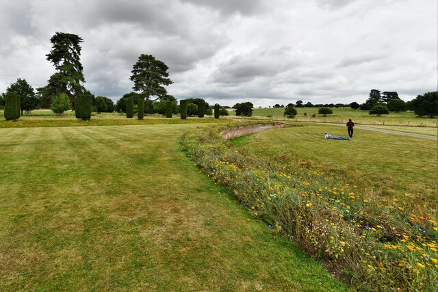
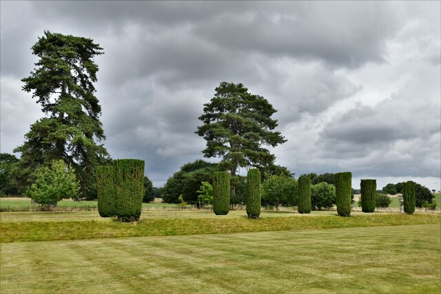
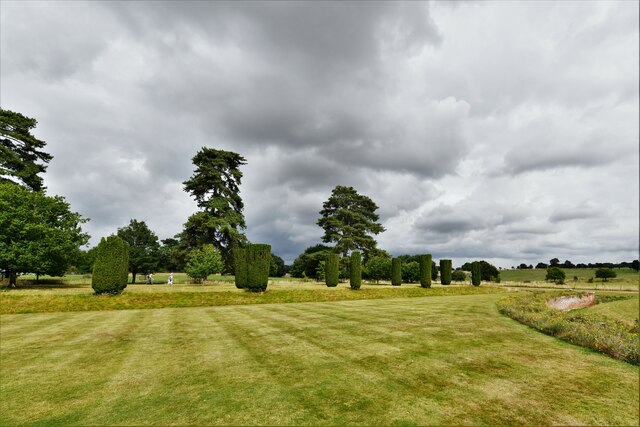
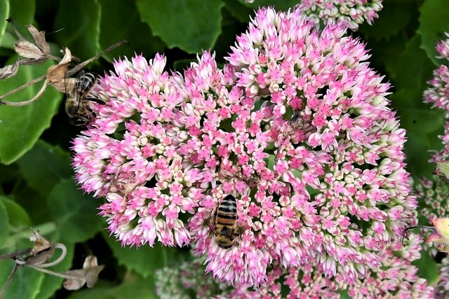
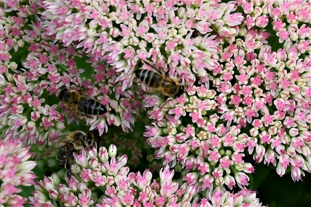
The woodland is characterized by its stunning natural beauty, with towering trees providing a lush canopy overhead. The variety of tree species found in Haredrift Plantation includes oak, beech, and pine, creating a diverse ecosystem that supports a wide range of flora and fauna. The forest floor is carpeted with ferns, bluebells, and other wildflowers, adding to the enchanting atmosphere of the woodland.
Haredrift Plantation offers numerous recreational opportunities for visitors. There are well-maintained walking trails that meander through the woods, allowing visitors to explore the plantation's natural wonders at their own pace. Birdwatchers flock to the plantation to catch a glimpse of the many species of birds that call it home, including woodpeckers, owls, and various songbirds.
For those interested in wildlife, Haredrift Plantation is home to a diverse array of animals. Deer, squirrels, and rabbits can often be spotted among the trees, while foxes and badgers are known to roam the woodland during the quieter hours. This makes the plantation a haven for nature enthusiasts and photographers seeking to capture the beauty of the local wildlife.
Overall, Haredrift Plantation in Suffolk is a tranquil and captivating woodland that offers a peaceful escape from the hustle and bustle of everyday life. Its natural beauty, diverse wildlife, and recreational opportunities make it a popular destination for nature lovers and outdoor enthusiasts alike.
If you have any feedback on the listing, please let us know in the comments section below.
Haredrift Plantation Images
Images are sourced within 2km of 52.08784/0.7309192 or Grid Reference TL8746. Thanks to Geograph Open Source API. All images are credited.


Haredrift Plantation is located at Grid Ref: TL8746 (Lat: 52.08784, Lng: 0.7309192)
Administrative County: Suffolk
District: Babergh
Police Authority: Suffolk
What 3 Words
///premature.comb.debater. Near Long Melford, Suffolk
Nearby Locations
Related Wikis

Holy Trinity Church, Long Melford
The Church of the Holy Trinity is a Grade I listed parish church of the Church of England in Long Melford, Suffolk, England. It is one of 310 medieval...

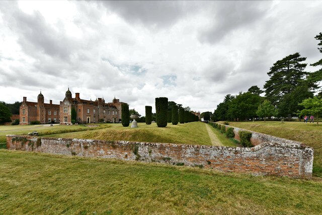
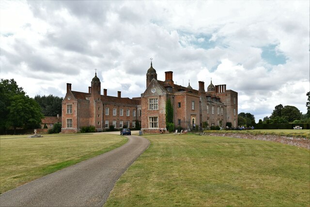
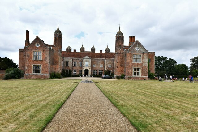
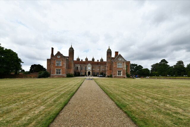
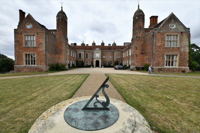
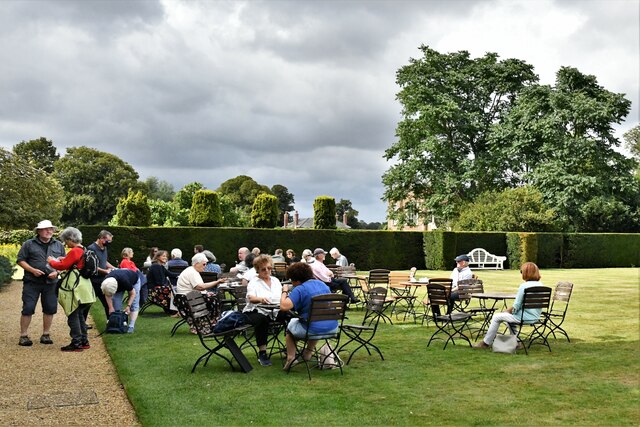
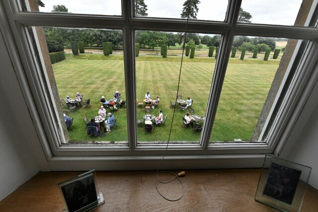
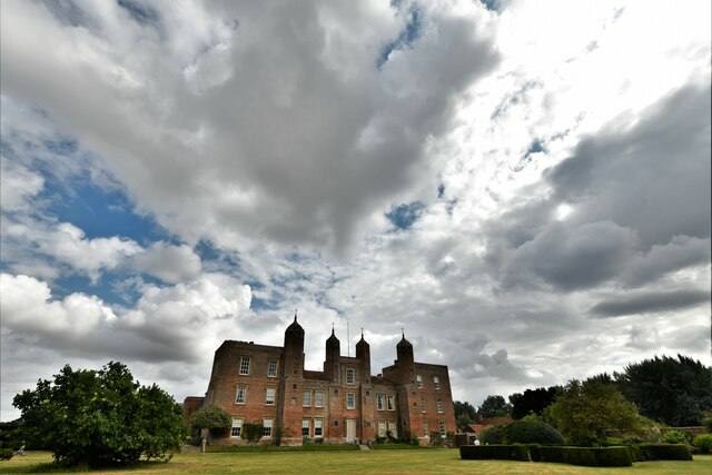
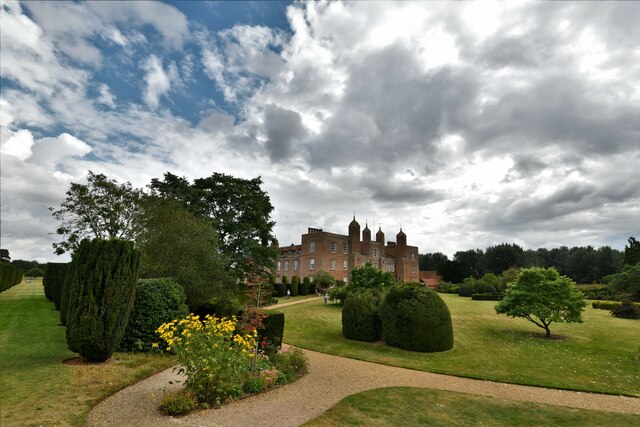
Melford Hall
Melford Hall is a stately home in the village of Long Melford, Suffolk, England. Since 1786 it has been the seat of the Parker Baronets and is still lived...

Long Melford
Long Melford, colloquially and historically also referred to as Melford, is a large village and civil parish in the Babergh district, in the county of...

Long Melford F.C.
Long Melford Football Club is a football club based in Long Melford, Suffolk, England. Affiliated to the Suffolk County FA, they are currently members...

Lineage Wood & Railway Track, Long Melford
Lineage Wood & Railway Track, Long Melford is a 78.7-hectare (194-acre) biological Site of Special Scientific Interest north-east of Long Melford in Suffolk...

Liston, Essex
Liston is a small village and civil parish in North Essex, England, located one mile WSW of Long Melford, on the banks of the River Stour. Its parish church...
Long Melford railway station
Long Melford railway station is a disused station that served the village of Long Melford in Suffolk, England. It opened in 1865 as "Melford" and was renamed...

Acton, Suffolk
Acton is a village and civil parish in the English county of Suffolk. The parish also includes the hamlets of Cuckoo Tye and Newman's Green. == Etymology... ==
Nearby Amenities
Located within 500m of 52.08784,0.7309192Have you been to Haredrift Plantation?
Leave your review of Haredrift Plantation below (or comments, questions and feedback).