Back Wood
Wood, Forest in Kent Maidstone
England
Back Wood

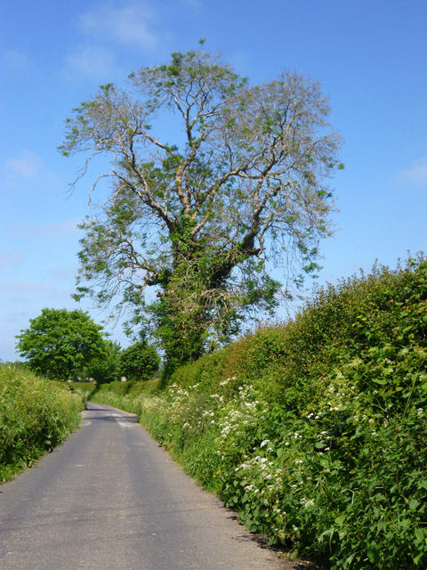
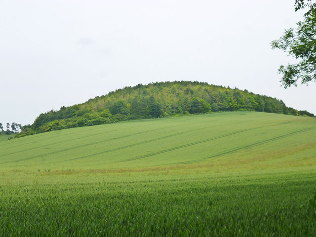
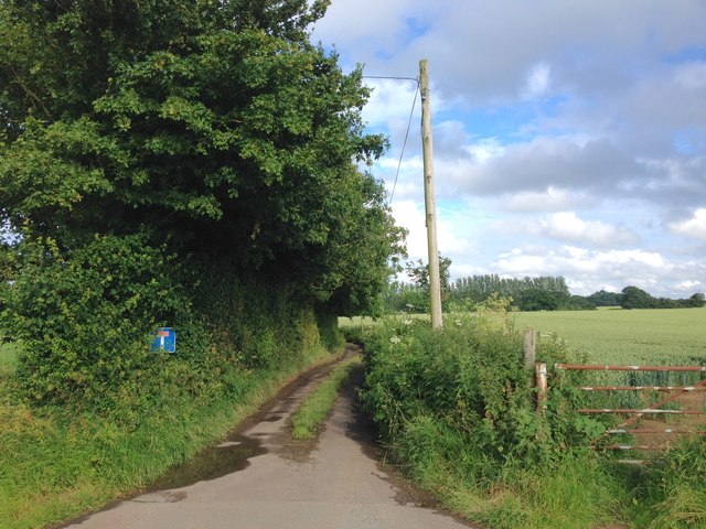
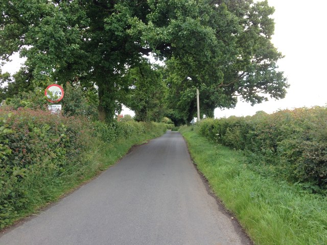
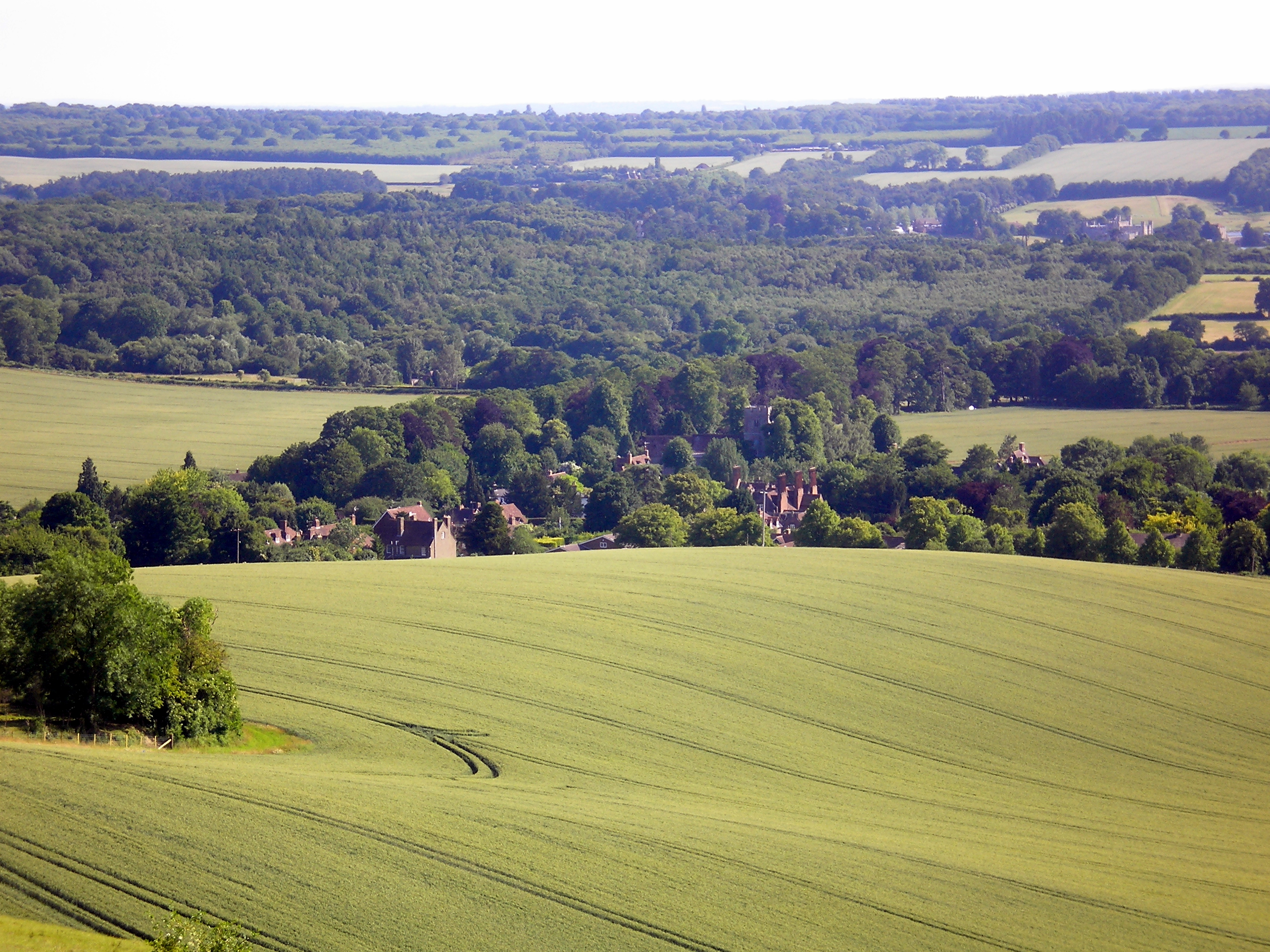
Back Wood, also known as Kent Wood or simply Forest, is a picturesque woodland located in the county of Kent, England. Stretching over an area of approximately 500 acres, it is a haven for nature enthusiasts and outdoor explorers. The wood is situated in close proximity to the town of Kentville, making it easily accessible for both locals and tourists alike.
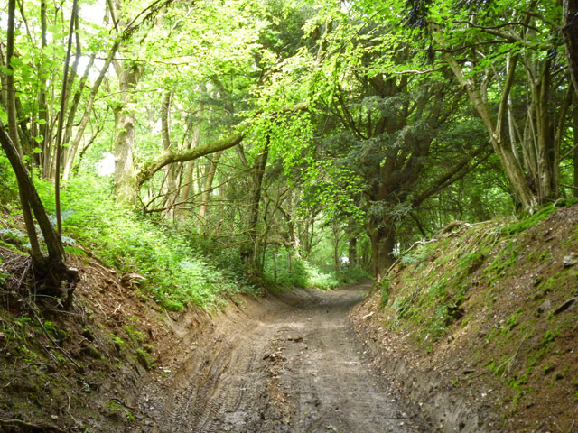
Back Wood is renowned for its diverse ecosystem, boasting a rich variety of plant and animal species. The woodland is predominantly composed of deciduous trees such as oak, beech, and birch, which create a vibrant and ever-changing landscape throughout the seasons. The forest floor is carpeted with a tapestry of wildflowers, ferns, and mosses, adding to the enchanting atmosphere.
Tranquility and serenity prevail in Back Wood, making it an ideal retreat for those seeking solace in nature. Numerous walking trails wind their way through the forest, offering visitors the opportunity to immerse themselves in its beauty. The trails cater to all levels of fitness, from leisurely strolls to more challenging hikes, ensuring there is something for everyone to enjoy.
Wildlife enthusiasts will be delighted to spot an array of creatures that call Back Wood their home. Squirrels, rabbits, and foxes are common sightings, while birdwatchers can look forward to spotting species such as woodpeckers, owls, and goldfinches. The wood also provides a habitat for various insects, including butterflies and dragonflies.
In conclusion, Back Wood is a captivating woodland in Kent, offering visitors a chance to escape the hustle and bustle of everyday life and immerse themselves in the beauty of nature. With its diverse flora and fauna, well-maintained trails, and peaceful ambiance, it is a must-visit destination for nature lovers and outdoor enthusiasts.
If you have any feedback on the listing, please let us know in the comments section below.
Back Wood Images
Images are sourced within 2km of 51.263565/0.67791594 or Grid Reference TQ8655. Thanks to Geograph Open Source API. All images are credited.


Back Wood is located at Grid Ref: TQ8655 (Lat: 51.263565, Lng: 0.67791594)
Administrative County: Kent
District: Maidstone
Police Authority: Kent
What 3 Words
///snipe.squeaking.cocktail. Near Harrietsham, Kent
Nearby Locations
Related Wikis
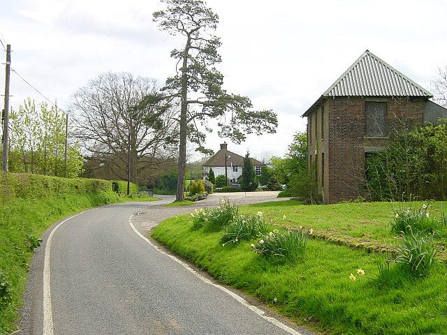
Ringlestone
Ringlestone is a hamlet between Wormshill and Harrietsham in the Maidstone district of Kent, England. It is in the civil parish of Wormshill. Ringlestone...
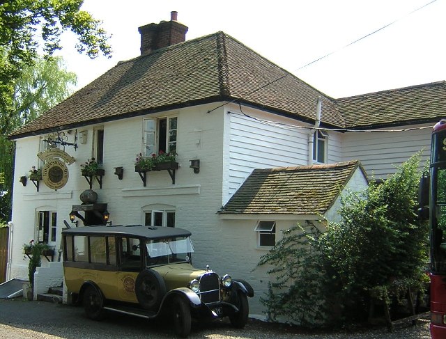
Ringlestone Inn
The Ringlestone Inn is an historic public house and restaurant, located in the Ringlestone hamlet near the village of Wormshill in Kent, England. Dating...

St John the Baptist's Church, Harrietsham
St John the Baptist's Church is a parish church in Marley Road, Harrietsham, Kent dedicated to John the Baptist. It was begun in the late 11th century...
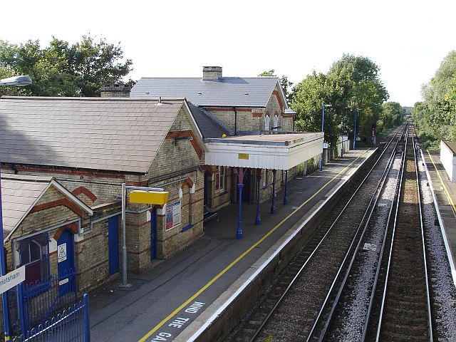
Harrietsham railway station
Harrietsham railway station serves Harrietsham in Kent, England. It is 47 miles 36 chains (76.4 km) down the line from London Victoria. The station, and...

Hollingbourne Downs
Hollingbourne Downs is a 60.9-hectare (150-acre) biological Site of Special Scientific Interest east of Maidstone in Kent.This escarpment has unimproved...

Marley, Maidstone
Marley is a hamlet in the civil parish of Harrietsham that, in turn, forms part of the district of Maidstone in the English county of Kent. == External... ==
Harrietsham
Harrietsham is a rural and industrial village and civil parish in the Maidstone District of Kent, England noted in the Domesday Book. According to the...
Hollingbourne
Hollingbourne is a village and civil parish in the borough of Maidstone in Kent, England. The parish is located on the southward slope of the North Downs...
Have you been to Back Wood?
Leave your review of Back Wood below (or comments, questions and feedback).