Fluchter
Settlement in Stirlingshire
Scotland
Fluchter
Fluchter is a small village located in the region of Stirlingshire, Scotland. Nestled within the picturesque landscape of the Central Lowlands, it is situated approximately 8 miles south of the city of Stirling. Fluchter is part of the Falkirk council area and falls within the Falkirk East constituency.
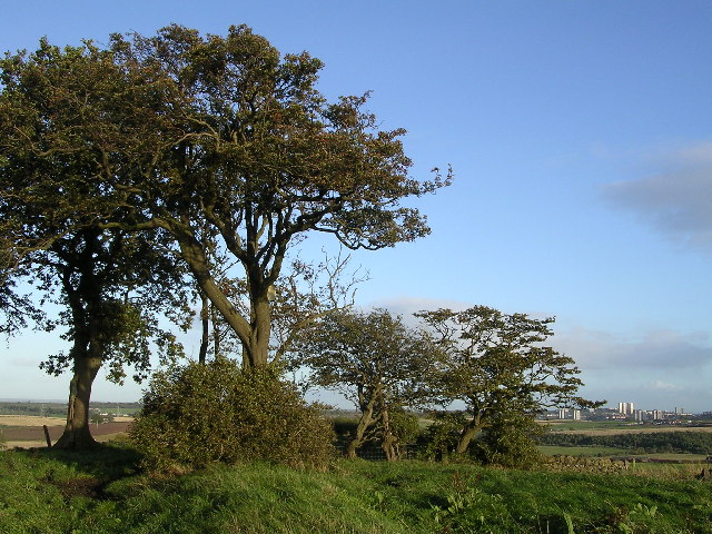
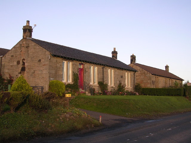
The village is known for its tranquil and rural setting, surrounded by rolling hills and verdant fields. It offers a peaceful escape from the hustle and bustle of nearby urban areas. Fluchter's population is relatively small, with a close-knit community that takes pride in maintaining the village's unique charm.
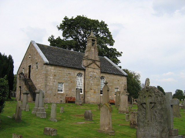
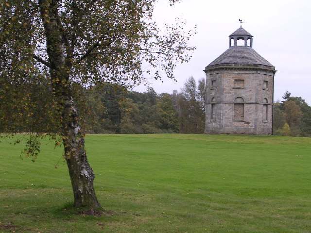
Despite its size, Fluchter boasts a rich history that can be traced back centuries. The area is home to a number of historic landmarks, including the Fluchter Tower, a well-preserved 16th-century tower house. This iconic structure stands as a testament to the village's past and attracts visitors interested in exploring its architectural heritage.
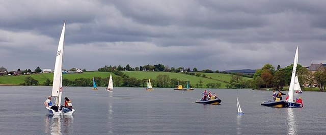
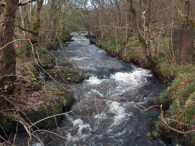
Fluchter is also known for its proximity to various outdoor recreational opportunities. The surrounding countryside offers ample opportunities for hiking, cycling, and nature walks, with several scenic trails to explore. The nearby River Forth provides opportunities for fishing and boating enthusiasts.
Facilities within Fluchter are limited, with no major shops or amenities located directly in the village. However, the nearby towns of Stirling and Falkirk provide easy access to a wide range of services, including shopping centers, schools, healthcare facilities, and entertainment options.
In summary, Fluchter is a small yet historically significant village in Stirlingshire, Scotland. With its idyllic setting and rich heritage, it offers a peaceful retreat for those seeking a taste of rural Scottish life.
If you have any feedback on the listing, please let us know in the comments section below.
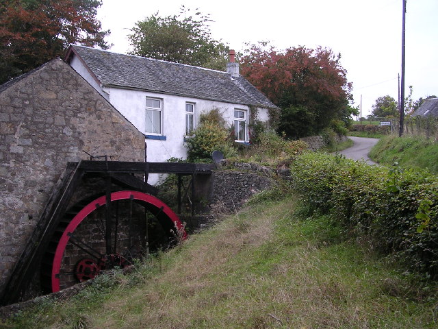
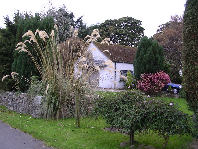
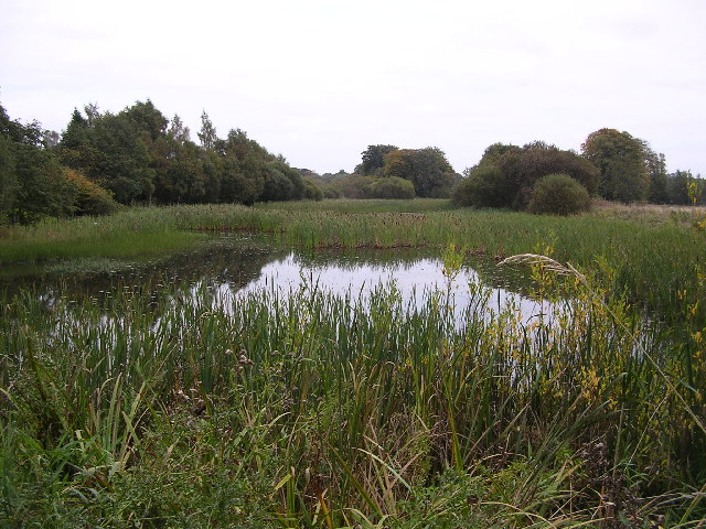
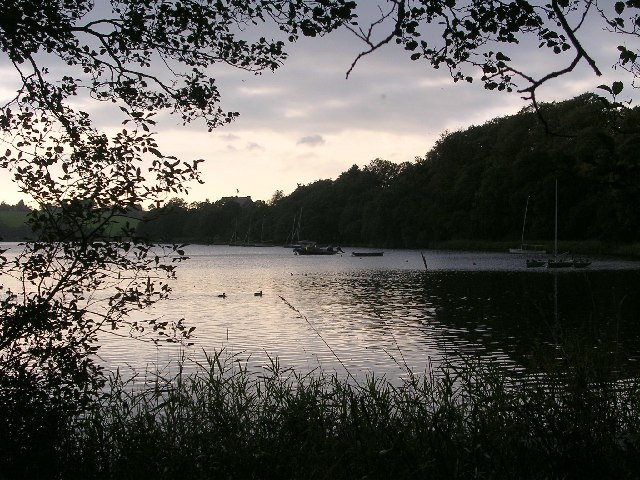
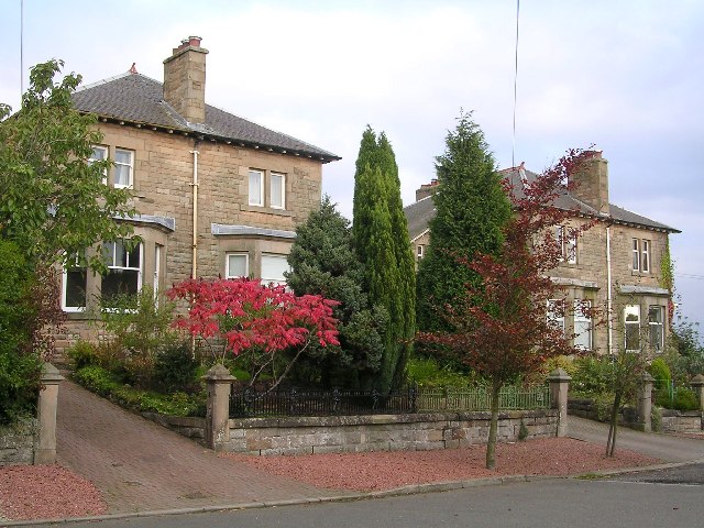
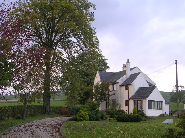
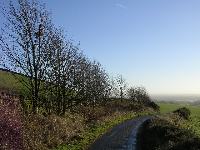
Fluchter Images
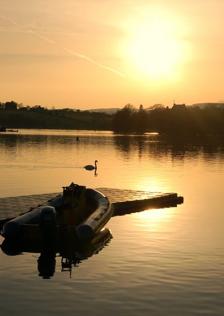
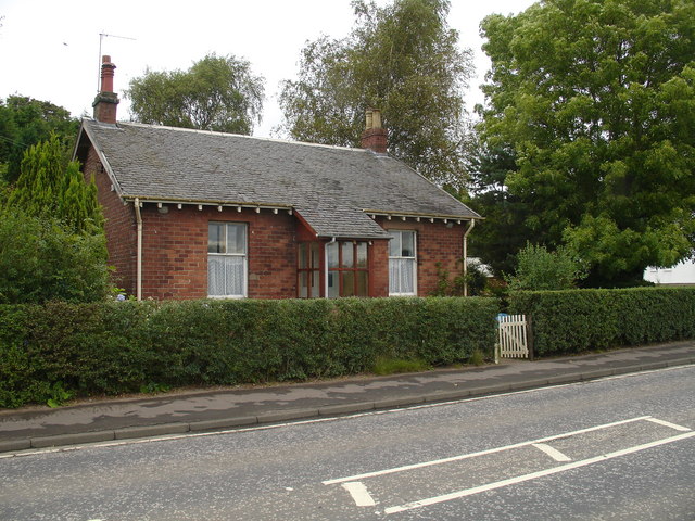
Images are sourced within 2km of 55.938014/-4.2749093 or Grid Reference NS5874. Thanks to Geograph Open Source API. All images are credited.


Fluchter is located at Grid Ref: NS5874 (Lat: 55.938014, Lng: -4.2749093)
Unitary Authority: East Dunbartonshire
Police Authority: Greater Glasgow
What 3 Words
///calms.couple.inspector. Near Milngavie, East Dunbartonshire
Nearby Locations
Related Wikis

Barnellan
Barnellan is a small hamlet in East Dunbartonshire, Scotland, situated in the civil parish of Baldernock. It consists of a few houses and a farm, the latter...

Bardowie Castle
Bardowie Castle is located 2 kilometres (1.2 mi) east of Milngavie, in East Dunbartonshire, Scotland. The A-Listed building overlooks Bardowie Loch. The...

Bardowie
Bardowie is a hamlet in East Dunbartonshire located within the civil parish of Baldernock. It is two miles (three kilometres) from Milngavie and four miles...

Baldernock
Baldernock (; Gaelic: Baile D' Earnaig) meaning 'settlement of St Earnaig' (Iain Mac an Táilleir, Sabhall Mór Ostaig) is a small parish in East Dunbartonshire...

Bardowie railway station
Bardowie railway station was opened in 1905 on the Kelvin Valley Railway, later than most of the other stations which had opened with the line itself in...
Allander Water
The Allander Water (Scottish Gaelic: Uisge Alandair) is a river in East Dunbartonshire and Stirling, Scotland, and one of the three main tributaries of...
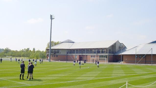
Rangers Training Centre
The Rangers Training Centre is the training ground of Rangers located in Milngavie, East Dunbartonshire, Scotland. It was opened in 2001 and originally...

Milngavie water treatment works
Milngavie water treatment works (commonly known as The Waterworks) is a Scottish Water-operated water treatment facility located in Milngavie, Scotland...
Nearby Amenities
Located within 500m of 55.938014,-4.2749093Have you been to Fluchter?
Leave your review of Fluchter below (or comments, questions and feedback).