Great Bellhurst Wood
Wood, Forest in Sussex Rother
England
Great Bellhurst Wood
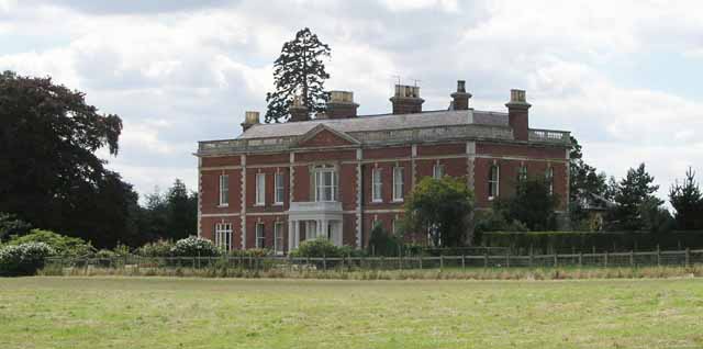
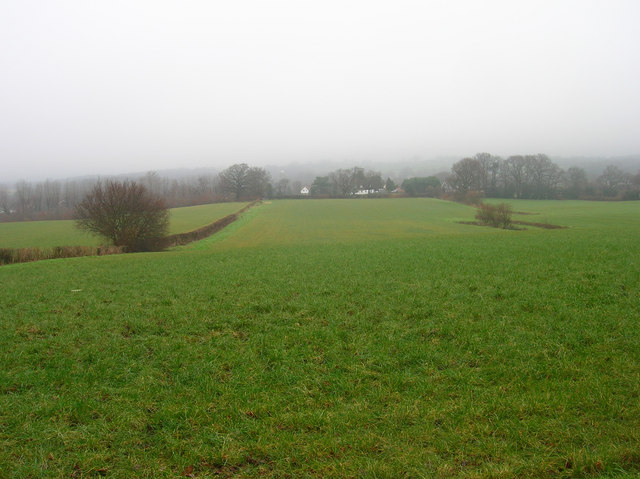
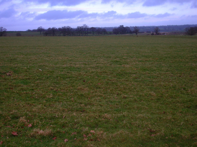
Great Bellhurst Wood is a picturesque forest located in the county of Sussex, England. It covers an area of approximately 50 acres and is known for its diverse flora and fauna, making it a popular destination for nature enthusiasts and hikers alike.
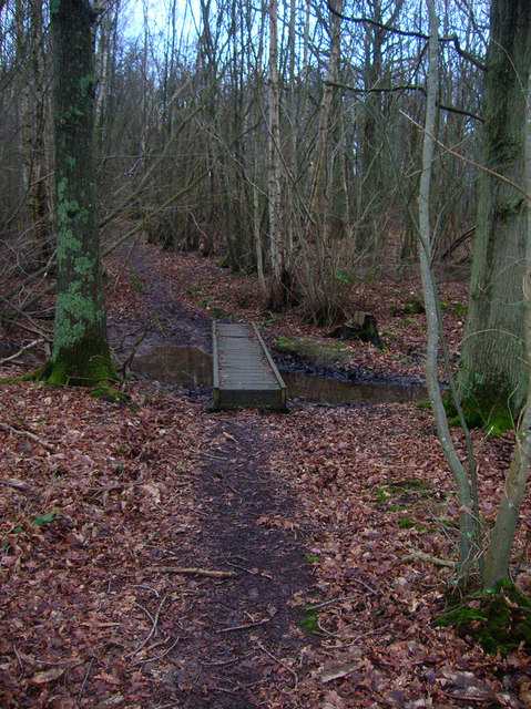
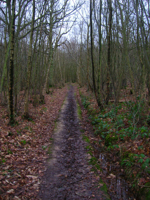
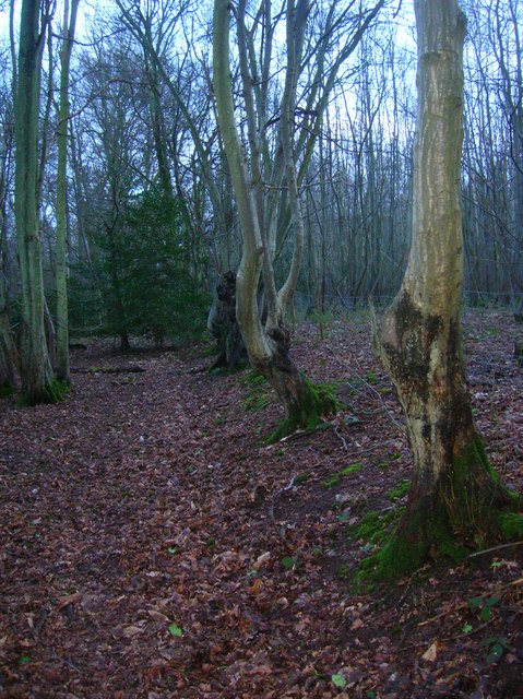
The woodland is predominantly composed of broadleaf trees such as oak, beech, and ash, which create a dense canopy that provides shade and shelter to a variety of wildlife. Bluebells and wild garlic carpet the forest floor during the spring months, adding a burst of color to the landscape.
Tranquility is a defining feature of Great Bellhurst Wood, as it is tucked away from major roads and urban areas. The absence of human interference has allowed the woodland to develop into a haven for a range of bird species, including woodpeckers, nightingales, and tawny owls. Foxes, deer, and badgers are also known to inhabit the area, providing visitors with the opportunity to spot these elusive creatures in their natural habitat.
Several well-maintained walking trails wind their way through Great Bellhurst Wood, allowing visitors to explore its beauty at their own pace. These paths offer breathtaking views of the surrounding countryside and are suitable for all levels of fitness. The peaceful ambiance and natural beauty of the woodland make it an ideal place for relaxation, picnicking, and photography.
Great Bellhurst Wood is a testament to the beauty and tranquility of the Sussex countryside, providing visitors with a welcome escape from the hustle and bustle of everyday life.
If you have any feedback on the listing, please let us know in the comments section below.
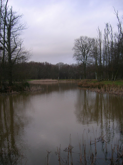
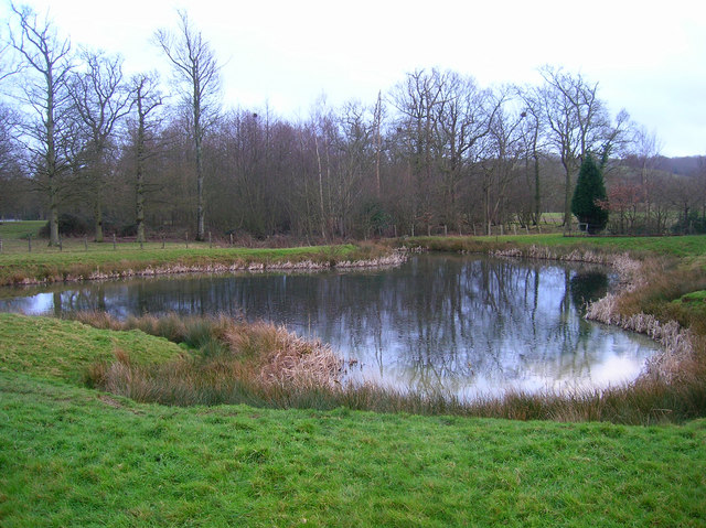
Great Bellhurst Wood Images
Images are sourced within 2km of 50.995819/0.6618112 or Grid Reference TQ8625. Thanks to Geograph Open Source API. All images are credited.


Great Bellhurst Wood is located at Grid Ref: TQ8625 (Lat: 50.995819, Lng: 0.6618112)
Administrative County: East Sussex
District: Rother
Police Authority: Sussex
What 3 Words
///storms.yards.growth. Near Northiam, East Sussex
Nearby Locations
Related Wikis

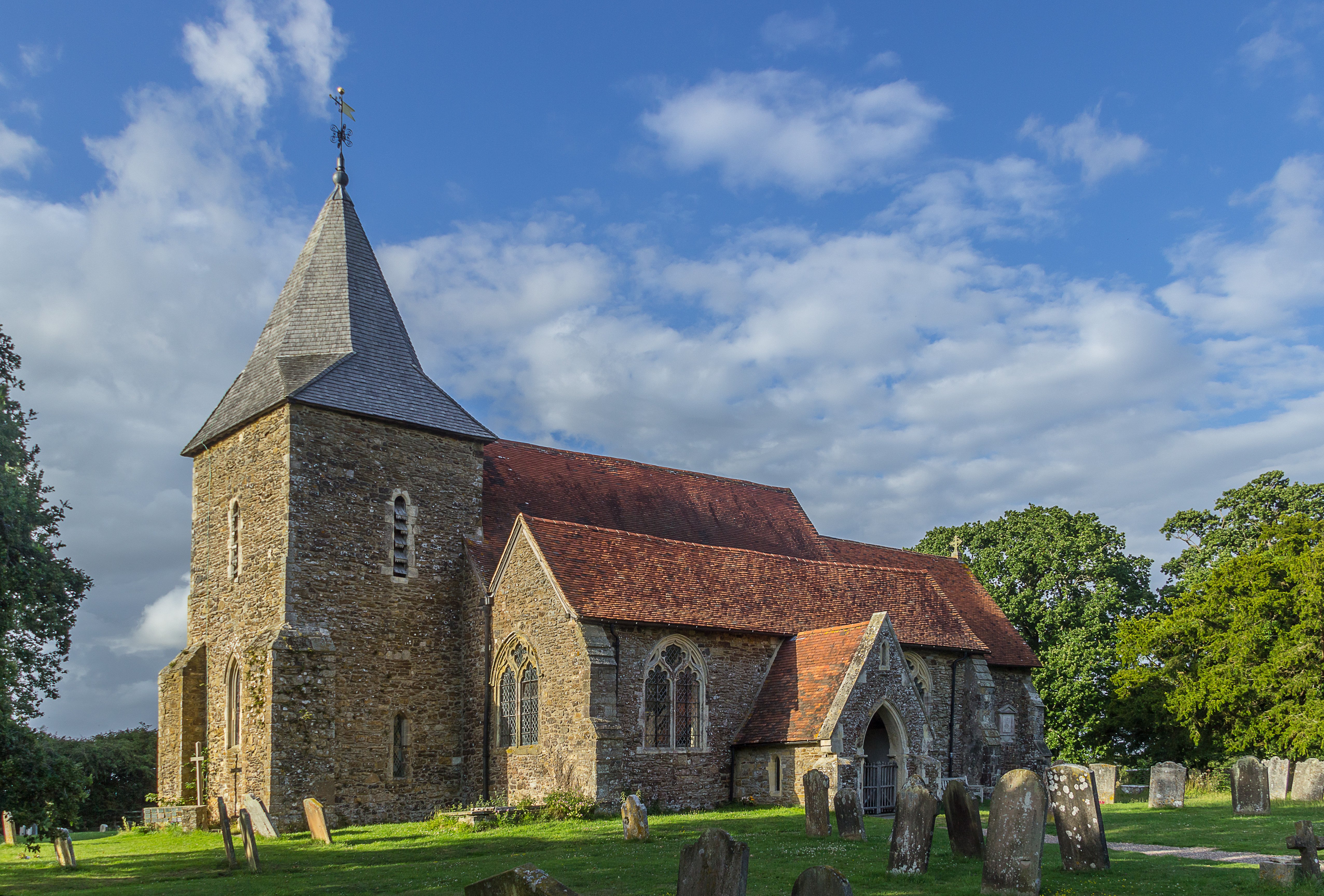
Beckley, East Sussex
Beckley is a village and civil parish in the Rother district of East Sussex, England. It is located on the B2088 minor road above the Rother Levels five...

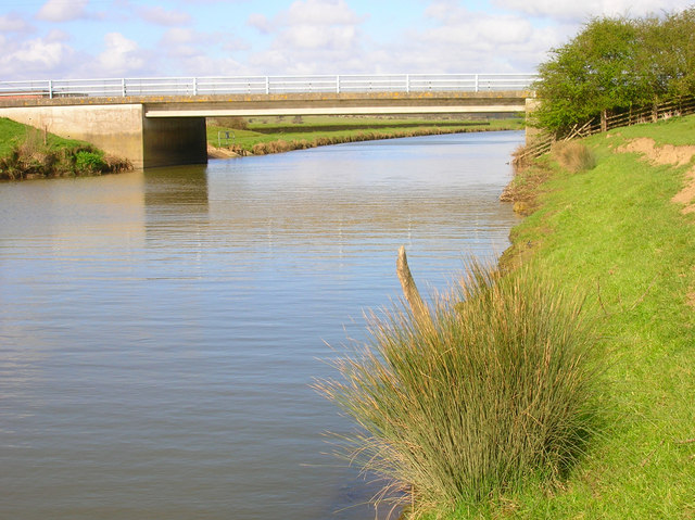
Flatropers Wood
Flatropers Wood is a 38-hectare (94-acre) nature reserve in Rye in East Sussex. It is managed by the Sussex Wildlife Trust.The wood is mainly oak and...
Peasmarsh
Peasmarsh is a village and civil parish in the Rother district, in the county of East Sussex in England. It is located on the A268 road between Rye and...
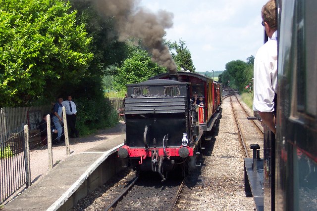
Wittersham Road railway station
Wittersham Road is a railway station on the Kent and East Sussex Railway. It is located to the north-east of the level crossing on Maytham Road which links...
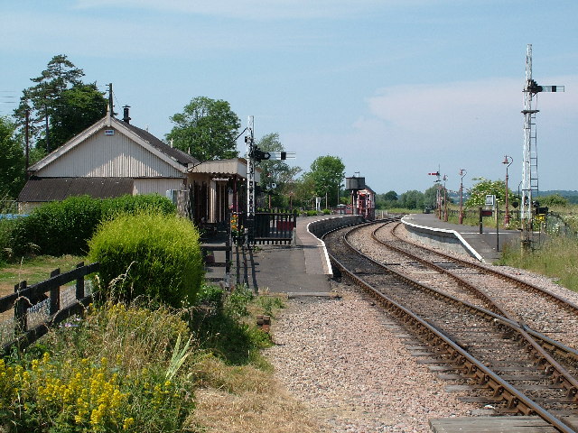
Northiam railway station
Northiam railway station is on the Kent and East Sussex Railway. It is located to the west of the level crossing on the A28 road linking the Kentish village...
Wittersham
Wittersham is a small village and civil parish in the borough of Ashford in Kent, England. It is part of the Isle of Oxney. == History == The Domesday...

Lossenham Friary
Lossenham Friary was a Carmelite friary in Newenden in the Weald of Kent, England. == History == Sir Thomas Alcher or Aucher founded the third Carmelite...
Newenden
Newenden is a small village and civil parish in area and population in the Ashford District of Kent, England. == Geography == The village is clustered...
Nearby Amenities
Located within 500m of 50.995819,0.6618112Have you been to Great Bellhurst Wood?
Leave your review of Great Bellhurst Wood below (or comments, questions and feedback).