Gravelpit Wood

Wood, Forest in Kent Swale

England

Gravelpit Wood

Unmapped steps These steps down from Wormdale Hill road towards Danaway are not shown on either the 1:25000 or 1:50000 Ordnance Survey (nor Google) maps. From their nature it is suspected that they were installed as part of the expansion of the A249.
Unmapped steps Credit: Tony Hunt

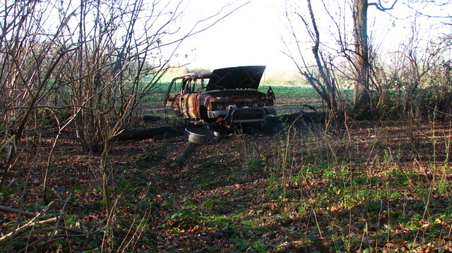
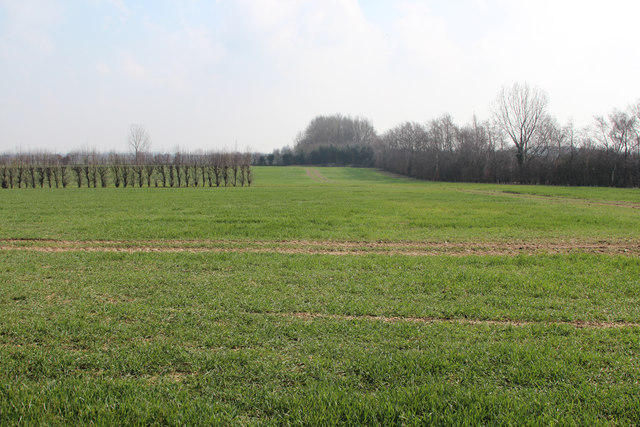
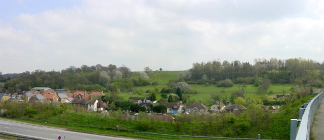
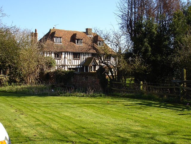
Gravelpit Wood is a picturesque woodland located in the county of Kent, England. Covering an area of approximately 50 acres, it forms part of an extensive forested area in the region. The wood is situated near the village of Gravelpit, which is known for its tranquil surroundings and natural beauty.

The woodland is characterized by its diverse range of trees, including oak, beech, and birch, which provide a dense canopy and create a serene atmosphere. These trees also offer a habitat for a variety of wildlife, such as squirrels, deer, and a wide array of bird species.

Gravelpit Wood is a popular destination for nature enthusiasts and hikers due to its well-maintained walking trails that wind through the forest. These paths allow visitors to explore the different sections of the wood, taking them through sun-dappled glades, alongside babbling brooks, and up gentle slopes. The wood also boasts a small pond, which is home to various aquatic plants and insects.

Visitors can also find several picnic spots dotted around the wood, providing an ideal location for families and friends to enjoy a leisurely outdoor meal. The peaceful ambiance of Gravelpit Wood makes it a perfect getaway for those seeking tranquility and a chance to reconnect with nature.

Overall, Gravelpit Wood in Kent offers a delightful retreat from the hustle and bustle of everyday life, providing a haven of natural beauty and serenity for visitors to enjoy.

If you have any feedback on the listing, please let us know in the comments section below.

Gravelpit Wood Images

Images are sourced within 2km of 51.340791/0.68090852 or Grid Reference TQ8663. Thanks to Geograph Open Source API. All images are credited.

Unmapped steps These steps down from Wormdale Hill road towards Danaway are not shown on either the 1:25000 or 1:50000 Ordnance Survey (nor Google) maps. From their nature it is suspected that they were installed as part of the expansion of the A249.
Unmapped steps
These steps down from Wormdale Hill road towards Danaway are not shown on either the 1:25000 or 1:50000 Ordnance Survey (nor Google) maps. From their nature it is suspected that they were installed as part of the expansion of the A249.
Footpath into Church Wood Effectively blocked against vehicle entry by a burned out wreck atop a log (which likely stopped its progress).
Footpath into Church Wood
Effectively blocked against vehicle entry by a burned out wreck atop a log (which likely stopped its progress).
Church Lane in Newington Looking southward to its junction with the A2
Church Lane in Newington
Looking southward to its junction with the A2
Track from Newington to Chestnut Street Looking south-eastward
Track from Newington to Chestnut Street
Looking south-eastward
Field View at Keycol Farm Triangulation Pillar Looking westward.
Field View at Keycol Farm Triangulation Pillar
Looking westward.
Woodgate Oast, Woodgate Lane, Oad Street Two round kiln oast house. Partially converted to accommodation in early 2000s. Has permission to convert to a ten bedroom hotel.
Woodgate Oast, Woodgate Lane, Oad Street
Two round kiln oast house. Partially converted to accommodation in early 2000s. Has permission to convert to a ten bedroom hotel.
The Oast, Hengist House, Borden Triple square kiln fake oast house. The building was built around 1990.
The Oast, Hengist House, Borden
Triple square kiln fake oast house. The building was built around 1990.
The Oast, Pond Farm Road, Borden Single square kiln oast house.
The Oast, Pond Farm Road, Borden
Single square kiln oast house.
The Oast, Pond Farm Road, Borden Single square kiln oast house.
The Oast, Pond Farm Road, Borden
Single square kiln oast house.
Field by Sutton Baron Road
Wises Oast, Wises Lane, Borden
Wises Oast, Wises Lane, Borden 20th century, internal kiln oast house, built 1950's. One cowl to roof. Converted to offices known as Wises Oast Business Centre.
Wises Oast, Wises Lane, Borden
20th century, internal kiln oast house, built 1950's. One cowl to roof. Converted to offices known as Wises Oast Business Centre.
Footpath gate near M2
Field beside M2 M2 is hidden on the right.
Field beside M2
M2 is hidden on the right.
Large barn at Vinson Farm
St Peter and St Paul Church, Borden The notable tower at Borden is Norman. The church was remodelled with aisles to the nave and chancel in the 13th century. The nave is short which reflects its Norman ancestry.
St Peter and St Paul Church, Borden
The notable tower at Borden is Norman. The church was remodelled with aisles to the nave and chancel in the 13th century. The nave is short which reflects its Norman ancestry.
Footpath near Borden Blossom brightens up this footpath just to the north of Borden.
Footpath near Borden
Blossom brightens up this footpath just to the north of Borden.
Show me another place!

Gravelpit Wood is located at Grid Ref: TQ8663 (Lat: 51.340791, Lng: 0.68090852)

Administrative County: Kent

District: Swale

Police Authority: Kent

What 3 Words

///exist.panther.distilled. Near Newington, Kent

Nearby Locations

Gravelpit Wood

Related Wikis

Chestnut Street, Kent

Chestnut Street is a settlement to the west of Sittingbourne in the Borough of Swale, Kent, England. It is located on the former A249 road alignment, between...

A249 road

The A249 is a road in Kent, England, running from Maidstone to Sheerness on the Isle of Sheppey. It mainly functions as a link between the M2 and M20 motorways...

Danaway

Danaway is a village near the A249 road and the M2 motorway, in the Swale district, in the English county of Kent. The nearest town is Sittingbourne. It...

Keycol

Keycol is a village near Sittingbourne in Kent, England. At the 2011 Census the population of the village was recorded in the civil parish of Bobbing....
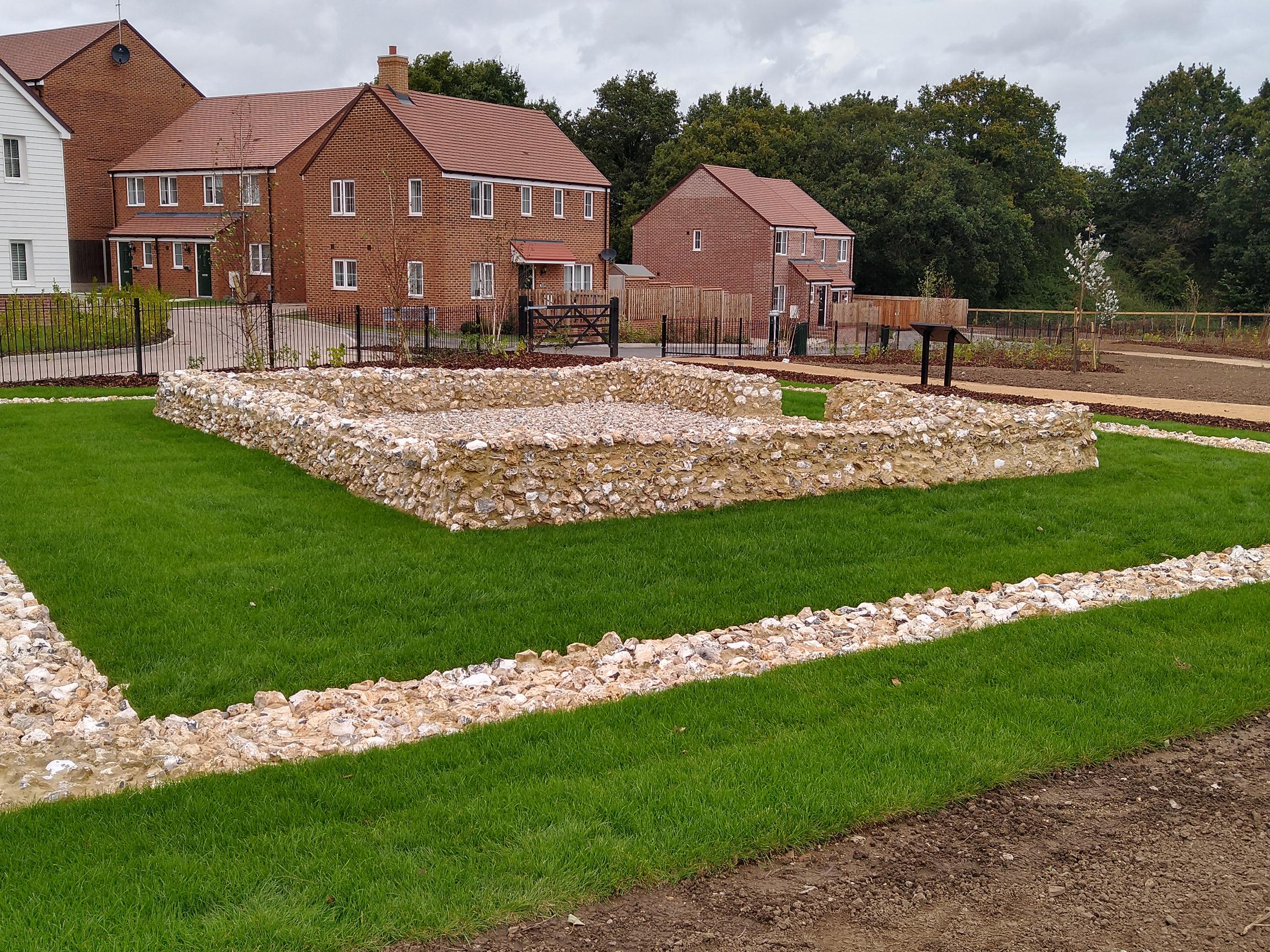
Watling Temple

Watling Temple is the name given to the temple within a Roman town next to the modern A2 road in Newington, near Sittingbourne in Kent, England.The town...

Oad Street

Oad Street is a small hamlet in the English county of Kent.Oad Street forms part of the civil parish of Borden which, in turn, is part of Swale district...

Newington, Swale

Newington is a village and civil parish in the borough of Swale in Kent, England. The parish is located beside the A2 road (originally a Roman road) between...

Newington railway station

Newington railway station is on the Chatham Main Line in England, serving the village of Newington, Kent. It is 41 miles 44 chains (66.9 km) down the line...

Nearby Amenities

Located within 500m of 51.340791,0.68090852
Chestnut Street
Place: hamlet
Source: npe
Wikidata: Q5093994
Lat/Long: 51.34053/0.6858349
Bus Stop
Chestnut Wood Lane
Flag: no
Naptan AtcoCode: 2400A010260A
Naptan Bearing: SW
Naptan BusStopType: CUS
Naptan CommonName: Chestnut Wood Lane
Naptan Indicator: adj
Naptan Landmark: Chestnut Wood Lane
Naptan NaptanCode: kntamgdm
Naptan Street: Chestnut Street
Naptan Verified: no
Public Transport: platform
Ref: kntamgdm
Source: naptan_import
Source Date: 2018-06-26
Lat/Long: 51.341536/0.6857339
Bus Stop
Chestnut Wood Lane
Naptan AtcoCode: 2400A010310A
Naptan Bearing: NE
Naptan CommonName: Chestnut Wood Lane
Naptan Indicator: opp
Naptan Landmark: Chestnut Wood Lane
Naptan NaptanCode: kntamgjd
Naptan Street: Chestnut Street
Naptan Verified: no
Public Transport: platform
Ref: kntamgjd
Source: naptan_import
Source Date: 2018-06-26
Lat/Long: 51.3416414/0.6854529
Parking
Access: yes
Fee: no
Parking: street_side
Lat/Long: 51.3401193/0.6758475
Rock Meadows
Building: yes
Lat/Long: 51.3383261/0.6761147
Cold Store Cottages
Building: yes
Lat/Long: 51.3396992/0.6781443
Power: pole
Lat/Long: 51.3443703/0.6790171
Power: pole
Lat/Long: 51.3445063/0.6782235
Barrier: yes
Lat/Long: 51.3409509/0.6860715
Waste Basket
Colour: red
Covered: yes
Source: survey
Survey Date: 2023-10-17
Lat/Long: 51.3400196/0.6759176
Waste Basket
Colour: red
Covered: yes
Source: survey
Survey Date: 2023-10-17
Lat/Long: 51.3401949/0.6762857
Power: pole
Lat/Long: 51.3444119/0.677314
Power: pole
Lat/Long: 51.3446772/0.6795327
The data included in this document is from www.openstreetmap.org. The data is made available under ODbL.

Have you been to Gravelpit Wood?

Leave your review of Gravelpit Wood below (or comments, questions and feedback).