Beauchamp Plantation
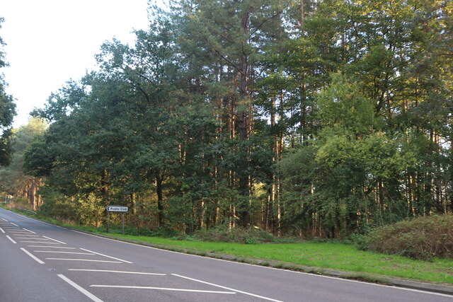
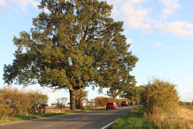
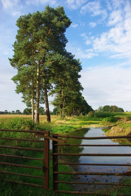
Wood, Forest in Norfolk Breckland
England
Beauchamp Plantation
Beauchamp Plantation is a historic site located in Norfolk, England. Nestled within a dense wood or forest area, the plantation holds significant historical and cultural value. The plantation dates back several centuries, with its origins tracing back to the medieval period.
The plantation features a variety of flora and fauna, making it an ideal spot for nature enthusiasts and historians alike. The forest surrounding the plantation is home to a diverse range of tree species, including oak, beech, and pine, which provide a picturesque backdrop. The lush greenery also attracts a wide array of wildlife, such as deer, rabbits, and various bird species.
The plantation itself consists of a grand manor house, surrounded by well-maintained gardens and sprawling grounds. The architecture of the manor house showcases a blend of different styles, reflecting the various periods of its construction and renovations over the years. The interior of the house is adorned with intricate woodwork, elegant furnishings, and artwork, giving visitors a glimpse into the opulence and grandeur of the past.
Beauchamp Plantation also played a significant role in local history. It served as a center for agricultural activities, with large fields and pastures surrounding the manor. The plantation was known for its successful farming ventures, particularly in the cultivation of crops like wheat and barley.
Today, Beauchamp Plantation stands as a testament to Norfolk's rich heritage and offers visitors an opportunity to explore its natural beauty and historical significance.
If you have any feedback on the listing, please let us know in the comments section below.
Beauchamp Plantation Images
Images are sourced within 2km of 52.45094/0.74543291 or Grid Reference TL8687. Thanks to Geograph Open Source API. All images are credited.


Beauchamp Plantation is located at Grid Ref: TL8687 (Lat: 52.45094, Lng: 0.74543291)
Administrative County: Norfolk
District: Breckland
Police Authority: Norfolk
What 3 Words
///reds.september.pinch. Near Thetford, Norfolk
Related Wikis

Croxton, Norfolk
Croxton is a village and civil parish in the English county of Norfolk, within the district of Breckland. Croxton is located 2.2 miles north of Thetford...

St Helen's Church, Santon
St Helen's Church was a church located near Santon, Norfolk, England. Its site is a scheduled monument. It was no longer in existence by 1368.The church...
The Thetford Academy, Norfolk
The Thetford Academy is a coeducational secondary school and sixth form with academy status located in Thetford, Norfolk, England. == History == Before...

Kilverstone
Kilverstone is a civil parish in the English county of Norfolk east of Thetford. It covers an area of 7.46 km2 (2.88 sq mi) and had a population of 60...
Have you been to Beauchamp Plantation?
Leave your review of Beauchamp Plantation below (or comments, questions and feedback).