Brook Green

Wood, Forest in Suffolk West Suffolk

England

Brook Green

Barley field off Brand's Lane
Barley field off Brand's Lane Credit: Jonathan Thacker

Brook Green, Suffolk, also known as Wood or Forest, is a picturesque village located in the county of Suffolk in eastern England. Situated amidst the stunning countryside, this rural settlement is known for its abundant greenery, tranquil atmosphere, and charming architecture.

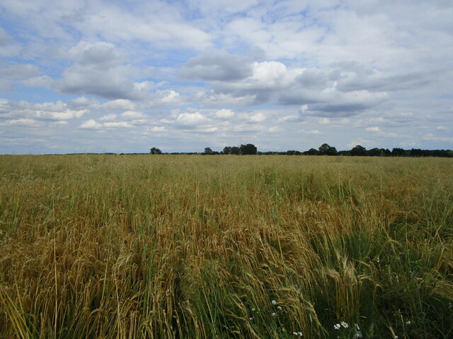
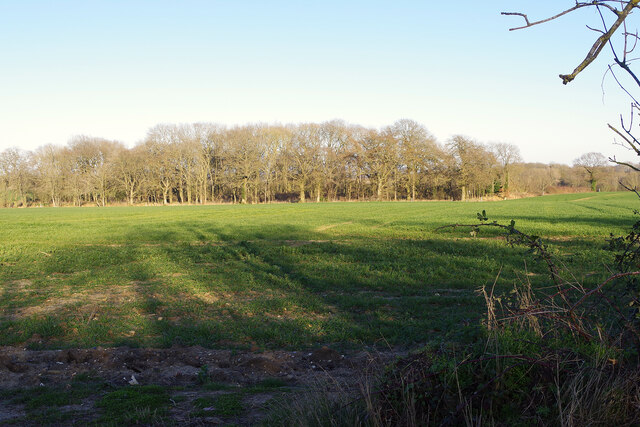
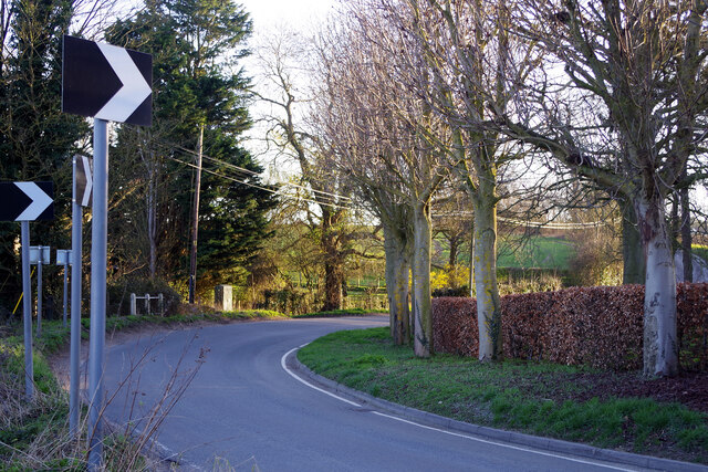
The village is surrounded by lush woodlands and rolling hills, making it a perfect destination for nature lovers and outdoor enthusiasts. The dense forest that envelops the area provides a haven for wildlife, and visitors can often spot various species of birds and small animals while exploring the enchanting trails.

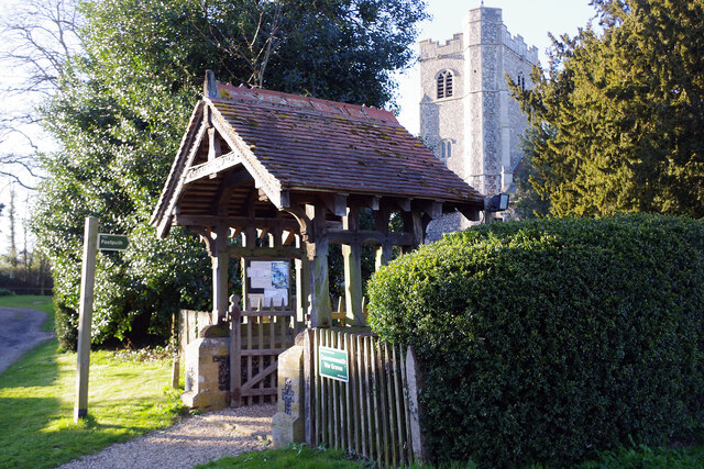
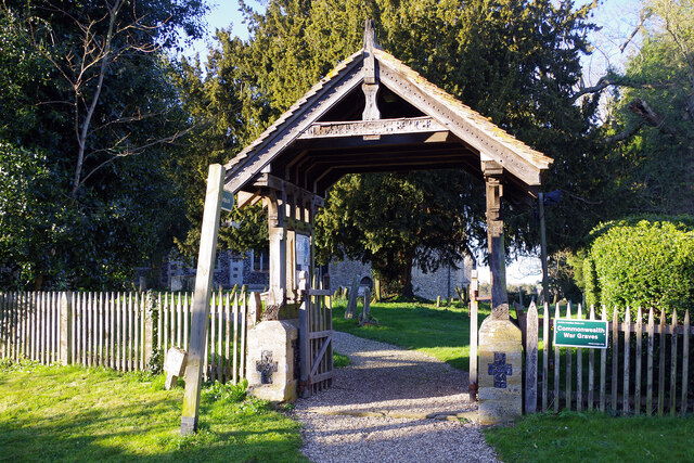
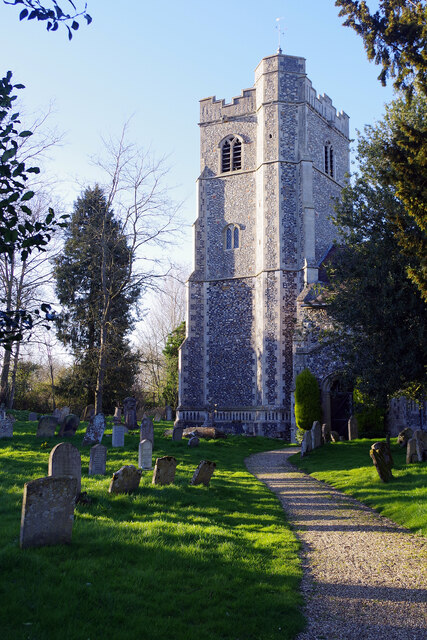
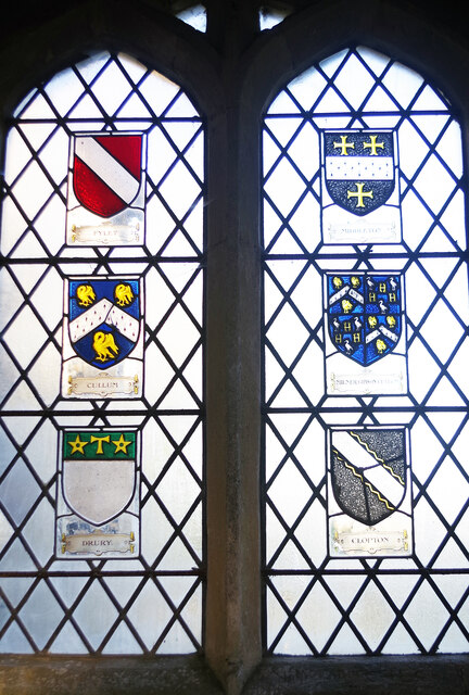
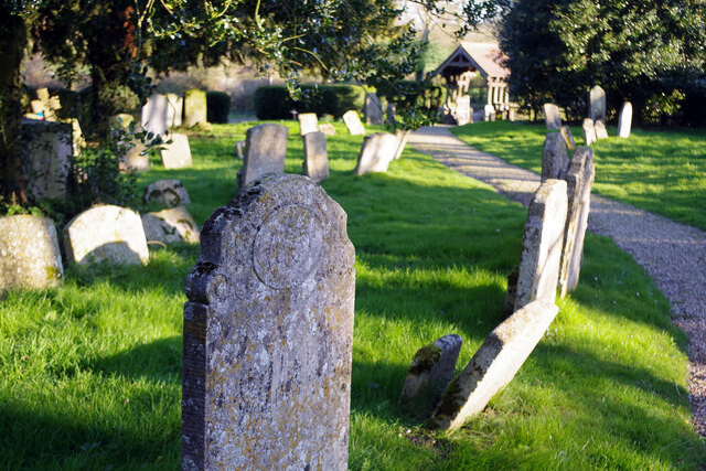
Brook Green is home to a close-knit community that takes pride in preserving its rich history and heritage. The village is dotted with historic buildings, including traditional thatched-roof cottages that exude timeless charm. The local church, a focal point of the community, stands as a testament to the village's long-standing presence.

Despite its rural setting, Brook Green boasts modern amenities and facilities for its residents and visitors. The village has a well-stocked local shop, a cozy pub, and a community center that hosts various events and activities throughout the year.

The village's idyllic location offers easy access to the nearby towns of Suffolk, where one can find a wider range of amenities, including shops, restaurants, and entertainment options. Additionally, the stunning coastline is just a short drive away, inviting residents and visitors to enjoy the sandy beaches and refreshing sea breeze.

In summary, Brook Green, Suffolk, is a hidden gem nestled in the heart of the Suffolk countryside. With its natural beauty, rich history, and warm community spirit, it offers a serene escape for those seeking a peaceful and picturesque retreat.

If you have any feedback on the listing, please let us know in the comments section below.

Brook Green Images

Images are sourced within 2km of 52.194354/0.72930958 or Grid Reference TL8658. Thanks to Geograph Open Source API. All images are credited.

Barley field off Brand's Lane
Coronation Wood Looking across farmland to Coronation Wood from Bull Lane in the countryside between Whepstead and Hawstead.
Coronation Wood
Looking across farmland to Coronation Wood from Bull Lane in the countryside between Whepstead and Hawstead.
Hawstead Church - lych gate and tower The attractive lych gate was erected in 1903; behind that the 63 feet tower of All Saints' church was completed in 1510.
Hawstead Church - lych gate and tower
The attractive lych gate was erected in 1903; behind that the 63 feet tower of All Saints' church was completed in 1510.
Hawstead Church - lych gate The lych gate leading to All Saints' Church dates from 1903. Note the sign that tells us there are Commonwealth war graves at this location.
Hawstead Church - lych gate
The lych gate leading to All Saints' Church dates from 1903. Note the sign that tells us there are Commonwealth war graves at this location.
Hawstead Church There has been a church on this site certainly since Norman times and possibly before that. The present building, however, dates only from the 16th century and was restored in 1857. The dedication is to All Saints. The tower, completed in 1510, is 63 feet high. The building is grade I listed.
Hawstead Church
There has been a church on this site certainly since Norman times and possibly before that. The present building, however, dates only from the 16th century and was restored in 1857. The dedication is to All Saints. The tower, completed in 1510, is 63 feet high. The building is grade I listed.
Hawstead church - porch window It is fairly unusual for a church porch to have windows like this but here there are two facing each other displaying the armorial shields of local families.
Hawstead church - porch window
It is fairly unusual for a church porch to have windows like this but here there are two facing each other displaying the armorial shields of local families.
Hawstead Churchyard The illegible gravestone in the foreground is close to the south door of All Saints' church; the adjacent path leads down to the lych gate.
Hawstead Churchyard
The illegible gravestone in the foreground is close to the south door of All Saints' church; the adjacent path leads down to the lych gate.
Bury Lane, near Hawstead Hall This view is looking towards Hawstead village where motorists are clearly warned about the sharp bend in the road.
Bury Lane, near Hawstead Hall
This view is looking towards Hawstead village where motorists are clearly warned about the sharp bend in the road.
Signpost by Hawstead Hall The signpost looks to have seen better days as it leans drunkenly at the junction of Bury Road and Hawstead Lane opposite the entrance to Hawstead Hall.
Signpost by Hawstead Hall
The signpost looks to have seen better days as it leans drunkenly at the junction of Bury Road and Hawstead Lane opposite the entrance to Hawstead Hall.
Metcalfe Almshouses, Hawstead Built in 1881 and a registered charity.
Metcalfe Almshouses, Hawstead
Built in 1881 and a registered charity.
Bury Road, Hawstead Green
Hawstead Village Hall
Bury Road, Hawstead Green
View across field of rapeseed towards Hawstead Church Taken from the footpath from All Saints, Hawstead to Pinford End. The footpath skirts the field, having been diverted from its previous route across the field some 20 or more years ago.
View across field of rapeseed towards Hawstead Church
Taken from the footpath from All Saints, Hawstead to Pinford End. The footpath skirts the field, having been diverted from its previous route across the field some 20 or more years ago.
Footpath between Hawstead Church and Pinford End After skirting an arable field the path cuts through a copse.
Footpath between Hawstead Church and Pinford End
After skirting an arable field the path cuts through a copse.
The farmhouse at Hawstead Hall Farm
St Thomas A Becket Great Whelnetham The church of St Thomas a Becket Great Whelnetham, Suffolk for more info see <span class="nowrap"><a title="http://www.suffolkchurches.co.uk/gwhelnetham.html" rel="nofollow ugc noopener" href="http://www.suffolkchurches.co.uk/gwhelnetham.html">Link</a><img style="margin-left:2px;" alt="External link" title="External link - shift click to open in new window" src="https://s1.geograph.org.uk/img/external.png" width="10" height="10"/></span> for other view of the church see <a title="https://www.geograph.org.uk/photo/2892221" href="https://www.geograph.org.uk/photo/2892221">Link</a>
St Thomas A Becket Great Whelnetham
The church of St Thomas a Becket Great Whelnetham, Suffolk for more info see LinkExternal link for other view of the church see Link
St Thomas A Becket Great Whelnetham The church of St Thomas a Becket Great Whelnetham, Suffolk for more info see <span class="nowrap"><a title="http://www.suffolkchurches.co.uk/gwhelnetham.html" rel="nofollow ugc noopener" href="http://www.suffolkchurches.co.uk/gwhelnetham.html">Link</a><img style="margin-left:2px;" alt="External link" title="External link - shift click to open in new window" src="https://s1.geograph.org.uk/img/external.png" width="10" height="10"/></span> for other view of the church see <a title="https://www.geograph.org.uk/photo/2892106" href="https://www.geograph.org.uk/photo/2892106">Link</a>
St Thomas A Becket Great Whelnetham
The church of St Thomas a Becket Great Whelnetham, Suffolk for more info see LinkExternal link for other view of the church see Link
Show me another place!

Brook Green is located at Grid Ref: TL8658 (Lat: 52.194354, Lng: 0.72930958)

Administrative County: Suffolk

District: West Suffolk

Police Authority: Suffolk

What 3 Words

///grain.mammal.bullion. Near Bury St Edmunds, Suffolk

Related Wikis

Hawstead

Hawstead is a small village and civil parish in the West Suffolk district of Suffolk in eastern England. It is located 5 kilometres (3 mi) south of Bury...

Tutelina Mill, Great Welnetham

Tutelina Mill, also known as Clarke's Mill, is a Grade II listed tower mill at Great Welnetham, Suffolk, England which has been conserved. == History... ==

Great Whelnetham

Great Whelnetham (sometimes Great Welnetham) is a village and civil parish in the West Suffolk district of Suffolk in eastern England. Located around two...
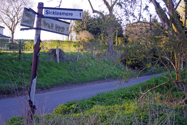
Sicklesmere

Sicklesmere is a village in Suffolk, England. Located on the A134 around a mile south of Bury St Edmunds, the village is divided between the civil parishes...

Nowton

Nowton is a small village and civil parish in the West Suffolk district of Suffolk in eastern England. Located on the southern edge of Bury St Edmunds...

Bradfield Combust with Stanningfield

Bradfield Combust with Stanningfield is a civil parish about 6 miles south of Bury St Edmunds, in the West Suffolk district of Suffolk, England. According...

Little Whelnetham

Little Whelnetham (well-NEE-thum) (sometimes Little Welnetham) is a village and civil parish in the West Suffolk district of Suffolk in eastern England...

Stanningfield

Stanningfield is a village and former civil parish, now in the parish of Bradfield Combust with Stanningfield, in the West Suffolk district of the county...

Nearby Amenities

Located within 500m of 52.194354,0.72930958
Defibrillator
Defibrillator Location: Under covered veranda on north wall of Hawstead Village Hall.
Emergency: defibrillator
Lat/Long: 52.1930439/0.7225367
Waste Basket
Waste: dog_excrement
Lat/Long: 52.1946404/0.7258653
Hawstead Green
Place: hamlet
Lat/Long: 52.193786/0.7235371
The data included in this document is from www.openstreetmap.org. The data is made available under ODbL.

Have you been to Brook Green?

Leave your review of Brook Green below (or comments, questions and feedback).