Croft Wood
Wood, Forest in Sussex Rother
England
Croft Wood

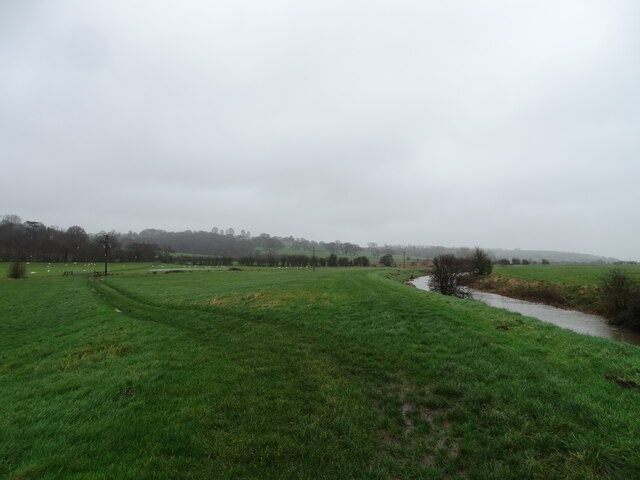
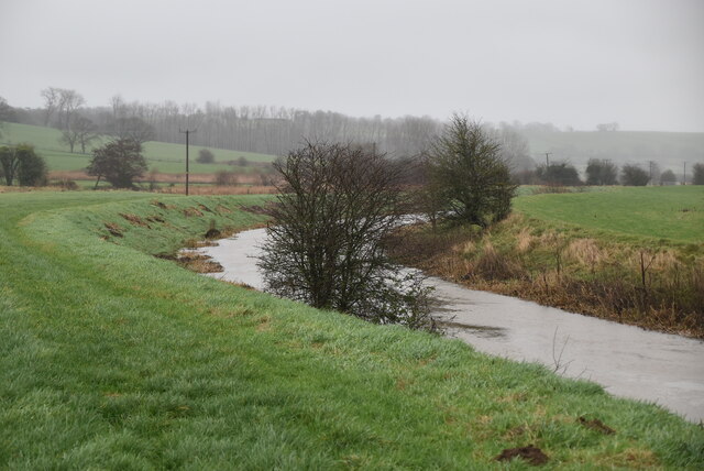
Croft Wood is a picturesque woodland located in the county of Sussex, England. This enchanting forest covers an area of approximately 200 acres and is home to a diverse range of flora and fauna. The wood is renowned for its natural beauty and tranquil atmosphere, making it a popular destination for nature enthusiasts and outdoor adventurers.
As visitors step foot into Croft Wood, they are immediately greeted by a dense canopy of tall, majestic trees. The woodland is predominantly composed of native species such as oak, beech, and ash, which create a stunning display of colors throughout the seasons. The forest floor is blanketed with a lush carpet of ferns, wildflowers, and mosses, adding to the woodland's enchanting charm.
Croft Wood is not only a haven for plant life but also serves as a sanctuary for various animal species. It provides a habitat for numerous birds, including woodpeckers, owls, and thrushes, which can be heard singing their melodious tunes. Foxes, badgers, and rabbits are also known to roam the forest floor, adding to the ecosystem's biodiversity.
The wood offers a network of well-maintained trails and pathways, allowing visitors to explore its natural wonders at their own pace. Hikers and nature lovers can immerse themselves in the peaceful ambiance, enjoying the sights, sounds, and scents of this idyllic woodland.
Croft Wood is not only a place of natural beauty but also holds historical significance. It is believed that the wood has been standing for centuries, bearing witness to the passage of time and preserving the rich heritage of the surrounding area.
Overall, Croft Wood in Sussex is a captivating destination, offering a tranquil retreat in the midst of nature's splendor.
If you have any feedback on the listing, please let us know in the comments section below.
Croft Wood Images
Images are sourced within 2km of 50.913875/0.64940586 or Grid Reference TQ8616. Thanks to Geograph Open Source API. All images are credited.


Croft Wood is located at Grid Ref: TQ8616 (Lat: 50.913875, Lng: 0.64940586)
Administrative County: East Sussex
District: Rother
Police Authority: Sussex
What 3 Words
///towers.prowl.blunders. Near Fairlight, East Sussex
Nearby Locations
Related Wikis

Hastings and Rye (UK Parliament constituency)
Hastings and Rye is a constituency in East Sussex represented in the House of Commons of the UK Parliament since 2019 by Sally-Ann Hart of the Conservative...
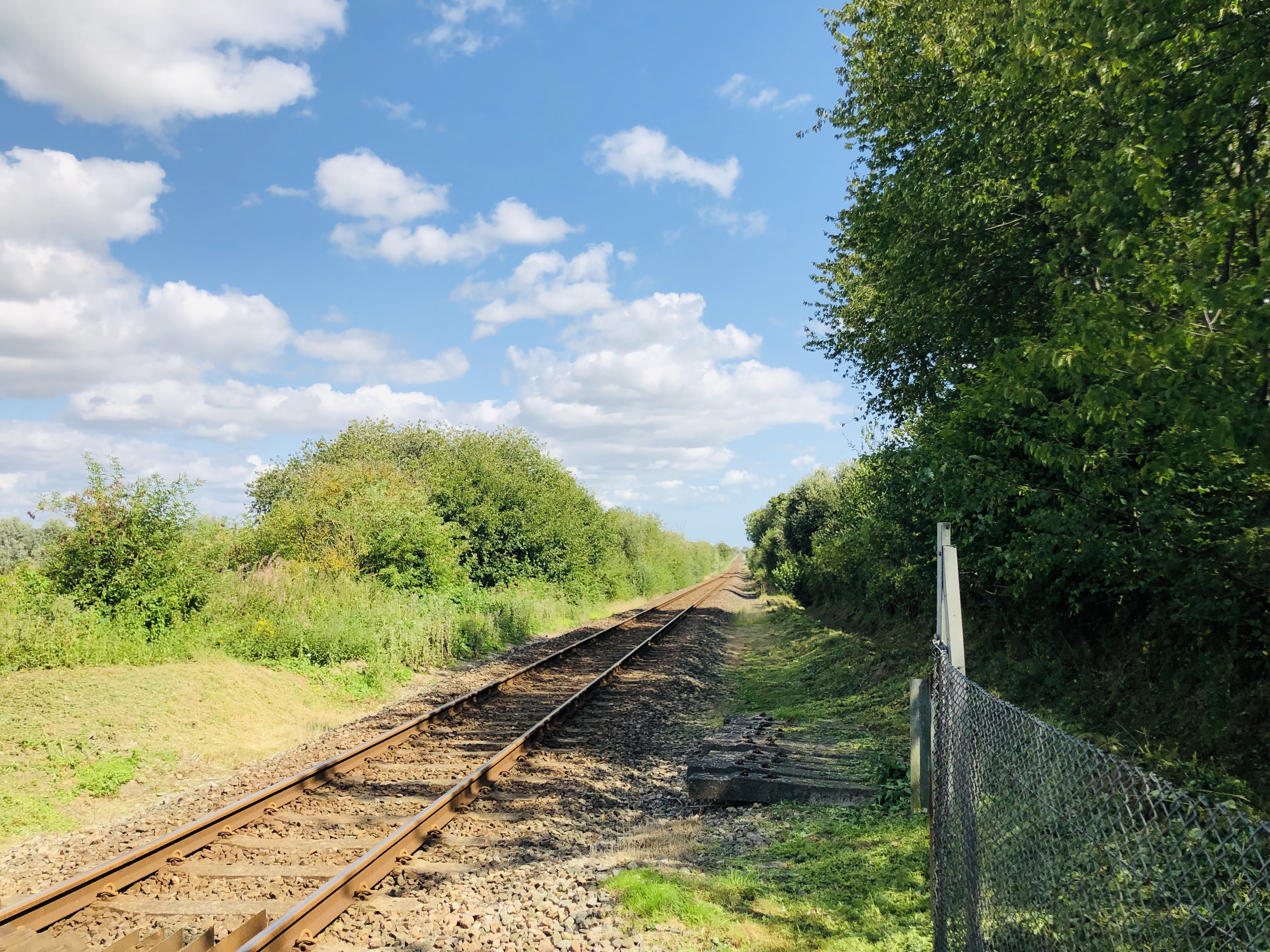
Snailham Halt railway station
Snailham Halt railway station was on the South Eastern Railway's route between Ashford and Hastings, nowadays known as the Marshlink Line. It opened in...

Icklesham
Icklesham is a village and civil parish in the Rother district of East Sussex, England. The village is located about six miles (10 km) east of Hastings...

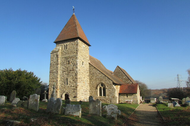
St Laurence's Church, Guestling
The Parish Church of St Laurence is a Church of England church and listed building in the village of Guestling in the Rother District of East Sussex. The...

Buckswood School
Buckswood School is a private school for boys and girls that was founded in 1933. Originally the school was situated in Uckfield and known as Buckswood...
Hogg Hill Mill, Icklesham
Hogg Hill Mill is a post mill at Icklesham in East Sussex, England. == History == Hogg Hill Mill was built in Pett in 1781 and moved to Icklesham in 1790...

Doleham railway station
Doleham railway station is a small, single-platform wayside halt in Doleham, East Sussex, England. It is on the Marshlink line, and train services are...

Pett
Pett is a village and civil parish in the Rother district of East Sussex, England. The village is located 5 miles (8.0 km) north-east of Hastings on the...
Nearby Amenities
Located within 500m of 50.913875,0.64940586Have you been to Croft Wood?
Leave your review of Croft Wood below (or comments, questions and feedback).