Seven Acre Plantation

Wood, Forest in Norfolk Breckland

England

Seven Acre Plantation

Post Box at Little Cressingham IP25 3217. Royal Mail list this box as 'IP25 White Horse Corner'.
Post Box at Little Cressingham Credit: David Bremner

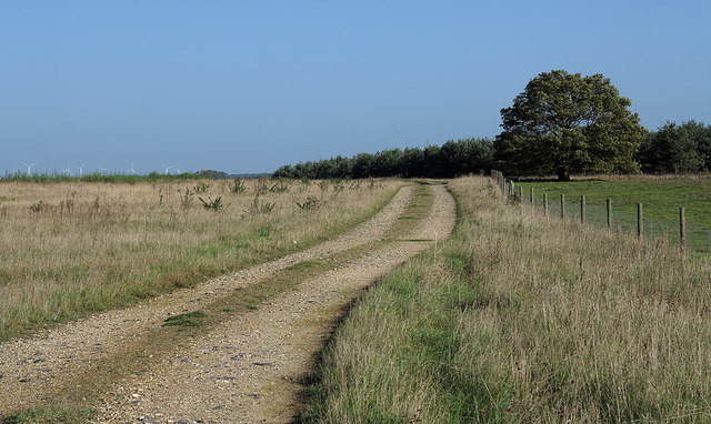
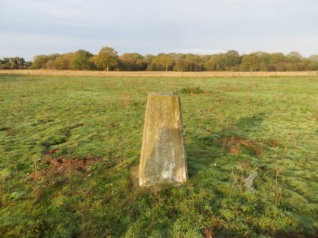
Seven Acre Plantation is a densely wooded area located in Norfolk, England. Spanning over seven acres, this plantation is a significant natural resource within the region. The plantation is situated in a flat landscape, with the surrounding area predominantly consisting of agricultural fields and farmland.

The woodland within Seven Acre Plantation is primarily composed of deciduous trees, such as oak, beech, and ash, creating a rich and diverse ecosystem. The trees in the plantation form a dense canopy, providing ample shade and shelter for a variety of plant and animal species. The forest floor is covered in a thick layer of leaf litter, creating a fertile ground for the growth of wildflowers, ferns, and mosses.

The plantation is home to a wide range of wildlife, including various species of birds, mammals, and insects. Woodpeckers, owls, and songbirds can often be heard singing from the treetops, while mammals such as foxes, rabbits, and squirrels can be observed foraging amongst the undergrowth.

Seven Acre Plantation offers a tranquil and peaceful environment, attracting nature enthusiasts, hikers, and photographers. The well-maintained footpaths and trails within the plantation allow visitors to explore the woodlands and appreciate its natural beauty.

This plantation serves as an important green space, providing a habitat for wildlife, regulating air quality, and contributing to the overall biodiversity of the area. It also offers recreational opportunities for the local community and serves as an educational resource for schools and nature organizations.

Overall, Seven Acre Plantation is a valuable woodland area within Norfolk, offering a haven for wildlife and a place of natural beauty for visitors to enjoy and appreciate.

If you have any feedback on the listing, please let us know in the comments section below.

Seven Acre Plantation Images

Images are sourced within 2km of 52.553425/0.7452196 or Grid Reference TL8698. Thanks to Geograph Open Source API. All images are credited.

Post Box at Little Cressingham IP25 3217. Royal Mail list this box as 'IP25 White Horse Corner'.
Post Box at Little Cressingham
IP25 3217. Royal Mail list this box as 'IP25 White Horse Corner'.
Rough grazing on north side of B1108 The B1108 here is west of Watton and among lands used by the MOD. The rough road heading north in the image may well see farm, estate and military use.
Rough grazing on north side of B1108
The B1108 here is west of Watton and among lands used by the MOD. The rough road heading north in the image may well see farm, estate and military use.
Ordnance Survey Triangulation Pillar near the Water Tower at South Bodney Looking north-westward.
Ordnance Survey Triangulation Pillar near the Water Tower at South Bodney
Looking north-westward.
The Arms The Arms is a hamlet within the parish of Little Cressingham and Threxton; its curious name appears to derive from a pub which was once here - the Cressingham Arms. There is nothing much here now except a parish notice case and a bench for the weary; even the old methodist chapel has become a private residence. It is more or less surrounded on three sides by the vast Stanford battle area - land used by the Army as a training ground since the Second World War - giving the small settlement an isolated end of the road feel.
The Arms
The Arms is a hamlet within the parish of Little Cressingham and Threxton; its curious name appears to derive from a pub which was once here - the Cressingham Arms. There is nothing much here now except a parish notice case and a bench for the weary; even the old methodist chapel has become a private residence. It is more or less surrounded on three sides by the vast Stanford battle area - land used by the Army as a training ground since the Second World War - giving the small settlement an isolated end of the road feel.
The Arms Parish Notices There isn't a great deal to do at The Arms, but one possibility is to read the notices of Little Cressingham and Threxton Parish Council, neatly displayed in this notice case. Light pollution seems to be a current concern - street lamps are not wanted here in this deeply rural corner of Norfolk. The signpost is a little surreal, reminding visitors that there is no way on from here other than to go back to the B1108; land stretching for many miles to the south is taken by the Ministry of Defence for its Stanford Battle Area.
The Arms Parish Notices
There isn't a great deal to do at The Arms, but one possibility is to read the notices of Little Cressingham and Threxton Parish Council, neatly displayed in this notice case. Light pollution seems to be a current concern - street lamps are not wanted here in this deeply rural corner of Norfolk. The signpost is a little surreal, reminding visitors that there is no way on from here other than to go back to the B1108; land stretching for many miles to the south is taken by the Ministry of Defence for its Stanford Battle Area.
Stanford Training Area The Stanford Training Area (STANTA), more commonly known by its original name the 'Battle Area', is a vast army training ground occupying about 30,000 acres of Norfolk breckland. The land was acquired in 1942 taking over six villages and has been used ever since - including training troops for operations in Afghanistan. Many of the roads entering the area are part of the original road network, but this one, just west of The Arms, was purpose-built.
Stanford Training Area
The Stanford Training Area (STANTA), more commonly known by its original name the 'Battle Area', is a vast army training ground occupying about 30,000 acres of Norfolk breckland. The land was acquired in 1942 taking over six villages and has been used ever since - including training troops for operations in Afghanistan. Many of the roads entering the area are part of the original road network, but this one, just west of The Arms, was purpose-built.
Stanford Training Area Byelaws The Stanford Training Area Byelaws 1970, as amended by the Stanford Training Area (Amendment) Byelaws 1975, are set out on this notice on the edge of this vast army training ground.
Stanford Training Area Byelaws
The Stanford Training Area Byelaws 1970, as amended by the Stanford Training Area (Amendment) Byelaws 1975, are set out on this notice on the edge of this vast army training ground.
Farmland near The Arms A wet field by the edge of the Stanford Training Area (or Battle Area).
Farmland near The Arms
A wet field by the edge of the Stanford Training Area (or Battle Area).
Winter cereal crop beside Smuggler's Road
Braithwaite water tower at Bodney
Telephone box used as a book exchange, Little Cressingham This is becoming an increasingly popular use for old phone boxes. Use the tag below to search for other examples.
Telephone box used as a book exchange, Little Cressingham
This is becoming an increasingly popular use for old phone boxes. Use the tag below to search for other examples.
The former White Horse pub, Little Cressingham The pub closed in 2004 and is now converted for residential use.
The former White Horse pub, Little Cressingham
The pub closed in 2004 and is now converted for residential use.
Little Cressingham combined wind and water mill This unique mill was built around 1821. The mill has two pairs of stones in the base of the tower which were driven by the water wheel while a further two pairs of wheels in the upper tower were driven by the sails.
The mill ceased working by wind in 1916 but continued as a water mill until 1952.
The mill has been in the care of the Norfolk Windmills Trust since 1981.
Little Cressingham combined wind and water mill
This unique mill was built around 1821. The mill has two pairs of stones in the base of the tower which were driven by the water wheel while a further two pairs of wheels in the upper tower were driven by the sails. The mill ceased working by wind in 1916 but continued as a water mill until 1952. The mill has been in the care of the Norfolk Windmills Trust since 1981.
Little Cressingham wind and water mill information board This unique mill was built around 1821. The mill has two pairs of stones in the base of the tower which were driven by the water wheel while a further two pairs of wheels in the upper tower were driven by the sails.
The mill ceased working by wind in 1916 but continued as a water mill until 1952.
The mill has been in the care of the Norfolk Windmills Trust since 1981.
Little Cressingham wind and water mill information board
This unique mill was built around 1821. The mill has two pairs of stones in the base of the tower which were driven by the water wheel while a further two pairs of wheels in the upper tower were driven by the sails. The mill ceased working by wind in 1916 but continued as a water mill until 1952. The mill has been in the care of the Norfolk Windmills Trust since 1981.
St. Andrew's church Little Cressingham The 15th c. church at Little Cressingham is semi ruinous. The tower partially collapsed sometime before 1781 damaging the first two bays of the nave. A new west wall was built with a door into the nave and the tower, which served as a porch remains ruinous to this day. Above the  ruinous arches, the windows of the clerestory bear witness to what a grand church this once was, the large west window must have been quite splendid. The font was smashed and was replaced by a plain octagonal 18th c. model. Perhaps the only thing of mild interest here apart from the picturesque ruin is the lovely piscina with foliated cusps and the adjacent sedilia with its low seat, confirming that at some time the chancel floor has been raised. The windows in the chancel have been blocked up and the whole is rather uninteresting.
St. Andrew's church Little Cressingham
The 15th c. church at Little Cressingham is semi ruinous. The tower partially collapsed sometime before 1781 damaging the first two bays of the nave. A new west wall was built with a door into the nave and the tower, which served as a porch remains ruinous to this day. Above the ruinous arches, the windows of the clerestory bear witness to what a grand church this once was, the large west window must have been quite splendid. The font was smashed and was replaced by a plain octagonal 18th c. model. Perhaps the only thing of mild interest here apart from the picturesque ruin is the lovely piscina with foliated cusps and the adjacent sedilia with its low seat, confirming that at some time the chancel floor has been raised. The windows in the chancel have been blocked up and the whole is rather uninteresting.
Little Cressingham wind and water mill The tower contains a water mill with breast shot wheel in the lower half and a windmill in the upper half. This dates from 1821. The windmill ceased in 1916 but milling continued with water power and oil engine power until 1952. The white building behind the tree houses a waterwheel powered Bramah pump supplying Clermont Hall a mile away. This is only occasionally open to the public and is a rare gem.
Little Cressingham wind and water mill
The tower contains a water mill with breast shot wheel in the lower half and a windmill in the upper half. This dates from 1821. The windmill ceased in 1916 but milling continued with water power and oil engine power until 1952. The white building behind the tree houses a waterwheel powered Bramah pump supplying Clermont Hall a mile away. This is only occasionally open to the public and is a rare gem.
Little Cressingham Mill - Bramah pump Next to the combined wind and watermill is a little pump house that supplied Clermont Hall with water. This contains a gear driven three throw Bramah pump operated by a high breastshot waterwheel. This was later replaced by two hydraulic rams that are really not photogenic. The Bramah pump is a real beauty and worth a look every bit as much as the rare wind and water mill adjoining it.
Little Cressingham Mill - Bramah pump
Next to the combined wind and watermill is a little pump house that supplied Clermont Hall with water. This contains a gear driven three throw Bramah pump operated by a high breastshot waterwheel. This was later replaced by two hydraulic rams that are really not photogenic. The Bramah pump is a real beauty and worth a look every bit as much as the rare wind and water mill adjoining it.
Show me another place!

Seven Acre Plantation is located at Grid Ref: TL8698 (Lat: 52.553425, Lng: 0.7452196)

Administrative County: Norfolk

District: Breckland

Police Authority: Norfolk

What 3 Words

///reapply.notifying.garages. Near Watton, Norfolk

Nearby Locations

Seven Acre Plantation

Related Wikis

Old Bodney Camp

Old Bodney Camp is a 32.8-hectare (81-acre) biological Site of Special Scientific Interest west of Little Cressingham in Norfolk. It is part of the Breckland...
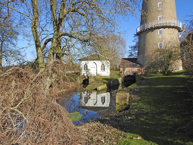
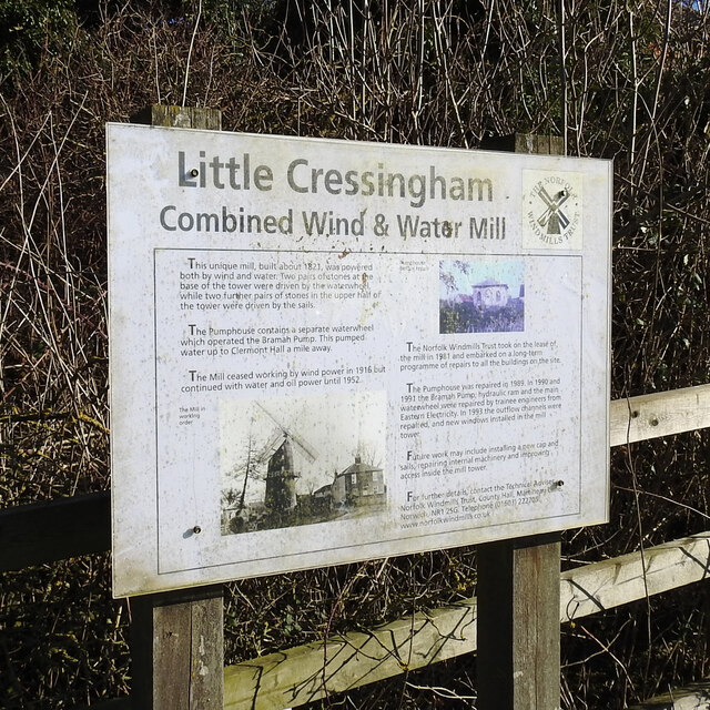
Little Cressingham

Little Cressingham lies 2.5 miles (4.0 km) south east by road from Great Cressingham, 3 miles (4.8 km) west of Watton and 8 miles (13 km) south of Swaffham...

Great Cressingham

Great Cressingham is a Norfolk village which lies about 5 miles (8 km) of Watton, 6 miles (10 km) south of Swaffham and only 1.5 miles (2.4 km) off the...

RAF Bodney

Royal Air Force Bodney or more simply RAF Bodney is a former Royal Air Force Station located 4.5 miles (7.2 km) west of Watton, Norfolk, England. Originally...

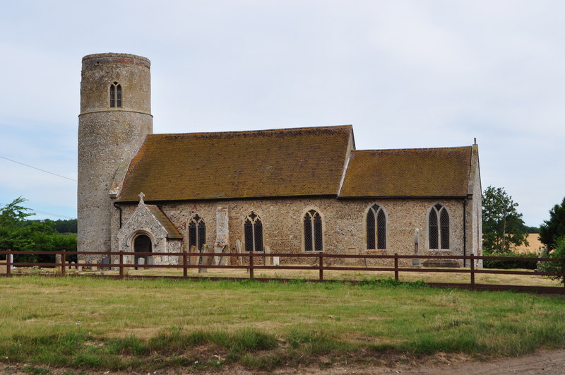
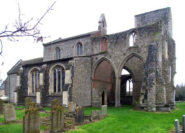
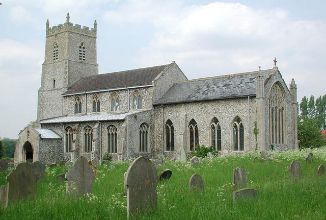
Threxton, All Saints

Threxton All Saints is a round-tower church at Threxton Hill, situated east of the village of Little Cressingham and west of the town of Watton in the...

Langford, Norfolk

Langford is a village and former civil parish, now in the parish of Ickburgh, in the Breckland district, in the county of Norfolk, England. The village...

Hooks Well Meadows, Great Cressingham

Hooks Well Meadows, Great Cressingham is a 15.6-hectare (39-acre) biological Site of Special Scientific Interest near Great Cressingham] in Norfolk.This...

Stanford Training Area

The Stanford Training Area (STANTA), originally known as the Stanford Battle Area, is a British Army training area situated in the English county of Norfolk...

Nearby Amenities

Located within 500m of 52.553425,0.7452196
The data included in this document is from www.openstreetmap.org. The data is made available under ODbL.

Have you been to Seven Acre Plantation?

Leave your review of Seven Acre Plantation below (or comments, questions and feedback).